If you are planning a trip from Carthage to Biloxi, expect a straightforward journey covering 230.2 miles. You can easily complete this drive in about 4 hours and 26 minutes, making it a manageable day trip that does not require an overnight stay. Your path primarily utilizes the Stephen E Ambrose Memorial Parkway, West Florida Republic Parkway, and I-55 to get you from the interior of Mississippi to the coast. Budget approximately $35 for fuel to cover the distance. Since both the origin and destination are located within the Southeast, you will experience a consistent regional feel throughout your transit. It is a practical, efficient route for travelers looking to reach the Gulf Coast without unnecessary detours.
Trip Pace
Same-day drive is realistic
A same-day return is possible, but it will make for a full day on the road.
Break Rhythm
1 planned break
Plan on a short reset every 3 to 4 hours to stay fresh behind the wheel.
Midpoint
115.1 miles from Carthage, MS
A natural place for your longest stop of the day
, about 2h 18m into the drive
.
Main Roads
Road
Distance
Duration
Stephen E Ambrose Memorial Parkway
51.2 mi
54m
West Florida Republic Parkway
48.2 mi
51m
I 55
43.2 mi
46m
US 98
43.2 mi
48m
US 84
28.3 mi
32m
Seargent Prentiss Drive
6.4 mi
7m
I 110
2.7 mi
3m
Carthage Point Road
2.3 mi
8m
Longest stretch:
Stephen E Ambrose Memorial Parkway
— 51.2 mi, about 54m
Traffic on I-10
Hour-of-day weekday pattern from 18 FHWA count stations on your route.
Peak
4 PM
~2,351 veh/hr typical
· worst 2,856
Quietest
2 AM
~243 veh/hr
Peak-to-quiet ratio
9.7×
busier at peak than in the quiet hours
12a6anoon6p11p
Averaged across 51 weeks of 2023 FHWA Travel Monitoring Analysis System data. Weekday hours only (Mon–Fri).
Turn-by-Turn Driving Directions
Step-by-step road directions between Carthage, MS and Biloxi, MS.
1
Start on this road
45 ft·2 sec·this road
2
Turn straight onto Carthage Point Road
2.1 mi·8 min·Carthage Point Road
3
Keep slight left at fork onto Carthage Point Road
0.1 mi·29 sec·Carthage Point Road
4
Turn straight onto Lower Woodville Road
0.8 mi·2 min·Lower Woodville Road
5
Turn right onto Highland Boulevard
1.0 mi·2 min·Highland Boulevard
6
Turn left onto US 61
6.4 mi·7 min·Seargent Prentiss Drive
7
Take the exit onto US 84
28 mi·32 min·US 84
8
Take the exit
0.3 mi·39 sec
9
Keep slight left at fork
167 ft·4 sec
10
Turn right onto US 98; MS 184
0.6 mi·43 sec·US 98; MS 184
11
Turn right onto US 98
29 mi·32 min·US 98
12
Take the exit onto US 98
14 mi·14 min·US 98
13
Continue on I 55
43 mi·46 min·I 55
14
Take the exit
0.2 mi·27 sec
Exit 29AToward I 12 East: Slidell
15
Merge onto I 12
47 mi·50 min·West Florida Republic Parkway
Use the straight / slight right lanes.
16
Continue on I 12
0.7 mi·43 sec·West Florida Republic Parkway
Exit 85CToward I 10: Bay Saint Louis
17
Merge onto I 10
51 mi·54 min·Stephen E Ambrose Memorial Parkway
18
Take the exit
0.1 mi·14 sec
Exit 46A-CToward I 110, MS 15, MS 67: Biloxi, Keesler Air Force Base
19
Keep slight left at fork
0.4 mi·51 sec
20
Keep slight right at fork
0.5 mi·1 min
Exit 46BToward I 110: Biloxi, Keesler Air Force Base
21
Merge onto I 110
2.7 mi·3 min·I 110
22
Take the exit
0.4 mi·47 sec
Exit 1cToward Division Street
23
Turn left onto Division Street
0.6 mi·1 min·Division Street
24
Turn right onto Main Street
0.5 mi·1 min·Main Street
25
Turn left onto Howard Avenue
91 ft·3 sec·Howard Avenue
26
Arrive at destination
Howard Avenue
Trip Plan
To keep your travel stress-free, plan for at least one dedicated stop during your 230.2-mile trek to break up the monotony of the highway. Because the drive is under five hours, you have the flexibility to depart at a time that best fits your schedule, though leaving early morning can help you avoid potential traffic closer to the coast. Keep a close eye on your fuel gauge, keeping that $35 budget in mind as you navigate the interstate sections. Since the route is dominated by high-speed roads, ensure your vehicle is prepped for sustained highway driving. Taking your single break midway through the journey will help you arrive in Biloxi feeling refreshed and ready for the coast.
Morning Departure
An early start around 7-8 AM gets you there with plenty of daylight left.
Evening Departure
A late afternoon start means arriving after dark. Morning is better.
You can normally do this drive in one day.
Plan roughly 1 meaningful break for fuel, food, and rest.
The halfway point lands around 115.1 miles from Carthage, MS, or about 2h 18m into the drive.
The longest continuous stretch on this route runs about 51.2 miles.
This is a comfortable same-day trip.
Departure
Before you leave
Start with fuel, water, and navigation already sorted so the first hour feels easy.
First stop
Around 51 miles or 1h 8m in
Use this first pause for coffee, a restroom break, and a quick traffic check ahead.
Halfway reset
Around 115.1 miles or 2h 18m in
This is the best place for your longest stop, a real meal, and a full fuel check.
Final approach
Final hour starts around 3h 37m
Traffic, exits, and arrival timing usually matter more near Biloxi, MS than in the middle of the route.
Before You Leave
+
Open the route before leaving Carthage, MS so your first major turns are already loaded.
+
Leave with enough water and a charging cable within reach, not packed away.
+
Check your fuel range against the first long segment, especially if you are starting outside city service areas.
Day 1
Settle into the route from Carthage, MS
This is one driving day of about 230.2 miles and 4h 26m.
Your first comfortable stop window is around 51 miles from Carthage, MS.
This route can stay practical as a one-day drive if traffic stays reasonable.
Plan about 1 real break rather than only quick fuel stops.
The longest stretch is on Stephen E Ambrose Memorial Parkway for about 51.2 miles.
Where to Stop
Rest stops, refuel points, and overnight suggestions along this route.
Place data sourced from public business listings. Hours and availability may vary.
Heads-up: tricky spots
5 of 18
5 decision points cluster between mile 39.1 and 225.6 — GPS handles the exact turns, but know they're coming. Your lane choice matters more than the turn itself.
5
39.1 mi into trip|~54m in
Keep slight left at fork
Highway fork - watch signs carefully
5
125.5 mi into trip|~2h 29m in
Take the exit toward I 12 East: Slidell
Exit ramp - move to the correct lane early
Exit 29A
Toward I 12 East: Slidell
5
125.7 mi into trip|~2h 29m in|I 12 / West Florida Republic Parkway
Merge onto I 12 / West Florida Republic Parkway
Merge point - match speed before joining. Lane positioning matters here
Use the straight / slight right lanes.
6
225.1 mi into trip|~4h 16m in
Take the exit toward I 110, MS 15, MS 67: Biloxi, Keesler Air Force Base
Exit ramp - move to the correct lane early. Multiple destination signs - pick the right one
Exit 46A-C
Toward I 110, MS 15, MS 67: Biloxi, Keesler Air...
7
225.6 mi into trip|~4h 17m in
Keep slight right at fork toward I 110: Biloxi, Keesler Air Force Base
Highway fork - watch signs carefully. Multiple destination signs - pick the right one
Exit 46B
Toward I 110: Biloxi, Keesler Air Force Base
Fuel & Cost
Regular Gas
$31.96 one way
$63.91 round trip
$3.53/gal25.4 MPG avg81 kg CO2
Fuel Type
$/gal
One Way
Round Trip
midgrade
$3.95
$35.75
$71.51
premium
$4.29
$38.87
$77.74
diesel
$4.80
$43.47
$86.93
No toll roads detected on this route.
Estimated Trip Cost (one way, 1 person)
Fuel
$32
Meals
$25–$50
Total
$57–$82
Rough estimate based on US averages. Hotel $80–$140/night, meals $25–$50/day.
Estimated CO2 emission: 80.5 kg one way.
Prices: EIA weekly data, 2026-07-13.
Driving Electric?
About $24 in charging
· 0 stops
· 67% less CO2
Vehicle Type
kWh
Stops
DC Fast
Home Charge
Average EV
69.1
0
$24.17
$11.05
Efficient EV
57.6
0
$20.14
$9.21
EV Truck/SUV
92.1
1
$32.23
$14.73
Gas CO2
81 kg
EV CO2
27 kg (67% less)
Plan for 0 charging stops, roughly every 270 miles. Allow 25-40 minutes per stop at a DC fast charger.
DC fast charging avg $0.35/kWh. Home charging avg $0.16/kWh. US grid CO2: 0.39 kg/kWh.
Travel Intel
Current conditions at both ends of the drive.
Forecast as of Jul 18, 2026
Origin
Carthage, MS
Late night
in Carthage on Sunday
Local time
4:39 AM
CDT
Current temp
97°F
Sunny
WNW 5 mph3% chanceLive forecast
Heat Advisory
Heat Advisory issued July 18 at 12:07PM CDT until July 18 at 8:00PM CDT by NWS Memphis TN
Heat Advisory
Heat Advisory issued July 18 at 12:07PM CDT until July 19 at 9:00PM CDT by NWS Memphis TN
Destination
Biloxi, MS
Late night
in Biloxi on Sunday
Local time
4:39 AM
CDT
Current temp
96°F
Sunny then Slight Chance Showers And Thunderstorms
NW 5 mph23% chanceLive forecast
Heat Advisory
Heat Advisory issued July 18 at 12:07PM CDT until July 18 at 8:00PM CDT by NWS Memphis TN
Heat Advisory
Heat Advisory issued July 18 at 12:07PM CDT until July 19 at 9:00PM CDT by NWS Memphis TN
Seasonal Notes
Summer travel usually means heavier construction, hotter rest stops, and busier weekend traffic around major cities.
Winter travel shortens daylight, so a route that looks manageable on paper can feel much longer after dark.
Holiday weekends tend to make both departure and arrival windows slower than the raw route time suggests.
Time zone
Same local time
Origin and destination are on the same clock, so arrival timing is easier to judge at a glance.
Temperature spread
1 degrees cooler at arrival
A meaningful temperature swing is a good cue to rethink layers, water, and how soon you want to arrive.
Road read
4h 26m on the road
An early start around 7-8 AM gets you there with plenty of daylight left.
Weather data from the National Weather Service. Conditions may change; check closer to your travel date.
National Parks Near This Route
Worth a detour if your schedule allows.
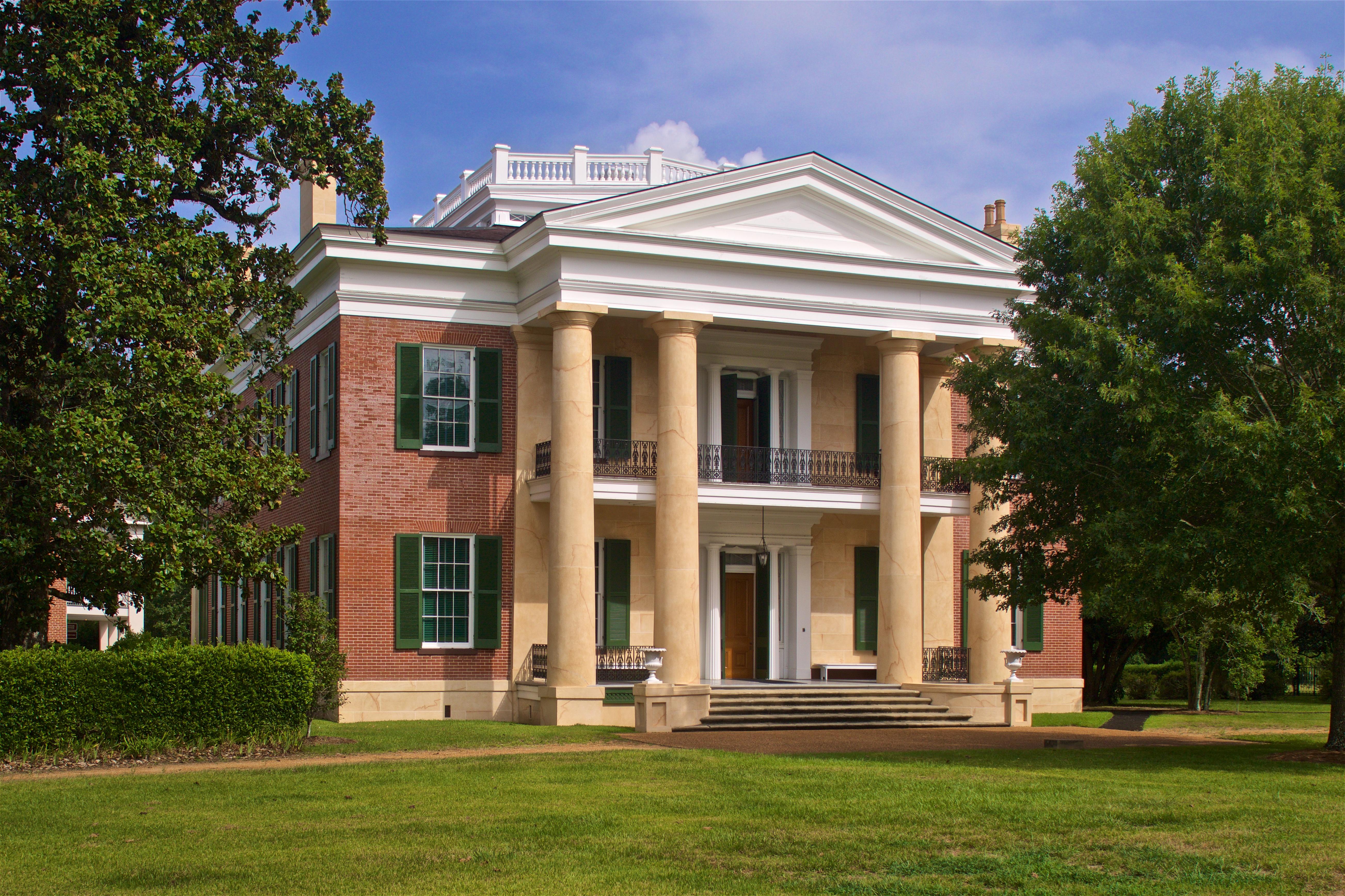
Natchez National Historical Park
National Historical Park
Discover the history of all the peoples of Natchez, Mississippi, from European settlement, African enslavement, the American cotton economy, to the Civil Rights struggle on the lower Mississippi River...
Park data from the National Park Service API. Alerts update every 2 hours.
More Details
What kind of drive is this?
This trip is heavily highway-focused, with 94% of your time spent on major roads. You will find that the rhythm of the drive is consistent, characterized by long, open stretches that help you cover ground quickly. The longest uninterrupted portion occurs early on, spanning 51.2 miles along the Stephen E Ambrose Memorial Parkway. While you won't encounter significant technical terrain, the transition from inland Mississippi toward the coastal region keeps the drive moving at a steady pace. Expect a reliable, predictable experience behind the wheel rather than a winding backroad adventure.
94% highway — fuel and pacing are the main things to plan.
26 navigation steps total — most of the decisions cluster near the start and finish.
Longest single stretch: 51.2 mi on Stephen E Ambrose Memorial Parkway.
How Hard Is This Drive?
8/10
This is a straightforward highway drive that stays mostly on Stephen E Ambrose Memorial Parkway and West Florida Republic Parkway. This route has several spots where lane changes, forks, or exits need your full attention. The trickiest moment comes around 39.1 miles in.
Driving Effort8/10
Demanding - plan breaks and stay ahead of the key maneuvers
Balances navigation complexity with total wheel time.
This is a demanding drive. With 18 significant decision points across 230.2 miles, you will need to stay alert - especially through interchange areas and urban stretches. Consider splitting it into segments if you are not comfortable with fast highway navigation.
Where does it get tricky?
The main spots that need attention: at 39.1 miles: Highway fork - watch signs carefully; at 125.5 miles: Exit ramp - move to the correct lane early; at 125.7 miles (I 12 / West Florida Republic Parkway): Merge point - match speed before joining. Lane positioning matters here.
Biloxi is a city in Harrison County, on the Gulf Coast of Mississippi. It's well known for its beaches and nine casinos. It is also home to the "Jefferson Davis Presidential Library and Museum", which serves as a museum of the Confederacy.
Top landmarks
•Jefferson Davis Presidential Library and Museum — presidential library and museum for Confederate States President Jefferson Davis...
•Beauvoir — post-war home of the former President of the Confederate States of America, Jeff...
•Biloxi Light — lighthouse in Mississippi, United States
Doable as a same-day drive at 4h 26m. Total distance: 230.2 miles.
Family Friendly
Moderate complexity with 1 natural rest stops along the way.
Solo Traveler
4h 26m drive, comfortable solo distance.
First-Time Driver
Mostly highway driving (94%). Some complex stretches to watch for.
Frequently Asked Questions
The longest stretch is about 51.2 miles on Stephen E Ambrose Memorial Parkway. The full list of main roads is in the Roads section above.
Yes — we found about 11 rest areas or service plazas within a short detour of the route (from OpenStreetMap). See the Rest Stops tab under Nearby Places for locations and mile markers. Plan to stretch, use the bathroom, and top off fluids every 2–3 hours on longer drives.
It helps. This route has a higher-than-average number of complex decision points, which get harder in the dark. If the last hour of the trip is on surface roads or mountain grades, aim to arrive at Biloxi, MS before sunset when you can. Check the Trip Plan for departure windows that land you in daylight.
Only with planning. This is a long drive for kids — consider splitting it into two days rather than pushing through. Plan at least 1 meaningful breaks. There are 11 rest areas along the route for bathroom stops.
The main spots that need attention: at 39.1 miles: Highway fork - watch signs carefully; at 125.5 miles: Exit ramp - move to the correct lane early; at 125.7 miles (I 12 / West Florida Republic Parkway): Merge point - match speed before joining. Lane positioning matters here.
Yes — Natchez National Historical Park. See the National Parks section for detour distances and tips on detours.
Possible but tiring. At 4.4 hours each way, an in-and-out day trip would put you behind the wheel for 8.9 hours — manageable with a long break at Biloxi, MS, but most travelers stay overnight.