Picnic Area
0 mi from route
Compiled and reviewed by the US Trip Planner planning team at COD Solutions Oy · Last reviewed Jul 20, 2026 · Editorial standards
Drive Time
7h 35m
Distance
412.4 mi
664 km
Drive Score
8/10
Great drive
Same Day?
Yes, doable
Fuel Cost
$56
one way
EV Charging
Unknown
Estimated drive times based on typical traffic patterns. Actual times may vary with weather, construction, and real-time conditions.

Arlington, TX
Wikimedia Commons

Del Rio, TX
Wikimedia Commons
Arlington, TX to Del Rio, TX is 412.4 miles and takes about 7h 35m via US 277, with a fuel budget near $62 and enough daylight to finish in a day. This trip primarily uses US Highway 277 South for its entire duration, making it a straightforward drive through the Great Plains region of Texas. Given its mostly highway nature and single-day recommendation, it's a solid option if you're looking for an efficient way to cover ground without extensive planning. You'll find the route is set up for steady progress, with a high percentage of time spent on major roadways.
Trip Pace
Same-day drive is realistic
A same-day return is possible, but it will make for a full day on the road.
Break Rhythm
2 planned breaks
Plan on a short reset every 3 to 4 hours to stay fresh behind the wheel.
Midpoint
206.2 miles from Arlington, TX
A natural place for your longest stop of the day , about 3h 41m into the drive .
| Road | Distance | Duration |
|---|---|---|
| US 277 | 152.8 mi | 2h 50m |
| I 20 | 137.3 mi | 2h 19m |
| US Highway 277 South | 78.6 mi | 1h 24m |
| West Freeway | 15.5 mi | 17m |
| Tom Landry Freeway | 12 mi | 15m |
| Veterans Boulevard | 4.5 mi | 7m |
| South Bryant Boulevard | 3.5 mi | 4m |
| Winters Freeway | 2.5 mi | 2m |
Hour-of-day weekday pattern from 48 FHWA count stations on your route.
Peak
4 PM
~1,819 veh/hr typical · worst 2,291
Quietest
2 AM
~200 veh/hr
Peak-to-quiet ratio
9.1×
busier at peak than in the quiet hours
Averaged across 52 weeks of 2023 FHWA Travel Monitoring Analysis System data. Weekday hours only (Mon–Fri).
Step-by-step road directions between Arlington, TX and Del Rio, TX.
Start on West Abram Street
Turn right onto FM 157
Turn left onto West Lamar Boulevard
Turn left
Merge onto I 30
Continue on I 30; US 377
Merge onto I 20
Take the exit
Merge onto US 83; US 277
Take the exit onto US 277
Turn right onto US 277
Keep slight right at fork onto US 277
Keep slight left at fork onto US 277
Take the exit onto US 277
Turn left onto US 87; US 277; US 67 Bus
Continue on US 87; US 277; US 67 Bus
Continue on US 87; US 277
Take the exit onto US 277
Turn left onto US 277; Loop 467
Turn right onto US 277
Keep slight right at fork onto US 277
Turn left onto US 90; US 277; US 377
Continue on Spur 297
Turn left onto US 277 Spur
Turn left onto Spur 297
Arrive at destination
To make the most of this 7.5-hour drive, aim for an early morning departure from Arlington to ensure you have ample daylight for the 412.4-mile journey. With only 2 recommended stops, you can choose to make them brief rests or longer breaks depending on your preference. The estimated fuel cost of $62 is based on current averages, so be sure to check prices as you travel. Given that the longest stretch is over 150 miles, plan your fuel stops accordingly, especially as you get further into the rural sections of US 277 South.
Morning Departure
Start early — leave by 6-7 AM to arrive at a reasonable hour.
Evening Departure
This is a long drive — plan for a morning departure or consider splitting it into two days.
This is a comfortable same-day trip.
Departure
Before you leave
Start with fuel, water, and navigation already sorted so the first hour feels easy.
First stop
Around 91 miles or 1h 40m in
Use this first pause for coffee, a restroom break, and a quick traffic check ahead.
Halfway reset
Around 206.2 miles or 3h 41m in
This is the best place for your longest stop, a real meal, and a full fuel check.
Final approach
Final hour starts around 6h 27m
Traffic, exits, and arrival timing usually matter more near Del Rio, TX than in the middle of the route.
Open the route before leaving Arlington, TX so your first major turns are already loaded.
Leave with enough water and a charging cable within reach, not packed away.
Check your fuel range against the first long segment, especially if you are starting outside city service areas.
Pick one backup stop option before the midpoint in case traffic changes your pacing.
Day 1
Settle into the route from Arlington, TX
This is one driving day of about 412.4 miles and 7h 35m.
Rest stops, refuel points, and overnight suggestions along this route.

Mid-route town
Meal stop
206 mi into the route
Best for: Lunch, fuel, and a longer reset
This sits close to the middle of the route, so it works well for the longest stop of the day.
A short stop after about 91 miles helps settle the day before fatigue starts building.
The midpoint is around 206.2 miles from Arlington, TX, which is a good place for a longer meal and fuel stop.
Before the longest stretch
Fuel checkTop up before US 277 if your tank is already low. That segment runs about 152.8 miles.
These stop ideas are pacing suggestions — the exact town or exit can change with traffic, hotel plans, and fuel range.
Picked by where they fit in your drive — first break, midpoint reset, final stretch.
Later in the drive, short detour
Sonora, Texas
Hours: 1–5 pm
+13253873754
Visit websiteAround the midpoint, ~12 min detour
Bronte, Texas
Hours: 8 am–4:30 pm
+13257432555
Visit websitePlace data sourced from public business listings. Hours and availability may vary.
5 decision points cluster between mile 0.4 and 250.6 — GPS handles the exact turns, but know they're coming. Your lane choice matters more than the turn itself.
Turn right onto FM 157 / South Cooper Street
Lane positioning matters here
Turn left toward I 30 West
Lane positioning matters here
Take the exit toward US 83 South, US 277 South: San Angelo, Ballinger, Anson
Exit ramp - move to the correct lane early. Multiple destination signs - pick the right one
Keep slight right at fork onto US 277 toward US 67 South, US 277 South: San Angelo
Highway fork - watch signs carefully. Multiple destination signs - pick the right one
Keep slight left at fork onto US 277 toward US 67 South, US 277 South: San Angelo
Highway fork - watch signs carefully. Multiple destination signs - pick the right one
Regular Gas
$56.49 one way
$112.97 round trip
| Fuel Type | $/gal | One Way | Round Trip |
|---|---|---|---|
| midgrade | $3.89 | $63.09 | $126.19 |
| premium | $4.23 | $68.60 | $137.20 |
| diesel | $4.80 | $77.87 | $155.74 |
No toll roads detected on this route.
Estimated Trip Cost (one way, 1 person)
Fuel
$56
Meals
$25–$50
Total
$81–$106
Rough estimate based on US averages. Hotel $80–$140/night, meals $25–$50/day.
Estimated CO2 emission: 144.3 kg one way. Prices: EIA weekly data, 2026-07-13.
Driving Electric?
About $43 in charging · 1 stop · 67% less CO2
| Vehicle Type | kWh | Stops | DC Fast | Home Charge |
|---|---|---|---|---|
| Average EV | 123.7 | 1 | $43.30 | $19.80 |
| Efficient EV | 103.1 | 1 | $36.09 | $16.50 |
| EV Truck/SUV | 165 | 2 | $57.74 | $26.39 |
Gas CO2
144 kg
EV CO2
48 kg (67% less)
Plan for 1 charging stop. A 30-minute DC fast charge mid-route should be enough to complete the trip comfortably.
DC fast charging avg $0.35/kWh. Home charging avg $0.16/kWh. US grid CO2: 0.39 kg/kWh.
Current conditions at both ends of the drive.
Origin
Late night in Arlington on Monday
Local time
2:40 AM
CDT
Current temp
74°F
Chance Showers And Thunderstorms
Flood Warning
Flood Warning issued July 16 at 9:36PM CDT until July 19 at 3:00AM CDT by NWS Austin/San Antonio TX
Flood Warning
Flood Warning issued July 16 at 9:36PM CDT until July 19 at 1:00AM CDT by NWS Austin/San Antonio TX
Destination
Late night in Del Rio on Monday
Local time
2:40 AM
CDT
Current temp
73°F
Chance Showers And Thunderstorms
Flood Warning
Flood Warning issued July 16 at 9:36PM CDT until July 19 at 3:00AM CDT by NWS Austin/San Antonio TX
Flood Warning
Flood Warning issued July 16 at 9:36PM CDT until July 19 at 1:00AM CDT by NWS Austin/San Antonio TX
Seasonal Notes
Summer travel usually means heavier construction, hotter rest stops, and busier weekend traffic around major cities.
Winter travel shortens daylight, so a route that looks manageable on paper can feel much longer after dark.
Holiday weekends tend to make both departure and arrival windows slower than the raw route time suggests.
Time zone
Origin and destination are on the same clock, so arrival timing is easier to judge at a glance.
Temperature spread
A meaningful temperature swing is a good cue to rethink layers, water, and how soon you want to arrive.
Road read
Start early — leave by 6-7 AM to arrive at a reasonable hour.
Weather data from the National Weather Service. Conditions may change; check closer to your travel date.
Worth a detour if your schedule allows.
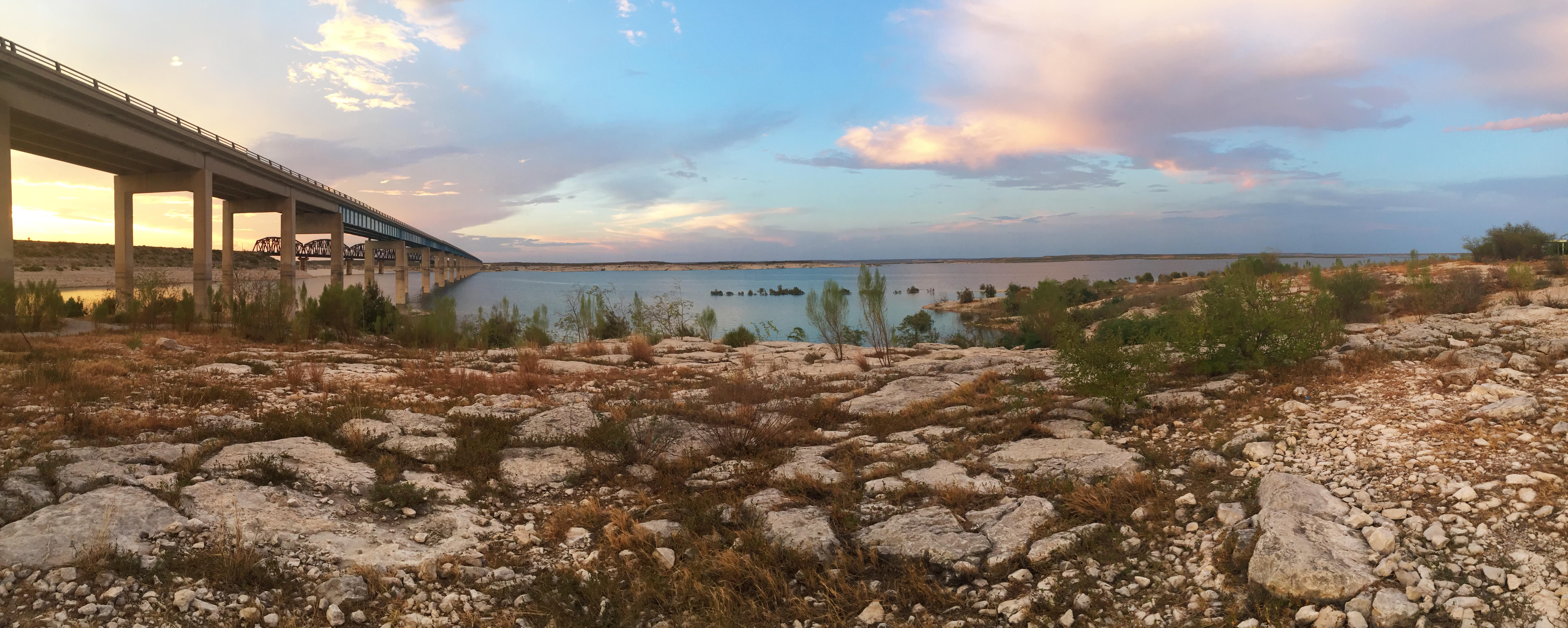
National Recreation Area
An oasis in the desert, Amistad National Recreation Area consists of the US portion of the International Amistad Reservoir. Amistad, a Spanish word meaning "friendship," is known for excellent water-b...
Park data from the National Park Service API. Alerts update every 2 hours.
Expect almost entirely highway driving, with 97% of the route on major roads. The longest continuous stretch without needing to navigate significant turns or exits is 152.8 miles, also on US 277. This means you’ll experience extended periods of rural cruising. Once you do leave the highway, the transition is minimal given the high highway share.
This is a straightforward highway drive that stays mostly on US 277 and I 20. This route has several spots where lane changes, forks, or exits need your full attention. The trickiest moment comes around 0.4 miles in near FM 157 / South Cooper Street.
High effort - long or complex enough to need steady focus all day
Balances navigation complexity with total wheel time.
This is a demanding drive. With 18 significant decision points across 412.4 miles, you will need to stay alert - especially through interchange areas and urban stretches. Consider splitting it into segments if you are not comfortable with fast highway navigation.
Where does it get tricky?
The main spots that need attention: at 0.4 miles (FM 157 / South Cooper Street): Lane positioning matters here; at 2.3 miles: Lane positioning matters here; at 167.4 miles: Exit ramp - move to the correct lane early. Multiple destination signs - pick the right one.
Gently rolling terrain
Total Climb
2,223 ft
Total Descent
1,862 ft
Highest Point
2,310 ft
~294.6 mi in
Elevation Range
1,707 ft
Based on OSRM destination-sign hints, not a full list of every settlement the road passes.
Between Arlington, TX and Del Rio, TX, road signs point toward Ballinger and Anson.
Ballinger
Anson
Founded 1876
Arlington is a city in the Dallas-Fort Worth Metroplex metropolitan area, in the Prairies and Lakes region of Texas. With a population of almost 400,000 (2019), it is Texas' seventh largest, and the third largest in the Metroplex. Arlington is south of the sprawling DFW International Airport.
Top landmarks
City content from Wikivoyage (CC BY-SA 4.0) and Wikidata (CC0).
Weekend Trip
Doable as a same-day drive at 7h 35m. Total distance: 412.4 miles.
Family Friendly
Moderate complexity with 2 natural rest stops along the way.
Solo Traveler
7h 35m drive, plan rest stops for pacing.
Compiled by the US Trip Planner planning team at COD Solutions Oy from open government datasets — OSRM over OpenStreetMap for geometry, EIA for fuel prices, USGS 3DEP for elevation, NPS for national parks, and FHWA TMAS for hourly traffic volumes. See our methodology for refresh cadence and limitations.
Was this helpful?
Thanks for your feedback!
Your tip has been submitted. Thanks!
/500
Recent Tips
·
Explore more options from Arlington, TX or browse trips ending in Del Rio, TX.
Looking for more statewide routes? Browse TX road trips.