This 94.3-mile drive from Spring City, UT to Sandy Hills, UT will take you about 1 hour and 56 minutes. It's a straightforward trip that's perfect for a single day, so you won't need to worry about overnight stays. You'll primarily be on Veterans Memorial Highway and Highway 89, with a portion of the Dinosaur Diamond Prehistoric Highway also included. The estimated fuel cost for this journey is around $15, making it a budget-friendly option. This route offers a mixed drive experience within the Mountain West region of Utah.
Trip Pace
Same-day drive is realistic
A same-day return is realistic if you keep stops short.
Midpoint
47.2 miles from Spring City, UT
A natural place for your longest stop of the day
, about 1h into the drive
.
Main Roads
Road
Distance
Duration
Veterans Memorial Highway
35.5 mi
38m
Highway 89
29.2 mi
35m
Dinosaur Diamond Prehistoric Highway
10.5 mi
12m
South Main
5.1 mi
6m
Main Street
3.6 mi
5m
East US-6
3.6 mi
4m
South State Street
1.7 mi
3m
State Street
1.3 mi
2m
Longest stretch:
Veterans Memorial Highway
— 35.5 mi, about 38m
Turn-by-Turn Driving Directions
Step-by-step road directions between Spring City, UT and Sandy Hills, UT.
Toward I 15 North: Salt Lake CityUse the straight / slight right lanes.
11
Merge onto I 15
36 mi·38 min·Veterans Memorial Highway
Use the straight / slight right lanes.
12
Take the exit
327 ft·4 sec
Exit 293Toward SR 151: 10600 SouthUse the slight right lane.
13
Keep slight right at fork
204 ft·2 sec
Toward Monroe Street North, 10600 South EastUse the slight right lane.
14
Keep slight right at fork
0.1 mi·10 sec
Toward East 10600 SouthUse the slight right lane.
15
Turn right onto 10600 South
0.3 mi·41 sec·10600 South
Use the right lane.
16
Turn left onto US 89
0.8 mi·1 min·State Street
Use the left lane.
17
Turn right onto Sego Lily Drive
1.1 mi·1 min·Sego Lily Drive
18
Turn left onto SR 71
0.5 mi·1 min·700 East
Use the left lane.
19
Turn right onto 9400 South
0.6 mi·1 min·9400 South
20
Continue on SR 209
0.4 mi·50 sec·9400 South
Use the right lane.
21
Turn left onto 1300 East
0.1 mi·20 sec·1300 East
Use the left lane.
22
Turn right onto Silvercrest Drive
516 ft·19 sec·Silvercrest Drive
23
Turn right onto Sandy Hills Drive
485 ft·16 sec·Sandy Hills Drive
24
Arrive at destination
Sandy Hills Drive
Trip Plan
For this 1 hour and 56 minute drive, departing in the morning is ideal to maximize your day. Since the total distance is just under 100 miles and there are no designated stops, you have plenty of flexibility to pull over if you need a break or want to stretch your legs. Keep an eye on your fuel gauge, especially during the 35.5-mile stretch on Veterans Memorial Highway, as services might be spaced out. With a fuel cost estimate of $15, planning for one fill-up should be sufficient for this trip.
Morning Departure
Leave by 9 AM and you'll arrive before lunch.
Evening Departure
Even a 4 PM departure gets you there before dark in summer.
You can normally do this drive in one day.
You may only need one short stretch break if traffic stays light.
The halfway point lands around 47.2 miles from Spring City, UT, or about 1h into the drive.
The longest continuous stretch on this route runs about 35.5 miles.
This is a comfortable same-day trip.
Departure
Before you leave
Start with fuel, water, and navigation already sorted so the first hour feels easy.
First stop
Around 21 miles or 28m in
Use this first pause for coffee, a restroom break, and a quick traffic check ahead.
Halfway reset
Around 47.2 miles or 1h in
This is the best place for your longest stop, a real meal, and a full fuel check.
Final approach
Final hour starts around 1h 34m
Traffic, exits, and arrival timing usually matter more near Sandy Hills, UT than in the middle of the route.
Before You Leave
+
Open the route before leaving Spring City, UT so your first major turns are already loaded.
Day 1
Settle into the route from Spring City, UT
This is one driving day of about 94.3 miles and 1h 56m.
Your first comfortable stop window is around 21 miles from Spring City, UT.
This route can stay practical as a one-day drive if traffic stays reasonable.
The longest stretch is on Veterans Memorial Highway for about 35.5 miles.
Where to Stop
Rest stops, refuel points, and overnight suggestions along this route.
Place data sourced from public business listings. Hours and availability may vary.
Heads-up: tricky spots
5 of 17
5 decision points cluster between mile 40.2 and 90.2 — GPS handles the exact turns, but know they're coming. Your lane choice matters more than the turn itself.
6
40.2 mi into trip|~51m in|US 6; US 89 / Dinosaur Diamond Prehistoric Highway
At end of road, turn left onto US 6; US 89 / Dinosaur Diamond Prehistoric Highway
Lane positioning matters here
Use the left lane.
7
54.3 mi into trip|~1h 9m in
Take the exit toward I 15 North: Salt Lake City
Exit ramp - move to the correct lane early. Lane positioning matters here
Use the straight / slight right lanes.
Toward I 15 North: Salt Lake City
7
90.1 mi into trip|~1h 47m in
Take the exit toward SR 151: 10600 South
Exit ramp - move to the correct lane early. Lane positioning matters here
Use the slight right lane.
Exit 293
Toward SR 151: 10600 South
9
90.1 mi into trip|~1h 47m in
Keep slight right at fork toward Monroe Street North, 10600 South East
Highway fork - watch signs carefully. Lane positioning matters here. Multiple destination signs - pick the right one
Use the slight right lane.
Toward Monroe Street North, 10600 South East
8
90.2 mi into trip|~1h 47m in
Keep slight right at fork toward East 10600 South
Highway fork - watch signs carefully. Lane positioning matters here
Use the slight right lane.
Toward East 10600 South
Fuel & Cost
Regular Gas
$14.94 one way
$29.89 round trip
$4.03/gal25.4 MPG avg33 kg CO2
Fuel Type
$/gal
One Way
Round Trip
midgrade
$4.22
$15.66
$31.33
premium
$4.53
$16.82
$33.64
diesel
$5.61
$20.82
$41.64
No toll roads detected on this route.
Estimated Trip Cost (one way, 1 person)
Fuel
$15
Meals
$25–$50
Total
$40–$65
Rough estimate based on US averages. Hotel $80–$140/night, meals $25–$50/day.
Estimated CO2 emission: 33 kg one way.
Prices: EIA weekly data, 2026-04-13.
Driving Electric?
About $10 in charging
· 0 stops
· 67% less CO2
Vehicle Type
kWh
Stops
DC Fast
Home Charge
Average EV
28.3
0
$9.90
$4.53
Efficient EV
23.6
0
$8.25
$3.77
EV Truck/SUV
37.7
0
$13.20
$6.04
Gas CO2
33 kg
EV CO2
11 kg (67% less)
This trip is well within single-charge range for most EVs. No charging stops needed if you start fully charged.
DC fast charging avg $0.35/kWh. Home charging avg $0.16/kWh. US grid CO2: 0.39 kg/kWh.
Travel Intel
Current conditions at both ends of the drive.
Forecast as of Apr 20, 2026
Origin
Spring City, UT
Late night
in Spring City on Tuesday
Local time
2:10 AM
MDT
Current temp
61°F
Unavailable
Live forecast
Destination
Sandy Hills, UT
Late night
in Sandy Hills on Tuesday
Local time
2:10 AM
MDT
Current temp
41°F
Unavailable
Live forecast
Seasonal Notes
Summer travel usually means heavier construction, hotter rest stops, and busier weekend traffic around major cities.
Winter travel shortens daylight, so a route that looks manageable on paper can feel much longer after dark.
Holiday weekends tend to make both departure and arrival windows slower than the raw route time suggests.
Time zone
Same local time
Origin and destination are on the same clock, so arrival timing is easier to judge at a glance.
Temperature spread
20 degrees cooler at arrival
A meaningful temperature swing is a good cue to rethink layers, water, and how soon you want to arrive.
Road read
1h 56m on the road
Use the two city cards together: check the sky where you start, then compare it with the local time and temperature at arrival.
Weather data from the National Weather Service. Conditions may change; check closer to your travel date.
National Parks Near This Route
Worth a detour if your schedule allows.
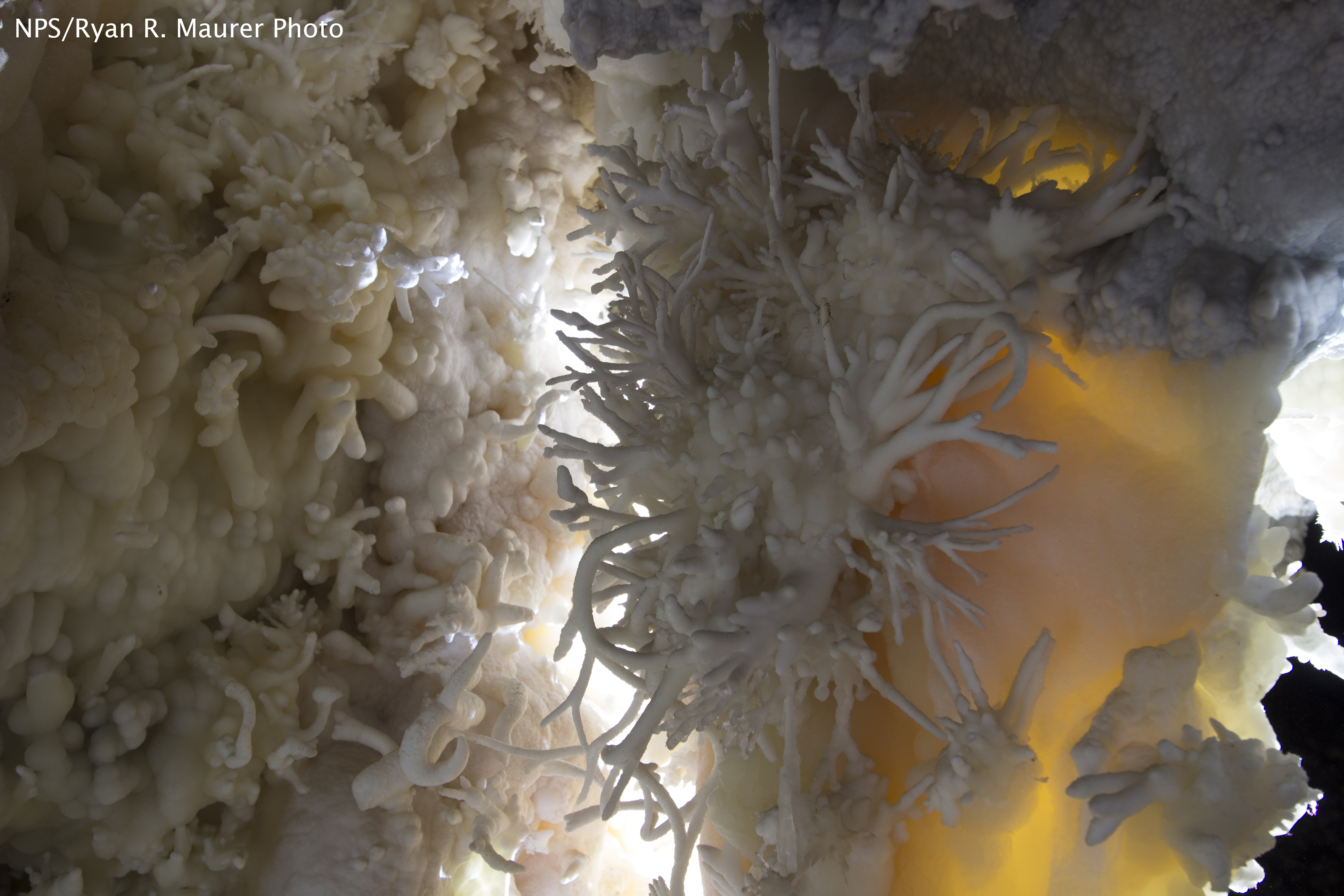
Timpanogos Cave National Monument
National Monument
The visitor center, caves, and cave tours have not yet opened for the 2026 season. Hike your way past stunning vistas to explore a hidden underground world. Taste the thrill of caving as you twist and...
7 mi from route
~18 min detour
$12
near mile 74.8
Caution: Tickets are required to enter Timpanogos Cave
Park data from the National Park Service API. Alerts update every 2 hours.
More Details
What kind of drive is this?
Expect a mixed drive on this route, with 35% of your journey on highways. The longest uninterrupted stretch you'll encounter is 35.5 miles on Veterans Memorial Highway. While much of the drive involves efficient travel, you'll also experience the character of two-lane highways as you navigate through the varied Utah landscape. The transition between these road types contributes to the overall feel of the journey, keeping your time behind the wheel engaging.
35% highway, the rest on surface roads — varied driving throughout.
24 navigation steps total — most of the decisions cluster near the start and finish.
Longest single stretch: 35.5 mi on Veterans Memorial Highway.
How Hard Is This Drive?
8/10
This route mixes highway mileage with some local-road sections near the start or finish. This route has several spots where lane changes, forks, or exits need your full attention. The trickiest moment comes around 40.2 miles in near US 6; US 89 / Dinosaur Diamond Prehistoric Highway.
Driving Effort8/10
Demanding - plan breaks and stay ahead of the key maneuvers
Balances navigation complexity with total wheel time.
This drive requires moderate attention. Across 94.3 miles you will encounter 17 spots where lane choice or exit timing matters. Not difficult for experienced highway drivers, but worth previewing the tricky sections before you go.
Where does it get tricky?
The main spots that need attention: at 40.2 miles (US 6; US 89 / Dinosaur Diamond Prehistoric Highway): Lane positioning matters here; at 54.3 miles: Exit ramp - move to the correct lane early. Lane positioning matters here; at 90.1 miles: Exit ramp - move to the correct lane early. Lane positioning matters here.
Elevation Profile
High-altitude sections with notable climbs
6,112 ft4,432 ft
Total Climb
779 ft
Total Descent
1,841 ft
Highest Point
6,112 ft
~13.5 mi in
Elevation Range
1,680 ft
Notable High Points
6,112 ft at ~13.5 miles+43 ft prominence
4,599 ft at ~67.4 miles+24 ft prominence
4,645 ft at ~80.9 miles+70 ft prominence
Who Is This Route For?
Weekend Trip
Doable as a same-day drive at 1h 56m. Total distance: 94.3 miles.
Family Friendly
Moderate complexity with 0 natural rest stops along the way.
Solo Traveler
1h 56m drive, comfortable solo distance.
First-Time Driver
Mostly highway driving (35%). Some complex stretches to watch for.
Scenic Drive
Mixed highway & surface route profile with national parks nearby.
Frequently Asked Questions
The longest stretch is about 35.5 miles on Veterans Memorial Highway. The full list of main roads is in the Roads section above.
It helps. This route has a higher-than-average number of complex decision points, which get harder in the dark. If the last hour of the trip is on surface roads or mountain grades, aim to arrive at Sandy Hills, UT before sunset when you can. Check the Trip Plan for departure windows that land you in daylight.
Yes. At under 2 hours behind the wheel, this works well for families — plan one quick stop if you have younger kids.
The main spots that need attention: at 40.2 miles (US 6; US 89 / Dinosaur Diamond Prehistoric Highway): Lane positioning matters here; at 54.3 miles: Exit ramp - move to the correct lane early. Lane positioning matters here; at 90.1 miles: Exit ramp - move to the correct lane early. Lane positioning matters here.
Yes — Timpanogos Cave National Monument. See the National Parks section for detour distances and tips on detours.
Yes. A round trip is manageable in a single day if you plan a break at Sandy Hills, UT before heading back.