Embarking from Spring City, UT, to West Jordan, UT, this 95.9-mile journey takes approximately 1 hour and 57 minutes, making it a perfect day trip. You'll primarily navigate Veterans Memorial Highway and Highway 89, with a portion of the Dinosaur Diamond Prehistoric Highway contributing to the experience. The estimated fuel cost for this drive is around $15. This route offers a mixed drive experience within the Mountain West region, ideal for a single day's adventure. With no required overnight stops, you have the flexibility to depart at your convenience and enjoy the scenery without feeling rushed.
Trip Pace
Same-day drive is realistic
A same-day return is realistic if you keep stops short.
Midpoint
48 miles from Spring City, UT
A natural place for your longest stop of the day
, about 1h 1m into the drive
.
Main Roads
Road
Distance
Duration
Veterans Memorial Highway
37.4 mi
40m
Highway 89
29.2 mi
35m
Dinosaur Diamond Prehistoric Highway
10.5 mi
12m
South Main
5.1 mi
6m
Main Street
3.6 mi
5m
East US-6
3.6 mi
4m
9000 South
2 mi
3m
South State Street
1.7 mi
3m
Longest stretch:
Veterans Memorial Highway
— 37.4 mi, about 40m
Turn-by-Turn Driving Directions
Step-by-step road directions between Spring City, UT and West Jordan, UT.
Toward I 15 North: Salt Lake CityUse the straight / slight right lanes.
11
Merge onto I 15
37 mi·40 min·Veterans Memorial Highway
Use the straight / slight right lanes.
12
Take the exit
0.3 mi·39 sec
Exit 295Toward SR 209: 9000 SouthUse the straight / slight right lanes.
13
Keep slight left at fork
507 ft·14 sec
Toward SR 209: 9000 South, West Jordan
14
Turn slight left onto SR 209
2.0 mi·3 min·9000 South
15
Turn right onto SR 68
1.5 mi·2 min·Redwood Road
Use the straight / right lanes.
16
Turn left onto SR 48
86 ft·1 sec·7800 South
Use the left lane.
17
Arrive at destination
SR 48
Trip Plan
For this 1 hour and 57-minute drive, departing in the morning allows you to reach West Jordan with ample time for your day's activities. With only 95.9 miles to cover, there's no need to split the trip, giving you flexibility with your schedule. Consider a brief stop around the halfway point if you need to stretch your legs or refuel, though the estimated $15 fuel cost suggests you likely won't need to fill up completely. Keep an eye out for the transition onto the Dinosaur Diamond Prehistoric Highway for a unique segment of your journey.
Morning Departure
Leave by 9 AM and you'll arrive before lunch.
Evening Departure
Even a 4 PM departure gets you there before dark in summer.
You can normally do this drive in one day.
You may only need one short stretch break if traffic stays light.
The halfway point lands around 48 miles from Spring City, UT, or about 1h 1m into the drive.
The longest continuous stretch on this route runs about 37.4 miles.
This is a comfortable same-day trip.
Departure
Before you leave
Start with fuel, water, and navigation already sorted so the first hour feels easy.
First stop
Around 21 miles or 28m in
Use this first pause for coffee, a restroom break, and a quick traffic check ahead.
Halfway reset
Around 48 miles or 1h 1m in
This is the best place for your longest stop, a real meal, and a full fuel check.
Final approach
Final hour starts around 1h 35m
Traffic, exits, and arrival timing usually matter more near West Jordan, UT than in the middle of the route.
Before You Leave
+
Open the route before leaving Spring City, UT so your first major turns are already loaded.
Day 1
Settle into the route from Spring City, UT
This is one driving day of about 95.9 miles and 1h 57m.
Your first comfortable stop window is around 21 miles from Spring City, UT.
This route can stay practical as a one-day drive if traffic stays reasonable.
The longest stretch is on Veterans Memorial Highway for about 37.4 miles.
Where to Stop
Rest stops, refuel points, and overnight suggestions along this route.
Place data sourced from public business listings. Hours and availability may vary.
Heads-up: tricky spots
5 of 9
5 decision points cluster between mile 40.2 and 94.4 — GPS handles the exact turns, but know they're coming. Your lane choice matters more than the turn itself.
6
40.2 mi into trip|~51m in|US 6; US 89 / Dinosaur Diamond Prehistoric Highway
At end of road, turn left onto US 6; US 89 / Dinosaur Diamond Prehistoric Highway
Lane positioning matters here
Use the left lane.
7
54.3 mi into trip|~1h 9m in
Take the exit toward I 15 North: Salt Lake City
Exit ramp - move to the correct lane early. Lane positioning matters here
Use the straight / slight right lanes.
Toward I 15 North: Salt Lake City
7
92 mi into trip|~1h 49m in
Take the exit toward SR 209: 9000 South
Exit ramp - move to the correct lane early. Lane positioning matters here
Use the straight / slight right lanes.
Exit 295
Toward SR 209: 9000 South
7
92.3 mi into trip|~1h 50m in
Keep slight left at fork toward SR 209: 9000 South, West Jordan
Highway fork - watch signs carefully. Multiple destination signs - pick the right one
Toward SR 209: 9000 South, West Jordan
6
94.4 mi into trip|~1h 54m in|SR 68 / Redwood Road
Turn right onto SR 68 / Redwood Road
Lane positioning matters here
Use the straight / right lanes.
Fuel & Cost
Regular Gas
$15.20 one way
$30.39 round trip
$4.03/gal25.4 MPG avg34 kg CO2
Fuel Type
$/gal
One Way
Round Trip
midgrade
$4.22
$15.93
$31.86
premium
$4.53
$17.11
$34.21
diesel
$5.61
$21.17
$42.35
No toll roads detected on this route.
Estimated Trip Cost (one way, 1 person)
Fuel
$15
Meals
$25–$50
Total
$40–$65
Rough estimate based on US averages. Hotel $80–$140/night, meals $25–$50/day.
Estimated CO2 emission: 33.6 kg one way.
Prices: EIA weekly data, 2026-04-13.
Driving Electric?
About $10 in charging
· 0 stops
· 68% less CO2
Vehicle Type
kWh
Stops
DC Fast
Home Charge
Average EV
28.8
0
$10.07
$4.60
Efficient EV
24
0
$8.39
$3.84
EV Truck/SUV
38.4
0
$13.43
$6.14
Gas CO2
34 kg
EV CO2
11 kg (68% less)
This trip is well within single-charge range for most EVs. No charging stops needed if you start fully charged.
DC fast charging avg $0.35/kWh. Home charging avg $0.16/kWh. US grid CO2: 0.39 kg/kWh.
Travel Intel
Current conditions at both ends of the drive.
Forecast as of Apr 15, 2026
Origin
Spring City, UT
Night
in Spring City on Saturday
Local time
10:37 PM
MDT
Current temp
70°F
Unavailable
Live forecast
Destination
West Jordan, UT
Night
in West Jordan on Saturday
Local time
10:37 PM
MDT
Current temp
48°F
Unavailable
Live forecast
Seasonal Notes
Summer travel usually means heavier construction, hotter rest stops, and busier weekend traffic around major cities.
Winter travel shortens daylight, so a route that looks manageable on paper can feel much longer after dark.
Holiday weekends tend to make both departure and arrival windows slower than the raw route time suggests.
Time zone
Same local time
Origin and destination are on the same clock, so arrival timing is easier to judge at a glance.
Temperature spread
22 degrees cooler at arrival
A meaningful temperature swing is a good cue to rethink layers, water, and how soon you want to arrive.
Road read
1h 57m on the road
Use the two city cards together: check the sky where you start, then compare it with the local time and temperature at arrival.
Weather data from the National Weather Service. Conditions may change; check closer to your travel date.
National Parks Near This Route
Worth a detour if your schedule allows.
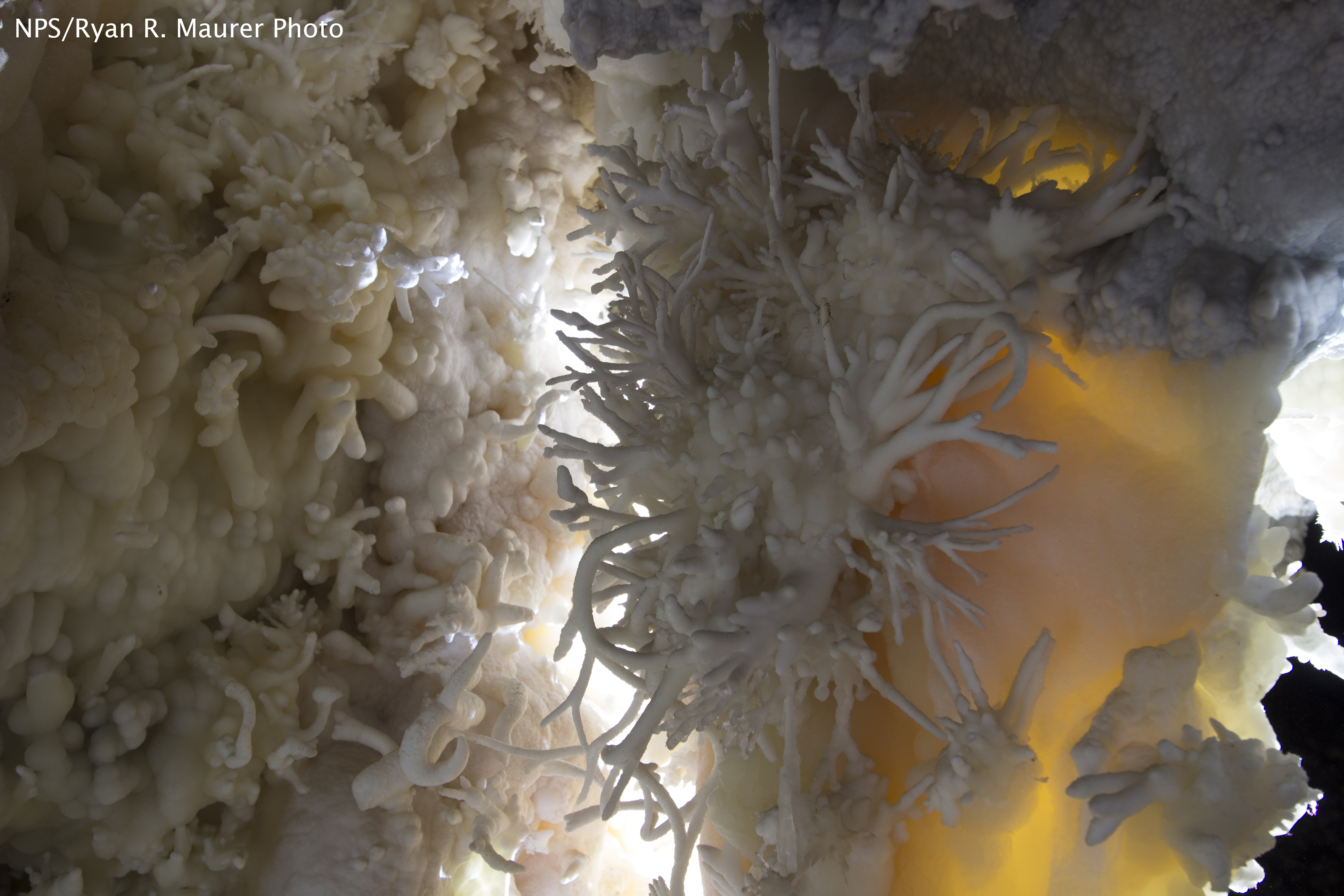
Timpanogos Cave National Monument
National Monument
The visitor center, caves, and cave tours have not yet opened for the 2026 season. Hike your way past stunning vistas to explore a hidden underground world. Taste the thrill of caving as you twist and...
7 mi from route
~17 min detour
$12
near mile 72.8
Caution: Tickets are required to enter Timpanogos Cave
Park data from the National Park Service API. Alerts update every 2 hours.
More Details
What kind of drive is this?
This drive presents a mixed profile, with about 34% of the total distance on highways. You'll experience a longest stretch of 37.4 miles on Veterans Memorial Highway, offering a good segment of consistent driving. As you transition through Highway 89 and the Dinosaur Diamond Prehistoric Highway, expect the road's character to evolve. It's not a monotonous interstate grind but rather a blend of highway speeds and potentially more varied local road conditions, keeping your time behind the wheel engaging.
34% highway, the rest on surface roads — varied driving throughout.
17 navigation steps total — most of the decisions cluster near the start and finish.
Longest single stretch: 37.4 mi on Veterans Memorial Highway.
How Hard Is This Drive?
7/10
This route mixes highway mileage with some local-road sections near the start or finish. This route has several spots where lane changes, forks, or exits need your full attention. The trickiest moment comes around 40.2 miles in near US 6; US 89 / Dinosaur Diamond Prehistoric Highway.
Driving Effort7/10
Demanding - plan breaks and stay ahead of the key maneuvers
Balances navigation complexity with total wheel time.
This drive requires moderate attention. Across 95.9 miles you will encounter 9 spots where lane choice or exit timing matters. Not difficult for experienced highway drivers, but worth previewing the tricky sections before you go.
Where does it get tricky?
The main spots that need attention: at 40.2 miles (US 6; US 89 / Dinosaur Diamond Prehistoric Highway): Lane positioning matters here; at 54.3 miles: Exit ramp - move to the correct lane early. Lane positioning matters here; at 92 miles: Exit ramp - move to the correct lane early. Lane positioning matters here.
Who Is This Route For?
Weekend Trip
Doable as a same-day drive at 1h 57m. Total distance: 95.9 miles.
Family Friendly
Moderate complexity with 0 natural rest stops along the way.
Solo Traveler
1h 57m drive, comfortable solo distance.
First-Time Driver
Mostly highway driving (34%). Some complex stretches to watch for.
Scenic Drive
Mixed highway & surface route profile with national parks nearby.
Frequently Asked Questions
The longest stretch is about 37.4 miles on Veterans Memorial Highway. The full list of main roads is in the Roads section above.
It helps. This route has a higher-than-average number of complex decision points, which get harder in the dark. If the last hour of the trip is on surface roads or mountain grades, aim to arrive at West Jordan, UT before sunset when you can. Check the Trip Plan for departure windows that land you in daylight.
Yes. At under 2 hours behind the wheel, this works well for families — plan one quick stop if you have younger kids.
The main spots that need attention: at 40.2 miles (US 6; US 89 / Dinosaur Diamond Prehistoric Highway): Lane positioning matters here; at 54.3 miles: Exit ramp - move to the correct lane early. Lane positioning matters here; at 92 miles: Exit ramp - move to the correct lane early. Lane positioning matters here.
Yes — Timpanogos Cave National Monument. See the National Parks section for detour distances and tips on detours.
Yes. A round trip is manageable in a single day if you plan a break at West Jordan, UT before heading back.