If you are planning to travel from Hartland to Milton, expect a straightforward journey covering 108.5 miles. This highway-focused drive typically takes about 2 hours and 18 minutes to complete, making it a perfect candidate for a single-day trip. You will rely primarily on I-91, I-89, and Vermont Route 289 to navigate through the Northeast region of Vermont. Budgeting around $17 for fuel should cover your transit costs comfortably. Because the route is relatively short and efficient, you won't need to worry about booking overnight stays or managing complex travel logistics. It is a practical, no-nonsense connection that gets you from the southern part of the state to the north with minimal fuss.
Trip Pace
Same-day drive is realistic
A same-day return is realistic if you keep stops short.
Midpoint
54.2 miles from Hartland, VT
A natural place for your longest stop of the day
, about 1h 3m into the drive
.
Main Roads
Road
Distance
Duration
I 89
77.6 mi
1h 29m
I 91
9.2 mi
10m
Vermont Route 289
4.5 mi
6m
Middle Road
3 mi
6m
East Road
3 mi
5m
River Road
2.9 mi
4m
Vermont Route 117
2.8 mi
4m
Main Street
1.6 mi
3m
Longest stretch:
I 89
— 77.6 mi, about 1h 29m
Turn-by-Turn Driving Directions
Step-by-step road directions between Hartland, VT and Milton, VT.
1
Start on US 5; VT 12
1.1 mi·1 min·U.S. Route 5
2
Take the ramp
0.2 mi·23 sec
Toward I 91 North
3
Merge onto I 91
9.2 mi·10 min·I 91
4
Take the exit
0.2 mi·30 sec
Toward I 89 North
5
Merge onto I 89
78 mi·1 hr 29 min·I 89
6
Take the exit
0.4 mi·49 sec
Exit 11Toward US 2: Richmond, Williston
7
Turn right onto US 2
187 ft·6 sec·West Main Street
8
Turn right onto VT 117
0.8 mi·1 min·River Road
9
Continue on VT 117
2.8 mi·4 min·Vermont Route 117
10
Continue on VT 117
2.0 mi·3 min·River Road
11
Turn right onto VT 289
4.5 mi·6 min·Vermont Route 289
Toward VT 289 West
12
At end of road, turn right onto VT 2A
0.8 mi·1 min·Colchester Road
Use the right lane.
13
Continue on VT 2A
1.5 mi·2 min·Main Street
14
Turn right onto East Road
3.0 mi·5 min·East Road
15
Continue on Middle Road
3.0 mi·6 min·Middle Road
16
Continue on River Street
1.2 mi·3 min·River Street
17
Turn right onto Main Street
0.1 mi·21 sec·Main Street
18
Arrive at destination
Main Street
Trip Plan
Since this is a manageable 2-hour and 18-minute drive, you have plenty of flexibility regarding your departure time. You can easily complete the entire 108.5-mile distance without needing to plan for formal stops, though keeping the $17 fuel estimate in mind is wise for your budget. Try to time your departure to avoid peak traffic hours on the major interstates to ensure you maintain a consistent pace. Because this route lacks mandatory stops, you have the advantage of driving straight through if you prefer to reach Milton quickly. A helpful tip for this specific drive is to keep an eye on your fuel gauge before you merge onto the long 77.6-mile stretch of I-89, as you will want to stay focused on the road once you are locked into the interstate flow.
Morning Departure
Leave by 9 AM and you'll arrive before lunch.
Evening Departure
Even a 4 PM departure gets you there before dark in summer.
You can normally do this drive in one day.
You may only need one short stretch break if traffic stays light.
The halfway point lands around 54.2 miles from Hartland, VT, or about 1h 3m into the drive.
The longest continuous stretch on this route runs about 77.6 miles.
This is a comfortable same-day trip.
Departure
Before you leave
Start with fuel, water, and navigation already sorted so the first hour feels easy.
First stop
Around 24 miles or 28m in
Use this first pause for coffee, a restroom break, and a quick traffic check ahead.
Halfway reset
Around 54.2 miles or 1h 3m in
This is the best place for your longest stop, a real meal, and a full fuel check.
Final approach
Final hour starts around 1h 44m
Traffic, exits, and arrival timing usually matter more near Milton, VT than in the middle of the route.
Before You Leave
+
Open the route before leaving Hartland, VT so your first major turns are already loaded.
+
Leave with enough water and a charging cable within reach, not packed away.
+
Check your fuel range against the first long segment, especially if you are starting outside city service areas.
Day 1
Settle into the route from Hartland, VT
This is one driving day of about 108.5 miles and 2h 18m.
Your first comfortable stop window is around 24 miles from Hartland, VT.
This route can stay practical as a one-day drive if traffic stays reasonable.
The longest stretch is on I 89 for about 77.6 miles.
Where to Stop
Rest stops, refuel points, and overnight suggestions along this route.
Place data sourced from public business listings. Hours and availability may vary.
Heads-up: tricky spots
5 of 11
5 decision points cluster between mile 1.1 and 101.2 — GPS handles the exact turns, but know they're coming. Your lane choice matters more than the turn itself.
4
1.1 mi into trip|~1m in
Take the ramp toward I 91 North
Navigation decision point
Toward I 91 North
4
10.5 mi into trip|~12m in
Take the exit toward I 89 North
Exit ramp - move to the correct lane early
Toward I 89 North
6
88.4 mi into trip|~1h 42m in
Take the exit toward US 2: Richmond, Williston
Exit ramp - move to the correct lane early. Multiple destination signs - pick the right one
Exit 11
Toward US 2: Richmond, Williston
7
98.9 mi into trip|~1h 59m in|VT 2A / Colchester Road
At end of road, turn right onto VT 2A / Colchester Road
Lane positioning matters here
Use the right lane.
4
101.2 mi into trip|~2h 3m in|East Road
Turn right onto East Road
Navigation decision point
Fuel & Cost
Regular Gas
$17.47 one way
$34.93 round trip
$4.09/gal25.4 MPG avg38 kg CO2
Fuel Type
$/gal
One Way
Round Trip
midgrade
$4.50
$19.22
$38.44
premium
$4.86
$20.78
$41.55
diesel
$5.61
$23.96
$47.91
No toll roads detected on this route.
Estimated Trip Cost (one way, 1 person)
Fuel
$17
Meals
$25–$50
Total
$42–$67
Rough estimate based on US averages. Hotel $80–$140/night, meals $25–$50/day.
Estimated CO2 emission: 38 kg one way.
Prices: EIA weekly data, 2026-04-13.
Driving Electric?
About $11 in charging
· 0 stops
· 66% less CO2
Vehicle Type
kWh
Stops
DC Fast
Home Charge
Average EV
32.6
0
$11.39
$5.21
Efficient EV
27.1
0
$9.49
$4.34
EV Truck/SUV
43.4
0
$15.19
$6.94
Gas CO2
38 kg
EV CO2
13 kg (66% less)
This trip is well within single-charge range for most EVs. No charging stops needed if you start fully charged.
DC fast charging avg $0.35/kWh. Home charging avg $0.16/kWh. US grid CO2: 0.39 kg/kWh.
Travel Intel
Current conditions at both ends of the drive.
Forecast as of Apr 20, 2026
Origin
Hartland, VT
Morning
in Hartland on Tuesday
Local time
9:16 AM
EDT
Current temp
40°F
Unavailable
Live forecast
Destination
Milton, VT
Morning
in Milton on Tuesday
Local time
9:16 AM
EDT
Current temp
60°F
Unavailable
Live forecast
60°F
Duxbury, VT
54 mi in
Seasonal Notes
Summer travel usually means heavier construction, hotter rest stops, and busier weekend traffic around major cities.
Winter travel shortens daylight, so a route that looks manageable on paper can feel much longer after dark.
Holiday weekends tend to make both departure and arrival windows slower than the raw route time suggests.
Time zone
Same local time
Origin and destination are on the same clock, so arrival timing is easier to judge at a glance.
Temperature spread
20 degrees warmer at arrival
A meaningful temperature swing is a good cue to rethink layers, water, and how soon you want to arrive.
Road read
2h 18m on the road
Use the two city cards together: check the sky where you start, then compare it with the local time and temperature at arrival.
Weather data from the National Weather Service. Conditions may change; check closer to your travel date.
National Parks Near This Route
Worth a detour if your schedule allows.
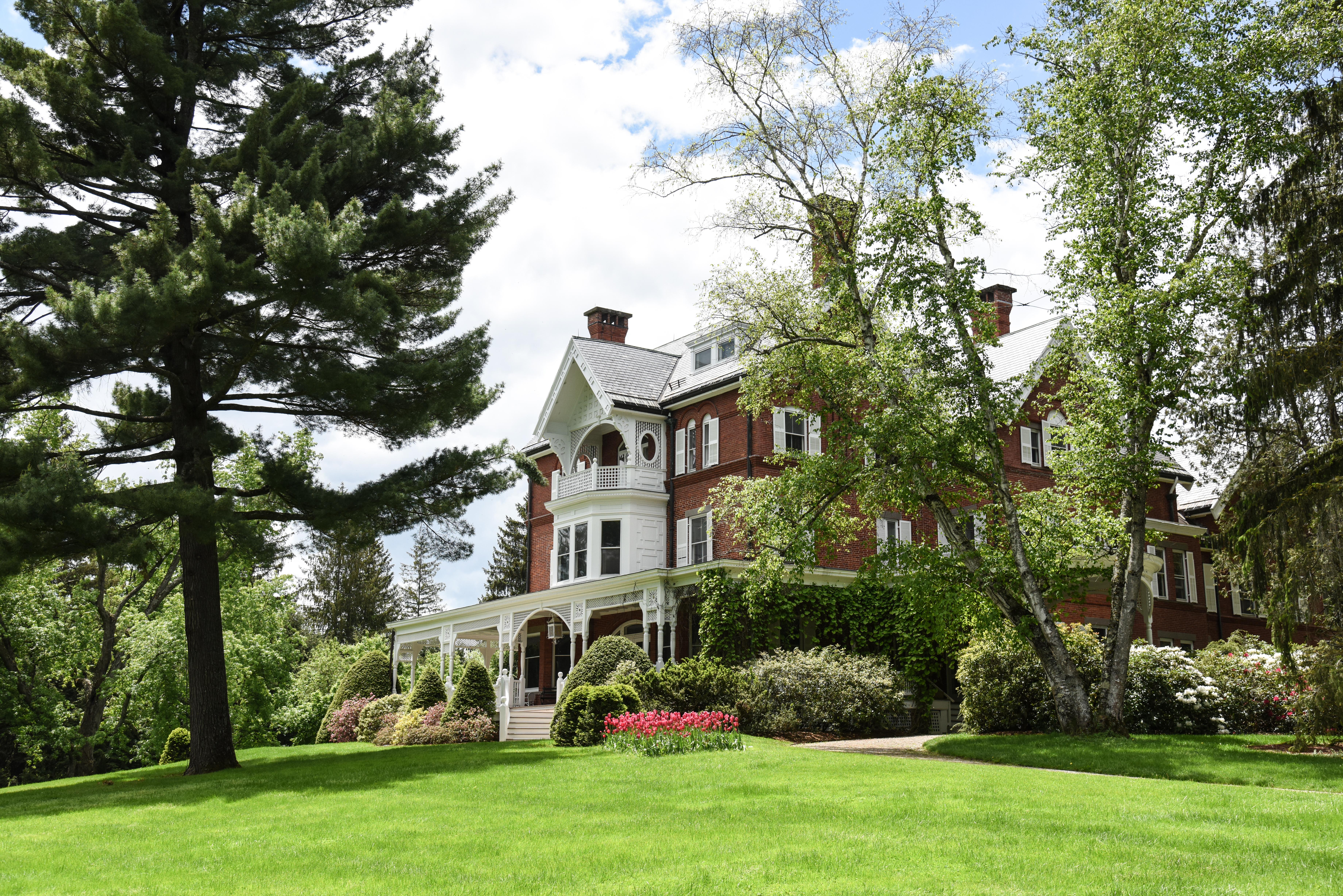
Marsh - Billings - Rockefeller National Historical Park
National Historical Park
Walk through one of Vermont's most beautiful landscapes under the shade of the Mount Tom Forest, the oldest continuously managed scientific forest in the United States. This is a landscape of loss, re...
Park data from the National Park Service API. Alerts update every 2 hours.
More Details
What kind of drive is this?
Expect a trip dominated by interstate travel, as 88% of this 108.5-mile route consists of highway driving. You will spend the bulk of your time on I-89, which features a long, uninterrupted stretch of 77.6 miles that allows for steady cruising. While the journey begins with transitions between I-91 and I-89, the experience is largely consistent and focused on speed and efficiency. As you approach the final leg of the trip, you will shift onto Vermont Route 289 to reach your destination. You won't encounter significant technical driving challenges, as the road is designed for connectivity rather than winding backroads.
88% highway — fuel and pacing are the main things to plan.
18 navigation steps total — most of the decisions cluster near the start and finish.
Longest single stretch: 77.6 mi on I 89.
How Hard Is This Drive?
3/10
This is a straightforward highway drive that stays mostly on I 89 and I 91. There are only a few real navigation decisions along the way. The trickiest moment comes around 1.1 miles in.
Driving Effort3/10
Easy - simple navigation with a manageable amount of wheel time
Balances navigation complexity with total wheel time.
This is a straightforward 2h 18m drive. You will face about 11 decision points, but nothing that requires special attention if you follow navigation.
Where does it get tricky?
The main spots that need attention: at 1.1 miles: Navigation decision point; at 10.5 miles: Exit ramp - move to the correct lane early; at 88.4 miles: Exit ramp - move to the correct lane early. Multiple destination signs - pick the right one.
Towns Mentioned on Route Signs
Based on OSRM destination-sign hints, not a full list of every settlement the road passes.
On the drive from Hartland, VT to Milton, VT, road signs begin pointing toward Williston along the way.
Williston
88.4 mi in|~1h 42m
Who Is This Route For?
Weekend Trip
Doable as a same-day drive at 2h 18m. Total distance: 108.5 miles.
Family Friendly
Moderate complexity with 0 natural rest stops along the way.
The longest stretch is about 77.6 miles on I 89. The full list of main roads is in the Roads section above.
Yes, with realistic expectations. Build in a stop roughly every 2 hours, have snacks and activities ready, and check the Nearby Places tabs for kid-friendly stops along the way.
Mostly yes along the main roads, but rural stretches through VT can have sparse or no coverage. Before you leave, download offline Google Maps or Apple Maps for the route, and consider downloading music or podcasts instead of streaming. If you depend on data for navigation, keep a paper backup of the turn-by-turn directions.
The main spots that need attention: at 1.1 miles: Navigation decision point; at 10.5 miles: Exit ramp - move to the correct lane early; at 88.4 miles: Exit ramp - move to the correct lane early. Multiple destination signs - pick the right one.
Yes — Marsh - Billings - Rockefeller National Historical Park. See the National Parks section for detour distances and tips on detours.
Yes. A round trip is manageable in a single day if you plan a break at Milton, VT before heading back.