Origin
Lancaster, SC
Late night in Lancaster on Tuesday
Local time
4:51 AM
EDT
Current temp
83°F
Unavailable
Live forecast
Compiled and reviewed by the US Trip Planner planning team at COD Solutions Oy · Last reviewed Apr 21, 2026 · Editorial standards
Drive Time
2h 27m
Distance
111.6 mi
180 km
Drive Score
9/10
Great drive
Same Day?
Yes, doable
Fuel Cost
$17
one way
EV Charging
Unknown
Estimated drive times based on typical traffic patterns. Actual times may vary with weather, construction, and real-time conditions.

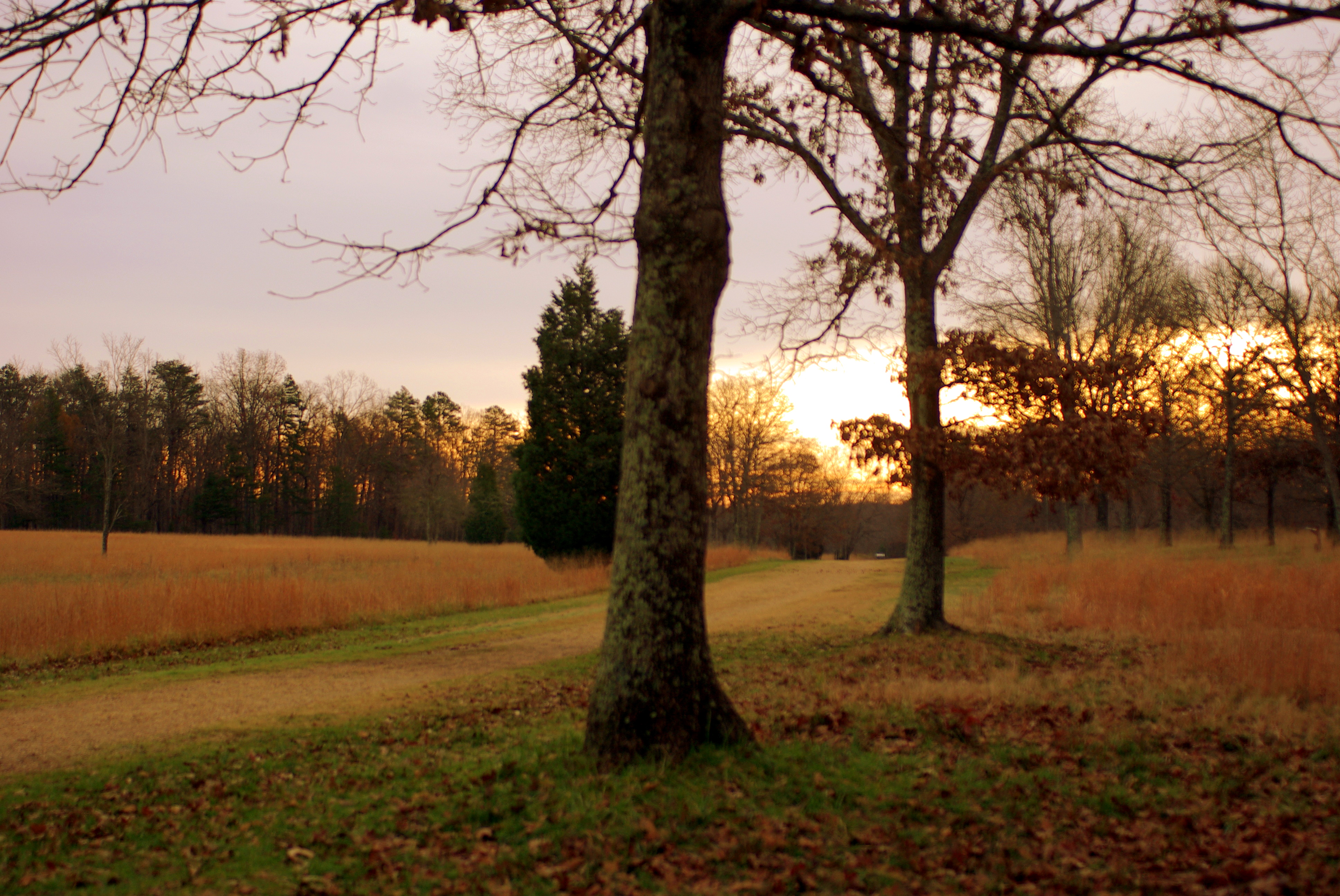
Lancaster, SC
Wikimedia Commons
Embarking on a journey from Lancaster, SC, to Greenville, SC, covers 111.6 miles and will take approximately 2 hours and 27 minutes. This drive is easily manageable as a single-day trip, with a projected fuel cost of around $18. You'll primarily navigate Veterans Parkway and Lancaster Highway, eventually merging onto US 321. Given that both your origin and destination are within the Southeast region, expect a consistent regional feel throughout. This route offers a straightforward, no-fuss passage between these two South Carolina cities, making it a practical choice for efficient travel.
Trip Pace
Same-day drive is realistic
A same-day return is realistic if you keep stops short.
Midpoint
55.8 miles from Lancaster, SC
A natural place for your longest stop of the day , about 1h 9m into the drive .
| Road | Distance | Duration |
|---|---|---|
| Veterans Parkway | 21.5 mi | 27m |
| Lancaster Highway | 19.9 mi | 25m |
| US 321 | 14.6 mi | 16m |
| Jonesville Lockhart Highway | 13.8 mi | 16m |
| South Pine Street | 12.1 mi | 20m |
| I 385 | 5.5 mi | 7m |
| Furman L Fendley Highway | 5.3 mi | 7m |
| Chester Highway | 4 mi | 4m |
Step-by-step road directions between Lancaster, SC and Greenville, SC.
Start on South Main Street
Continue on US 521
Take the exit
Merge onto SC 9
Continue on SC 9
Keep slight left at fork onto SC 9
Turn left onto SC 9; SC 72; SC 121; SC 97
Continue on US 321; SC 9
Continue on SC 9; SC 49
Continue on SC 9, SC 49
Merge onto SC 9; SC 18
Continue on SC 9; SC 18
Turn left onto S-44-12
Turn right onto US 176
Continue on US 176
Continue on US 176
Take the exit
Merge onto I 85 Bus
Take the exit
Keep slight left at fork
Keep slight right at fork
Merge onto I 385
Continue on East North Street
Continue on SC 183
Turn right onto US 29
Arrive at destination
For this roughly 2.5-hour drive, departing in the mid-morning after initial rush hour should provide a smooth start. Since there are no designated stops in the data, plan for a brief break around the halfway point, perhaps around the transition to US 321, to stretch your legs. Keep an eye on your fuel level, as the estimated cost is $18, and gas stations might be more spaced out on certain highway portions. The flexibility of this one-day trip means you can depart at your convenience, but a specific tip is to be aware of potential slowdowns when Veterans Parkway merges with other local roads, so keep your focus sharp during those transitions.
Morning Departure
Leave by 9 AM and you'll arrive before lunch.
Evening Departure
Even a 4 PM departure gets you there before dark in summer.
This is a comfortable same-day trip.
Departure
Before you leave
Start with fuel, water, and navigation already sorted so the first hour feels easy.
First stop
Around 25 miles or 33m in
Use this first pause for coffee, a restroom break, and a quick traffic check ahead.
Halfway reset
Around 55.8 miles or 1h 9m in
This is the best place for your longest stop, a real meal, and a full fuel check.
Final approach
Final hour starts around 2h
Traffic, exits, and arrival timing usually matter more near Greenville, SC than in the middle of the route.
Open the route before leaving Lancaster, SC so your first major turns are already loaded.
Leave with enough water and a charging cable within reach, not packed away.
Check your fuel range against the first long segment, especially if you are starting outside city service areas.
Day 1
Settle into the route from Lancaster, SC
This is one driving day of about 111.6 miles and 2h 27m.
Rest stops, refuel points, and overnight suggestions along this route.

Mid-route town
Meal stop
56 mi into the route
Best for: Lunch, fuel, and a longer reset
This sits close to the middle of the route, so it works well for the longest stop of the day.
A short stop after about 25 miles helps settle the day before fatigue starts building.
The midpoint is around 55.8 miles from Lancaster, SC, which is a good place for a longer meal and fuel stop.
These stop ideas are pacing suggestions — the exact town or exit can change with traffic, hotel plans, and fuel range.
5 decision points cluster between mile 1.2 and 105.2 — GPS handles the exact turns, but know they're coming. Your lane choice matters more than the turn itself.
Take the exit
Exit ramp - move to the correct lane early
Keep slight left at fork onto SC 9 / Lancaster Highway
Highway fork - watch signs carefully. Lane positioning matters here
Take the exit toward I 385, SC 146: Columbia, Greenville, Woodruff Road
Exit ramp - move to the correct lane early. Lane positioning matters here. Multiple destination signs - pick the right one
Keep slight left at fork toward I 385 North, SC 146: Greenville, Woodruff Road
Highway fork - watch signs carefully. Lane positioning matters here. Multiple destination signs - pick the right one
Keep slight right at fork toward I 385 North: Greenville
Highway fork - watch signs carefully. Lane positioning matters here
Regular Gas
$17.45 one way
$34.90 round trip
| Fuel Type | $/gal | One Way | Round Trip |
|---|---|---|---|
| midgrade | $4.34 | $19.08 | $38.16 |
| premium | $4.70 | $20.65 | $41.31 |
| diesel | $5.61 | $24.64 | $49.28 |
No toll roads detected on this route.
Estimated Trip Cost (one way, 1 person)
Fuel
$17
Meals
$25–$50
Total
$42–$67
Rough estimate based on US averages. Hotel $80–$140/night, meals $25–$50/day.
Estimated CO2 emission: 39 kg one way. Prices: EIA weekly data, 2026-04-13.
Driving Electric?
About $12 in charging · 0 stops · 67% less CO2
| Vehicle Type | kWh | Stops | DC Fast | Home Charge |
|---|---|---|---|---|
| Average EV | 33.5 | 0 | $11.72 | $5.36 |
| Efficient EV | 27.9 | 0 | $9.76 | $4.46 |
| EV Truck/SUV | 44.6 | 0 | $15.62 | $7.14 |
Gas CO2
39 kg
EV CO2
13 kg (67% less)
This trip is well within single-charge range for most EVs. No charging stops needed if you start fully charged.
DC fast charging avg $0.35/kWh. Home charging avg $0.16/kWh. US grid CO2: 0.39 kg/kWh.
Current conditions at both ends of the drive.
Origin
Late night in Lancaster on Tuesday
Local time
4:51 AM
EDT
Current temp
83°F
Unavailable
Destination
Late night in Greenville on Tuesday
Local time
4:51 AM
EDT
Current temp
80°F
Unavailable
82°F
Union, SC
56 mi in
Seasonal Notes
Summer travel usually means heavier construction, hotter rest stops, and busier weekend traffic around major cities.
Winter travel shortens daylight, so a route that looks manageable on paper can feel much longer after dark.
Holiday weekends tend to make both departure and arrival windows slower than the raw route time suggests.
Time zone
Origin and destination are on the same clock, so arrival timing is easier to judge at a glance.
Temperature spread
A meaningful temperature swing is a good cue to rethink layers, water, and how soon you want to arrive.
Road read
Use the two city cards together: check the sky where you start, then compare it with the local time and temperature at arrival.
Weather data from the National Weather Service. Conditions may change; check closer to your travel date.
Worth a detour if your schedule allows.
National Battlefield
A pasturing area at the time of the battle, this Revolutionary War site commemorates the place where Daniel Morgan and his army turned the flanks of Banastre Tarleton's British army. This classic mili...
Park data from the National Park Service API. Alerts update every 2 hours.
This drive presents a mixed bag of road types, with about 40% of the journey on higher-speed highway sections. You'll encounter a longest continuous stretch of 21.5 miles on Veterans Parkway, offering a chance to settle into a steady pace. As you transition to Lancaster Highway and then US 321, the road character will likely shift, potentially introducing more local traffic and varied speed limits. This blend means you'll experience both open-road cruising and more engaged driving segments as you make your way toward Greenville.
This route mixes highway mileage with some local-road sections near the start or finish. This route has several spots where lane changes, forks, or exits need your full attention. The trickiest moment comes around 1.2 miles in.
High effort - long or complex enough to need steady focus all day
Balances navigation complexity with total wheel time.
This is a demanding drive. With 15 significant decision points across 111.6 miles, you will need to stay alert - especially through interchange areas and urban stretches. Consider splitting it into segments if you are not comfortable with fast highway navigation.
Where does it get tricky?
The main spots that need attention: at 1.2 miles: Exit ramp - move to the correct lane early; at 8.2 miles (SC 9 / Lancaster Highway): Highway fork - watch signs carefully. Lane positioning matters here; at 104.3 miles: Exit ramp - move to the correct lane early. Lane positioning matters here. Multiple destination signs - pick the right one.
Founded 1831
Greenville has been described as Athens, Georgia for adults. It is the county seat and largest city of Greenville County, South Carolina, United States. Greenville is also the center of the largest metropolitan area of South Carolina. Columbia, Charleston, and North Charleston have more people, but the urban area around Greenville is larger. With its historic homes and modern office towers, Greenville is said to be where "Old South" meets "New South".
Top landmarks
City content from Wikivoyage (CC BY-SA 4.0) and Wikidata (CC0).
Weekend Trip
Doable as a same-day drive at 2h 27m. Total distance: 111.6 miles.
Family Friendly
Moderate complexity with 0 natural rest stops along the way.
Solo Traveler
2h 27m drive, comfortable solo distance.
First-Time Driver
Mostly highway driving (40%). Some complex stretches to watch for.
Scenic Drive
Mixed highway & surface route profile with national parks nearby.
Compiled by the US Trip Planner planning team at COD Solutions Oy from open government datasets — OSRM over OpenStreetMap for geometry, EIA for fuel prices, and NPS for national parks. See our methodology for refresh cadence and limitations.
Was this helpful?
Thanks for your feedback!
Your tip has been submitted. Thanks!
/500
Recent Tips
·
Explore more options from Lancaster, SC or browse trips ending in Greenville, SC.
Looking for more statewide routes? Browse SC road trips.