Wentzville, MO to Branson, MO is 238.2 miles and takes about 4h 41m via I 44 and MO 47, with a fuel budget near $37 and enough daylight to finish in a day. This trip stays within Missouri, taking you from the Midwest region to another part of the Midwest. Expect a straightforward drive that's primarily on major highways, making it a convenient option for a single-day journey. It's a practical route for reaching the popular Ozarks destination of Branson without extensive planning.
Trip Pace
Same-day drive is realistic
A same-day return is possible, but it will make for a full day on the road.
Break Rhythm
1 planned break
Plan on a short reset every 3 to 4 hours to stay fresh behind the wheel.
Midpoint
119.1 miles from Wentzville, MO
A natural place for your longest stop of the day
, about 2h 26m into the drive
.
Main Roads
Road
Distance
Duration
I 44
157.7 mi
2h 49m
American Legion Memorial Highway
18.4 mi
21m
MO 47
16.8 mi
25m
US Highway 65
12 mi
13m
Schoolcraft Freeway
11 mi
13m
MO D
8 mi
11m
MO Z
6.3 mi
9m
MO TT
3.6 mi
5m
Longest stretch:
I 44
— 157.7 mi, about 2h 49m
Traffic on I-44
Hour-of-day weekday pattern from 8 FHWA count stations on your route.
Peak
4 PM
~1,432 veh/hr typical
· worst 1,709
Quietest
2 AM
~177 veh/hr
Peak-to-quiet ratio
8.1×
busier at peak than in the quiet hours
12a6anoon6p11p
Averaged across 52 weeks of 2023 FHWA Travel Monitoring Analysis System data. Weekday hours only (Mon–Fri).
Turn-by-Turn Driving Directions
Step-by-step road directions between Wentzville, MO and Branson, MO.
1
Start on East Allen Street
40 ft·7 sec·East Allen Street
2
Turn left onto North Linn Avenue
0.1 mi·26 sec·North Linn Avenue
3
Turn right onto West 4th Street
442 ft·20 sec·West 4th Street
4
Turn left onto South Church Street
0.2 mi·36 sec·South Church Street
5
Enter roundabout onto MO Z
97 ft·4 sec·South Church Street
6
Continue on MO Z
1.0 mi·1 min·South Church Street
7
Continue on MO Z
1.4 mi·2 min·MO Z
8
Continue on MO Z
4.9 mi·7 min·MO Z
9
Turn right onto MO D
4.9 mi·7 min·MO D
10
At end of road, turn left onto MO D; MO T
3.1 mi·4 min·MO D; MO T
11
Continue on MO TT
3.6 mi·5 min·MO TT
12
Continue on MO 94
0.7 mi·1 min·MO 94
13
At end of road, turn left onto MO 47
11 mi·17 min·MO 47
Use the straight lane.
14
At end of road, turn left onto US 50; MO 47
0.4 mi·49 sec·US 50; MO 47
Use the left lane.
15
Take the exit
136 ft·5 sec
Use the right lane.
16
Turn right onto MO 47
5.6 mi·7 min·MO 47
17
Take the ramp
0.2 mi·31 sec
Toward I 44 West: Rolla
18
Merge onto I 44
158 mi·2 hr 49 min·I 44
19
Take the exit
0.3 mi·48 sec
Exit 82AToward US 65 South: Branson
20
Merge onto US 65
11 mi·13 min·Schoolcraft Freeway
Use the straight / slight right lanes.
21
Continue on US 65
11 mi·12 min·American Legion Memorial Highway
22
Continue on US 65
12 mi·13 min·US Highway 65
23
Continue on US 65
7.5 mi·8 min·American Legion Memorial Highway
24
Take the exit
0.2 mi·22 sec
Toward MO 248, CR 165, Red Route
25
Keep slight left at fork
260 ft·6 sec
Toward Red Route East
26
Turn straight onto Red Route
0.6 mi·1 min·Branson Landing Boulevard
27
Enter roundabout onto Red Route
154 ft·4 sec·Veterans Boulevard
28
Continue on Red Route
0.4 mi·51 sec·Veterans Boulevard
29
Continue on US 65 Bus; MO 76
169 ft·6 sec·South Business 65
30
Turn right
63 ft·4 sec
31
Arrive at destination
Trip Plan
Given this is a single-day trip of under 5 hours, you have flexibility with your departure time. Leaving mid-morning should allow you to arrive in Branson with plenty of daylight. The longest uninterrupted stretch is over 150 miles, so plan your fuel stops accordingly before you get too low. Keep an eye out for construction zones, especially on I 44, which can add unexpected delays to your 4h 41m estimated drive time.
Morning Departure
An early start around 7-8 AM gets you there with plenty of daylight left.
Evening Departure
A late afternoon start means arriving after dark. Morning is better.
You can normally do this drive in one day.
Plan roughly 1 meaningful break for fuel, food, and rest.
The halfway point lands around 119.1 miles from Wentzville, MO, or about 2h 26m into the drive.
The longest continuous stretch on this route runs about 157.7 miles.
This is a comfortable same-day trip.
Departure
Before you leave
Start with fuel, water, and navigation already sorted so the first hour feels easy.
First stop
Around 52 miles or 1h 14m in
Use this first pause for coffee, a restroom break, and a quick traffic check ahead.
Halfway reset
Around 119.1 miles or 2h 26m in
This is the best place for your longest stop, a real meal, and a full fuel check.
Final approach
Final hour starts around 3h 48m
Traffic, exits, and arrival timing usually matter more near Branson, MO than in the middle of the route.
Before You Leave
+
Open the route before leaving Wentzville, MO so your first major turns are already loaded.
+
Leave with enough water and a charging cable within reach, not packed away.
+
Check your fuel range against the first long segment, especially if you are starting outside city service areas.
Day 1
Settle into the route from Wentzville, MO
This is one driving day of about 238.2 miles and 4h 41m.
Your first comfortable stop window is around 52 miles from Wentzville, MO.
This route can stay practical as a one-day drive if traffic stays reasonable.
Plan about 1 real break rather than only quick fuel stops.
The longest stretch is on I 44 for about 157.7 miles.
Where to Stop
Rest stops, refuel points, and overnight suggestions along this route.
Place data sourced from public business listings. Hours and availability may vary.
Heads-up: tricky spots
5 of 18
5 decision points cluster between mile 0 and 237.1 — GPS handles the exact turns, but know they're coming. Your lane choice matters more than the turn itself.
5
0 mi into trip|~0m in|North Linn Avenue
Turn left onto North Linn Avenue
Navigation decision point
5
0.1 mi into trip|~0m in|West 4th Street
Turn right onto West 4th Street
Navigation decision point
7
20 mi into trip|~31m in|MO 47
At end of road, turn left onto MO 47
Lane positioning matters here
Use the straight lane.
6
31.6 mi into trip|~50m in
Take the exit
Exit ramp - move to the correct lane early. Lane positioning matters here
Use the right lane.
6
237.1 mi into trip|~4h 38m in
Keep slight left at fork toward Red Route East
Highway fork - watch signs carefully
Toward Red Route East
Fuel & Cost
Regular Gas
$35.18 one way
$70.35 round trip
$3.75/gal25.4 MPG avg83 kg CO2
Fuel Type
$/gal
One Way
Round Trip
midgrade
$4.14
$38.83
$77.67
premium
$4.72
$44.23
$88.45
diesel
$4.80
$44.98
$89.95
No toll roads detected on this route.
Estimated Trip Cost (one way, 1 person)
Fuel
$35
Meals
$25–$50
Total
$60–$85
Rough estimate based on US averages. Hotel $80–$140/night, meals $25–$50/day.
Estimated CO2 emission: 83.3 kg one way.
Prices: EIA weekly data, 2026-07-13.
Driving Electric?
About $25 in charging
· 0 stops
· 66% less CO2
Vehicle Type
kWh
Stops
DC Fast
Home Charge
Average EV
71.5
0
$25.01
$11.43
Efficient EV
59.6
0
$20.84
$9.53
EV Truck/SUV
95.3
1
$33.35
$15.24
Gas CO2
83 kg
EV CO2
28 kg (66% less)
Plan for 0 charging stops, roughly every 270 miles. Allow 25-40 minutes per stop at a DC fast charger.
DC fast charging avg $0.35/kWh. Home charging avg $0.16/kWh. US grid CO2: 0.39 kg/kWh.
Travel Intel
Current conditions at both ends of the drive.
Forecast as of Jul 16, 2026
Origin
Wentzville, MO
Late night
in Wentzville on Sunday
Local time
5:31 AM
CDT
Current temp
90°F
Partly Sunny
SE 2 mph13% chanceLive forecast
Flash Flood Warning
Flash Flood Warning issued July 16 at 5:49PM CDT until July 16 at 8:00PM CDT by NWS Kansas City/Pleasant Hill MO
Flash Flood Warning
Flash Flood Warning issued July 16 at 5:13PM CDT until July 16 at 8:00PM CDT by NWS Kansas City/Pleasant Hill MO
Destination
Branson, MO
Late night
in Branson on Sunday
Local time
5:31 AM
CDT
Current temp
87°F
Scattered Showers And Thunderstorms
W 6 mph26% chanceLive forecast
Flash Flood Warning
Flash Flood Warning issued July 16 at 5:49PM CDT until July 16 at 8:00PM CDT by NWS Kansas City/Pleasant Hill MO
Flash Flood Warning
Flash Flood Warning issued July 16 at 5:13PM CDT until July 16 at 8:00PM CDT by NWS Kansas City/Pleasant Hill MO
Seasonal Notes
Summer travel usually means heavier construction, hotter rest stops, and busier weekend traffic around major cities.
Winter travel shortens daylight, so a route that looks manageable on paper can feel much longer after dark.
Holiday weekends tend to make both departure and arrival windows slower than the raw route time suggests.
Time zone
Same local time
Origin and destination are on the same clock, so arrival timing is easier to judge at a glance.
Temperature spread
3 degrees cooler at arrival
A meaningful temperature swing is a good cue to rethink layers, water, and how soon you want to arrive.
Road read
4h 41m on the road
An early start around 7-8 AM gets you there with plenty of daylight left.
Weather data from the National Weather Service. Conditions may change; check closer to your travel date.
National Parks Near This Route
Worth a detour if your schedule allows.
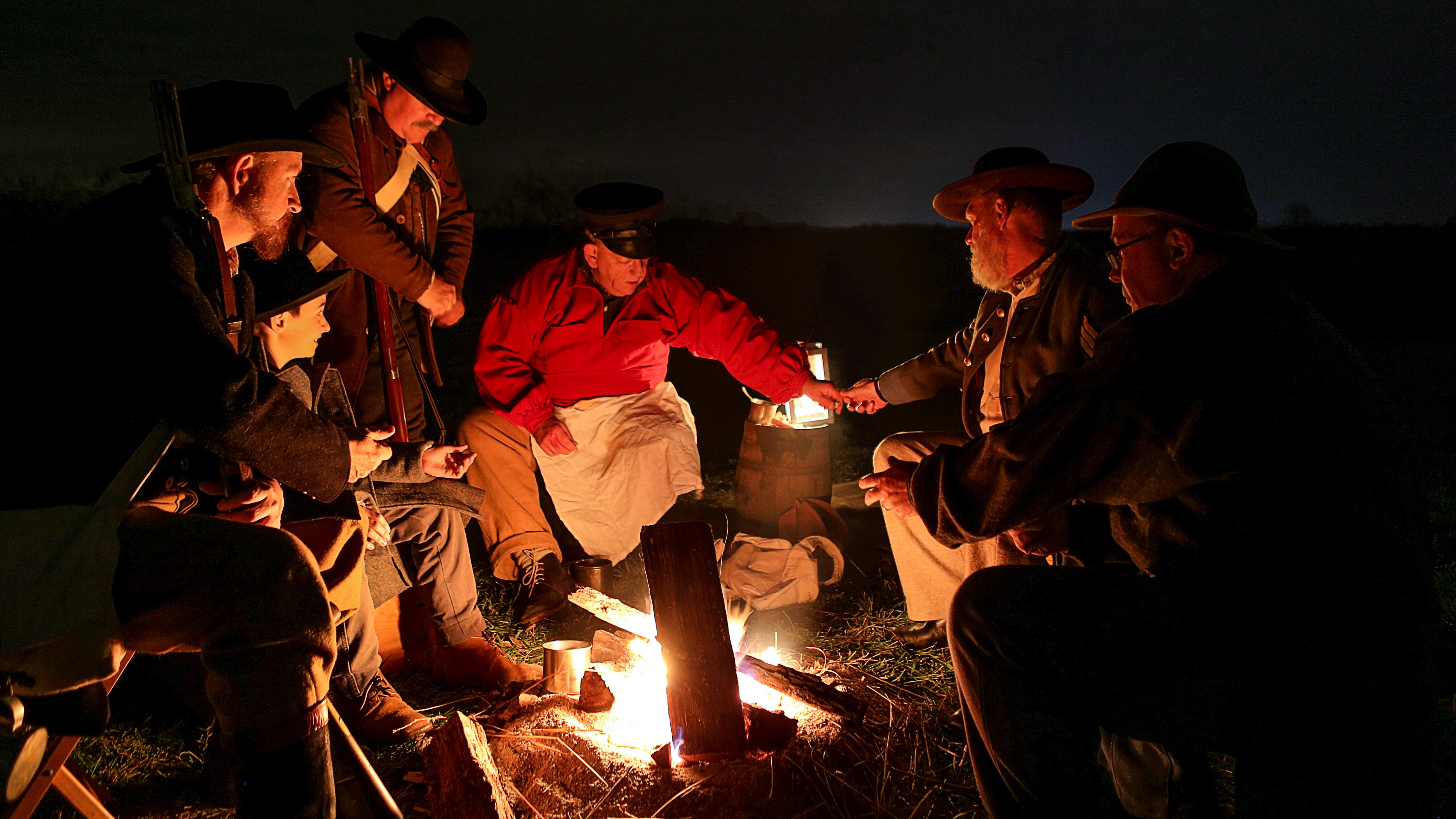
Wilson's Creek National Battlefield
National Battlefield
Wilson's Creek was the first major Civil War battle fought west of the Mississippi River, and where the first Union general was killed in action. The costly Southern victory on August 10, 1861, focuse...
10 mi from route
~24 min detour
Free
near mile 205.3
Park data from the National Park Service API. Alerts update every 2 hours.
More Details
What kind of drive is this?
This drive is predominantly highway-focused, with 83% of the journey on major roads like I 44. You'll experience a significant stretch of 157.7 miles on I 44, offering a consistent pace. The route transitions to American Legion Memorial Highway and MO 47, introducing more local road segments. While largely a highway experience, these latter sections offer a slight change of scenery as you approach your destination.
83% highway — fuel and pacing are the main things to plan.
31 navigation steps total — most of the decisions cluster near the start and finish.
Longest single stretch: 157.7 mi on I 44.
How Hard Is This Drive?
6/10
This is a straightforward highway drive that stays mostly on I 44 and American Legion Memorial Highway. You will hit about 18 points where you need to pay attention to lane position or signs. The trickiest moment comes early in the drive near North Linn Avenue.
Driving Effort6/10
Moderate - straightforward overall, but long enough or busy enough to require pacing
Balances navigation complexity with total wheel time.
This drive requires moderate attention. Across 238.2 miles you will encounter 18 spots where lane choice or exit timing matters. Not difficult for experienced highway drivers, but worth previewing the tricky sections before you go.
Where does it get tricky?
The main spots that need attention: near the start (North Linn Avenue): Navigation decision point; at 0.1 miles (West 4th Street): Navigation decision point; at 20 miles (MO 47): Lane positioning matters here.
Branson is in the Ozarks and the southwest region Missouri. Today it is sometimes referred to as a "family-friendly Las Vegas" because of the many shows and attractions, the flashy building decorations, and the neon lights. The "strip", as it has been named, draws people from far and wide.
Doable as a same-day drive at 4h 41m. Total distance: 238.2 miles.
Family Friendly
Moderate complexity with 1 natural rest stops along the way.
Solo Traveler
4h 41m drive, comfortable solo distance.
First-Time Driver
Mostly highway driving (83%). Some complex stretches to watch for.
Frequently Asked Questions
The longest stretch is about 157.7 miles on I 44. The full list of main roads is in the Roads section above.
Yes — we found about 16 rest areas or service plazas within a short detour of the route (from OpenStreetMap). See the Rest Stops tab under Nearby Places for locations and mile markers. Plan to stretch, use the bathroom, and top off fluids every 2–3 hours on longer drives.
It helps. This route has a higher-than-average number of complex decision points, which get harder in the dark. If the last hour of the trip is on surface roads or mountain grades, aim to arrive at Branson, MO before sunset when you can. Check the Trip Plan for departure windows that land you in daylight.
Only with planning. This is a long drive for kids — consider splitting it into two days rather than pushing through. Plan at least 1 meaningful breaks. There are 16 rest areas along the route for bathroom stops.
The main spots that need attention: near the start (North Linn Avenue): Navigation decision point; at 0.1 miles (West 4th Street): Navigation decision point; at 20 miles (MO 47): Lane positioning matters here.
Yes — Wilson's Creek National Battlefield. See the National Parks section for detour distances and tips on detours.
Possible but tiring. At 4.7 hours each way, an in-and-out day trip would put you behind the wheel for 9.4 hours — manageable with a long break at Branson, MO, but most travelers stay overnight.