Origin
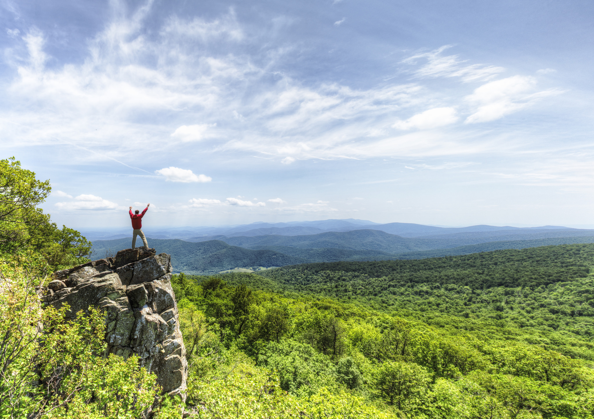
Luray, VA
Morning in Luray on Tuesday
Local time
8:13 AM
EDT
Current temp
49°F
Unavailable
Live forecast
Compiled and reviewed by the US Trip Planner planning team at COD Solutions Oy · Last reviewed Apr 21, 2026 · Editorial standards
Drive Time
4h 38m
Distance
219.8 mi
354 km
Drive Score
9/10
Great drive
Same Day?
Yes, doable
Fuel Cost
$34
one way
EV Charging
Unknown
Estimated drive times based on typical traffic patterns. Actual times may vary with weather, construction, and real-time conditions.

Luray, VA
Kuiyibo Campos

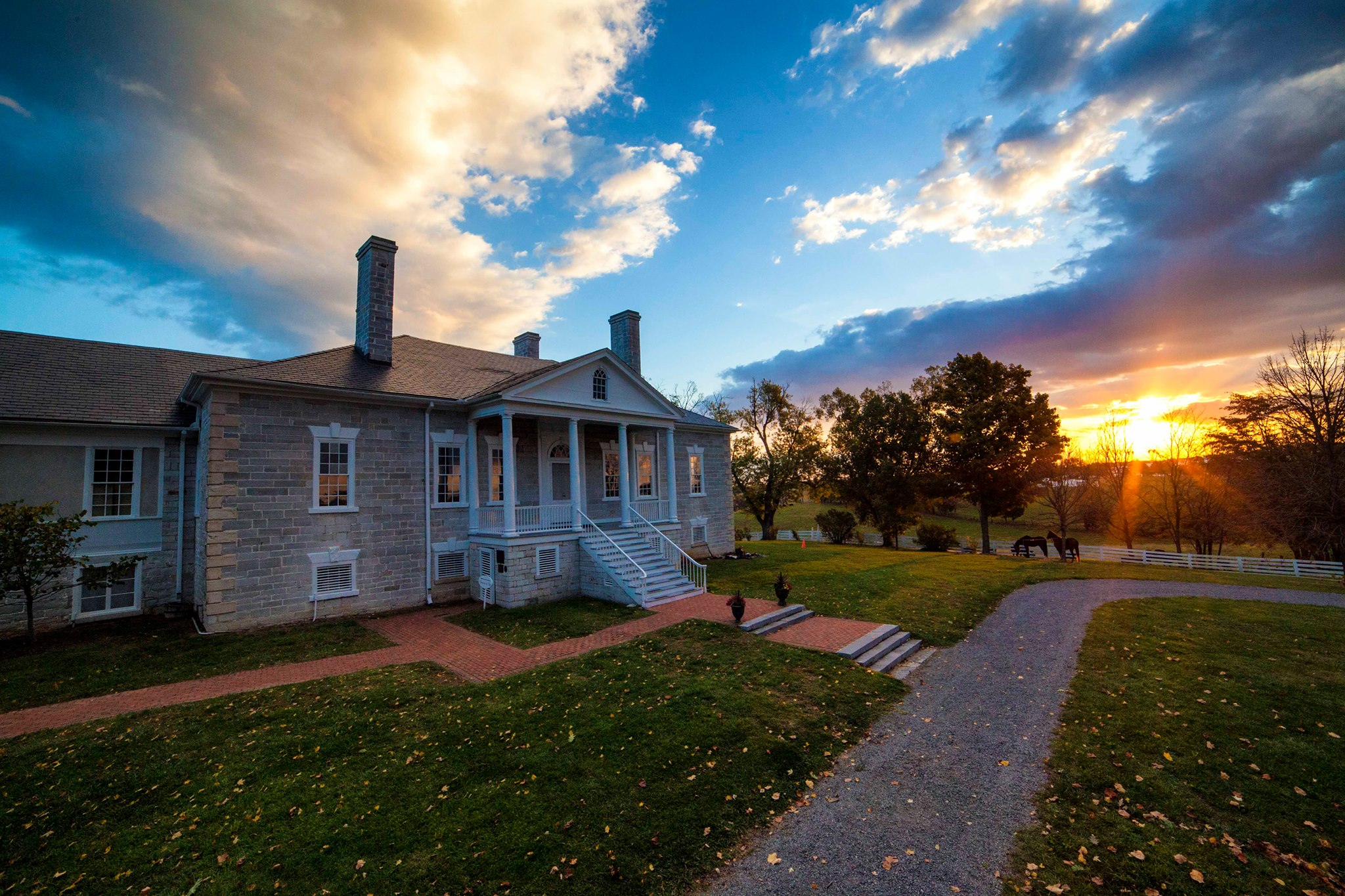
Chesapeake, VA
Wikimedia Commons
Luray, VA to Chesapeake, VA is 219.8 miles and takes about 4h 38m via I 64 and Spotswood Trail, with a fuel budget near $34 and enough daylight to finish in a day. This trip stays within Virginia, moving from the scenic Southeast region to another part of the Southeast. Expect a mix of highway driving and surface roads, making it a straightforward, single-day excursion. It’s a practical choice for getting from the Shenandoah Valley area to the Hampton Roads region without major complications.
Trip Pace
Same-day drive is realistic
A same-day return is possible, but it will make for a full day on the road.
Break Rhythm
1 planned break
Plan on a short reset every 3 to 4 hours to stay fresh behind the wheel.
Midpoint
109.9 miles from Luray, VA
A natural place for your longest stop of the day , about 2h 25m into the drive .
| Road | Distance | Duration |
|---|---|---|
| I 64 | 106.8 mi | 1h 58m |
| Spotswood Trail | 30.5 mi | 41m |
| Korean War Veterans Memorial Highway | 22.9 mi | 25m |
| US 340 | 17.1 mi | 26m |
| James Madison Highway | 11 mi | 15m |
| Hampton Roads Beltway | 6.8 mi | 8m |
| US 211 | 6.1 mi | 8m |
| Hampton Roads Bridge-Tunnel | 3.5 mi | 4m |
Step-by-step road directions between Luray, VA and Chesapeake, VA.
Start on US 211 BUS
Enter roundabout onto Northcott Drive
Continue on Northcott Drive
Turn left onto US 211; US 340
Continue on US 340
Turn left onto US 33 BUS
Merge onto US 33
Turn straight onto US 33
Continue on US 33
Enter roundabout onto US 33
Continue on US 33
Continue on US 33; VA 231
Enter roundabout onto US 15; US 33
Continue on US 15; US 33
Turn slight right onto US 15; US 33
Continue on US 15; US 33
Take the ramp
Merge onto I 64
Take the exit
Continue on I 295
Take the exit
Merge onto I 64
Keep slight left at fork onto I 64; US 60
Continue on I 64; US 60
Continue on I 64; US 60
Take the exit
Turn straight onto VA 194
Turn straight
Turn left onto VA 247
Turn right onto VA 166
Turn left onto VA 166
Turn left onto US 460; VA 166; VA 168
Continue on US 460; VA 166; VA 168
Turn right onto US 460; VA 166
Continue on US 460; VA 166
Continue on US 460; VA 166
Turn right onto D Street
Arrive at destination
For this 4-hour, 38-minute drive, leaving in the morning is recommended to maximize daylight and avoid potential evening traffic, especially as you approach Chesapeake. With only one recommended stop and a fuel cost around $34, you have flexibility. Consider filling up before you leave Luray or during the longest stretch on I 64 to manage fuel stops efficiently. The mixed highway and surface road profile means you'll encounter different driving conditions, so stay alert when transitioning between them.
Morning Departure
An early start around 7-8 AM gets you there with plenty of daylight left.
Evening Departure
A late afternoon start means arriving after dark. Morning is better.
This is a comfortable same-day trip.
Departure
Before you leave
Start with fuel, water, and navigation already sorted so the first hour feels easy.
First stop
Around 48 miles or 1h 10m in
Use this first pause for coffee, a restroom break, and a quick traffic check ahead.
Halfway reset
Around 109.9 miles or 2h 25m in
This is the best place for your longest stop, a real meal, and a full fuel check.
Final approach
Final hour starts around 3h 45m
Traffic, exits, and arrival timing usually matter more near Chesapeake, VA than in the middle of the route.
Open the route before leaving Luray, VA so your first major turns are already loaded.
Leave with enough water and a charging cable within reach, not packed away.
Check your fuel range against the first long segment, especially if you are starting outside city service areas.
Day 1
Settle into the route from Luray, VA
This is one driving day of about 219.8 miles and 4h 38m.
Rest stops, refuel points, and overnight suggestions along this route.

Mid-route town
Meal stop
110 mi into the route
Best for: Lunch, fuel, and a longer reset
This sits close to the middle of the route, so it works well for the longest stop of the day.
A short stop after about 48 miles helps settle the day before fatigue starts building.
The midpoint is around 109.9 miles from Luray, VA, which is a good place for a longer meal and fuel stop.
Before the longest stretch
Fuel checkTop up before I 64 if your tank is already low. That segment runs about 106.8 miles.
These stop ideas are pacing suggestions — the exact town or exit can change with traffic, hotel plans, and fuel range.
5 decision points cluster between mile 24.3 and 212.4 — GPS handles the exact turns, but know they're coming. Your lane choice matters more than the turn itself.
Turn left onto US 33 BUS
Lane positioning matters here
Enter roundabout onto US 15; US 33
Roundabout - know your exit number before entering
Take the exit toward I 295 North: Washington, Norfolk
Exit ramp - move to the correct lane early. Lane positioning matters here. Multiple destination signs - pick the right one
Take the exit toward I 64 East: Norfolk, Virginia Beach
Exit ramp - move to the correct lane early. Lane positioning matters here. Multiple destination signs - pick the right one
Take the exit toward VA 194 South: Chesapeake Boulevard
Exit ramp - move to the correct lane early. Lane positioning matters here
Regular Gas
$34.37 one way
$68.74 round trip
| Fuel Type | $/gal | One Way | Round Trip |
|---|---|---|---|
| midgrade | $4.34 | $37.58 | $75.16 |
| premium | $4.70 | $40.68 | $81.36 |
| diesel | $5.61 | $48.53 | $97.06 |
No toll roads detected on this route.
Estimated Trip Cost (one way, 1 person)
Fuel
$34
Meals
$25–$50
Total
$59–$84
Rough estimate based on US averages. Hotel $80–$140/night, meals $25–$50/day.
Estimated CO2 emission: 76.9 kg one way. Prices: EIA weekly data, 2026-04-13.
Driving Electric?
About $23 in charging · 0 stops · 66% less CO2
| Vehicle Type | kWh | Stops | DC Fast | Home Charge |
|---|---|---|---|---|
| Average EV | 65.9 | 0 | $23.08 | $10.55 |
| Efficient EV | 55 | 0 | $19.23 | $8.79 |
| EV Truck/SUV | 87.9 | 1 | $30.77 | $14.07 |
Gas CO2
77 kg
EV CO2
26 kg (66% less)
Plan for 0 charging stops, roughly every 270 miles. Allow 25-40 minutes per stop at a DC fast charger.
DC fast charging avg $0.35/kWh. Home charging avg $0.16/kWh. US grid CO2: 0.39 kg/kWh.
Current conditions at both ends of the drive.
Origin
Morning in Luray on Tuesday
Local time
8:13 AM
EDT
Current temp
49°F
Unavailable
Destination
Morning in Chesapeake on Tuesday
Local time
8:13 AM
EDT
Current temp
73°F
Unavailable
Seasonal Notes
Summer travel usually means heavier construction, hotter rest stops, and busier weekend traffic around major cities.
Winter travel shortens daylight, so a route that looks manageable on paper can feel much longer after dark.
Holiday weekends tend to make both departure and arrival windows slower than the raw route time suggests.
Time zone
Origin and destination are on the same clock, so arrival timing is easier to judge at a glance.
Temperature spread
A meaningful temperature swing is a good cue to rethink layers, water, and how soon you want to arrive.
Road read
An early start around 7-8 AM gets you there with plenty of daylight left.
Weather data from the National Weather Service. Conditions may change; check closer to your travel date.
Worth a detour if your schedule allows.

National Historical Park
On May 13, 1607, Jamestown was established as the first permanent English settlement in North America. Three cultures came together – European, Virginia Indian and African–to create a new society that...

National Monument
Fort Monroe's story spans from prehistory to the 2000s. Kecoughtan Indians occupied Old Point Comfort before the arrival of English colonists. The first enslaved Africans arrived in 1619. Those escapi...
National Park
Just 75 miles from the bustle of Washington, D.C., Shenandoah National Park is a land bursting with cascading waterfalls, spectacular vistas, fields of wildflowers, and quiet wooded hollows. With over...
National Historical Park
Virginia’s Shenandoah Valley has a long and rich heritage that still inspires today. Native Americans first shaped the land, followed by colonists and settlers. The fertile valley became an important...

National Battlefield
Two hundred ninety-two days, eight offensives, over 70,000 casualties, U. S. Colored Troops, and the decline of Gen. Lee's Army of Northern Virginia all describe the Siege of Petersburg. U.S. forces c...
Park data from the National Park Service API. Alerts update every 2 hours.
About 60% of this 219.8-mile drive is on highways, including a significant 106.8-mile stretch on I 64. You'll transition from highway cruising to surface roads, likely noticing a change in traffic density and speed limits as you exit the main interstate. The profile is mixed, so be prepared for both faster highway sections and potentially more local traffic on Spotswood Trail and Korean War Veterans Memorial Highway.
This route mixes highway mileage with some local-road sections near the start or finish. This route has several spots where lane changes, forks, or exits need your full attention. The trickiest moment comes around 24.3 miles in near US 33 BUS.
Demanding - plan breaks and stay ahead of the key maneuvers
Balances navigation complexity with total wheel time.
This is a demanding drive. With 19 significant decision points across 219.8 miles, you will need to stay alert - especially through interchange areas and urban stretches. Consider splitting it into segments if you are not comfortable with fast highway navigation.
Where does it get tricky?
The main spots that need attention: at 24.3 miles (US 33 BUS): Lane positioning matters here; at 57.5 miles (US 15; US 33): Roundabout - know your exit number before entering; at 109.9 miles: Exit ramp - move to the correct lane early. Lane positioning matters here. Multiple destination signs - pick the right one.
Gently rolling terrain
Total Climb
1,269 ft
Total Descent
2,062 ft
Highest Point
2,048 ft
~31.4 mi in
Elevation Range
2,050 ft
Notable High Points
Based on OSRM destination-sign hints, not a full list of every settlement the road passes.
Between Luray, VA and Chesapeake, VA, road signs point toward Norfolk and Virginia Beach.
Norfolk
Virginia Beach
Chesapeake is a town of 245,000 people (2019) in the Hampton Roads region of Eastern Virginia. Chesapeake is a diverse city in which a few urban areas are located; it also has many square miles of protected farmland, forests, and wetlands, including a substantial portion of the Great Dismal Swamp National Wildlife Refuge.
City content from Wikivoyage (CC BY-SA 4.0) and Wikidata (CC0).
Weekend Trip
Doable as a same-day drive at 4h 38m. Total distance: 219.8 miles.
Family Friendly
Moderate complexity with 1 natural rest stops along the way.
Solo Traveler
4h 38m drive, comfortable solo distance.
Compiled by the US Trip Planner planning team at COD Solutions Oy from open government datasets — OSRM over OpenStreetMap for geometry, EIA for fuel prices, USGS 3DEP for elevation, and NPS for national parks. See our methodology for refresh cadence and limitations.
Was this helpful?
Thanks for your feedback!
Your tip has been submitted. Thanks!
/500
Recent Tips
·
Explore more options from Luray, VA or browse trips ending in Chesapeake, VA.
Looking for more statewide routes? Browse VA road trips.