Traveling from Boonville to Jeffersonville covers a straightforward 101.7-mile stretch across Indiana. You can expect the journey to take approximately two hours of total drive time, making it an ideal day trip that doesn't require an overnight stay. With a modest fuel budget of about $15, this is a highly economical route for those looking to traverse the Midwest. The path relies heavily on I-64, State Road 61, and South 3rd Street to get you from point A to point B efficiently. Because the trip is relatively short, you have the flexibility to head out in the morning and reach your destination with plenty of daylight left for your plans. It is a practical, no-nonsense connection between these two Indiana locations.
Trip Pace
Same-day drive is realistic
A same-day return is realistic if you keep stops short.
Midpoint
50.8 miles from Boonville, IN
A natural place for your longest stop of the day
, about 59m into the drive
.
Main Roads
Road
Distance
Duration
I 64
89 mi
1h 38m
State Road 61
9.4 mi
14m
South 3rd Street
0.8 mi
1m
West Court Avenue
0.5 mi
1m
Abraham Lincoln Bridge
0.5 mi
<1m
Walnut Street
<0.1 mi
<1m
Watt Street
<0.1 mi
<1m
Longest stretch:
I 64
— 89 mi, about 1h 38m
Turn-by-Turn Driving Directions
Step-by-step road directions between Boonville, IN and Jeffersonville, IN.
1
Start on SR 61
0.8 mi·1 min·South 3rd Street
2
Continue on SR 61
2.2 mi·3 min·State Road 61
3
Enter roundabout onto SR 61
170 ft·3 sec·State Road 61
4
Continue on SR 61
7.3 mi·10 min·State Road 61
5
Take the ramp
0.3 mi·36 sec
6
Merge onto I 64
82 mi·1 hr 29 min·I 64
7
Keep slight right at fork onto I 64; US 150
7.1 mi·9 min·I 64; US 150
Use the straight / slight right lanes.
8
Take the exit
0.1 mi·15 sec
Exit 5Toward I 65 South, I 65 Toll North: Nashville, IndianapolisUse the slight left / straight lanes.
9
Keep slight right at fork
0.5 mi·59 sec
Toward I 65 Toll North: IndianapolisUse the slight right lane.
10
Merge onto I 65
0.5 mi·45 sec·Abraham Lincoln Bridge
11
Take the exit
0.3 mi·42 sec
Toward Court Avenue, 6th Street
12
Turn right onto West Court Avenue
0.5 mi·1 min·West Court Avenue
13
Turn left onto Walnut Street
221 ft·11 sec·Walnut Street
14
Turn right
204 ft·20 sec
15
Turn left
131 ft·11 sec
16
Turn right
212 ft·17 sec
17
At end of road, turn right onto Watt Street
96 ft·4 sec·Watt Street
18
Arrive at destination
Watt Street
Trip Plan
Since the total drive time is only two hours, you have significant flexibility when choosing your departure window. To make the most of your trip, try leaving mid-morning to avoid potential commuter traffic as you approach Jeffersonville. Because the route is dominated by an 89-mile stretch on I-64, ensure your vehicle is fueled up before hitting the interstate to avoid unnecessary stops. Keep in mind that with zero scheduled stops in the data, you should plan your own breaks strategically to keep your energy up. A smart way to pace yourself is to check local traffic conditions for the Jeffersonville area before you leave, as the final approach via South 3rd Street may vary depending on the time of day.
Morning Departure
Leave by 9 AM and you'll arrive before lunch.
Evening Departure
Even a 4 PM departure gets you there before dark in summer.
You can normally do this drive in one day.
You may only need one short stretch break if traffic stays light.
The halfway point lands around 50.8 miles from Boonville, IN, or about 59m into the drive.
The longest continuous stretch on this route runs about 89 miles.
This is a comfortable same-day trip.
Departure
Before you leave
Start with fuel, water, and navigation already sorted so the first hour feels easy.
First stop
Around 22 miles or 28m in
Use this first pause for coffee, a restroom break, and a quick traffic check ahead.
Halfway reset
Around 50.8 miles or 59m in
This is the best place for your longest stop, a real meal, and a full fuel check.
Final approach
Final hour starts around 1h 35m
Traffic, exits, and arrival timing usually matter more near Jeffersonville, IN than in the middle of the route.
Before You Leave
+
Open the route before leaving Boonville, IN so your first major turns are already loaded.
+
Leave with enough water and a charging cable within reach, not packed away.
+
Check your fuel range against the first long segment, especially if you are starting outside city service areas.
Day 1
Settle into the route from Boonville, IN
This is one driving day of about 101.7 miles and 2h.
Your first comfortable stop window is around 22 miles from Boonville, IN.
This route can stay practical as a one-day drive if traffic stays reasonable.
The longest stretch is on I 64 for about 89 miles.
Where to Stop
Rest stops, refuel points, and overnight suggestions along this route.
Place data sourced from public business listings. Hours and availability may vary.
Heads-up: tricky spots
5 of 13
5 decision points cluster between mile 3 and 100.7 — GPS handles the exact turns, but know they're coming. Your lane choice matters more than the turn itself.
5
3 mi into trip|~4m in|SR 61 / State Road 61
Enter roundabout onto SR 61 / State Road 61
Roundabout - know your exit number before entering
6
92.4 mi into trip|~1h 44m in|I 64; US 150
Keep slight right at fork onto I 64; US 150
Highway fork - watch signs carefully. Lane positioning matters here
Use the straight / slight right lanes.
8
99.6 mi into trip|~1h 54m in
Take the exit toward I 65 South, I 65 Toll North: Nashville, Indianapolis
Exit ramp - move to the correct lane early. Lane positioning matters here. Multiple destination signs - pick the right one
Use the slight left / straight lanes.
Exit 5
Toward I 65 South, I 65 Toll North: Nashville,...
7
99.7 mi into trip|~1h 54m in
Keep slight right at fork toward I 65 Toll North: Indianapolis
Highway fork - watch signs carefully. Lane positioning matters here
Use the slight right lane.
Toward I 65 Toll North: Indianapolis
5
100.7 mi into trip|~1h 56m in
Take the exit toward Court Avenue, 6th Street
Exit ramp - move to the correct lane early. Multiple destination signs - pick the right one
Toward Court Avenue, 6th Street
Fuel & Cost
Regular Gas
$15.90 one way
$31.80 round trip
$3.97/gal25.4 MPG avg36 kg CO2
Fuel Type
$/gal
One Way
Round Trip
midgrade
$4.36
$17.46
$34.91
premium
$4.89
$19.57
$39.14
diesel
$5.61
$22.45
$44.91
No toll roads detected on this route.
Estimated Trip Cost (one way, 1 person)
Fuel
$16
Meals
$25–$50
Total
$41–$66
Rough estimate based on US averages. Hotel $80–$140/night, meals $25–$50/day.
Estimated CO2 emission: 35.6 kg one way.
Prices: EIA weekly data, 2026-04-13.
Driving Electric?
About $11 in charging
· 0 stops
· 67% less CO2
Vehicle Type
kWh
Stops
DC Fast
Home Charge
Average EV
30.5
0
$10.68
$4.88
Efficient EV
25.4
0
$8.90
$4.07
EV Truck/SUV
40.7
0
$14.24
$6.51
Gas CO2
36 kg
EV CO2
12 kg (67% less)
This trip is well within single-charge range for most EVs. No charging stops needed if you start fully charged.
DC fast charging avg $0.35/kWh. Home charging avg $0.16/kWh. US grid CO2: 0.39 kg/kWh.
Travel Intel
Current conditions at both ends of the drive.
Forecast as of Apr 15, 2026
Origin
Boonville, IN
Night
in Boonville on Saturday
Local time
11:45 PM
CDT
Current temp
56°F
Unavailable
Live forecast
Destination
Jeffersonville, IN
Late night
in Jeffersonville on Sunday
Local time
12:45 AM
EDT
Current temp
76°F
Unavailable
Live forecast
Seasonal Notes
Summer travel usually means heavier construction, hotter rest stops, and busier weekend traffic around major cities.
Winter travel shortens daylight, so a route that looks manageable on paper can feel much longer after dark.
Holiday weekends tend to make both departure and arrival windows slower than the raw route time suggests.
Time zone
1 hour later
The destination clock does not match departure time, so double-check hotel check-in windows and late arrival plans.
Temperature spread
20 degrees warmer at arrival
A meaningful temperature swing is a good cue to rethink layers, water, and how soon you want to arrive.
Road read
2h on the road
Use the two city cards together: check the sky where you start, then compare it with the local time and temperature at arrival.
Weather data from the National Weather Service. Conditions may change; check closer to your travel date.
National Parks Near This Route
Worth a detour if your schedule allows.
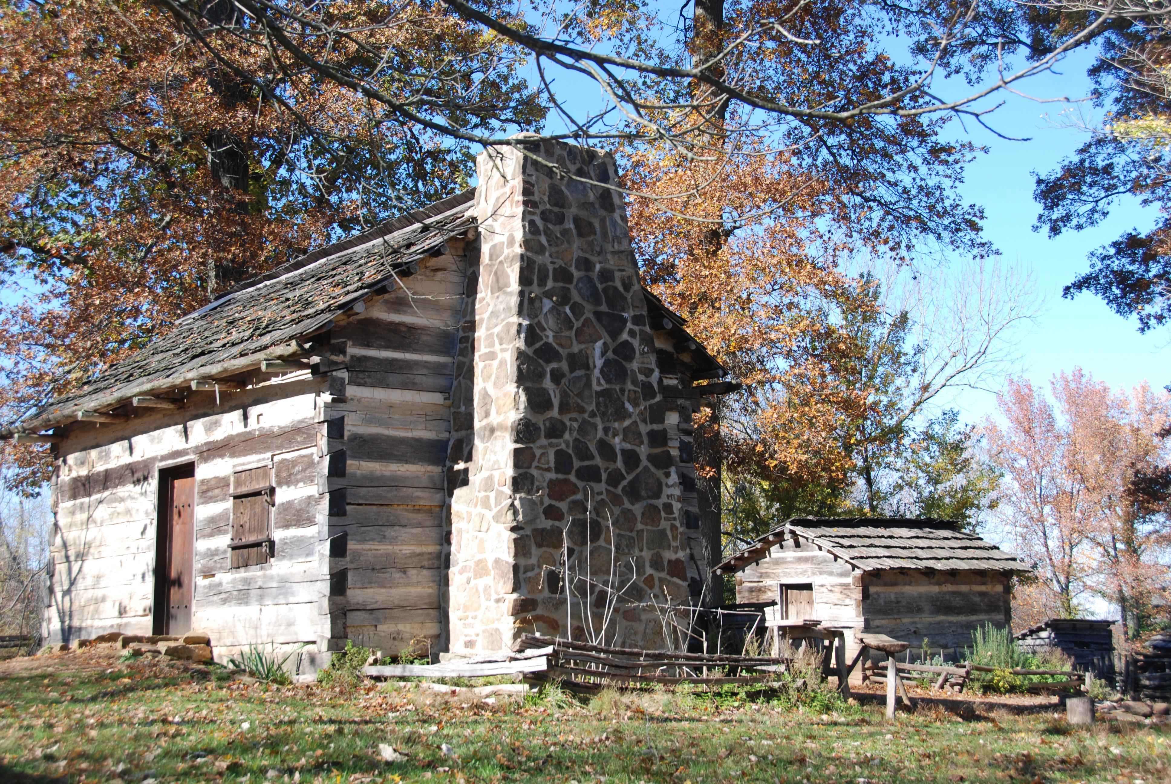
Lincoln Boyhood National Memorial
National Memorial
Abraham Lincoln grew from youth to manhood on this southern Indiana soil. Many character and moral traits of one of the world's most respected leaders was formed and nurtured here. Explore Lincoln's b...
Park data from the National Park Service API. Alerts update every 2 hours.
More Details
What kind of drive is this?
This drive is primarily a highway-focused experience, with 88% of your time spent on major roads. You will find yourself settling into a steady rhythm on I-64, which accounts for the longest uninterrupted stretch of 89 miles. The transition from local roads like State Road 61 onto the interstate provides a clear shift in pace, moving you quickly through the Indiana landscape. Expect a consistent, efficient ride that prioritizes speed and directness over winding backroads. Being behind the wheel here is about maintaining focus on the interstate flow, as the vast majority of your two-hour commute is spent at highway speeds.
88% highway — fuel and pacing are the main things to plan.
18 navigation steps total — most of the decisions cluster near the start and finish.
Longest single stretch: 89 mi on I 64.
How Hard Is This Drive?
7/10
This is a straightforward highway drive that stays mostly on I 64 and State Road 61. This route has several spots where lane changes, forks, or exits need your full attention. The trickiest moment comes around 3 miles in near SR 61 / State Road 61.
Driving Effort7/10
Demanding - plan breaks and stay ahead of the key maneuvers
Balances navigation complexity with total wheel time.
This is a demanding drive. With 13 significant decision points across 101.7 miles, you will need to stay alert - especially through interchange areas and urban stretches. Consider splitting it into segments if you are not comfortable with fast highway navigation.
Where does it get tricky?
The main spots that need attention: at 3 miles (SR 61 / State Road 61): Roundabout - know your exit number before entering; at 92.4 miles (I 64; US 150): Highway fork - watch signs carefully. Lane positioning matters here; at 99.6 miles: Exit ramp - move to the correct lane early. Lane positioning matters here. Multiple destination signs - pick the right one.
Elevation Profile
Mostly flat terrain
848 ft423 ft
Total Climb
779 ft
Total Descent
758 ft
Highest Point
848 ft
~87.1 mi in
Elevation Range
425 ft
Who Is This Route For?
Weekend Trip
Doable as a same-day drive at 2h. Total distance: 101.7 miles.
Family Friendly
Moderate complexity with 0 natural rest stops along the way.
Solo Traveler
2h drive, comfortable solo distance.
First-Time Driver
Mostly highway driving (88%). Some complex stretches to watch for.
Frequently Asked Questions
The longest stretch is about 89 miles on I 64. The full list of main roads is in the Roads section above.
It helps. This route has a higher-than-average number of complex decision points, which get harder in the dark. If the last hour of the trip is on surface roads or mountain grades, aim to arrive at Jeffersonville, IN before sunset when you can. Check the Trip Plan for departure windows that land you in daylight.
Only with planning. This is a long drive for kids — consider splitting it into two days rather than pushing through. Dedicated rest areas are limited, so plan gas or food stops as your bathroom breaks.
The main spots that need attention: at 3 miles (SR 61 / State Road 61): Roundabout - know your exit number before entering; at 92.4 miles (I 64; US 150): Highway fork - watch signs carefully. Lane positioning matters here; at 99.6 miles: Exit ramp - move to the correct lane early. Lane positioning matters here. Multiple destination signs - pick the right one.
Yes — Lincoln Boyhood National Memorial. See the National Parks section for detour distances and tips on detours.
Yes. A round trip is manageable in a single day if you plan a break at Jeffersonville, IN before heading back.