Traveling from Barre to Brandon covers 58 miles of Vermont countryside, making for a straightforward trip that typically takes 1 hour and 41 minutes. Because of the manageable duration, this journey is perfectly suited for a single-day excursion, eliminating the need for an overnight stay. You can expect to spend approximately $9 on fuel for the trek, which keeps the trip budget-friendly. The route transitions through the Northeast region, moving from the Barre area toward the scenic interior of the state. It is an ideal option if you are looking for a quick change of scenery without spending your entire day behind the wheel. Whether you are heading out for a short getaway or a practical relocation, this drive offers a balanced pace that fits easily into a weekend schedule.
Trip Pace
Same-day drive is realistic
A same-day return is realistic if you keep stops short.
Midpoint
29 miles from Barre, VT
A natural place for your longest stop of the day
, about 42m into the drive
.
Main Roads
Road
Distance
Duration
I 89
15.6 mi
18m
Brandon Mountain Road
9 mi
15m
Camp Brook Road
5.6 mi
13m
Bethel Mountain Road
4.1 mi
10m
Forest Dale Road
3.8 mi
6m
Vermont Route 63
3.7 mi
5m
Gap Road
3.6 mi
6m
Pleasant Street
2.9 mi
5m
Longest stretch:
I 89
— 15.6 mi, about 18m
Turn-by-Turn Driving Directions
Step-by-step road directions between Barre, VT and Brandon, VT.
1
Start on this road
172 ft·18 sec·this road
2
Turn left onto Prospect Street
187 ft·7 sec·Prospect Street
3
Turn right onto VT 14
1.1 mi·3 min·South Main Street
4
Continue on VT 14
0.6 mi·1 min·South Barre Road
5
Turn right onto VT 63
3.7 mi·5 min·Vermont Route 63
6
Take the ramp
0.5 mi·1 min
Toward I 89 South: White River Junction
7
Merge onto I 89
16 mi·18 min·I 89
8
Take the exit
0.2 mi·34 sec
Exit 4Toward VT 66: Randolph
9
Turn right onto VT 66
2.0 mi·3 min·Vermont Route 66
10
Continue on VT 66
0.6 mi·1 min·Central Street
11
Turn left onto VT 12
1.0 mi·1 min·North Main Street
12
Continue on VT 12
1.5 mi·2 min·Vermont Route 12 South
13
Continue on VT 12
2.9 mi·5 min·Pleasant Street
14
Keep slight right at fork onto Camp Brook Road Fork
288 ft·8 sec·Camp Brook Road Fork
15
Continue on Camp Brook Road
5.6 mi·13 min·Camp Brook Road
16
Continue on Rochester Mountain Road
0.4 mi·1 min·Rochester Mountain Road
17
Continue on Bethel Mountain Road
2.8 mi·6 min·Bethel Mountain Road
18
At end of road, turn left onto Bethel Mountain Road
1.3 mi·3 min·Bethel Mountain Road
19
At end of road, turn left onto VT 100
0.5 mi·1 min·South Main Street
20
Continue on VT 100
0.3 mi·37 sec·Vermont Route 100 South
21
Turn right onto VT 73
3.9 mi·6 min·Brandon Mountain Road
22
Continue on VT 73
5.1 mi·8 min·Brandon Mountain Road
23
Continue on VT 73
3.6 mi·6 min·Gap Road
24
Continue on VT 73
3.8 mi·6 min·Forest Dale Road
25
Continue on VT 73
0.3 mi·29 sec·Marble Street
26
Turn right onto VT 73
0.3 mi·31 sec·Park Street
27
Continue on Park Street
446 ft·19 sec·Park Street
28
Arrive at destination
Park Street
Trip Plan
Since this is a relatively short trip, you have plenty of flexibility to plan your departure around your personal schedule. With no mandatory stops required to reach your destination in under two hours, you can drive straight through or break up the 58 miles at your own pace. Keep in mind that the transition from I-89 to local roads like Brandon Mountain Road requires a shift in driving style, so stay alert as you exit the highway. Since your fuel cost is estimated at $9, it is best to fill your tank before you leave Barre to avoid searching for stations on the more rural stretches of the route. Taking advantage of the daylight hours will ensure you have the best visibility when navigating the secondary roads that define the latter half of your drive.
Morning Departure
Leave by 9 AM and you'll arrive before lunch.
Evening Departure
Even a 4 PM departure gets you there before dark in summer.
You can normally do this drive in one day.
You may only need one short stretch break if traffic stays light.
The halfway point lands around 29 miles from Barre, VT, or about 42m into the drive.
The longest continuous stretch on this route runs about 15.6 miles.
This is a comfortable same-day trip.
Departure
Before you leave
Start with fuel, water, and navigation already sorted so the first hour feels easy.
First stop
Around 13 miles or 19m in
Use this first pause for coffee, a restroom break, and a quick traffic check ahead.
Halfway reset
Around 29 miles or 42m in
This is the best place for your longest stop, a real meal, and a full fuel check.
Final approach
Final hour starts around 1h 25m
Traffic, exits, and arrival timing usually matter more near Brandon, VT than in the middle of the route.
Before You Leave
+
Open the route before leaving Barre, VT so your first major turns are already loaded.
Day 1
Settle into the route from Barre, VT
This is one driving day of about 58 miles and 1h 41m.
Your first comfortable stop window is around 13 miles from Barre, VT.
This route can stay practical as a one-day drive if traffic stays reasonable.
The longest stretch is on I 89 for about 15.6 miles.
Where to Stop
Rest stops, refuel points, and overnight suggestions along this route.
Place data sourced from public business listings. Hours and availability may vary.
Heads-up: tricky spots
5 of 12
5 decision points cluster between mile 0 and 40.1 — GPS handles the exact turns, but know they're coming. Your lane choice matters more than the turn itself.
5
0 mi into trip|~0m in|Prospect Street
Turn left onto Prospect Street
Navigation decision point
4
0.1 mi into trip|~0m in|VT 14 / South Main Street
Turn right onto VT 14 / South Main Street
Navigation decision point
5
21.7 mi into trip|~29m in
Take the exit toward VT 66: Randolph
Exit ramp - move to the correct lane early
Exit 4
Toward VT 66: Randolph
5
38.8 mi into trip|~1h 5m in|Bethel Mountain Road
At end of road, turn left onto Bethel Mountain Road
Navigation decision point
5
40.1 mi into trip|~1h 8m in|VT 100 / South Main Street
At end of road, turn left onto VT 100 / South Main Street
Navigation decision point
Fuel & Cost
Regular Gas
$9.34 one way
$18.67 round trip
$4.09/gal25.4 MPG avg20 kg CO2
Fuel Type
$/gal
One Way
Round Trip
midgrade
$4.50
$10.27
$20.55
premium
$4.86
$11.11
$22.21
diesel
$5.61
$12.81
$25.61
No toll roads detected on this route.
Estimated Trip Cost (one way, 1 person)
Fuel
$9
Meals
$25–$50
Total
$34–$59
Rough estimate based on US averages. Hotel $80–$140/night, meals $25–$50/day.
Estimated CO2 emission: 20.3 kg one way.
Prices: EIA weekly data, 2026-04-13.
Driving Electric?
About $6 in charging
· 0 stops
· 65% less CO2
Vehicle Type
kWh
Stops
DC Fast
Home Charge
Average EV
17.4
0
$6.09
$2.78
Efficient EV
14.5
0
$5.07
$2.32
EV Truck/SUV
23.2
0
$8.12
$3.71
Gas CO2
20 kg
EV CO2
7 kg (65% less)
This trip is well within single-charge range for most EVs. No charging stops needed if you start fully charged.
DC fast charging avg $0.35/kWh. Home charging avg $0.16/kWh. US grid CO2: 0.39 kg/kWh.
Travel Intel
Current conditions at both ends of the drive.
Forecast as of Apr 15, 2026
Origin
Barre, VT
Late night
in Barre on Sunday
Local time
3:56 AM
EDT
Current temp
36°F
Unavailable
Live forecast
Destination
Brandon, VT
Late night
in Brandon on Sunday
Local time
3:56 AM
EDT
Current temp
36°F
Unavailable
Live forecast
36°F
Rochester, VT
29 mi in
Seasonal Notes
Summer travel usually means heavier construction, hotter rest stops, and busier weekend traffic around major cities.
Winter travel shortens daylight, so a route that looks manageable on paper can feel much longer after dark.
Holiday weekends tend to make both departure and arrival windows slower than the raw route time suggests.
Time zone
Same local time
Origin and destination are on the same clock, so arrival timing is easier to judge at a glance.
Temperature spread
Very similar conditions
Both ends of the route are sitting at about the same temperature right now.
Road read
1h 41m on the road
Use the two city cards together: check the sky where you start, then compare it with the local time and temperature at arrival.
Weather data from the National Weather Service. Conditions may change; check closer to your travel date.
National Parks Near This Route
Worth a detour if your schedule allows.
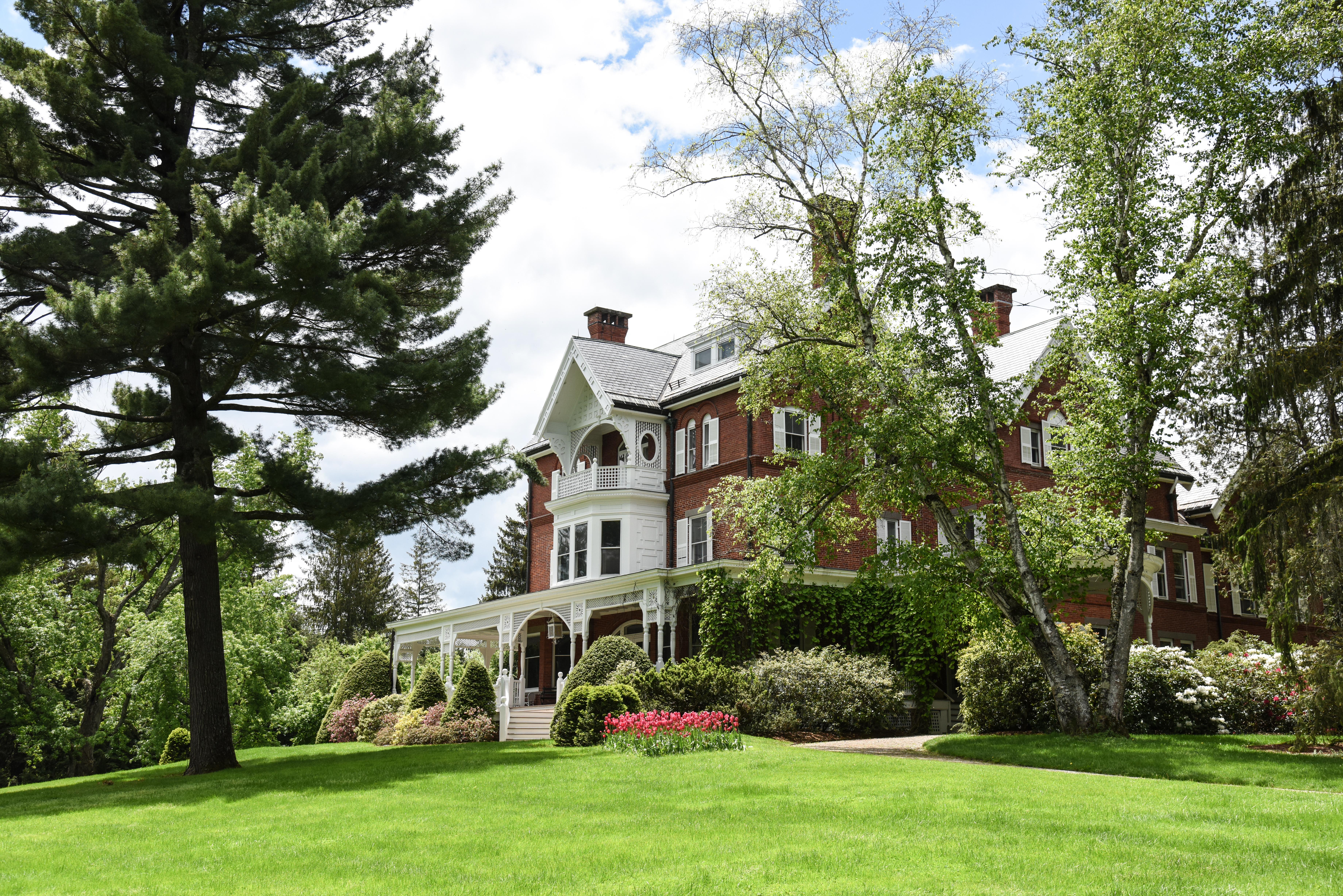
Marsh - Billings - Rockefeller National Historical Park
National Historical Park
Walk through one of Vermont's most beautiful landscapes under the shade of the Mount Tom Forest, the oldest continuously managed scientific forest in the United States. This is a landscape of loss, re...
Park data from the National Park Service API. Alerts update every 2 hours.
More Details
What kind of drive is this?
This 58-mile route offers a mixed driving profile that keeps the experience varied. You will start with about 40% of your time on the interstate, including a longest uninterrupted stretch of 15.6 miles on I-89. As you transition away from the highway, the character of the road shifts significantly as you navigate Brandon Mountain Road and Camp Brook Road. These local stretches provide a slower, more deliberate driving pace compared to the initial highway portion. Expect the drive to feel like a blend of efficient transit and more technical local maneuvering, which helps break up the monotony of standard interstate travel.
40% highway, the rest on surface roads — varied driving throughout.
28 navigation steps total — most of the decisions cluster near the start and finish.
Longest single stretch: 15.6 mi on I 89.
How Hard Is This Drive?
5/10
This route mixes highway mileage with some local-road sections near the start or finish. You will hit about 12 points where you need to pay attention to lane position or signs. The trickiest moment comes early in the drive near Prospect Street.
Driving Effort5/10
Moderate - straightforward overall, but long enough or busy enough to require pacing
Balances navigation complexity with total wheel time.
This drive requires moderate attention. Across 58 miles you will encounter 12 spots where lane choice or exit timing matters. Not difficult for experienced highway drivers, but worth previewing the tricky sections before you go.
Where does it get tricky?
The main spots that need attention: near the start (Prospect Street): Navigation decision point; at 0.1 miles (VT 14 / South Main Street): Navigation decision point; at 21.7 miles: Exit ramp - move to the correct lane early.
Brandon is a town in Southern Vermont with a population of 4,000 people. The town is known for its vibrant arts scene, including several well known artists who reside there.
Doable as a same-day drive at 1h 41m. Total distance: 58 miles.
Family Friendly
Moderate complexity with 0 natural rest stops along the way.
Solo Traveler
1h 41m drive, comfortable solo distance.
First-Time Driver
Mostly highway driving (40%). Some complex stretches to watch for.
Scenic Drive
Mixed highway & surface route profile with national parks nearby.
Frequently Asked Questions
The longest stretch is about 15.6 miles on I 89. The full list of main roads is in the Roads section above.
Yes. At under 2 hours behind the wheel, this works well for families — plan one quick stop if you have younger kids.
Mostly yes along the main roads, but rural stretches through VT can have sparse or no coverage. Before you leave, download offline Google Maps or Apple Maps for the route, and consider downloading music or podcasts instead of streaming. If you depend on data for navigation, keep a paper backup of the turn-by-turn directions.
The main spots that need attention: near the start (Prospect Street): Navigation decision point; at 0.1 miles (VT 14 / South Main Street): Navigation decision point; at 21.7 miles: Exit ramp - move to the correct lane early.
Yes — Marsh - Billings - Rockefeller National Historical Park. See the National Parks section for detour distances and tips on detours.
Yes. A round trip is manageable in a single day if you plan a break at Brandon, VT before heading back.