Traveling from Uniontown to Saint Charles covers approximately 103.9 miles through the heart of Missouri. You can comfortably complete this journey in about 2 hours and 7 minutes, making it a perfect candidate for a single-day trip. With a fuel budget of roughly $16, the drive is quite economical for a solo traveler or a small group. You will primarily utilize I-55, I-270, and US-61 to navigate between these two Midwestern locations. Since the entire route stays within the state of Missouri, you won't need to worry about adjusting for regional differences or crossing state lines. It is a straightforward, efficient path that prioritizes speed and directness over winding backroads.
Trip Pace
Same-day drive is realistic
A same-day return is realistic if you keep stops short.
Midpoint
51.9 miles from Uniontown, MO
A natural place for your longest stop of the day
, about 1h 4m into the drive
.
Main Roads
Road
Distance
Duration
I 55
59.4 mi
1h 4m
I 270
18.1 mi
22m
US 61
11.8 mi
17m
North King's Highway
2.8 mi
4m
I 70
2.7 mi
3m
North Kingshighway Street
2.5 mi
3m
Rosa Parks Highway
1.3 mi
1m
South Fifth Street
1 mi
2m
Longest stretch:
I 55
— 59.4 mi, about 1h 4m
Turn-by-Turn Driving Directions
Step-by-step road directions between Uniontown, MO and Saint Charles, MO.
1
Start on PCR 531
25 ft·2 sec·Perry County Road 531
2
Turn left onto US 61
12 mi·17 min·US 61
3
Enter roundabout onto US 61
128 ft·2 sec·North Kingshighway Street
4
Continue on US 61
2.4 mi·3 min·North Kingshighway Street
5
Continue on US 61
2.8 mi·4 min·North King's Highway
6
Turn left onto MO M
0.5 mi·1 min·MO M
7
Take the ramp
0.2 mi·27 sec
Toward I 55 North: Saint Louis
8
Merge onto I 55
59 mi·1 hr 4 min·I 55
9
Continue on I 55
1.3 mi·1 min·Rosa Parks Highway
10
Take the exit
0.2 mi·27 sec
Exit 196Toward I 270 West, I 255 East: Kansas City, ChicagoUse the slight right lane.
11
Keep slight left at fork
388 ft·8 sec
Toward I 270 West: Kansas CityUse the slight left lane.
12
Continue on this road
0.7 mi·1 min·this road
Exit 196Toward I 270 West
13
Merge onto I 270
18 mi·22 min·I 270
Use the straight lane.
14
Take the exit
1.0 mi·1 min
Exit 20AToward I 70: Kansas City, Saint Louis, Saint Louis Lambert International AirportUse the slight right lane.
15
Keep slight left at fork
0.1 mi·11 sec
Toward I 70 West: Kansas CityUse the slight left lane.
16
Continue on this road
0.6 mi·57 sec·this road
Exit 20BToward I 70 West: Kansas City
17
Merge onto I 70
2.7 mi·3 min·I 70
18
Take the exit onto I 70 Business
0.2 mi·17 sec·I 70 Business
Exit 229BToward I 70 Business: Fifth StreetUse the straight / slight right lanes.
19
Keep slight right at fork
231 ft·5 sec
Toward I 70 Business: Fifth Street North, Bass Pro Drive, Ameristar BoulevardUse the right lane.
20
Turn slight right onto I 70 Business
1.0 mi·2 min·South Fifth Street
Use the right lane.
21
Turn right onto Jefferson Street
0.2 mi·44 sec·Jefferson Street
22
Turn left onto North Second Street
0.2 mi·34 sec·North Second Street
23
Arrive at destination
North Second Street
Trip Plan
Because this drive is relatively short, you have plenty of flexibility to plan your departure around your personal schedule. While the 2-hour and 7-minute duration is manageable in one go, try to time your exit to avoid peak commuter traffic, especially when transitioning onto the I-270 corridor. Since there are no mandatory stops scheduled, ensure your vehicle is fueled up before you hit the highway to keep your $16 budget on track. Keep a close eye on your navigation as you transition between I-55 and US-61, as these highway changes happen quickly. This route is all about efficiency, so pack your essentials in the cabin to avoid needing unnecessary breaks along the way.
Morning Departure
Leave by 9 AM and you'll arrive before lunch.
Evening Departure
Even a 4 PM departure gets you there before dark in summer.
You can normally do this drive in one day.
You may only need one short stretch break if traffic stays light.
The halfway point lands around 51.9 miles from Uniontown, MO, or about 1h 4m into the drive.
The longest continuous stretch on this route runs about 59.4 miles.
This is a comfortable same-day trip.
Departure
Before you leave
Start with fuel, water, and navigation already sorted so the first hour feels easy.
First stop
Around 23 miles or 32m in
Use this first pause for coffee, a restroom break, and a quick traffic check ahead.
Halfway reset
Around 51.9 miles or 1h 4m in
This is the best place for your longest stop, a real meal, and a full fuel check.
Final approach
Final hour starts around 1h 41m
Traffic, exits, and arrival timing usually matter more near Saint Charles, MO than in the middle of the route.
Before You Leave
+
Open the route before leaving Uniontown, MO so your first major turns are already loaded.
+
Leave with enough water and a charging cable within reach, not packed away.
+
Check your fuel range against the first long segment, especially if you are starting outside city service areas.
Day 1
Settle into the route from Uniontown, MO
This is one driving day of about 103.9 miles and 2h 7m.
Your first comfortable stop window is around 23 miles from Uniontown, MO.
This route can stay practical as a one-day drive if traffic stays reasonable.
The longest stretch is on I 55 for about 59.4 miles.
Where to Stop
Rest stops, refuel points, and overnight suggestions along this route.
Place data sourced from public business listings. Hours and availability may vary.
Heads-up: tricky spots
5 of 16
5 decision points cluster between mile 78.6 and 102.5 — GPS handles the exact turns, but know they're coming. Your lane choice matters more than the turn itself.
8
78.6 mi into trip|~1h 33m in
Take the exit toward I 270 West, I 255 East: Kansas City, Chicago
Exit ramp - move to the correct lane early. Lane positioning matters here. Multiple destination signs - pick the right one
Use the slight right lane.
Exit 196
Toward I 270 West, I 255 East: Kansas City, Chi...
8
78.8 mi into trip|~1h 33m in
Keep slight left at fork toward I 270 West: Kansas City
Highway fork - watch signs carefully. Lane positioning matters here
Use the slight left lane.
Toward I 270 West: Kansas City
8
97.8 mi into trip|~1h 57m in
Take the exit toward I 70: Kansas City, Saint Louis, Saint Louis Lambert International Airport
Exit ramp - move to the correct lane early. Lane positioning matters here. Multiple destination signs - pick the right one
Use the slight right lane.
Exit 20A
Toward I 70: Kansas City, Saint Louis, Saint Lo...
7
98.8 mi into trip|~1h 58m in
Keep slight left at fork toward I 70 West: Kansas City
Highway fork - watch signs carefully. Lane positioning matters here
Use the slight left lane.
Toward I 70 West: Kansas City
9
102.5 mi into trip|~2h 3m in
Keep slight right at fork toward I 70 Business: Fifth Street North, Bass Pro Drive, Ameristar Boulevard
Highway fork - watch signs carefully. Lane positioning matters here. Multiple destination signs - pick the right one
Use the right lane.
Toward I 70 Business: Fifth Street North, Bass...
Fuel & Cost
Regular Gas
$15.43 one way
$30.85 round trip
$3.77/gal25.4 MPG avg36 kg CO2
Fuel Type
$/gal
One Way
Round Trip
midgrade
$4.25
$17.40
$34.79
premium
$4.65
$19.04
$38.07
diesel
$5.30
$21.70
$43.39
No toll roads detected on this route.
Estimated Trip Cost (one way, 1 person)
Fuel
$15
Meals
$25–$50
Total
$40–$65
Rough estimate based on US averages. Hotel $80–$140/night, meals $25–$50/day.
Estimated CO2 emission: 36.4 kg one way.
Driving Electric?
About $11 in charging
· 0 stops
· 67% less CO2
Vehicle Type
kWh
Stops
DC Fast
Home Charge
Average EV
31.2
0
$10.91
$4.99
Efficient EV
26
0
$9.09
$4.16
EV Truck/SUV
41.6
0
$14.55
$6.65
Gas CO2
36 kg
EV CO2
12 kg (67% less)
This trip is well within single-charge range for most EVs. No charging stops needed if you start fully charged.
DC fast charging avg $0.35/kWh. Home charging avg $0.16/kWh. US grid CO2: 0.39 kg/kWh.
Travel Intel
Current conditions at both ends of the drive.
Forecast as of Apr 17, 2026
Origin
Uniontown, MO
Night
in Uniontown on Saturday
Local time
11:19 PM
CDT
Current temp
82°F
Unavailable
Live forecast
Destination
Saint Charles, MO
Night
in Saint Charles on Saturday
Local time
11:19 PM
CDT
Current temp
57°F
Unavailable
Live forecast
57°F
Imperial, MO
52 mi in
Seasonal Notes
Summer travel usually means heavier construction, hotter rest stops, and busier weekend traffic around major cities.
Winter travel shortens daylight, so a route that looks manageable on paper can feel much longer after dark.
Holiday weekends tend to make both departure and arrival windows slower than the raw route time suggests.
Time zone
Same local time
Origin and destination are on the same clock, so arrival timing is easier to judge at a glance.
Temperature spread
25 degrees cooler at arrival
A meaningful temperature swing is a good cue to rethink layers, water, and how soon you want to arrive.
Road read
2h 7m on the road
Use the two city cards together: check the sky where you start, then compare it with the local time and temperature at arrival.
Weather data from the National Weather Service. Conditions may change; check closer to your travel date.
National Parks Near This Route
Worth a detour if your schedule allows.
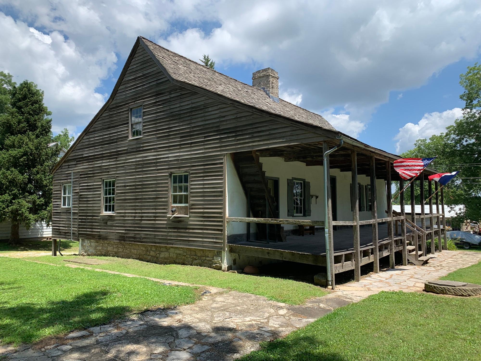
Ste. Geneviève National Historical Park
National Historical Park
Established by 1750, Ste. Geneviève was the first permanent European settlement in Missouri. Early French Canadian settlers were drawn here by the rich agricultural land known as Le Grand Champ (the B...
5 mi from route
~13 min detour
Free
near mile 32.2
Gateway Arch National Park commemorates President Jefferson’s vision of a continental nation, the individuals and cultural groups who helped shape its history, St. Louis’ role in westward expansion, a...
12 mi from route
~30 min detour
$19
near mile 78.8
Park data from the National Park Service API. Alerts update every 2 hours.
More Details
What kind of drive is this?
This is a highway-focused drive, with 89% of your time spent on major thoroughfares. Expect a consistent pace as you traverse the region, highlighted by a significant 59.4-mile uninterrupted stretch along I-55. The transition between interstate systems and US-61 keeps the drive moving quickly, rather than forcing you through localized traffic patterns. While it lacks the stop-and-go feel of residential streets, the interstate portions provide a reliable, albeit utilitarian, experience. You should prepare for a focused, steady journey where maintaining your speed is the primary objective for the duration of the 103.9-mile trip.
89% highway — fuel and pacing are the main things to plan.
23 navigation steps total — most of the decisions cluster near the start and finish.
Longest single stretch: 59.4 mi on I 55.
How Hard Is This Drive?
10/10
This is a straightforward highway drive that stays mostly on I 55 and I 270. This route has several spots where lane changes, forks, or exits need your full attention. The trickiest moment comes around 78.6 miles in.
Driving Effort10/10
High effort - long or complex enough to need steady focus all day
Balances navigation complexity with total wheel time.
This is a demanding drive. With 16 significant decision points across 103.9 miles, you will need to stay alert - especially through interchange areas and urban stretches. Consider splitting it into segments if you are not comfortable with fast highway navigation.
Where does it get tricky?
The main spots that need attention: at 78.6 miles: Exit ramp - move to the correct lane early. Lane positioning matters here. Multiple destination signs - pick the right one; at 78.8 miles: Highway fork - watch signs carefully. Lane positioning matters here; at 97.8 miles: Exit ramp - move to the correct lane early. Lane positioning matters here. Multiple destination signs - pick the right one.
Elevation Profile
Mostly flat terrain
641 ft413 ft
Total Climb
379 ft
Total Descent
455 ft
Highest Point
641 ft
~89 mi in
Elevation Range
228 ft
Towns Mentioned on Route Signs
Based on OSRM destination-sign hints, not a full list of every settlement the road passes.
Between Uniontown, MO and Saint Charles, MO, road signs point toward Chicago, Saint Louis and Saint Louis Lambert International Airport.
Chicago
78.6 mi in|~1h 33m
Saint Louis
97.8 mi in|~1h 57m
Saint Louis Lambert International Airport
97.8 mi in|~1h 57m
Who Is This Route For?
Weekend Trip
Doable as a same-day drive at 2h 7m. Total distance: 103.9 miles.
Family Friendly
Moderate complexity with 0 natural rest stops along the way.
Solo Traveler
2h 7m drive, comfortable solo distance.
First-Time Driver
Mostly highway driving (89%). Some complex stretches to watch for.
Frequently Asked Questions
The longest stretch is about 59.4 miles on I 55. The full list of main roads is in the Roads section above.
It helps. This route has a higher-than-average number of complex decision points, which get harder in the dark. If the last hour of the trip is on surface roads or mountain grades, aim to arrive at Saint Charles, MO before sunset when you can. Check the Trip Plan for departure windows that land you in daylight.
Only with planning. This is a long drive for kids — consider splitting it into two days rather than pushing through. Dedicated rest areas are limited, so plan gas or food stops as your bathroom breaks.
The main spots that need attention: at 78.6 miles: Exit ramp - move to the correct lane early. Lane positioning matters here. Multiple destination signs - pick the right one; at 78.8 miles: Highway fork - watch signs carefully. Lane positioning matters here; at 97.8 miles: Exit ramp - move to the correct lane early. Lane positioning matters here. Multiple destination signs - pick the right one.
Yes — Ste. Geneviève National Historical Park and Gateway Arch National Park. See the National Parks section for detour distances and tips on detours.
Yes. A round trip is manageable in a single day if you plan a break at Saint Charles, MO before heading back.