Origin
Sandy, UT
Night in Sandy on Saturday
Local time
10:34 PM
MDT
Current temp
47°F
Unavailable
Live forecast
Compiled and reviewed by the US Trip Planner planning team at COD Solutions Oy · Last reviewed Apr 18, 2026 · Editorial standards
Drive Time
2h 1m
Distance
105.3 mi
169 km
Drive Score
8/10
Great drive
Same Day?
Yes, doable
Fuel Cost
$17
one way
EV Charging
Unknown
Estimated drive times based on typical traffic patterns. Actual times may vary with weather, construction, and real-time conditions.

Sandy, UT
Wikimedia Commons

Ephraim, UT
Hao Ma
Sandy, UT to Ephraim, UT is 105.3 miles and takes about 2h 1m via Veterans Memorial Highway, with a fuel budget near $17 and enough daylight to finish in a day. This drive stays within the Mountain West region, specifically within Utah, offering a straightforward trip between two points. Given its relatively short distance and duration, it's an ideal candidate for a same-day excursion, allowing for a relaxed pace. You can expect a local driving feel for much of the journey, making it a practical choice for those looking for a simple, direct route.
Trip Pace
Same-day drive is realistic
A same-day return is realistic if you keep stops short.
Midpoint
52.6 miles from Sandy, UT
A natural place for your longest stop of the day , about 56m into the drive .
| Road | Distance | Duration |
|---|---|---|
| Veterans Memorial Highway | 69.8 mi | 1h 11m |
| 100 North | 20.9 mi | 28m |
| 15950 North | 6.9 mi | 8m |
| US 89 | 4.7 mi | 6m |
| Main Street | 0.7 mi | 1m |
| 9000 South | 0.5 mi | <1m |
| 400 East | 0.4 mi | <1m |
| 8800 South | 0.4 mi | 1m |
Step-by-step road directions between Sandy, UT and Ephraim, UT.
Start on 8800 South
At end of road, turn left onto US 89
Turn right onto SR 209
Take the ramp
Merge onto I 15
Take the exit
Turn sharp left onto SR 132
Continue on SR 132
Turn right onto SR 132
Continue on SR 132
Turn right onto US 89
Turn left onto SR 290
Arrive at destination
Since this is a short, single-day drive of just over 100 miles, you have the flexibility to leave whenever suits you best. Aim to depart in the morning to maximize daylight and allow ample time for any unexpected delays. With a 2h 1m estimated duration, you won't need to plan for overnight stays. Keep an eye on your fuel gauge; while the estimated cost is $17, it's always wise to top off before leaving Sandy, especially since the longest stretch on Veterans Memorial Highway is nearly 70 miles, and you'll want to avoid needing to search for a station mid-route.
Morning Departure
Leave by 9 AM and you'll arrive before lunch.
Evening Departure
Even a 4 PM departure gets you there before dark in summer.
This is a comfortable same-day trip.
Departure
Before you leave
Start with fuel, water, and navigation already sorted so the first hour feels easy.
First stop
Around 23 miles or 25m in
Use this first pause for coffee, a restroom break, and a quick traffic check ahead.
Halfway reset
Around 52.6 miles or 56m in
This is the best place for your longest stop, a real meal, and a full fuel check.
Final approach
Final hour starts around 1h 35m
Traffic, exits, and arrival timing usually matter more near Ephraim, UT than in the middle of the route.
Open the route before leaving Sandy, UT so your first major turns are already loaded.
Leave with enough water and a charging cable within reach, not packed away.
Check your fuel range against the first long segment, especially if you are starting outside city service areas.
Day 1
Settle into the route from Sandy, UT
This is one driving day of about 105.3 miles and 2h 1m.
Rest stops, refuel points, and overnight suggestions along this route.

Mid-route town
Meal stop
53 mi into the route
Best for: Lunch, fuel, and a longer reset
This sits close to the middle of the route, so it works well for the longest stop of the day.
A short stop after about 23 miles helps settle the day before fatigue starts building.
The midpoint is around 52.6 miles from Sandy, UT, which is a good place for a longer meal and fuel stop.
Before the longest stretch
Fuel checkTop up before Veterans Memorial Highway if your tank is already low. That segment runs about 69.8 miles.
These stop ideas are pacing suggestions — the exact town or exit can change with traffic, hotel plans, and fuel range.
5 decision points cluster between mile 0.4 and 71.6 — GPS handles the exact turns, but know they're coming. Your lane choice matters more than the turn itself.
At end of road, turn left onto US 89 / State Street
Navigation decision point
Turn right onto SR 209 / 9000 South
Lane positioning matters here
Merge onto I 15 / Veterans Memorial Highway
Merge point - match speed before joining. Lane positioning matters here
Take the exit toward SR 132
Exit ramp - move to the correct lane early
Turn sharp left onto SR 132 / 100 North
Sharp turn - reduce speed on approach
Regular Gas
$16.69 one way
$33.37 round trip
| Fuel Type | $/gal | One Way | Round Trip |
|---|---|---|---|
| midgrade | $4.22 | $17.49 | $34.98 |
| premium | $4.53 | $18.78 | $37.57 |
| diesel | $5.61 | $23.25 | $46.50 |
No toll roads detected on this route.
Estimated Trip Cost (one way, 1 person)
Fuel
$17
Meals
$25–$50
Total
$42–$67
Rough estimate based on US averages. Hotel $80–$140/night, meals $25–$50/day.
Estimated CO2 emission: 36.8 kg one way. Prices: EIA weekly data, 2026-04-13.
Driving Electric?
About $11 in charging · 0 stops · 68% less CO2
| Vehicle Type | kWh | Stops | DC Fast | Home Charge |
|---|---|---|---|---|
| Average EV | 31.6 | 0 | $11.06 | $5.05 |
| Efficient EV | 26.3 | 0 | $9.21 | $4.21 |
| EV Truck/SUV | 42.1 | 0 | $14.74 | $6.74 |
Gas CO2
37 kg
EV CO2
12 kg (68% less)
This trip is well within single-charge range for most EVs. No charging stops needed if you start fully charged.
DC fast charging avg $0.35/kWh. Home charging avg $0.16/kWh. US grid CO2: 0.39 kg/kWh.
Current conditions at both ends of the drive.
Origin
Night in Sandy on Saturday
Local time
10:34 PM
MDT
Current temp
47°F
Unavailable
Destination
Night in Ephraim on Saturday
Local time
10:34 PM
MDT
Current temp
64°F
Unavailable
Seasonal Notes
Summer travel usually means heavier construction, hotter rest stops, and busier weekend traffic around major cities.
Winter travel shortens daylight, so a route that looks manageable on paper can feel much longer after dark.
Holiday weekends tend to make both departure and arrival windows slower than the raw route time suggests.
Time zone
Origin and destination are on the same clock, so arrival timing is easier to judge at a glance.
Temperature spread
A meaningful temperature swing is a good cue to rethink layers, water, and how soon you want to arrive.
Road read
Use the two city cards together: check the sky where you start, then compare it with the local time and temperature at arrival.
Weather data from the National Weather Service. Conditions may change; check closer to your travel date.
Worth a detour if your schedule allows.
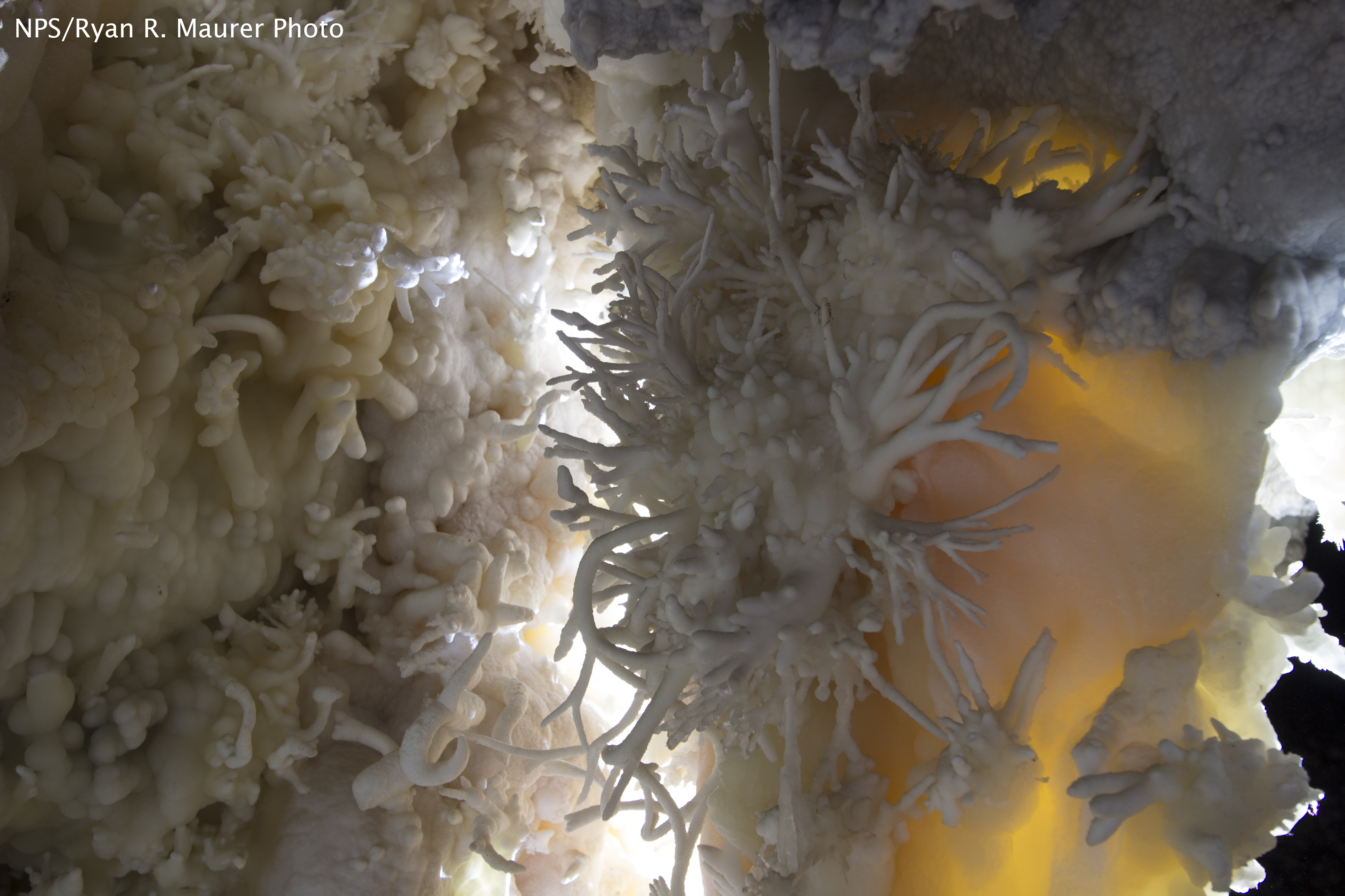
National Monument
The visitor center, caves, and cave tours have not yet opened for the 2026 season. Hike your way past stunning vistas to explore a hidden underground world. Taste the thrill of caving as you twist and...
Park data from the National Park Service API. Alerts update every 2 hours.
This route has a "turn-heavy local drive" profile, with only 4% of the journey on major highways. You'll spend most of your time navigating local roads, including sections of Veterans Memorial Highway, 100 North, and 15950 North. The longest uninterrupted stretch is 69.8 miles on Veterans Memorial Highway, offering a solid block of driving before transitions. Be prepared for frequent turns and changes in road character as you move through different local areas, rather than a sustained interstate experience.
Expect a hands-on drive with frequent turns and local roads rather than long highway stretches. There are only a few real navigation decisions along the way. The trickiest moment comes around 0.4 miles in near US 89 / State Street.
Easy - simple navigation with a manageable amount of wheel time
Balances navigation complexity with total wheel time.
This is a straightforward 2h 1m drive. You will face about 8 decision points, but nothing that requires special attention if you follow navigation.
Where does it get tricky?
The main spots that need attention: at 0.4 miles (US 89 / State Street): Navigation decision point; at 0.6 miles (SR 209 / 9000 South): Lane positioning matters here; at 1.5 miles (I 15 / Veterans Memorial Highway): Merge point - match speed before joining. Lane positioning matters here.
Sandy is a city just south of Salt Lake City in Utah's Wasatch Range. It is one of the major suburbs of Salt Lake City.
City content from Wikivoyage (CC BY-SA 4.0) and Wikidata (CC0).
Weekend Trip
Doable as a same-day drive at 2h 1m. Total distance: 105.3 miles.
Family Friendly
Moderate complexity with 0 natural rest stops along the way.
Solo Traveler
2h 1m drive, comfortable solo distance.
First-Time Driver
Mostly highway driving (4%). Straightforward navigation.
Scenic Drive
Mostly surface roads route profile with national parks nearby.
Compiled by the US Trip Planner planning team at COD Solutions Oy from open government datasets — OSRM over OpenStreetMap for geometry, EIA for fuel prices, and NPS for national parks. See our methodology for refresh cadence and limitations.
Was this helpful?
Thanks for your feedback!
Your tip has been submitted. Thanks!
/500
Recent Tips
·
Explore more options from Sandy, UT or browse trips ending in Ephraim, UT.
Looking for more statewide routes? Browse UT road trips.