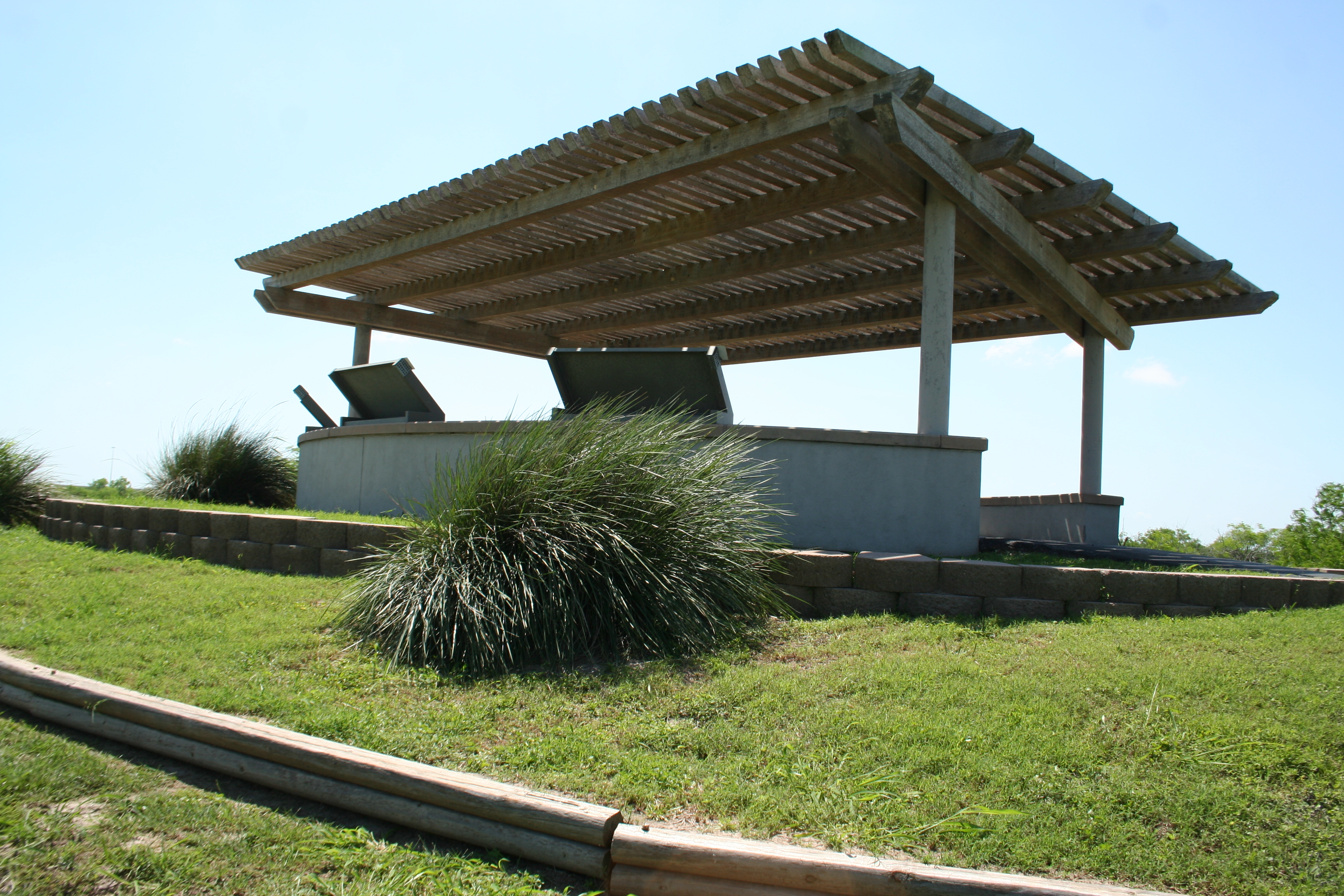
Rest Area
0 mi from route
Compiled and reviewed by the US Trip Planner planning team at COD Solutions Oy · Last reviewed Jul 19, 2026 · Editorial standards
Drive Time
4h 51m
Distance
253.7 mi
408 km
Drive Score
8/10
Great drive
Same Day?
Yes, doable
Fuel Cost
$35
one way
EV Charging
Unknown
Estimated drive times based on typical traffic patterns. Actual times may vary with weather, construction, and real-time conditions.

Rio Hondo, TX
Nacho Monge

San Antonio, TX
Wikimedia Commons
Spanning 257 miles, your journey from Rio Hondo to San Antonio is a manageable trip that takes approximately 3 hours and 53 minutes. Because the entire route remains within the Great Plains region of Texas, you will experience a consistent landscape throughout the duration of your travel. With a fuel budget of about $39, this trek is well-suited for a single day of driving. While it is certainly possible to complete the distance in one go, you might consider how the turn-heavy local roads affect your fatigue levels. This route is best approached as a straightforward, practical transition between two South Texas locations. It offers a no-frills path for those looking to reach San Antonio efficiently without the need for an overnight stop.
Trip Pace
Same-day drive is realistic
A same-day return is possible, but it will make for a full day on the road.
Break Rhythm
1 planned break
Plan on a short reset every 3 to 4 hours to stay fresh behind the wheel.
Midpoint
126.8 miles from Rio Hondo, TX
A natural place for your longest stop of the day , about 2h 30m into the drive .
| Road | Distance | Duration |
|---|---|---|
| US 281 | 123.2 mi | 2h 13m |
| U.S. Highway 77 | 83.8 mi | 1h 33m |
| Nueces Street | 14.7 mi | 18m |
| West King Avenue | 14.5 mi | 17m |
| Combes Rio Hondo Road | 8.5 mi | 11m |
| South 6th Street | 4.4 mi | 7m |
| East Commerce Street | 0.9 mi | 1m |
| Colorado Avenue | 0.7 mi | 1m |
Step-by-step road directions between Rio Hondo, TX and San Antonio, TX.
Start on FM 106
Keep slight right at fork onto West Colorado Avenue
Turn straight onto FM 508
Continue on FM 508
Turn right onto Interstate 69E Frontage Road
Take the ramp
Merge onto I 69E; US 77
Keep slight right at fork
Keep slight right at fork
Turn left onto FM 772
Turn straight onto US 77 Business
Turn left onto TX 141
Take the ramp
Merge onto US 281
Keep slight left at fork onto US 281
Continue on US 281
Take the exit onto US 281
Take the exit
Turn straight onto Interstate 37 South
Turn left onto East Commerce Street
Turn left onto Military Plaza
Turn left onto Dolorosa Street
Arrive at destination
Since this is a turn-heavy, local route, prioritize a departure time that allows you to drive during daylight hours to maintain better visibility on smaller roads. You should plan for at least one dedicated stop to break up the nearly four-hour drive, which helps manage the fatigue that comes with constant maneuvering on local streets. Keep your $39 fuel budget in mind, and consider topping off your tank before you leave Rio Hondo to avoid searching for stations along the more winding sections of the route. Because you are avoiding major highways, be prepared for slower transit speeds than you might expect on a typical 257-mile trip. Staying flexible with your pace is your biggest advantage here, so don't rush the navigation through the local road segments.
Morning Departure
An early start around 7-8 AM gets you there with plenty of daylight left.
Evening Departure
A late afternoon start means arriving after dark. Morning is better.
This is a comfortable same-day trip.
Departure
Before you leave
Start with fuel, water, and navigation already sorted so the first hour feels easy.
First stop
Around 56 miles or 1h 5m in
Use this first pause for coffee, a restroom break, and a quick traffic check ahead.
Halfway reset
Around 126.8 miles or 2h 30m in
This is the best place for your longest stop, a real meal, and a full fuel check.
Final approach
Final hour starts around 4h 2m
Traffic, exits, and arrival timing usually matter more near San Antonio, TX than in the middle of the route.
Open the route before leaving Rio Hondo, TX so your first major turns are already loaded.
Leave with enough water and a charging cable within reach, not packed away.
Check your fuel range against the first long segment, especially if you are starting outside city service areas.
Day 1
Settle into the route from Rio Hondo, TX
This is one driving day of about 253.7 miles and 4h 51m.
Rest stops, refuel points, and overnight suggestions along this route.

Mid-route town
Meal stop
127 mi into the route
Best for: Lunch, fuel, and a longer reset
This sits close to the middle of the route, so it works well for the longest stop of the day.
A short stop after about 56 miles helps settle the day before fatigue starts building.
The midpoint is around 126.8 miles from Rio Hondo, TX, which is a good place for a longer meal and fuel stop.
Before the longest stretch
Fuel checkTop up before US 281 if your tank is already low. That segment runs about 123.2 miles.
These stop ideas are pacing suggestions — the exact town or exit can change with traffic, hotel plans, and fuel range.
Picked by where they fit in your drive — first break, midpoint reset, final stretch.
Near the end, right off the route
San Antonio, Texas
Hours: 9 am–5 pm
+12102077527
Visit websiteNear the end, right off the route
San Antonio, Texas
Hours: 10 am–10 pm
+12102274746
Visit websiteNear the end, right off the route
San Antonio, Texas
Hours: 9–9:30 pm
+12102259800
Visit websiteNear the end, right off the route
San Antonio, Texas
Hours: 5 am–12 pm
+12107094750
Visit websiteNear the end, right off the route
San Antonio, Texas
Hours: 10 am–3:30 pm
+12103907236
Visit websiteNear the end, right off the route
San Antonio, Texas
Hours: 10:30 am–8 pm
+12102242288
Visit websiteNear the end, right off the route
San Antonio, Texas
Hours: 10 am–5 pm
+12106101160
Visit websiteNear the end, right off the route
San Antonio, Texas
Hours: 9 am–10 pm
+12102271373
Visit websitePlace data sourced from public business listings. Hours and availability may vary.
5 decision points cluster between mile 0.7 and 253.6 — GPS handles the exact turns, but know they're coming. Your lane choice matters more than the turn itself.
Keep slight right at fork onto West Colorado Avenue
Highway fork - watch signs carefully
Merge onto I 69E; US 77 / U.S. Highway 77
Merge point - match speed before joining. Lane positioning matters here
Take the exit onto US 281
Exit ramp - move to the correct lane early. Lane positioning matters here
Take the exit toward Commerce Street, Downtown, The Alamo
Exit ramp - move to the correct lane early. Lane positioning matters here. Multiple destination signs - pick the right one
Turn left onto Dolorosa Street
Navigation decision point
Regular Gas
$34.75 one way
$69.50 round trip
| Fuel Type | $/gal | One Way | Round Trip |
|---|---|---|---|
| midgrade | $3.89 | $38.81 | $77.63 |
| premium | $4.23 | $42.20 | $84.40 |
| diesel | $4.80 | $47.90 | $95.81 |
No toll roads detected on this route.
Estimated Trip Cost (one way, 1 person)
Fuel
$35
Meals
$25–$50
Total
$60–$85
Rough estimate based on US averages. Hotel $80–$140/night, meals $25–$50/day.
Estimated CO2 emission: 88.8 kg one way. Prices: EIA weekly data, 2026-07-13.
Driving Electric?
About $27 in charging · 0 stops · 66% less CO2
| Vehicle Type | kWh | Stops | DC Fast | Home Charge |
|---|---|---|---|---|
| Average EV | 76.1 | 0 | $26.64 | $12.18 |
| Efficient EV | 63.4 | 0 | $22.20 | $10.15 |
| EV Truck/SUV | 101.5 | 1 | $35.52 | $16.24 |
Gas CO2
89 kg
EV CO2
30 kg (66% less)
Plan for 0 charging stops, roughly every 270 miles. Allow 25-40 minutes per stop at a DC fast charger.
DC fast charging avg $0.35/kWh. Home charging avg $0.16/kWh. US grid CO2: 0.39 kg/kWh.
Current conditions at both ends of the drive.
Origin
Late night in Rio Hondo on Sunday
Local time
1:43 AM
CDT
Current temp
78°F
Mostly Clear
Flood Warning
Flood Warning issued July 18 at 4:38AM CDT until July 19 at 6:46PM CDT by NWS Austin/San Antonio TX
Flood Warning
Flood Warning issued July 18 at 4:37AM CDT until July 20 at 12:00AM CDT by NWS Austin/San Antonio TX
Destination
Late night in San Antonio on Sunday
Local time
1:43 AM
CDT
Current temp
77°F
Mostly Cloudy
Flood Warning
Flood Warning issued July 18 at 4:38AM CDT until July 19 at 6:46PM CDT by NWS Austin/San Antonio TX
Flood Warning
Flood Warning issued July 18 at 4:37AM CDT until July 20 at 12:00AM CDT by NWS Austin/San Antonio TX
Seasonal Notes
Summer travel usually means heavier construction, hotter rest stops, and busier weekend traffic around major cities.
Winter travel shortens daylight, so a route that looks manageable on paper can feel much longer after dark.
Holiday weekends tend to make both departure and arrival windows slower than the raw route time suggests.
Time zone
Origin and destination are on the same clock, so arrival timing is easier to judge at a glance.
Temperature spread
A meaningful temperature swing is a good cue to rethink layers, water, and how soon you want to arrive.
Road read
An early start around 7-8 AM gets you there with plenty of daylight left.
Weather data from the National Weather Service. Conditions may change; check closer to your travel date.
Worth a detour if your schedule allows.

National Historical Park
Welcome to San Antonio Missions, a National Park Service site and the only UNESCO World Heritage Site in Texas. Each mission in the park is a center of community and has been since the early 1700s. Th...
National Historical Park
On May 8, 1846, U.S. and Mexican troops clashed on the prairie of Palo Alto. The battle was the first in a two-year long war that changed the map of North America. Although the two countries have deve...
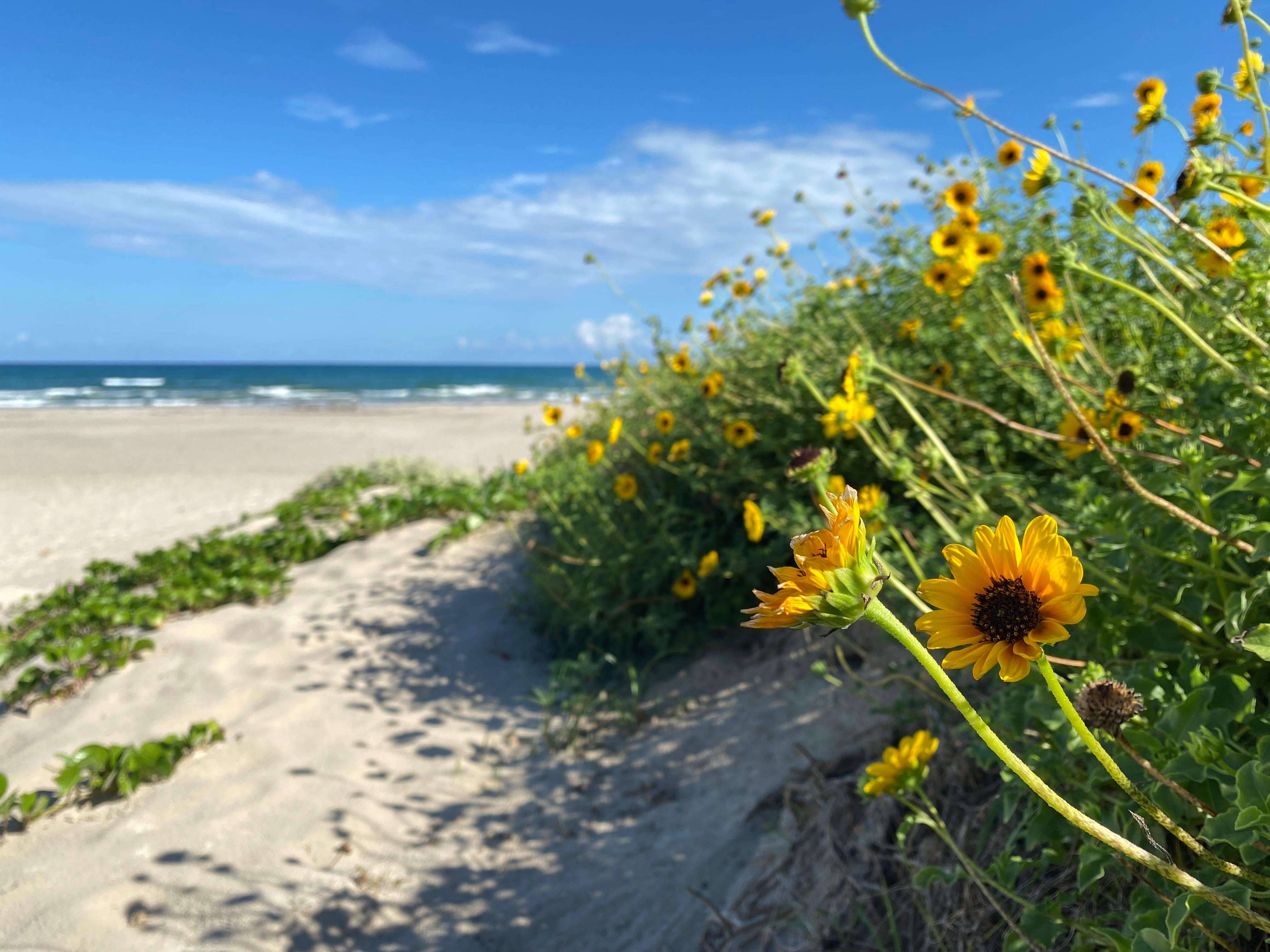
National Seashore
Protecting sixty-six miles of wild coastline along the Gulf of America, the narrow barrier island is home to one of the last intact coastal prairie habitats in the United States. Along the hypersaline...
Park data from the National Park Service API. Alerts update every 2 hours.
Expect a very different experience than a standard interstate cruise, as this route is defined by a turn-heavy, local road profile. You will navigate via West Colorado Avenue, Combes Rio Hondo Road, and Templeton Street rather than relying on high-speed expressways. With a highway share of 0%, this drive demands your full attention as you navigate local thoroughfares rather than setting cruise control on a monotonous slab of asphalt. The road's personality is technical and winding, requiring you to stay alert through every turn. You will find that the lack of highway stretches makes the 257-mile distance feel more involved and hands-on than a typical long-distance commute.
This is a straightforward highway drive that stays mostly on US 281 and U.S. Highway 77. This route has several spots where lane changes, forks, or exits need your full attention. The trickiest moment comes around 0.7 miles in near West Colorado Avenue.
Demanding - plan breaks and stay ahead of the key maneuvers
Balances navigation complexity with total wheel time.
This is a demanding drive. With 15 significant decision points across 253.7 miles, you will need to stay alert - especially through interchange areas and urban stretches. Consider splitting it into segments if you are not comfortable with fast highway navigation.
Where does it get tricky?
The main spots that need attention: at 0.7 miles (West Colorado Avenue): Highway fork - watch signs carefully; at 10.1 miles (I 69E; US 77 / U.S. Highway 77): Merge point - match speed before joining. Lane positioning matters here; at 183.5 miles (US 281): Exit ramp - move to the correct lane early. Lane positioning matters here.
Mostly flat terrain
Total Climb
742 ft
Total Descent
118 ft
Highest Point
649 ft
~253.7 mi in
Elevation Range
625 ft
Founded 1718
San Antonio is the second largest city in the state of Texas and the 7th largest in the United States. It's the 24th largest metropolitan area in the country. Visited by more than 31 million annual visitors, San Antonio is a beautiful city at the axis of three different geological terrains: Hill Country, South Texas Plains and Prairie and Lakes. There's a lot to do in this city: fine art museums, historical missions and plenty of amusement parks in addition to great dining and lots of drinking. The culture and people are vibrant and interesting. San Antonio's downtown is one of the most lively in the nation.
Top landmarks
City content from Wikivoyage (CC BY-SA 4.0) and Wikidata (CC0).
Weekend Trip
Doable as a same-day drive at 4h 51m. Total distance: 253.7 miles.
Family Friendly
Moderate complexity with 1 natural rest stops along the way.
Solo Traveler
4h 51m drive, comfortable solo distance.
First-Time Driver
Mostly highway driving (82%). Some complex stretches to watch for.
Compiled by the US Trip Planner planning team at COD Solutions Oy from open government datasets — OSRM over OpenStreetMap for geometry, EIA for fuel prices, USGS 3DEP for elevation, and NPS for national parks. See our methodology for refresh cadence and limitations.
Was this helpful?
Thanks for your feedback!
Your tip has been submitted. Thanks!
/500
Recent Tips
·
Explore more options from Rio Hondo, TX or browse trips ending in San Antonio, TX.
Looking for more statewide routes? Browse TX road trips.