Rest Area
0 mi from route
Compiled and reviewed by the US Trip Planner planning team at COD Solutions Oy · Last reviewed Jul 19, 2026 · Editorial standards
Drive Time
6h 50m
Distance
362.9 mi
584 km
Drive Score
9/10
Great drive
Same Day?
Yes, doable
Fuel Cost
$50
one way
EV Charging
Unknown
Estimated drive times based on typical traffic patterns. Actual times may vary with weather, construction, and real-time conditions.

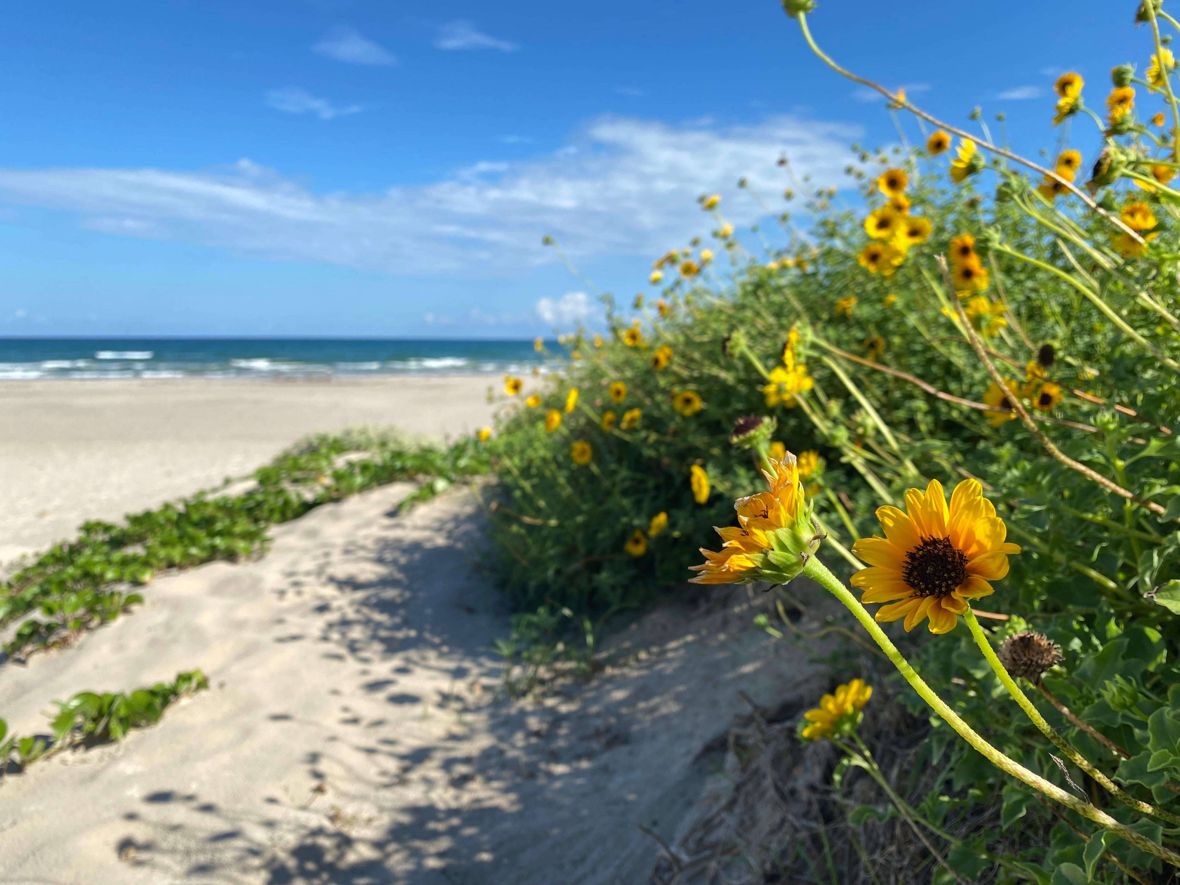
Port Isabel, TX
Griffin Wooldridge

Austin, TX
Wikimedia Commons
This 362.9-mile drive from Port Isabel, TX to Austin, TX will take approximately 6 hours and 50 minutes, making it a feasible day trip. You'll primarily travel on US 281 and U.S. Highway 77, with a portion on the Purple Heart Trail. With a highway share of 71%, expect a highway-focused experience. The estimated fuel cost for this journey is around $55. Both your origin and destination are within the Great Plains region, so you won't be crossing major geographic boundaries on this relatively straightforward Texas traverse. This route is best suited for a single-day adventure, allowing you to reach Austin without needing an overnight stop.
Trip Pace
Same-day drive is realistic
A same-day return is possible, but it will make for a full day on the road.
Break Rhythm
1 planned break
Plan on a short reset every 3 to 4 hours to stay fresh behind the wheel.
Midpoint
181.5 miles from Port Isabel, TX
A natural place for your longest stop of the day , about 3h 29m into the drive .
| Road | Distance | Duration |
|---|---|---|
| US 281 | 115.2 mi | 2h 4m |
| U.S. Highway 77 | 102 mi | 1h 53m |
| Purple Heart Trail | 58.6 mi | 1h 3m |
| Nueces Street | 14.7 mi | 18m |
| West King Avenue | 14.5 mi | 17m |
| TX 48 | 14.1 mi | 15m |
| Connally Loop | 10.6 mi | 12m |
| North Pan Am Expressway | 10.2 mi | 11m |
Hour-of-day weekday pattern from 14 FHWA count stations on your route.
Peak
3 PM
~4,203 veh/hr typical
Quietest
3 AM
~766 veh/hr
Peak-to-quiet ratio
5.5×
busier at peak than in the quiet hours
Averaged across 51 weeks of 2023 FHWA Travel Monitoring Analysis System data. Weekday hours only (Mon–Fri).
Step-by-step road directions between Port Isabel, TX and Austin, TX.
Start on South Musina Street
Turn left onto TX 100
Turn straight onto TX 100
Turn left onto TX 48
Take the exit
Keep slight right at fork
Turn right onto TX 550 Toll
Continue on FM 511
Continue on I 169; TX 550 Toll
Continue on I 169; TX 550 Toll
Merge onto I 69E; US 77; US 83
Continue on I 69E; US 77; US 83
Keep slight right at fork
Keep slight right at fork
Turn left onto FM 772
Turn straight onto US 77 Business
Turn left onto TX 141
Take the ramp
Merge onto US 281
Keep slight left at fork onto US 281
Continue on US 281
Take the exit onto US 281
Take the exit
Keep slight right at fork
Merge onto I 410; TX 130
Merge onto I 35; I 410
Keep slight left at fork onto North Pan Am Expressway
Continue on I 35
Continue on I 35
Continue on I 35
Take the exit
Turn left onto East 6th Street
Turn left onto Congress Avenue
Turn left onto East 5th Street
Arrive at destination
For this 362.9-mile trip, departing Port Isabel early in the morning is advisable to maximize daylight and arrive in Austin with time to spare. The recommended single-day duration means you'll want to plan for one significant stop, perhaps around the halfway point or where you transition onto US 281. Be mindful of the longest stretch of 115.2 miles on US 281; ensure you have adequate fuel before embarking on this segment. With a $55 fuel cost estimate, keeping an eye on your gauge is practical. Since this is a manageable drive, you have flexibility, but planning your fuel and a brief rest stop will make the 6 hours and 50 minutes more comfortable.
Morning Departure
Start early — leave by 6-7 AM to arrive at a reasonable hour.
Evening Departure
This is a long drive — plan for a morning departure or consider splitting it into two days.
This is a comfortable same-day trip.
Departure
Before you leave
Start with fuel, water, and navigation already sorted so the first hour feels easy.
First stop
Around 80 miles or 1h 30m in
Use this first pause for coffee, a restroom break, and a quick traffic check ahead.
Halfway reset
Around 181.5 miles or 3h 29m in
This is the best place for your longest stop, a real meal, and a full fuel check.
Final approach
Final hour starts around 5h 44m
Traffic, exits, and arrival timing usually matter more near Austin, TX than in the middle of the route.
Open the route before leaving Port Isabel, TX so your first major turns are already loaded.
Leave with enough water and a charging cable within reach, not packed away.
Check your fuel range against the first long segment, especially if you are starting outside city service areas.
Day 1
Settle into the route from Port Isabel, TX
This is one driving day of about 362.9 miles and 6h 50m.
Rest stops, refuel points, and overnight suggestions along this route.

Mid-route town
Meal stop
181 mi into the route
Best for: Lunch, fuel, and a longer reset
This sits close to the middle of the route, so it works well for the longest stop of the day.
A short stop after about 80 miles helps settle the day before fatigue starts building.
The midpoint is around 181.5 miles from Port Isabel, TX, which is a good place for a longer meal and fuel stop.
Before the longest stretch
Fuel checkTop up before US 281 if your tank is already low. That segment runs about 115.2 miles.
These stop ideas are pacing suggestions — the exact town or exit can change with traffic, hotel plans, and fuel range.
Picked by where they fit in your drive — first break, midpoint reset, final stretch.
Near the end, right off the route
Austin, Texas
Hours: 9 am–10 pm
Visit websiteNear the start, right off the route
Port Isabel, Texas
Hours: Open 24 hours
+19569437437
Visit websiteNear the start, right off the route
Port Isabel, Texas
Hours: 10 am–4 pm
+19569437602
Visit websiteNear the end, right off the route
New Braunfels, Texas
Hours: 10 am–6 pm
+18304024603
Visit websiteNear the start, right off the route
Port Isabel, Texas
Hours: 10 am–4 pm
+19569437602
Visit websiteNear the start, short detour
South Padre Island, Texas
Hours: 10 am–8 pm
+19567614243
Visit websiteNear the start, short detour
South Padre Island, Texas
Hours: 7 am–6 pm
+19567614752
Visit websiteNear the end, short detour
Austin, Texas
Hours: 9 am–5 pm
Place data sourced from public business listings. Hours and availability may vary.
5 decision points cluster between mile 15.6 and 362.2 — GPS handles the exact turns, but know they're coming. Your lane choice matters more than the turn itself.
Keep slight right at fork toward TX 550
Highway fork - watch signs carefully. Lane positioning matters here
Take the exit toward I 410, TX 130, US 281 South
Exit ramp - move to the correct lane early. Lane positioning matters here. Multiple destination signs - pick the right one
Keep slight right at fork toward I 410 North, TX 130 North
Highway fork - watch signs carefully. Lane positioning matters here. Multiple destination signs - pick the right one
Keep slight left at fork onto North Pan Am Expressway toward I 35: Austin
Highway fork - watch signs carefully. Lane positioning matters here
Take the exit toward 6th - 12th Streets
Exit ramp - move to the correct lane early. Lane positioning matters here
Regular Gas
$49.71 one way
$99.41 round trip
| Fuel Type | $/gal | One Way | Round Trip |
|---|---|---|---|
| midgrade | $3.89 | $55.52 | $111.04 |
| premium | $4.23 | $60.36 | $120.73 |
| diesel | $4.80 | $68.52 | $137.04 |
No toll roads detected on this route.
Estimated Trip Cost (one way, 1 person)
Fuel
$50
Meals
$25–$50
Total
$75–$100
Rough estimate based on US averages. Hotel $80–$140/night, meals $25–$50/day.
Estimated CO2 emission: 127 kg one way. Prices: EIA weekly data, 2026-07-13.
Driving Electric?
About $38 in charging · 1 stop · 67% less CO2
| Vehicle Type | kWh | Stops | DC Fast | Home Charge |
|---|---|---|---|---|
| Average EV | 108.9 | 1 | $38.10 | $17.42 |
| Efficient EV | 90.7 | 1 | $31.75 | $14.52 |
| EV Truck/SUV | 145.2 | 1 | $50.81 | $23.23 |
Gas CO2
127 kg
EV CO2
42 kg (67% less)
Plan for 1 charging stop. A 30-minute DC fast charge mid-route should be enough to complete the trip comfortably.
DC fast charging avg $0.35/kWh. Home charging avg $0.16/kWh. US grid CO2: 0.39 kg/kWh.
Current conditions at both ends of the drive.
Origin
Night in Port Isabel on Saturday
Local time
11:16 PM
CDT
Current temp
81°F
Mostly Cloudy
Flash Flood Warning
Flash Flood Warning issued July 17 at 2:45AM CDT until July 17 at 7:00AM CDT by NWS Austin/San Antonio TX
Flood Watch
Flood Watch issued July 17 at 1:45AM MDT until July 17 at 6:00PM MDT by NWS Midland/Odessa TX
Destination
Night in Austin on Saturday
Local time
11:16 PM
CDT
Current temp
75°F
Mostly Cloudy
Flash Flood Warning
Flash Flood Warning issued July 17 at 2:45AM CDT until July 17 at 7:00AM CDT by NWS Austin/San Antonio TX
Flood Watch
Flood Watch issued July 17 at 1:45AM MDT until July 17 at 6:00PM MDT by NWS Midland/Odessa TX
Seasonal Notes
Summer travel usually means heavier construction, hotter rest stops, and busier weekend traffic around major cities.
Winter travel shortens daylight, so a route that looks manageable on paper can feel much longer after dark.
Holiday weekends tend to make both departure and arrival windows slower than the raw route time suggests.
Time zone
Origin and destination are on the same clock, so arrival timing is easier to judge at a glance.
Temperature spread
A meaningful temperature swing is a good cue to rethink layers, water, and how soon you want to arrive.
Road read
Start early — leave by 6-7 AM to arrive at a reasonable hour.
Weather data from the National Weather Service. Conditions may change; check closer to your travel date.
Worth a detour if your schedule allows.
National Historical Park
On May 8, 1846, U.S. and Mexican troops clashed on the prairie of Palo Alto. The battle was the first in a two-year long war that changed the map of North America. Although the two countries have deve...

National Historical Park
Welcome to San Antonio Missions, a National Park Service site and the only UNESCO World Heritage Site in Texas. Each mission in the park is a center of community and has been since the early 1700s. Th...
National Seashore
Protecting sixty-six miles of wild coastline along the Gulf of America, the narrow barrier island is home to one of the last intact coastal prairie habitats in the United States. Along the hypersaline...
Park data from the National Park Service API. Alerts update every 2 hours.
This drive offers a highway-focused profile, with 71% of the journey utilizing major roadways. You'll experience a significant stretch of 115.2 miles on US 281, providing an extended period of consistent travel. While predominantly highway, the route incorporates U.S. Highway 77 and the Purple Heart Trail, offering some variation. The character is likely one of steady progress, punctuated by the transitions between these main arteries. Expect a driving experience that prioritizes covering distance efficiently, rather than winding scenic byways, allowing you to maintain a good pace for most of the 6 hours and 50 minutes.
This is a straightforward highway drive that stays mostly on US 281 and U.S. Highway 77. This route has several spots where lane changes, forks, or exits need your full attention. The trickiest moment comes around 15.6 miles in.
High effort - long or complex enough to need steady focus all day
Balances navigation complexity with total wheel time.
This is a demanding drive. With 23 significant decision points across 362.9 miles, you will need to stay alert - especially through interchange areas and urban stretches. Consider splitting it into segments if you are not comfortable with fast highway navigation.
Where does it get tricky?
The main spots that need attention: at 15.6 miles: Highway fork - watch signs carefully. Lane positioning matters here; at 280.3 miles: Exit ramp - move to the correct lane early. Lane positioning matters here. Multiple destination signs - pick the right one; at 280.5 miles: Highway fork - watch signs carefully. Lane positioning matters here. Multiple destination signs - pick the right one.
Mostly flat terrain
Total Climb
844 ft
Total Descent
366 ft
Highest Point
693 ft
~311.1 mi in
Elevation Range
685 ft
The City of Port Isabel, population 6,300 in 2019, is the southernmost city and port on the Texas coast. It is a tourism, retirement, sports fishing and commercial fishing destination and the gateway to South Padre Island.
Top landmarks
“City of the Violet Crown” · Founded 1835
Austin is a city of about 1,054,000 (2026) surpassing Fort Worth to become the 4th most populous city in Texas. It is on the southeast edge of the Hill Country region of Texas, making it the fourth-largest city in the state and the 11th-largest in the country. It is the capital of Texas and a college town, and also a center of an alternative culture away from the major cities on the US coasts, though the city is rapidly gentrifying with its rising popularity. Austin's attitude is commonly emblazoned about town on T-shirts and bumper stickers that read: "Keep Austin Weird." Austin is also marketed as the Live Music Capital of the World due to the large number of venues.
Top landmarks
City content from Wikivoyage (CC BY-SA 4.0) and Wikidata (CC0).
Weekend Trip
Doable as a same-day drive at 6h 50m. Total distance: 362.9 miles.
Family Friendly
Moderate complexity with 1 natural rest stops along the way.
Solo Traveler
6h 50m drive, plan rest stops for pacing.
Compiled by the US Trip Planner planning team at COD Solutions Oy from open government datasets — OSRM over OpenStreetMap for geometry, EIA for fuel prices, USGS 3DEP for elevation, NPS for national parks, and FHWA TMAS for hourly traffic volumes. See our methodology for refresh cadence and limitations.
Was this helpful?
Thanks for your feedback!
Your tip has been submitted. Thanks!
/500
Recent Tips
·
Explore more options from Port Isabel, TX or browse trips ending in Austin, TX.
Looking for more statewide routes? Browse TX road trips.