Origin
North Charleston, SC
Morning in North Charleston on Sunday
Local time
6:03 AM
EDT
Current temp
84°F
Unavailable
Live forecast
Compiled and reviewed by the US Trip Planner planning team at COD Solutions Oy · Last reviewed Apr 19, 2026 · Editorial standards
Drive Time
1h 35m
Distance
69.7 mi
112 km
Drive Score
9/10
Great drive
Same Day?
Yes, doable
Fuel Cost
$11
one way
EV Charging
Unknown
Estimated drive times based on typical traffic patterns. Actual times may vary with weather, construction, and real-time conditions.

North Charleston, SC
Wikimedia Commons

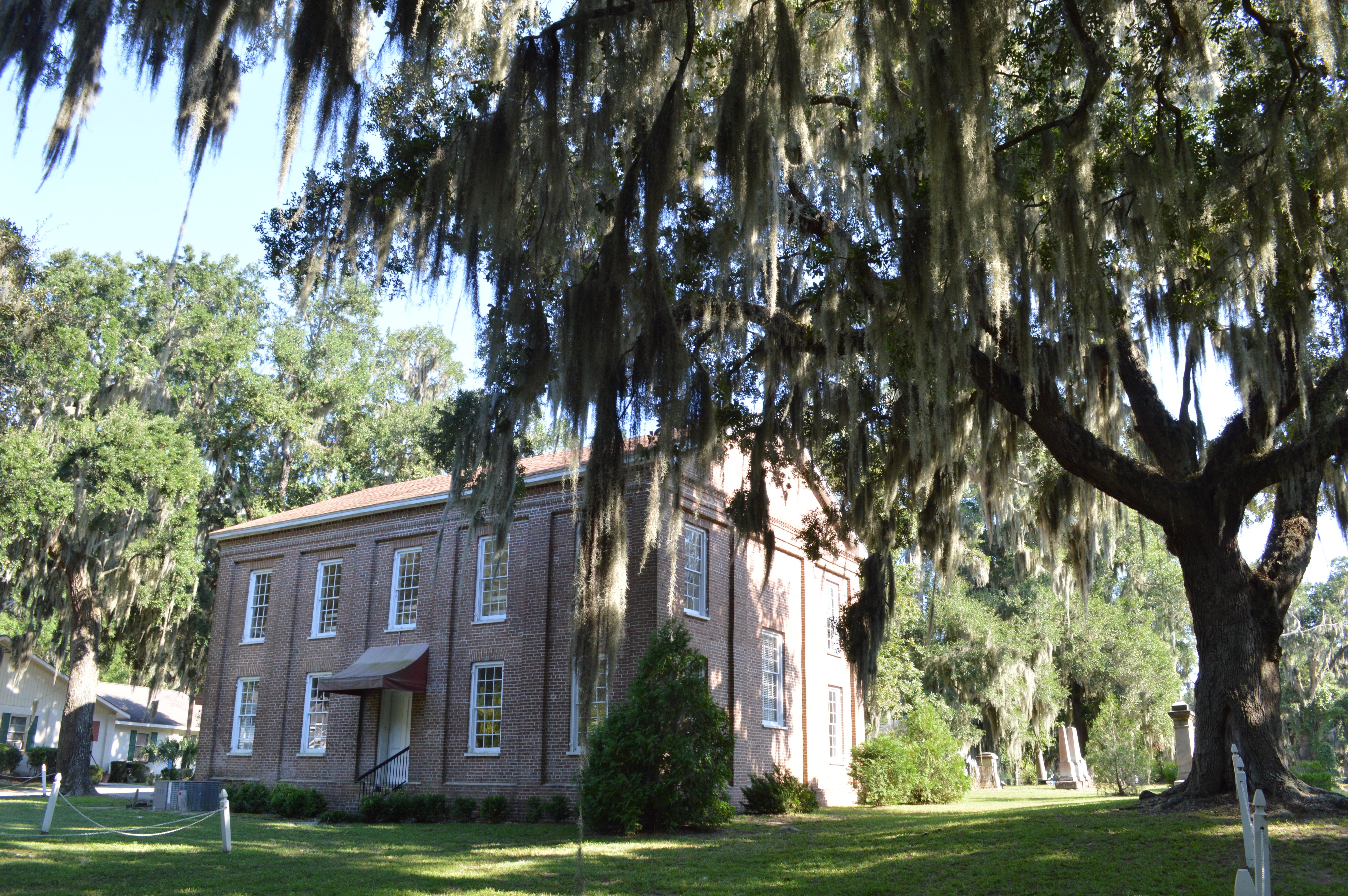
Beaufort, SC
Wikimedia Commons
North Charleston, SC to Beaufort, SC is 69.7 miles and takes about 1h 35m via Savannah Highway, Ace Basin Parkway, and Trask Parkway, with a fuel budget near $11 and enough daylight to finish in a day. This trip stays within South Carolina, traveling through the Southeast region. Expect a mixed drive that's manageable for a single day, offering a straightforward journey between these two points. It's a relatively short distance, making it a convenient option for a quick getaway or a segment of a larger road trip.
Trip Pace
Same-day drive is realistic
A same-day return is realistic if you keep stops short.
Midpoint
34.9 miles from North Charleston, SC
A natural place for your longest stop of the day , about 49m into the drive .
| Road | Distance | Duration |
|---|---|---|
| Savannah Highway | 25.2 mi | 34m |
| Ace Basin Parkway | 17.1 mi | 22m |
| Trask Parkway | 12 mi | 14m |
| Charleston Highway | 5.6 mi | 7m |
| Sam Rittenberg Boulevard | 3.8 mi | 6m |
| Boundary Street | 3 mi | 4m |
| Cosgrove Avenue | 2 mi | 3m |
| Carteret Street | 0.5 mi | <1m |
Step-by-step road directions between North Charleston, SC and Beaufort, SC.
Start on US 52; US 78
Turn left onto SC 7
Continue on SC 7
Keep slight right at fork onto SC 7
Turn right onto US 17
Continue on US 17
Continue on US 17
Take the exit
Enter roundabout onto Trask Parkway
Continue on Trask Parkway
Continue on US 21
Continue on US 21 Business
Turn left onto Port Republic Street
Arrive at destination
Given the drive's duration of under two hours, you have a lot of flexibility with departure times. Leaving anytime in the morning or early afternoon should allow ample time to reach Beaufort before evening. With only 69.7 miles, you likely won't need many stops, but keep an eye on your fuel gauge, especially before entering longer stretches like the 25.2 miles on Savannah Highway. The fuel cost is estimated at just $11, so a quick top-off if needed is budget-friendly.
Morning Departure
Leave by 9 AM and you'll arrive before lunch.
Evening Departure
Even a 4 PM departure gets you there before dark in summer.
This is a comfortable same-day trip.
Departure
Before you leave
Start with fuel, water, and navigation already sorted so the first hour feels easy.
First stop
Around 15 miles or 22m in
Use this first pause for coffee, a restroom break, and a quick traffic check ahead.
Halfway reset
Around 34.9 miles or 49m in
This is the best place for your longest stop, a real meal, and a full fuel check.
Final approach
Final hour starts around 1h 21m
Traffic, exits, and arrival timing usually matter more near Beaufort, SC than in the middle of the route.
Open the route before leaving North Charleston, SC so your first major turns are already loaded.
Day 1
Settle into the route from North Charleston, SC
This is one driving day of about 69.7 miles and 1h 35m.
Rest stops, refuel points, and overnight suggestions along this route.

Mid-route town
Meal stop
35 mi into the route
Best for: Lunch, fuel, and a longer reset
This sits close to the middle of the route, so it works well for the longest stop of the day.
A short stop after about 15 miles helps settle the day before fatigue starts building.
The midpoint is around 34.9 miles from North Charleston, SC, which is a good place for a longer meal and fuel stop.
These stop ideas are pacing suggestions — the exact town or exit can change with traffic, hotel plans, and fuel range.
5 decision points cluster between mile 2.9 and 69.7 — GPS handles the exact turns, but know they're coming. Your lane choice matters more than the turn itself.
Keep slight right at fork onto SC 7 / Sam Rittenberg Boulevard
Highway fork - watch signs carefully
Turn right onto US 17 / Savannah Highway
Lane positioning matters here
Take the exit
Exit ramp - move to the correct lane early
Enter roundabout onto Trask Parkway
Roundabout - know your exit number before entering
Turn left onto Port Republic Street
Navigation decision point
Regular Gas
$10.90 one way
$21.80 round trip
| Fuel Type | $/gal | One Way | Round Trip |
|---|---|---|---|
| midgrade | $4.34 | $11.92 | $23.84 |
| premium | $4.70 | $12.90 | $25.80 |
| diesel | $5.61 | $15.39 | $30.78 |
No toll roads detected on this route.
Estimated Trip Cost (one way, 1 person)
Fuel
$11
Meals
$25–$50
Total
$36–$61
Rough estimate based on US averages. Hotel $80–$140/night, meals $25–$50/day.
Estimated CO2 emission: 24.4 kg one way. Prices: EIA weekly data, 2026-04-13.
Driving Electric?
About $7 in charging · 0 stops · 67% less CO2
| Vehicle Type | kWh | Stops | DC Fast | Home Charge |
|---|---|---|---|---|
| Average EV | 20.9 | 0 | $7.32 | $3.35 |
| Efficient EV | 17.4 | 0 | $6.10 | $2.79 |
| EV Truck/SUV | 27.9 | 0 | $9.76 | $4.46 |
Gas CO2
24 kg
EV CO2
8 kg (67% less)
This trip is well within single-charge range for most EVs. No charging stops needed if you start fully charged.
DC fast charging avg $0.35/kWh. Home charging avg $0.16/kWh. US grid CO2: 0.39 kg/kWh.
Current conditions at both ends of the drive.
Origin
Morning in North Charleston on Sunday
Local time
6:03 AM
EDT
Current temp
84°F
Unavailable
Destination
Morning in Beaufort on Sunday
Local time
6:03 AM
EDT
Current temp
84°F
Unavailable
Seasonal Notes
Summer travel usually means heavier construction, hotter rest stops, and busier weekend traffic around major cities.
Winter travel shortens daylight, so a route that looks manageable on paper can feel much longer after dark.
Holiday weekends tend to make both departure and arrival windows slower than the raw route time suggests.
Time zone
Origin and destination are on the same clock, so arrival timing is easier to judge at a glance.
Temperature spread
Both ends of the route are sitting at about the same temperature right now.
Road read
Use the two city cards together: check the sky where you start, then compare it with the local time and temperature at arrival.
Weather data from the National Weather Service. Conditions may change; check closer to your travel date.
Worth a detour if your schedule allows.
National Historical Park
The Reconstruction era,1861-1900 the historic period in which the United States grappled with the question of how to integrate millions of newly freed African Americans into social, political, economi...

National Historical Park
Two forts stand at the entrance of Charleston Harbor. Patriots inside a palmetto log fort, later named Fort Moultrie, defeated the Royal Navy in 1776. As Charleston blazed a path towards secession to...
Park data from the National Park Service API. Alerts update every 2 hours.
This route presents a mixed drive, with 42% on highways. You'll experience a longest stretch of 25.2 miles on Savannah Highway, offering a sustained period on this main artery. The drive will likely transition between faster-paced highway sections and potentially slower, more local road segments as you progress. This variety means you won't be stuck in monotonous driving for the entire trip.
This route mixes highway mileage with some local-road sections near the start or finish. Navigation is very simple - set it and forget it for most of the drive. The trickiest moment comes around 2.9 miles in near SC 7 / Sam Rittenberg Boulevard.
Very easy - short and simple to drive
Balances navigation complexity with total wheel time.
The drive from North Charleston, SC to Beaufort, SC is easy. At 1h 35m with 42% highway, most drivers will find it relaxed and low-stress.
Where does it get tricky?
The main spots that need attention: at 2.9 miles (SC 7 / Sam Rittenberg Boulevard): Highway fork - watch signs carefully; at 6 miles (US 17 / Savannah Highway): Lane positioning matters here; at 53.9 miles: Exit ramp - move to the correct lane early.
North Charleston is in the Greater Charleston area. It is the third largest city in South Carolina with a lot of muscle in terms of commerce and consumerism.
City content from Wikivoyage (CC BY-SA 4.0) and Wikidata (CC0).
Weekend Trip
Doable as a same-day drive at 1h 35m. Total distance: 69.7 miles.
Family Friendly
Moderate complexity with 0 natural rest stops along the way.
Solo Traveler
1h 35m drive, comfortable solo distance.
First-Time Driver
Mostly highway driving (42%). Straightforward navigation.
Scenic Drive
Mixed highway & surface route profile with national parks nearby.
Compiled by the US Trip Planner planning team at COD Solutions Oy from open government datasets — OSRM over OpenStreetMap for geometry, EIA for fuel prices, and NPS for national parks. See our methodology for refresh cadence and limitations.
Was this helpful?
Thanks for your feedback!
Your tip has been submitted. Thanks!
/500
Recent Tips
·
Explore more options from North Charleston, SC or browse trips ending in Beaufort, SC.
Looking for more statewide routes? Browse SC road trips.