Traveling from Maryvale to Tombstone covers 193.4 miles through the heart of the Desert Southwest. Expect the journey to take approximately 3 hours and 39 minutes, making it a manageable single-day excursion for most travelers. You will primarily navigate via the Phoenix-Casa Grande Highway, the Casa Grande-Tucson Highway, and the Tucson-Benson Highway. With a fuel budget of about $38, this trip is quite economical for a solo traveler or a small group. Whether you are heading out for a quick weekend getaway or a focused day trip, the route is straightforward enough to handle in one go without needing an overnight stay. It serves as a practical transition between the urban bustle of the Phoenix area and the historic character of Southern Arizona.
Trip Pace
Same-day drive is realistic
A same-day return is realistic if you keep stops short.
Break Rhythm
1 planned break
A short stop every 2 to 3 hours is enough for this drive.
Midpoint
96.7 miles from Maryvale, AZ
A natural place for your longest stop of the day
, about 1h 45m into the drive
.
Main Roads
Road
Distance
Duration
Casa Grande-Tucson Highway
54.6 mi
55m
Tucson-Benson Highway
42.9 mi
44m
Phoenix-Casa Grande Highway
37.8 mi
38m
AZ 80
23.7 mi
35m
Maricopa Freeway
12.3 mi
14m
Papago Freeway
9.3 mi
10m
North Freeway
6.1 mi
6m
North 51st Avenue
2.3 mi
4m
Longest stretch:
Casa Grande-Tucson Highway
— 54.6 mi, about 55m
Turn-by-Turn Driving Directions
Step-by-step road directions between Maryvale, AZ and Tombstone, AZ.
1
Start on North 55th Avenue
0.5 mi·1 min·North 55th Avenue
2
Turn left onto West Indian School Road
0.5 mi·1 min·West Indian School Road
3
Turn right onto North 51st Avenue
2.3 mi·4 min·North 51st Avenue
4
Turn left
0.4 mi·58 sec
Toward I 10 East: TucsonUse the left lane.
5
Merge onto I 10
4.9 mi·5 min·Papago Freeway
Use the straight / slight right lanes.
6
Continue on I 10
0.5 mi·35 sec·Dean Lindsey Memorial Tunnel
7
Continue on I 10
3.2 mi·3 min·Papago Freeway
Use the straight / slight right lanes.
8
Keep slight left at fork onto I 10
1.2 mi·1 min·Papago Freeway
Use the straight / slight right lanes.
9
Merge onto I 10; US 60
12 mi·14 min·Maricopa Freeway
Use the straight / slight right lanes.
10
Continue on I 10
38 mi·38 min·Phoenix-Casa Grande Highway
Use the straight / slight right lanes.
11
Continue on I 10
55 mi·55 min·Casa Grande-Tucson Highway
Use the straight / slight right lanes.
12
Continue on I 10
6.1 mi·6 min·North Freeway
Use the straight / slight right lanes.
13
Continue on I 10
43 mi·44 min·Tucson-Benson Highway
Use the straight / slight right lanes.
14
Take the exit onto I 10 Business
0.3 mi·34 sec·I 10 Business
Exit 303Toward I 10 Business: Tombstone, Douglas
15
Continue on I 10 Bus; US 80 Hist
2.1 mi·3 min·I 10 Bus; US 80 Hist
Toward I 10 BUS, AZ 80: Benson, Douglas
16
Turn slight right onto AZ 80; US 80 Hist
0.1 mi·26 sec·AZ 80; US 80 Hist
17
Keep slight right at fork onto AZ 80; US 80 Hist
24 mi·35 min·AZ 80; US 80 Hist
18
Turn right onto North 4th Street
0.1 mi·27 sec·North 4th Street
19
Turn right
295 ft·21 sec
20
Arrive at destination
Trip Plan
To make the most of your 3-hour and 39-minute drive, plan for at least one dedicated stop to stretch your legs and refuel. Since the route involves a high volume of local, turn-heavy roads, departing early in the day helps you navigate these sections with better visibility and less traffic. Keep your budget of $38 for fuel in mind, and consider topping off your tank before leaving the Phoenix area to avoid potential price fluctuations in more remote stretches. Because the entire route is intended to be completed in a single day, you have the flexibility to pace yourself comfortably. A key tip for this specific path is to prioritize your map navigation during the local road segments, as the frequent turns can be easy to miss if you aren't paying close attention to your route cues.
Morning Departure
An early start around 7-8 AM gets you there with plenty of daylight left.
Evening Departure
A late afternoon start means arriving after dark. Morning is better.
You can normally do this drive in one day.
Plan roughly 1 meaningful break for fuel, food, and rest.
The halfway point lands around 96.7 miles from Maryvale, AZ, or about 1h 45m into the drive.
The longest continuous stretch on this route runs about 54.6 miles.
This is a comfortable same-day trip.
Departure
Before you leave
Start with fuel, water, and navigation already sorted so the first hour feels easy.
First stop
Around 43 miles or 50m in
Use this first pause for coffee, a restroom break, and a quick traffic check ahead.
Halfway reset
Around 96.7 miles or 1h 45m in
This is the best place for your longest stop, a real meal, and a full fuel check.
Final approach
Final hour starts around 2h 49m
Traffic, exits, and arrival timing usually matter more near Tombstone, AZ than in the middle of the route.
Before You Leave
+
Open the route before leaving Maryvale, AZ so your first major turns are already loaded.
+
Leave with enough water and a charging cable within reach, not packed away.
+
Check your fuel range against the first long segment, especially if you are starting outside city service areas.
Day 1
Settle into the route from Maryvale, AZ
This is one driving day of about 193.4 miles and 3h 39m.
Your first comfortable stop window is around 43 miles from Maryvale, AZ.
This route can stay practical as a one-day drive if traffic stays reasonable.
Plan about 1 real break rather than only quick fuel stops.
The longest stretch is on Casa Grande-Tucson Highway for about 54.6 miles.
Where to Stop
Rest stops, refuel points, and overnight suggestions along this route.
Place data sourced from public business listings. Hours and availability may vary.
Heads-up: tricky spots
5 of 10
5 decision points cluster between mile 3.2 and 167.2 — GPS handles the exact turns, but know they're coming. Your lane choice matters more than the turn itself.
7
3.2 mi into trip|~6m in
Turn left toward I 10 East: Tucson
Lane positioning matters here
Use the left lane.
Toward I 10 East: Tucson
5
3.7 mi into trip|~7m in|I 10 / Papago Freeway
Merge onto I 10 / Papago Freeway
Merge point - match speed before joining. Lane positioning matters here
Use the straight / slight right lanes.
6
12.2 mi into trip|~17m in|I 10 / Papago Freeway
Keep slight left at fork onto I 10 / Papago Freeway
Highway fork - watch signs carefully. Lane positioning matters here
Use the straight / slight right lanes.
5
13.5 mi into trip|~18m in|I 10; US 60 / Maricopa Freeway
Merge onto I 10; US 60 / Maricopa Freeway
Merge point - match speed before joining. Lane positioning matters here
Use the straight / slight right lanes.
6
167.2 mi into trip|~2h 58m in|I 10 Business
Take the exit onto I 10 Business toward I 10 Business: Tombstone, Douglas
Exit ramp - move to the correct lane early. Multiple destination signs - pick the right one
Exit 303
Toward I 10 Business: Tombstone, Douglas
Fuel & Cost
Regular Gas
$38.53 one way
$77.06 round trip
$5.06/gal25.4 MPG avg68 kg CO2
Fuel Type
$/gal
One Way
Round Trip
midgrade
$5.36
$40.77
$81.55
premium
$5.59
$42.57
$85.14
diesel
$5.61
$42.70
$85.40
No toll roads detected on this route.
Estimated Trip Cost (one way, 1 person)
Fuel
$39
Meals
$25–$50
Total
$64–$89
Rough estimate based on US averages. Hotel $80–$140/night, meals $25–$50/day.
Estimated CO2 emission: 67.7 kg one way.
Prices: EIA weekly data, 2026-04-13.
Driving Electric?
About $20 in charging
· 0 stops
· 66% less CO2
Vehicle Type
kWh
Stops
DC Fast
Home Charge
Average EV
58
0
$20.31
$9.28
Efficient EV
48.4
0
$16.92
$7.74
EV Truck/SUV
77.4
0
$27.08
$12.38
Gas CO2
68 kg
EV CO2
23 kg (66% less)
This trip is well within single-charge range for most EVs. No charging stops needed if you start fully charged.
DC fast charging avg $0.35/kWh. Home charging avg $0.16/kWh. US grid CO2: 0.39 kg/kWh.
Travel Intel
Current conditions at both ends of the drive.
Forecast as of Apr 15, 2026
Origin
Maryvale, AZ
Evening
in Maryvale on Saturday
Local time
7:49 PM
MST
Current temp
93°F
Unavailable
Live forecast
Destination
Tombstone, AZ
Evening
in Tombstone on Saturday
Local time
7:49 PM
MST
Current temp
80°F
Unavailable
Live forecast
Seasonal Notes
Summer travel usually means heavier construction, hotter rest stops, and busier weekend traffic around major cities.
Winter travel shortens daylight, so a route that looks manageable on paper can feel much longer after dark.
Holiday weekends tend to make both departure and arrival windows slower than the raw route time suggests.
Time zone
Same local time
Origin and destination are on the same clock, so arrival timing is easier to judge at a glance.
Temperature spread
13 degrees cooler at arrival
A meaningful temperature swing is a good cue to rethink layers, water, and how soon you want to arrive.
Road read
3h 39m on the road
Use the two city cards together: check the sky where you start, then compare it with the local time and temperature at arrival.
Weather data from the National Weather Service. Conditions may change; check closer to your travel date.
National Parks Near This Route
Worth a detour if your schedule allows.
Saguaro National Park
National Park
Tucson, Arizona is home to the nation's largest cacti. The giant saguaro is the universal symbol of the American west. These majestic plants, found only in a small portion of the United States, are pr...
9 mi from route
~22 min detour
$25
near mile 133.4
Park Closure: Red Hills Visitor Center (TMD) theater closed for repairs
An Ancestral Sonoran Desert People's farming community and "Great House" are preserved at Casa Grande Ruins. Whether a gathering place for people or simply a waypoint marker in an extensive system of...
11 mi from route
~27 min detour
Free
near mile 53.4
It was a journey of conquest filled with exploration, wonder - and cruelty. Inspired by tales of vast cities of gold, 339 European soldiers and over a thousand Aztec allies embarked on an epic journey...
27 mi from route
~69 min detour
Free
near mile 193.4
Park data from the National Park Service API. Alerts update every 2 hours.
More Details
What kind of drive is this?
This trip features a distinct turn-heavy local profile, so stay alert as you navigate off the main arteries. Only 28% of the journey is spent on major highways, meaning you will spend a significant amount of time on smaller, more technical roads. Your longest stretch of consistent driving occurs on the Casa Grande-Tucson Highway, which spans 54.6 miles of relatively open road. As you transition from the initial highway segments into the local stretches, the experience shifts from high-speed transit to a more engaged, hands-on driving environment. Be prepared for frequent shifts in road geometry that keep the drive interesting from start to finish.
Only 28% highway — the rest is turn-by-turn surface driving.
20 navigation steps total — most of the decisions cluster near the start and finish.
Longest single stretch: 54.6 mi on Casa Grande-Tucson Highway.
How Hard Is This Drive?
7/10
Expect a hands-on drive with frequent turns and local roads rather than long highway stretches. This route has several spots where lane changes, forks, or exits need your full attention. The trickiest moment comes around 3.2 miles in.
Driving Effort7/10
Demanding - plan breaks and stay ahead of the key maneuvers
Balances navigation complexity with total wheel time.
This is a demanding drive. With 10 significant decision points across 193.4 miles, you will need to stay alert - especially through interchange areas and urban stretches. Consider splitting it into segments if you are not comfortable with fast highway navigation.
Where does it get tricky?
The main spots that need attention: at 3.2 miles: Lane positioning matters here; at 3.7 miles (I 10 / Papago Freeway): Merge point - match speed before joining. Lane positioning matters here; at 12.2 miles (I 10 / Papago Freeway): Highway fork - watch signs carefully. Lane positioning matters here.
Elevation Profile
Hilly terrain with moderate elevation changes
4,546 ft1,118 ft
Total Climb
3,831 ft
Total Descent
406 ft
Highest Point
4,546 ft
~193.4 mi in
Elevation Range
3,427 ft
Notable High Points
4,090 ft at ~165.8 miles+403 ft prominence
Towns Mentioned on Route Signs
Based on OSRM destination-sign hints, not a full list of every settlement the road passes.
On the drive from Maryvale, AZ to Tombstone, AZ, road signs begin pointing toward Douglas along the way.
Douglas
167.2 mi in|~2h 58m|via I 10 Business
Who Is This Route For?
Weekend Trip
Doable as a same-day drive at 3h 39m. Total distance: 193.4 miles.
Family Friendly
Moderate complexity with 1 natural rest stops along the way.
Solo Traveler
3h 39m drive, comfortable solo distance.
Scenic Drive
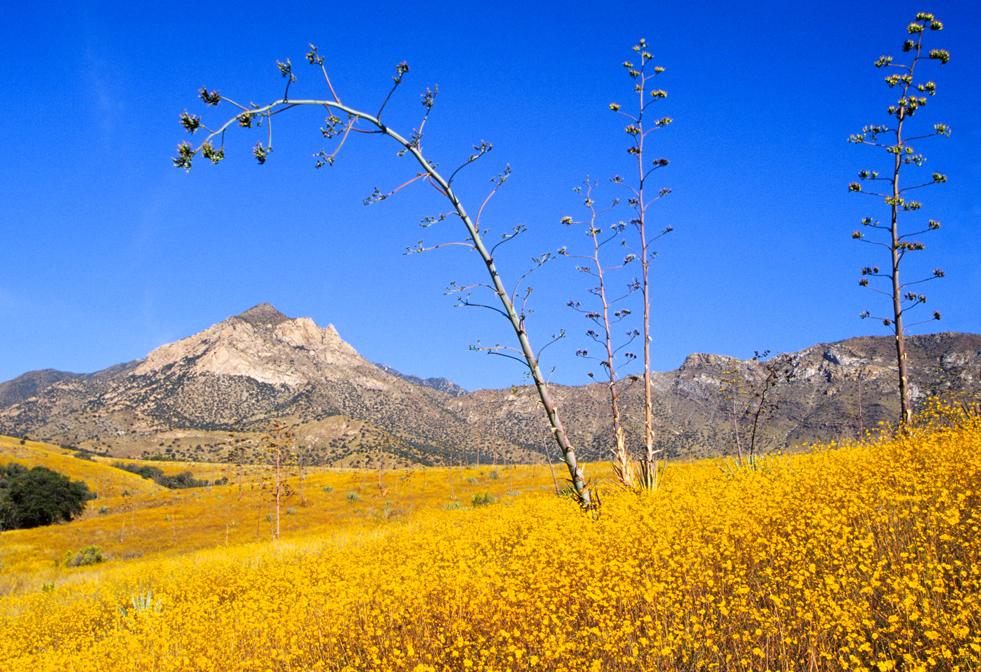
Mostly surface roads route profile with national parks nearby.
Frequently Asked Questions
The longest stretch is about 54.6 miles on Casa Grande-Tucson Highway. The full list of main roads is in the Roads section above.
We did not find dedicated rest areas on this route. For a drive this long, plan bathroom and stretch breaks around gas stations, fast-food stops, or small-town downtowns — check the Nearby Places section for options.
It helps. This route has a higher-than-average number of complex decision points, which get harder in the dark. If the last hour of the trip is on surface roads or mountain grades, aim to arrive at Tombstone, AZ before sunset when you can. Check the Trip Plan for departure windows that land you in daylight.
Only with planning. This is a long drive for kids — consider splitting it into two days rather than pushing through. Plan at least 1 meaningful breaks. Dedicated rest areas are limited, so plan gas or food stops as your bathroom breaks.
The main spots that need attention: at 3.2 miles: Lane positioning matters here; at 3.7 miles (I 10 / Papago Freeway): Merge point - match speed before joining. Lane positioning matters here; at 12.2 miles (I 10 / Papago Freeway): Highway fork - watch signs carefully. Lane positioning matters here.
Yes — Saguaro National Park, Casa Grande Ruins National Monument and Coronado National Memorial. See the National Parks section for detour distances and tips on detours.
Possible but tiring. At 3.7 hours each way, an in-and-out day trip would put you behind the wheel for 7.3 hours — manageable with a long break at Tombstone, AZ, but most travelers stay overnight.