Traveling from Maryvale to Huachuca City covers approximately 189.8 miles of Arizona desert landscape. Expect to spend about 3 hours and 27 minutes behind the wheel, making this a very manageable one-day trip. You will primarily navigate via West Indian School Road and North 51st Avenue before transitioning onto I-10 East to cover the bulk of the distance. Budget around $38 for fuel to complete the journey. Since both locations are situated within the Desert Southwest, you can anticipate consistent terrain throughout the drive, making it a straightforward trek for those comfortable with local transit and interstate travel.
Trip Pace
Same-day drive is realistic
A same-day return is realistic if you keep stops short.
Break Rhythm
1 planned break
A short stop every 2 to 3 hours is enough for this drive.
Midpoint
94.9 miles from Maryvale, AZ
A natural place for your longest stop of the day
, about 1h 43m into the drive
.
Main Roads
Road
Distance
Duration
Casa Grande-Tucson Highway
54.6 mi
55m
Tucson-Benson Highway
41.4 mi
43m
Phoenix-Casa Grande Highway
37.8 mi
38m
Maricopa Freeway
12.3 mi
14m
State Route 90
11.9 mi
14m
Papago Freeway
9.3 mi
10m
Huachuca Boulevard
9.1 mi
10m
North Freeway
6.1 mi
6m
Longest stretch:
Casa Grande-Tucson Highway
— 54.6 mi, about 55m
Turn-by-Turn Driving Directions
Step-by-step road directions between Maryvale, AZ and Huachuca City, AZ.
1
Start on North 55th Avenue
0.5 mi·1 min·North 55th Avenue
2
Turn left onto West Indian School Road
0.5 mi·1 min·West Indian School Road
3
Turn right onto North 51st Avenue
2.3 mi·4 min·North 51st Avenue
4
Turn left
0.4 mi·58 sec
Toward I 10 East: TucsonUse the left lane.
5
Merge onto I 10
4.9 mi·5 min·Papago Freeway
Use the straight / slight right lanes.
6
Continue on I 10
0.5 mi·35 sec·Dean Lindsey Memorial Tunnel
7
Continue on I 10
3.2 mi·3 min·Papago Freeway
Use the straight / slight right lanes.
8
Keep slight left at fork onto I 10
1.2 mi·1 min·Papago Freeway
Use the straight / slight right lanes.
9
Merge onto I 10; US 60
12 mi·14 min·Maricopa Freeway
Use the straight / slight right lanes.
10
Continue on I 10
38 mi·38 min·Phoenix-Casa Grande Highway
Use the straight / slight right lanes.
11
Continue on I 10
55 mi·55 min·Casa Grande-Tucson Highway
Use the straight / slight right lanes.
12
Continue on I 10
6.1 mi·6 min·North Freeway
Use the straight / slight right lanes.
13
Continue on I 10
41 mi·43 min·Tucson-Benson Highway
Use the straight / slight right lanes.
14
Take the exit
0.6 mi·1 min
Exit 302Toward AZ 90 East: Fort Huachuca, Sierra Vista
15
Turn right onto AZ 90
1.2 mi·1 min·South State Highway 90
16
Continue on AZ 90
9.1 mi·10 min·Huachuca Boulevard
17
Continue on AZ 90
12 mi·14 min·State Route 90
18
Continue on AZ 90
1.3 mi·2 min·North Huachuca Boulevard
19
Turn left onto Clark Street
0.1 mi·28 sec·Clark Street
20
Turn left
152 ft·11 sec
21
Arrive at destination
Trip Plan
To make the most of your 3 hour and 27 minute drive, plan for at least one dedicated stop to stretch your legs and refresh. Leaving early in the day is your best bet to avoid peak traffic congestion on the local roads leading out of Maryvale. Keep a close watch on your fuel levels early on, as the $38 estimated cost can fluctuate based on your vehicle's efficiency and idling time in city traffic. Since this is a single-day trip, you have the flexibility to choose your departure time, but remember that the route’s turn-heavy nature requires your full attention throughout the 189.8-mile duration.
Morning Departure
An early start around 7-8 AM gets you there with plenty of daylight left.
Evening Departure
A late afternoon start means arriving after dark. Morning is better.
You can normally do this drive in one day.
Plan roughly 1 meaningful break for fuel, food, and rest.
The halfway point lands around 94.9 miles from Maryvale, AZ, or about 1h 43m into the drive.
The longest continuous stretch on this route runs about 54.6 miles.
This is a comfortable same-day trip.
Departure
Before you leave
Start with fuel, water, and navigation already sorted so the first hour feels easy.
First stop
Around 42 miles or 49m in
Use this first pause for coffee, a restroom break, and a quick traffic check ahead.
Halfway reset
Around 94.9 miles or 1h 43m in
This is the best place for your longest stop, a real meal, and a full fuel check.
Final approach
Final hour starts around 2h 46m
Traffic, exits, and arrival timing usually matter more near Huachuca City, AZ than in the middle of the route.
Before You Leave
+
Open the route before leaving Maryvale, AZ so your first major turns are already loaded.
+
Leave with enough water and a charging cable within reach, not packed away.
+
Check your fuel range against the first long segment, especially if you are starting outside city service areas.
Day 1
Settle into the route from Maryvale, AZ
This is one driving day of about 189.8 miles and 3h 27m.
Your first comfortable stop window is around 42 miles from Maryvale, AZ.
This route can stay practical as a one-day drive if traffic stays reasonable.
Plan about 1 real break rather than only quick fuel stops.
The longest stretch is on Casa Grande-Tucson Highway for about 54.6 miles.
Where to Stop
Rest stops, refuel points, and overnight suggestions along this route.
Place data sourced from public business listings. Hours and availability may vary.
Heads-up: tricky spots
5 of 10
5 decision points cluster between mile 3.2 and 165.6 — GPS handles the exact turns, but know they're coming. Your lane choice matters more than the turn itself.
7
3.2 mi into trip|~6m in
Turn left toward I 10 East: Tucson
Lane positioning matters here
Use the left lane.
Toward I 10 East: Tucson
5
3.7 mi into trip|~7m in|I 10 / Papago Freeway
Merge onto I 10 / Papago Freeway
Merge point - match speed before joining. Lane positioning matters here
Use the straight / slight right lanes.
6
12.2 mi into trip|~17m in|I 10 / Papago Freeway
Keep slight left at fork onto I 10 / Papago Freeway
Highway fork - watch signs carefully. Lane positioning matters here
Use the straight / slight right lanes.
5
13.5 mi into trip|~18m in|I 10; US 60 / Maricopa Freeway
Merge onto I 10; US 60 / Maricopa Freeway
Merge point - match speed before joining. Lane positioning matters here
Use the straight / slight right lanes.
6
165.6 mi into trip|~2h 57m in
Take the exit toward AZ 90 East: Fort Huachuca, Sierra Vista
Exit ramp - move to the correct lane early. Multiple destination signs - pick the right one
Exit 302
Toward AZ 90 East: Fort Huachuca, Sierra Vista
Fuel & Cost
Regular Gas
$37.81 one way
$75.62 round trip
$5.06/gal25.4 MPG avg66 kg CO2
Fuel Type
$/gal
One Way
Round Trip
midgrade
$5.36
$40.01
$80.03
premium
$5.59
$41.78
$83.56
diesel
$5.61
$41.91
$83.81
No toll roads detected on this route.
Estimated Trip Cost (one way, 1 person)
Fuel
$38
Meals
$25–$50
Total
$63–$88
Rough estimate based on US averages. Hotel $80–$140/night, meals $25–$50/day.
Estimated CO2 emission: 66.4 kg one way.
Prices: EIA weekly data, 2026-04-13.
Driving Electric?
About $20 in charging
· 0 stops
· 67% less CO2
Vehicle Type
kWh
Stops
DC Fast
Home Charge
Average EV
56.9
0
$19.93
$9.11
Efficient EV
47.5
0
$16.61
$7.59
EV Truck/SUV
75.9
0
$26.57
$12.15
Gas CO2
66 kg
EV CO2
22 kg (67% less)
This trip is well within single-charge range for most EVs. No charging stops needed if you start fully charged.
DC fast charging avg $0.35/kWh. Home charging avg $0.16/kWh. US grid CO2: 0.39 kg/kWh.
Travel Intel
Current conditions at both ends of the drive.
Forecast as of Apr 19, 2026
Origin
Maryvale, AZ
Morning
in Maryvale on Sunday
Local time
7:57 AM
MST
Current temp
89°F
Unavailable
Live forecast
Destination
Huachuca City, AZ
Morning
in Huachuca City on Sunday
Local time
7:57 AM
MST
Current temp
80°F
Unavailable
Live forecast
Seasonal Notes
Summer travel usually means heavier construction, hotter rest stops, and busier weekend traffic around major cities.
Winter travel shortens daylight, so a route that looks manageable on paper can feel much longer after dark.
Holiday weekends tend to make both departure and arrival windows slower than the raw route time suggests.
Time zone
Same local time
Origin and destination are on the same clock, so arrival timing is easier to judge at a glance.
Temperature spread
9 degrees cooler at arrival
A meaningful temperature swing is a good cue to rethink layers, water, and how soon you want to arrive.
Road read
3h 27m on the road
Use the two city cards together: check the sky where you start, then compare it with the local time and temperature at arrival.
Weather data from the National Weather Service. Conditions may change; check closer to your travel date.
National Parks Near This Route
Worth a detour if your schedule allows.
Saguaro National Park
National Park
Tucson, Arizona is home to the nation's largest cacti. The giant saguaro is the universal symbol of the American west. These majestic plants, found only in a small portion of the United States, are pr...
9 mi from route
~23 min detour
$25
near mile 130.9
An Ancestral Sonoran Desert People's farming community and "Great House" are preserved at Casa Grande Ruins. Whether a gathering place for people or simply a waypoint marker in an extensive system of...
11 mi from route
~28 min detour
Free
near mile 52.4
It was a journey of conquest filled with exploration, wonder - and cruelty. Inspired by tales of vast cities of gold, 339 European soldiers and over a thousand Aztec allies embarked on an epic journey...
20 mi from route
~50 min detour
Free
near mile 189.8
Park data from the National Park Service API. Alerts update every 2 hours.
More Details
What kind of drive is this?
This journey carries a distinct turn-heavy local feel, especially during the initial segments before you merge onto the interstate. Because the route relies on urban arterials and major highway arteries, you will experience a shift from city navigation to a more sustained driving rhythm. With no highway percentage specified and a high volume of turns, you should stay alert as the road configuration changes frequently. It is not an endless, monotonous interstate grind; instead, you will need to remain engaged as you transition between local roads and the primary highway system.
Only 21% highway — the rest is turn-by-turn surface driving.
21 navigation steps total — most of the decisions cluster near the start and finish.
Longest single stretch: 54.6 mi on Casa Grande-Tucson Highway.
How Hard Is This Drive?
6/10
Expect a hands-on drive with frequent turns and local roads rather than long highway stretches. You will hit about 10 points where you need to pay attention to lane position or signs. The trickiest moment comes around 3.2 miles in.
Driving Effort6/10
Moderate - straightforward overall, but long enough or busy enough to require pacing
Balances navigation complexity with total wheel time.
This drive requires moderate attention. Across 189.8 miles you will encounter 10 spots where lane choice or exit timing matters. Not difficult for experienced highway drivers, but worth previewing the tricky sections before you go.
Where does it get tricky?
The main spots that need attention: at 3.2 miles: Lane positioning matters here; at 3.7 miles (I 10 / Papago Freeway): Merge point - match speed before joining. Lane positioning matters here; at 12.2 miles (I 10 / Papago Freeway): Highway fork - watch signs carefully. Lane positioning matters here.
Towns Mentioned on Route Signs
Based on OSRM destination-sign hints, not a full list of every settlement the road passes.
On the drive from Maryvale, AZ to Huachuca City, AZ, road signs begin pointing toward Sierra Vista along the way.
Doable as a same-day drive at 3h 27m. Total distance: 189.8 miles.
Family Friendly
Moderate complexity with 1 natural rest stops along the way.
Solo Traveler
3h 27m drive, comfortable solo distance.
Scenic Drive
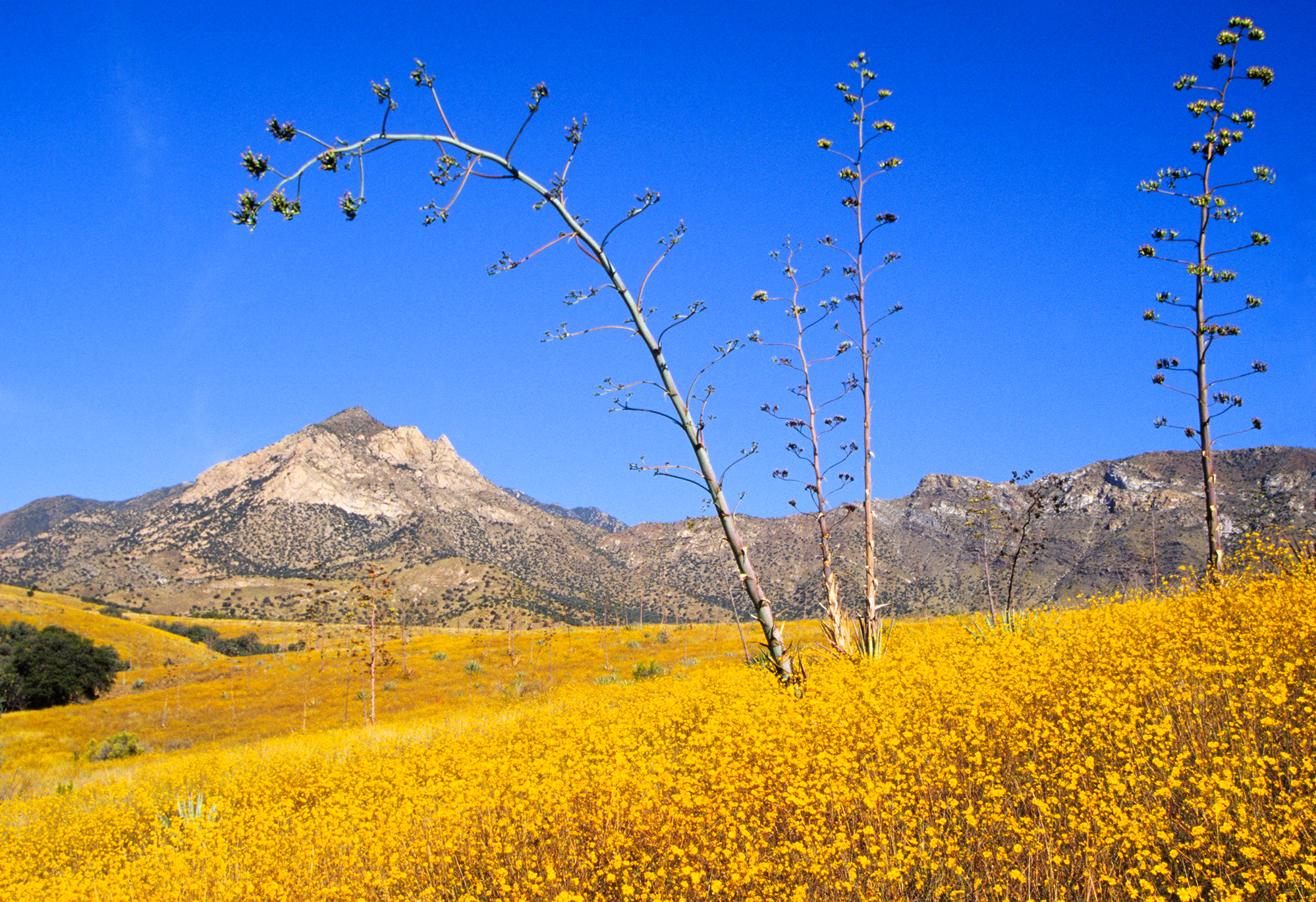
Mostly surface roads route profile with national parks nearby.
Frequently Asked Questions
The longest stretch is about 54.6 miles on Casa Grande-Tucson Highway. The full list of main roads is in the Roads section above.
We did not find dedicated rest areas on this route. For a drive this long, plan bathroom and stretch breaks around gas stations, fast-food stops, or small-town downtowns — check the Nearby Places section for options.
It helps. This route has a higher-than-average number of complex decision points, which get harder in the dark. If the last hour of the trip is on surface roads or mountain grades, aim to arrive at Huachuca City, AZ before sunset when you can. Check the Trip Plan for departure windows that land you in daylight.
Only with planning. This is a long drive for kids — consider splitting it into two days rather than pushing through. Plan at least 1 meaningful breaks. Dedicated rest areas are limited, so plan gas or food stops as your bathroom breaks.
The main spots that need attention: at 3.2 miles: Lane positioning matters here; at 3.7 miles (I 10 / Papago Freeway): Merge point - match speed before joining. Lane positioning matters here; at 12.2 miles (I 10 / Papago Freeway): Highway fork - watch signs carefully. Lane positioning matters here.
Yes — Saguaro National Park, Casa Grande Ruins National Monument and Coronado National Memorial. See the National Parks section for detour distances and tips on detours.
Possible but tiring. At 3.5 hours each way, an in-and-out day trip would put you behind the wheel for 6.9 hours — manageable with a long break at Huachuca City, AZ, but most travelers stay overnight.