Origin
Joplin, MO
Late night in Joplin on Tuesday
Local time
3:46 AM
CDT
Current temp
72°F
Unavailable
Live forecast
Compiled and reviewed by the US Trip Planner planning team at COD Solutions Oy · Last reviewed Apr 21, 2026 · Editorial standards
Drive Time
5h 37m
Distance
289.9 mi
467 km
Drive Score
10/10
Great drive
Same Day?
Yes, doable
Fuel Cost
$45
one way
EV Charging
Unknown
Estimated drive times based on typical traffic patterns. Actual times may vary with weather, construction, and real-time conditions.

Joplin, MO
Wikimedia Commons

Center, MO
Lena Khrupina
Joplin to Center is 289.9 miles and takes about 5h 37m via US 54 and MO 5, with a fuel budget near $45 and enough daylight to finish in a day. This drive stays within Missouri, moving from the Midwest region to another part of the Midwest. Expect a mixed drive profile, meaning you'll encounter various road types rather than a single highway for the entire trip. With a recommended single day for travel, this route is manageable for a straightforward journey between these two points, offering a practical option for getting across the state.
Trip Pace
Same-day drive is realistic
A same-day return is possible, but it will make for a full day on the road.
Break Rhythm
1 planned break
Plan on a short reset every 3 to 4 hours to stay fresh behind the wheel.
Midpoint
145 miles from Joplin, MO
A natural place for your longest stop of the day , about 2h 49m into the drive .
| Road | Distance | Duration |
|---|---|---|
| US 54 | 113.6 mi | 2h 10m |
| Congressman Gene Taylor Highway | 113.3 mi | 2h 2m |
| MO 5 | 23.7 mi | 29m |
| MO 19 | 18.6 mi | 21m |
| East Liberty Street | 10.3 mi | 13m |
| East 7th Street | 6.8 mi | 14m |
| South Jefferson Avenue | 1.6 mi | 2m |
| Cimarron Road | 0.9 mi | 1m |
Step-by-step road directions between Joplin, MO and Center, MO.
Start on this road
At end of road, turn right
Turn left onto I 44 Business; MO 66
Continue on I 44 Business; MO 66
Take the ramp onto I 44 Business
Merge onto I 44; I 49; US 71
Take the exit
Turn left onto MO 5; MO 32; MO 64
Continue on MO 5
Take the exit
Turn right onto US 54
Turn straight onto US 54
At end of road, turn right onto US 54
Enter roundabout onto US 54; MO 19
Continue on US 54; MO 19
Enter roundabout onto MO 19
Continue on MO 19
Turn sharp right onto MO P
Turn left onto East Lamb Street
Arrive at destination
Given the 5h 37m duration, leaving Joplin in the morning is ideal to make the most of daylight. The longest stretch without a major change in road is over 113 miles, so plan for a comfortable break before or after that segment. With a total distance of under 300 miles and a fuel cost estimated at $45, this trip is easily doable in one day. Keep an eye on your fuel gauge, especially before heading into the longer stretches on US 54, as services can be spaced out.
Morning Departure
An early start around 7-8 AM gets you there with plenty of daylight left.
Evening Departure
A late afternoon start means arriving after dark. Morning is better.
This is a comfortable same-day trip.
Departure
Before you leave
Start with fuel, water, and navigation already sorted so the first hour feels easy.
First stop
Around 64 miles or 1h 17m in
Use this first pause for coffee, a restroom break, and a quick traffic check ahead.
Halfway reset
Around 145 miles or 2h 49m in
This is the best place for your longest stop, a real meal, and a full fuel check.
Final approach
Final hour starts around 4h 34m
Traffic, exits, and arrival timing usually matter more near Center, MO than in the middle of the route.
Open the route before leaving Joplin, MO so your first major turns are already loaded.
Leave with enough water and a charging cable within reach, not packed away.
Check your fuel range against the first long segment, especially if you are starting outside city service areas.
Day 1
Settle into the route from Joplin, MO
This is one driving day of about 289.9 miles and 5h 37m.
Rest stops, refuel points, and overnight suggestions along this route.

Mid-route town
Meal stop
145 mi into the route
Best for: Lunch, fuel, and a longer reset
This sits close to the middle of the route, so it works well for the longest stop of the day.
A short stop after about 64 miles helps settle the day before fatigue starts building.
The midpoint is around 145 miles from Joplin, MO, which is a good place for a longer meal and fuel stop.
Before the longest stretch
Fuel checkTop up before US 54 if your tank is already low. That segment runs about 113.6 miles.
These stop ideas are pacing suggestions — the exact town or exit can change with traffic, hotel plans, and fuel range.
5 decision points cluster between mile 0 and 147.3 — GPS handles the exact turns, but know they're coming. Your lane choice matters more than the turn itself.
At end of road, turn right
Complex interchange - multiple decisions in a short stretch
Merge onto I 44; I 49; US 71 / Congressman Gene Taylor Highway
Merge point - match speed before joining. Lane positioning matters here
Take the exit toward MO 64, MO 5, MO 32: Hartville
Exit ramp - move to the correct lane early. Multiple destination signs - pick the right one
Take the exit toward US 54: Camdenton, Nevada, Osage Beach, Jefferson City
Exit ramp - move to the correct lane early. Multiple destination signs - pick the right one
Turn right onto US 54
Lane positioning matters here
Regular Gas
$45.32 one way
$90.65 round trip
| Fuel Type | $/gal | One Way | Round Trip |
|---|---|---|---|
| midgrade | $4.36 | $49.76 | $99.52 |
| premium | $4.89 | $55.79 | $111.58 |
| diesel | $5.61 | $64.01 | $128.01 |
No toll roads detected on this route.
Estimated Trip Cost (one way, 1 person)
Fuel
$45
Meals
$25–$50
Total
$70–$95
Rough estimate based on US averages. Hotel $80–$140/night, meals $25–$50/day.
Estimated CO2 emission: 101.4 kg one way. Prices: EIA weekly data, 2026-04-13.
Driving Electric?
About $30 in charging · 1 stop · 66% less CO2
| Vehicle Type | kWh | Stops | DC Fast | Home Charge |
|---|---|---|---|---|
| Average EV | 87 | 1 | $30.44 | $13.92 |
| Efficient EV | 72.5 | 0 | $25.37 | $11.60 |
| EV Truck/SUV | 116 | 1 | $40.59 | $18.55 |
Gas CO2
101 kg
EV CO2
34 kg (66% less)
Plan for 1 charging stop. A 30-minute DC fast charge mid-route should be enough to complete the trip comfortably.
DC fast charging avg $0.35/kWh. Home charging avg $0.16/kWh. US grid CO2: 0.39 kg/kWh.
Current conditions at both ends of the drive.
Origin
Late night in Joplin on Tuesday
Local time
3:46 AM
CDT
Current temp
72°F
Unavailable
Destination
Late night in Center on Tuesday
Local time
3:46 AM
CDT
Current temp
51°F
Unavailable
53°F
Richland, MO
145 mi in
Seasonal Notes
Summer travel usually means heavier construction, hotter rest stops, and busier weekend traffic around major cities.
Winter travel shortens daylight, so a route that looks manageable on paper can feel much longer after dark.
Holiday weekends tend to make both departure and arrival windows slower than the raw route time suggests.
Time zone
Origin and destination are on the same clock, so arrival timing is easier to judge at a glance.
Temperature spread
A meaningful temperature swing is a good cue to rethink layers, water, and how soon you want to arrive.
Road read
An early start around 7-8 AM gets you there with plenty of daylight left.
Weather data from the National Weather Service. Conditions may change; check closer to your travel date.
Worth a detour if your schedule allows.
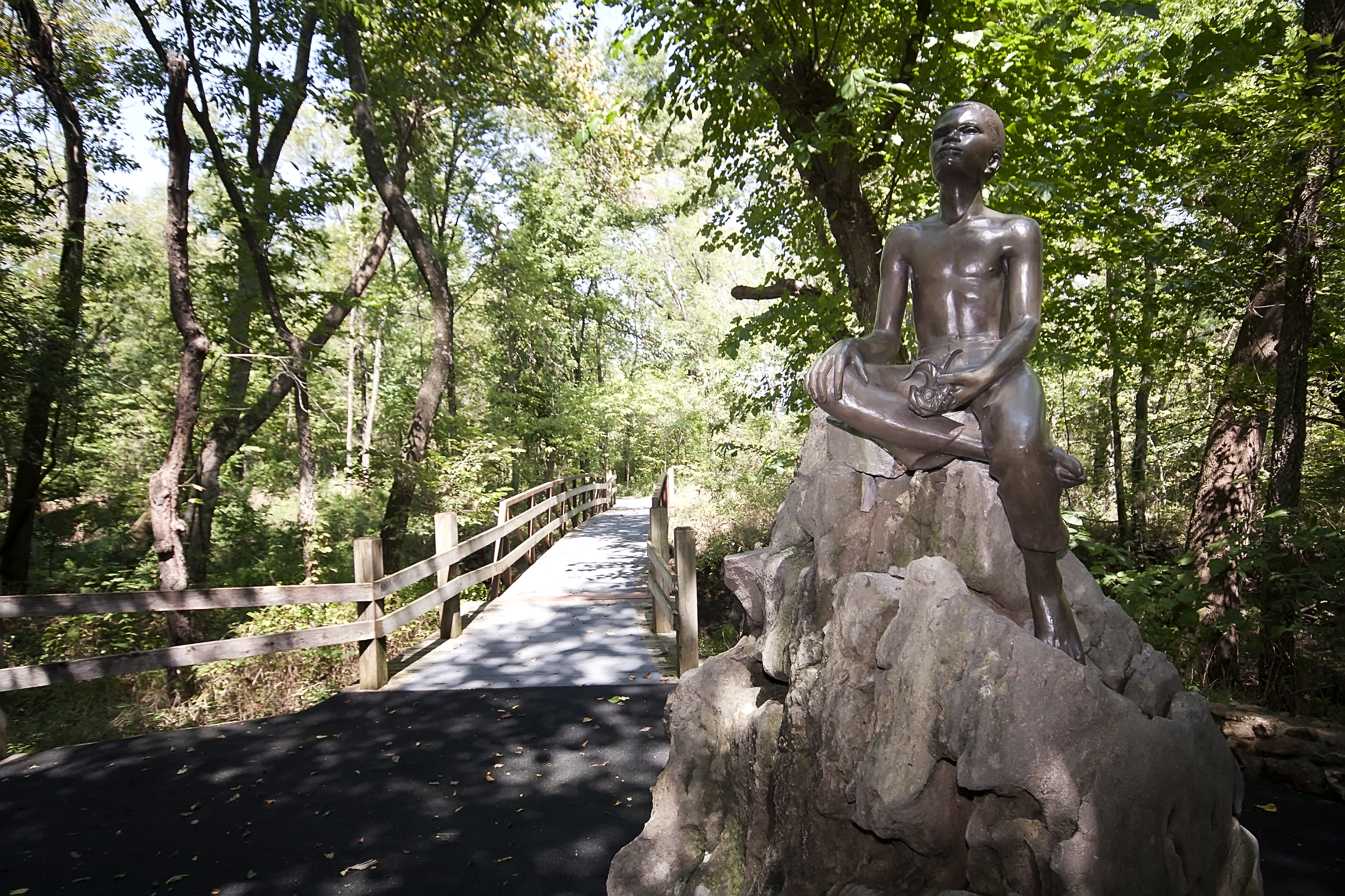
National Monument
The young child known as the "Plant Doctor" tended his secret garden while observing the day-to-day operations of a 19th century farm. Nature and nurture ultimately influenced George on his quest for...
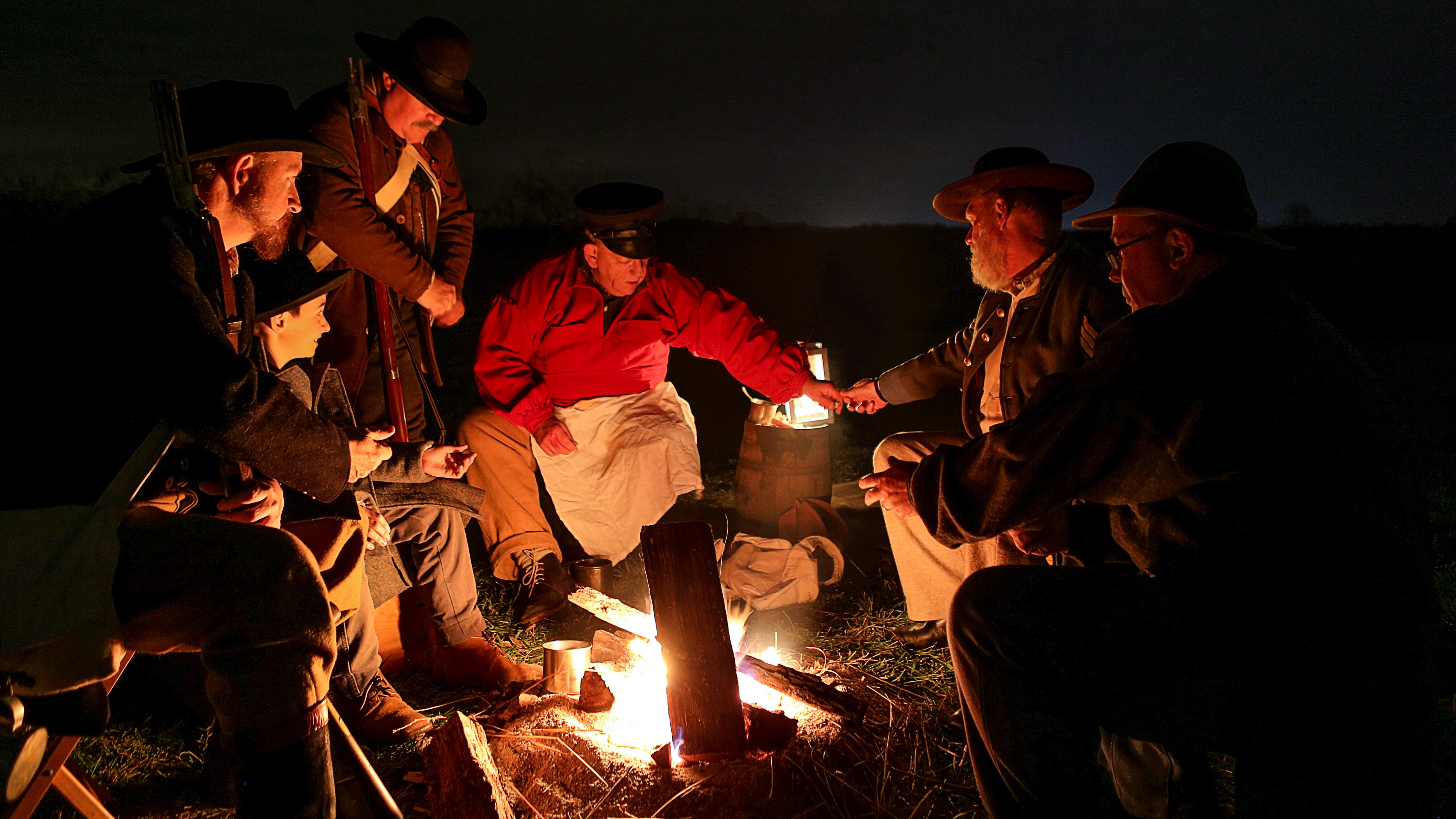
National Battlefield
Wilson's Creek was the first major Civil War battle fought west of the Mississippi River, and where the first Union general was killed in action. The costly Southern victory on August 10, 1861, focuse...
Park data from the National Park Service API. Alerts update every 2 hours.
This route is a mixed drive, with a highway share of 54%, indicating a blend of faster roads and more local routes. You'll experience a significant stretch of 113.6 miles on US 54, which will likely feel like the primary highway segment. As you progress, the landscape and road conditions will likely shift, moving from potentially more open highway travel to roads that might be more winding or pass through smaller communities. This dynamic offers a varied driving experience, keeping you engaged without being overly demanding.
This route mixes highway mileage with some local-road sections near the start or finish. There are only a few real navigation decisions along the way. The trickiest moment comes early in the drive.
Easy - simple navigation with a manageable amount of wheel time
Balances navigation complexity with total wheel time.
This is a straightforward 5h 37m drive. You will face about 13 decision points, but nothing that requires special attention if you follow navigation.
Where does it get tricky?
The main spots that need attention: near the start: Complex interchange - multiple decisions in a short stretch; at 8.3 miles (I 44; I 49; US 71 / Congressman Gene Taylor Highway): Merge point - match speed before joining. Lane positioning matters here; at 121.7 miles: Exit ramp - move to the correct lane early. Multiple destination signs - pick the right one.
Based on OSRM destination-sign hints, not a full list of every settlement the road passes.
Between Joplin, MO and Center, MO, road signs point toward Nevada, Osage Beach and Jefferson City.
Nevada
Osage Beach
Jefferson City
Joplin is in Southwest Missouri. It's mentioned in the song "Route 66". Joplin is the "hub" of the southwest corner of Missouri, southeast Kansas, and northeast Oklahoma. The population of Joplin in 2020 was 51,762, but, with several "suburbs" around Joplin, the population of the Joplin metro area was over 210,077.
City content from Wikivoyage (CC BY-SA 4.0) and Wikidata (CC0).
Weekend Trip
Doable as a same-day drive at 5h 37m. Total distance: 289.9 miles.
Family Friendly
Moderate complexity with 1 natural rest stops along the way.
Solo Traveler
5h 37m drive, comfortable solo distance.
First-Time Driver
Mostly highway driving (54%). Straightforward navigation.
Scenic Drive
Mixed highway & surface route profile with national parks nearby.
Compiled by the US Trip Planner planning team at COD Solutions Oy from open government datasets — OSRM over OpenStreetMap for geometry, EIA for fuel prices, and NPS for national parks. See our methodology for refresh cadence and limitations.
Was this helpful?
Thanks for your feedback!
Your tip has been submitted. Thanks!
/500
Recent Tips
·
Explore more options from Joplin, MO or browse trips ending in Center, MO.
Looking for more statewide routes? Browse MO road trips.