Traveling from Hilton Head to Saint Andrews covers 155.5 miles across South Carolina, making this a straightforward three-hour journey. Because the drive takes approximately 2 hours and 59 minutes, it is perfectly suited for a single-day trip without the need for an overnight stay. You should budget roughly $25 for fuel to complete the trek. By utilizing a combination of I-95, I-26, and the Coosaw Scenic Drive, you can navigate between these two Southeast locations efficiently. Whether you are heading out for business or a change of scenery, the route provides a reliable connection between the coast and the state's interior.
Trip Pace
Same-day drive is realistic
A same-day return is realistic if you keep stops short.
Break Rhythm
1 planned break
A short stop every 2 to 3 hours is enough for this drive.
Midpoint
77.7 miles from Hilton Head, SC
A natural place for your longest stop of the day
, about 1h 33m into the drive
.
Main Roads
Road
Distance
Duration
I 26
61.8 mi
1h 6m
I 95
57.2 mi
1h 1m
Coosaw Scenic Drive
9.4 mi
12m
Fording Island Road
9 mi
13m
Lowcountry Drive
7.9 mi
10m
William Hilton Parkway
4.1 mi
4m
Okatie Highway
3.9 mi
4m
Saint Andrews Road
0.7 mi
1m
Longest stretch:
I 26
— 61.8 mi, about 1h 6m
Traffic on I-26
Hour-of-day weekday pattern from 21 FHWA count stations on your route.
Peak
2 PM
~1,997 veh/hr typical
· worst 2,510
Quietest
1 AM
~237 veh/hr
Peak-to-quiet ratio
8.4×
busier at peak than in the quiet hours
12a6anoon6p11p
Averaged across 52 weeks of 2023 FHWA Travel Monitoring Analysis System data. Weekday hours only (Mon–Fri).
Turn-by-Turn Driving Directions
Step-by-step road directions between Hilton Head, SC and Saint Andrews, SC.
1
Start on US 278
0.3 mi·28 sec·William Hilton Parkway
2
Continue on US 278
3.8 mi·4 min·William Hilton Parkway
3
Continue on US 278
9.0 mi·13 min·Fording Island Road
4
Take the exit
0.3 mi·39 sec
5
Keep slight right at fork
147 ft·4 sec
6
Merge onto SC 170
3.9 mi·4 min·Okatie Highway
7
Take the exit
488 ft·13 sec
8
Continue on SC 462
7.9 mi·10 min·Lowcountry Drive
9
Continue on SC 462
9.4 mi·12 min·Coosaw Scenic Drive
10
Take the ramp
0.3 mi·35 sec
Toward I 95 North, US 17 North: Florence
11
Merge onto I 95; US 17
57 mi·1 hr 1 min·I 95; US 17
12
Take the exit
0.4 mi·1 min
Toward I 26 West: Columbia
13
Merge onto I 26
62 mi·1 hr 6 min·I 26
Use the straight / slight right lanes.
14
Take the exit
0.3 mi·33 sec
Exit 106BToward Saint Andrews Road EastUse the slight right lane.
15
Turn straight onto Saint Andrews Road
0.7 mi·1 min·Saint Andrews Road
16
Turn right onto US 176
0.1 mi·19 sec·Broad River Road
17
Turn left onto Whiteford Road
276 ft·12 sec·Whiteford Road
18
Arrive at destination
Whiteford Road
Trip Plan
Planning for this 155.5-mile trek is simple since you only need to account for one planned stop to keep your energy up. Given the duration is just under three hours, departing in the morning allows you to reach Saint Andrews well before the end of the day, leaving you with plenty of flexibility. Since the route relies heavily on major arteries like I-95 and I-26, check local traffic reports before you leave to ensure you are not caught in unexpected congestion. Keep your $25 fuel budget in mind, but consider refueling before hitting the longest 61.8-mile stretch on I-26 to avoid any mid-highway stress. Making that single stop an opportunity to stretch your legs will help you arrive at your destination refreshed.
Morning Departure
Leave by 9 AM and you'll arrive before lunch.
Evening Departure
Even a 4 PM departure gets you there before dark in summer.
You can normally do this drive in one day.
Plan roughly 1 meaningful break for fuel, food, and rest.
The halfway point lands around 77.7 miles from Hilton Head, SC, or about 1h 33m into the drive.
The longest continuous stretch on this route runs about 61.8 miles.
This is a comfortable same-day trip.
Departure
Before you leave
Start with fuel, water, and navigation already sorted so the first hour feels easy.
First stop
Around 34 miles or 46m in
Use this first pause for coffee, a restroom break, and a quick traffic check ahead.
Halfway reset
Around 77.7 miles or 1h 33m in
This is the best place for your longest stop, a real meal, and a full fuel check.
Final approach
Final hour starts around 2h 28m
Traffic, exits, and arrival timing usually matter more near Saint Andrews, SC than in the middle of the route.
Before You Leave
+
Open the route before leaving Hilton Head, SC so your first major turns are already loaded.
+
Leave with enough water and a charging cable within reach, not packed away.
+
Check your fuel range against the first long segment, especially if you are starting outside city service areas.
Day 1
Settle into the route from Hilton Head, SC
This is one driving day of about 155.5 miles and 2h 59m.
Your first comfortable stop window is around 34 miles from Hilton Head, SC.
This route can stay practical as a one-day drive if traffic stays reasonable.
Plan about 1 real break rather than only quick fuel stops.
The longest stretch is on I 26 for about 61.8 miles.
Where to Stop
Rest stops, refuel points, and overnight suggestions along this route.
Place data sourced from public business listings. Hours and availability may vary.
Heads-up: tricky spots
5 of 11
5 decision points cluster between mile 13.3 and 154.3 — GPS handles the exact turns, but know they're coming. Your lane choice matters more than the turn itself.
5
13.3 mi into trip|~18m in
Keep slight right at fork
Highway fork - watch signs carefully
4
34.7 mi into trip|~47m in
Take the ramp toward I 95 North, US 17 North: Florence
Multiple destination signs - pick the right one
Toward I 95 North, US 17 North: Florence
4
92.2 mi into trip|~1h 49m in
Take the exit toward I 26 West: Columbia
Exit ramp - move to the correct lane early
Toward I 26 West: Columbia
5
92.5 mi into trip|~1h 50m in|I 26
Merge onto I 26
Merge point - match speed before joining. Lane positioning matters here
Use the straight / slight right lanes.
7
154.3 mi into trip|~2h 57m in
Take the exit toward Saint Andrews Road East
Exit ramp - move to the correct lane early. Lane positioning matters here
Use the slight right lane.
Exit 106B
Toward Saint Andrews Road East
Fuel & Cost
Regular Gas
$22.96 one way
$45.92 round trip
$3.75/gal25.4 MPG avg54 kg CO2
Fuel Type
$/gal
One Way
Round Trip
midgrade
$4.12
$25.23
$50.46
premium
$4.49
$27.50
$55.00
diesel
$4.80
$29.36
$58.72
No toll roads detected on this route.
Estimated Trip Cost (one way, 1 person)
Fuel
$23
Meals
$25–$50
Total
$48–$73
Rough estimate based on US averages. Hotel $80–$140/night, meals $25–$50/day.
Estimated CO2 emission: 54.4 kg one way.
Prices: EIA weekly data, 2026-07-13.
Driving Electric?
About $16 in charging
· 0 stops
· 67% less CO2
Vehicle Type
kWh
Stops
DC Fast
Home Charge
Average EV
46.7
0
$16.33
$7.46
Efficient EV
38.9
0
$13.61
$6.22
EV Truck/SUV
62.2
0
$21.77
$9.95
Gas CO2
54 kg
EV CO2
18 kg (67% less)
This trip is well within single-charge range for most EVs. No charging stops needed if you start fully charged.
DC fast charging avg $0.35/kWh. Home charging avg $0.16/kWh. US grid CO2: 0.39 kg/kWh.
Travel Intel
Current conditions at both ends of the drive.
Forecast as of Jul 19, 2026
Origin
Hilton Head, SC
Late night
in Hilton Head on Sunday
Local time
3:06 AM
EDT
Current temp
81°F
Mostly Clear
SW 9 to 13 mph4% chanceLive forecast
Beach Hazards Statement
Beach Hazards Statement issued July 18 at 8:04PM EDT until July 19 at 8:00PM EDT by NWS Wilmington NC
Destination
Saint Andrews, SC
Late night
in Saint Andrews on Sunday
Local time
3:06 AM
EDT
Current temp
76°F
Partly Cloudy
SW 3 mph10% chanceLive forecast
Beach Hazards Statement
Beach Hazards Statement issued July 18 at 8:04PM EDT until July 19 at 8:00PM EDT by NWS Wilmington NC
Seasonal Notes
Summer travel usually means heavier construction, hotter rest stops, and busier weekend traffic around major cities.
Winter travel shortens daylight, so a route that looks manageable on paper can feel much longer after dark.
Holiday weekends tend to make both departure and arrival windows slower than the raw route time suggests.
Time zone
Same local time
Origin and destination are on the same clock, so arrival timing is easier to judge at a glance.
Temperature spread
5 degrees cooler at arrival
A meaningful temperature swing is a good cue to rethink layers, water, and how soon you want to arrive.
Road read
2h 59m on the road
The weather snapshot is not static. If you are leaving later, give both cities one more quick forecast check before departure.
Weather data from the National Weather Service. Conditions may change; check closer to your travel date.
National Parks Near This Route
Worth a detour if your schedule allows.
Congaree National Park
National Park
Astonishing biodiversity exists in Congaree National Park, the largest intact expanse of old growth bottomland hardwood forest remaining in the southeastern United States. Waters from the Congaree and...
11 mi from route
~28 min detour
Free
near mile 128.7
Caution: Backcountry Trail Conditions
Park Closure: Boardwalk Partially Closed for Construction
The Reconstruction era,1861-1900 the historic period in which the United States grappled with the question of how to integrate millions of newly freed African Americans into social, political, economi...
Park data from the National Park Service API. Alerts update every 2 hours.
More Details
What kind of drive is this?
This trip is heavily highway-focused, with about 79% of your time spent on major interstates. You will face a significant, uninterrupted stretch of 61.8 miles while navigating I-26, which defines the bulk of the experience. While the interstate portions provide a consistent, high-speed pace, the inclusion of the Coosaw Scenic Drive adds a different character to the drive compared to the standard highway grind. Expect the road conditions to shift as you transition from the coastal region to the interior landscapes of South Carolina. It is a functional, no-nonsense drive that rewards drivers who prefer steady, predictable transit over technical mountain or winding backroad navigation.
79% highway — fuel and pacing are the main things to plan.
18 navigation steps total — most of the decisions cluster near the start and finish.
Longest single stretch: 61.8 mi on I 26.
How Hard Is This Drive?
5/10
This is a straightforward highway drive that stays mostly on I 26 and I 95. You will hit about 11 points where you need to pay attention to lane position or signs. The trickiest moment comes around 13.3 miles in.
Driving Effort5/10
Moderate - straightforward overall, but long enough or busy enough to require pacing
Balances navigation complexity with total wheel time.
This drive requires moderate attention. Across 155.5 miles you will encounter 11 spots where lane choice or exit timing matters. Not difficult for experienced highway drivers, but worth previewing the tricky sections before you go.
Where does it get tricky?
The main spots that need attention: at 13.3 miles: Highway fork - watch signs carefully; at 34.7 miles: Multiple destination signs - pick the right one; at 92.2 miles: Exit ramp - move to the correct lane early.
Hilton Head Island is a city and barrier island in South Carolina, just across the border from Savannah, Georgia. With an approximate population of 40,000, it is on a beautiful, sub-tropical 12-mile (19-km) barrier island. Hilton Head Island is a vacation playland with famous beaches and great golf courses that overlook the Atlantic Ocean.
Top landmarks
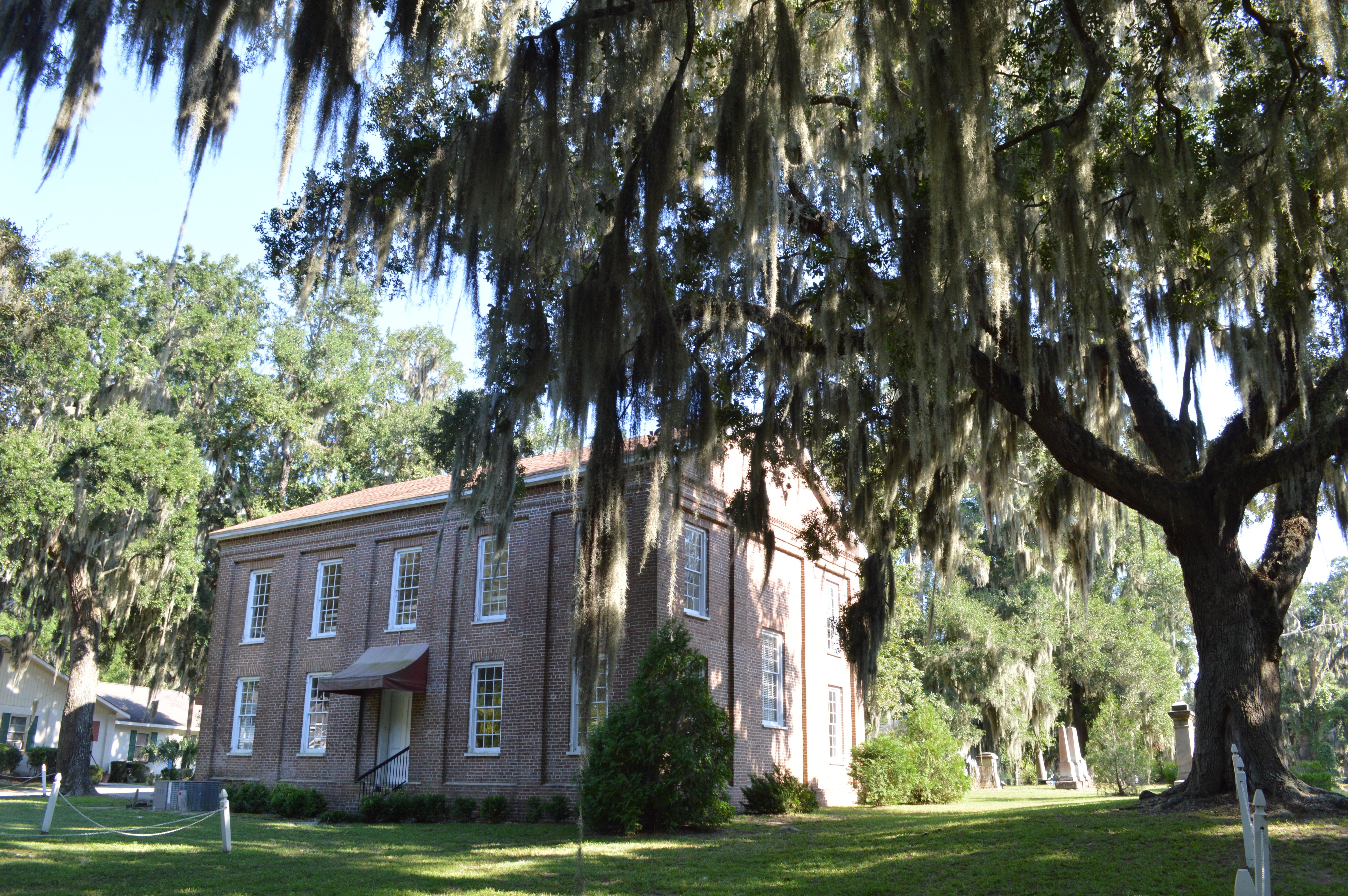
•Cherry Hill School — historic school for African-American students located at Hilton Head Island, Bea...
•St. Luke's Parish Zion Chapel of Ease Cemetery — historic site in Beaufort County, South Carolina, US
Doable as a same-day drive at 2h 59m. Total distance: 155.5 miles.
Family Friendly
Moderate complexity with 1 natural rest stops along the way.
Solo Traveler
2h 59m drive, comfortable solo distance.
First-Time Driver
Mostly highway driving (79%). Some complex stretches to watch for.
Frequently Asked Questions
The longest stretch is about 61.8 miles on I 26. The full list of main roads is in the Roads section above.
Yes — we found about 17 rest areas or service plazas within a short detour of the route (from OpenStreetMap). See the Rest Stops tab under Nearby Places for locations and mile markers. Plan to stretch, use the bathroom, and top off fluids every 2–3 hours on longer drives.
Yes, with realistic expectations. Build in a stop roughly every 2 hours, have snacks and activities ready, and check the Nearby Places tabs for kid-friendly stops along the way.
The main spots that need attention: at 13.3 miles: Highway fork - watch signs carefully; at 34.7 miles: Multiple destination signs - pick the right one; at 92.2 miles: Exit ramp - move to the correct lane early.
Yes — Congaree National Park and Reconstruction Era National Historical Park. See the National Parks section for detour distances and tips on detours.
Yes. A round trip is manageable in a single day if you plan a break at Saint Andrews, SC before heading back.