Origin
Hanover, MD
Late night in Hanover on Sunday
Local time
12:17 AM
EDT
Current temp
73°F
Unavailable
Live forecast
Compiled and reviewed by the US Trip Planner planning team at COD Solutions Oy · Last reviewed Apr 18, 2026 · Editorial standards
Drive Time
1h 51m
Distance
70.8 mi
114 km
Drive Score
7/10
Good drive
Same Day?
Yes, doable
Fuel Cost
$12
one way
EV Charging
Unknown
Estimated drive times based on typical traffic patterns. Actual times may vary with weather, construction, and real-time conditions.

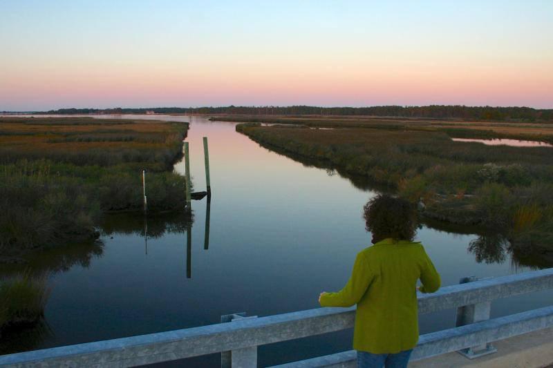
Hanover, MD
Wikimedia Commons

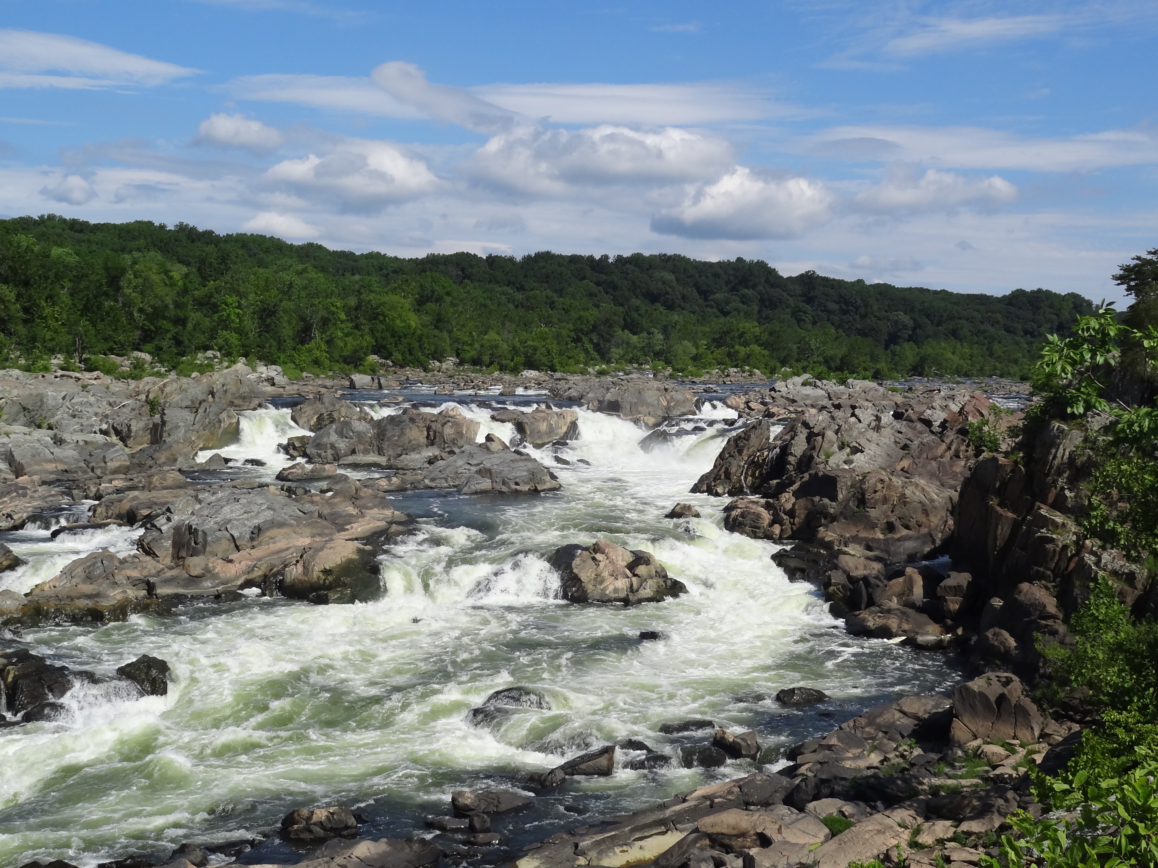
Chesapeake Ranch Estates, MD
Wikimedia Commons
Hanover, MD to Chesapeake Ranch Estates, MD is 70.8 miles and takes about 1h 51m via South Solomons Island Road, with a fuel budget near $12 and enough daylight to finish in a day. This trip stays within Maryland, taking you from the Northeast region down towards the Southern Maryland area. Expect a driving experience characterized by frequent turns and local road navigation rather than long stretches of highway. With a recommended one-day duration and a manageable fuel cost, this route is a straightforward option for getting between these two points.
Trip Pace
Same-day drive is realistic
A same-day return is realistic if you keep stops short.
Midpoint
35.4 miles from Hanover, MD
A natural place for your longest stop of the day , about 58m into the drive .
| Road | Distance | Duration |
|---|---|---|
| South Solomons Island Road | 15.2 mi | 21m |
| North West Crain Highway | 10.4 mi | 15m |
| Southern Maryland Boulevard | 10.2 mi | 14m |
| North Solomons Island Road | 9 mi | 13m |
| Robert Crain Highway | 5.6 mi | 8m |
| Telegraph Road | 4.3 mi | 7m |
| Stephanie Roper Highway | 3.1 mi | 4m |
| Rousby Hall Road | 2.3 mi | 4m |
Step-by-step road directions between Hanover, MD and Chesapeake Ranch Estates, MD.
Start on this road
Turn sharp left onto Hanover Road
At end of road, turn right onto Ridge Road
Turn left onto Stoney Run Road
Continue on Stoney Run Road
At end of road, turn left onto MD 170
Continue on MD 170
Turn left
Merge onto MD 32
Take the exit
Turn left onto Burns Crossing Road
At end of road, turn left onto MD 175
Turn right onto MD 3
Continue on MD 3; MD 450
Turn left onto Village Drive West
Turn right onto Old Crain Highway
Continue on Marlboro Pike
Turn right onto Green Landing Road
Take the ramp
Merge onto MD 4
Continue on MD 4
Continue on MD 2; MD 4
Continue on MD 2; MD 4
Take the exit
Turn left onto MD 760
Enter roundabout onto MD 760
Continue on MD 760
Turn left onto Coyote Trail
Turn right onto Catalina Drive
Arrive at destination
Given the 1h 51m estimated drive time and 70.8 miles, this is comfortably a same-day trip. Aim to depart Hanover, MD in the morning to make the most of daylight, especially since the route involves many local roads. While there are no specified stops, consider a brief pause around the halfway mark if you feel the need. Keep an eye on your fuel gauge, as the $12 estimate is based on the total distance; topping up before you leave Hanover is a good idea for peace of mind on this turn-heavy route.
Morning Departure
Leave by 9 AM and you'll arrive before lunch.
Evening Departure
Even a 4 PM departure gets you there before dark in summer.
This is a comfortable same-day trip.
Departure
Before you leave
Start with fuel, water, and navigation already sorted so the first hour feels easy.
First stop
Around 16 miles or 29m in
Use this first pause for coffee, a restroom break, and a quick traffic check ahead.
Halfway reset
Around 35.4 miles or 58m in
This is the best place for your longest stop, a real meal, and a full fuel check.
Final approach
Final hour starts around 1h 33m
Traffic, exits, and arrival timing usually matter more near Chesapeake Ranch Estates, MD than in the middle of the route.
Open the route before leaving Hanover, MD so your first major turns are already loaded.
Day 1
Settle into the route from Hanover, MD
This is one driving day of about 70.8 miles and 1h 51m.
Rest stops, refuel points, and overnight suggestions along this route.

Mid-route town
Meal stop
35 mi into the route
Best for: Lunch, fuel, and a longer reset
This sits close to the middle of the route, so it works well for the longest stop of the day.
A short stop after about 16 miles helps settle the day before fatigue starts building.
The midpoint is around 35.4 miles from Hanover, MD, which is a good place for a longer meal and fuel stop.
These stop ideas are pacing suggestions — the exact town or exit can change with traffic, hotel plans, and fuel range.
5 decision points cluster between mile 0 and 30.2 — GPS handles the exact turns, but know they're coming. Your lane choice matters more than the turn itself.
Turn sharp left onto Hanover Road
Sharp turn - reduce speed on approach
At end of road, turn left onto MD 170 / Aviation Boulevard
Navigation decision point
Turn left toward MD 32 East: Annapolis
Lane positioning matters here
Take the exit toward Burns Crossing Road, Gambrills, Odenton
Exit ramp - move to the correct lane early. Lane positioning matters here. Multiple destination signs - pick the right one
Take the ramp toward MD 4 South
Complex interchange - multiple decisions in a short stretch
Regular Gas
$11.74 one way
$23.48 round trip
| Fuel Type | $/gal | One Way | Round Trip |
|---|---|---|---|
| midgrade | $4.61 | $12.86 | $25.71 |
| premium | $4.93 | $13.73 | $27.46 |
| diesel | $5.61 | $15.63 | $31.26 |
No toll roads detected on this route.
Estimated Trip Cost (one way, 1 person)
Fuel
$12
Meals
$25–$50
Total
$37–$62
Rough estimate based on US averages. Hotel $80–$140/night, meals $25–$50/day.
Estimated CO2 emission: 24.8 kg one way. Prices: EIA weekly data, 2026-04-13.
Driving Electric?
About $7 in charging · 0 stops · 68% less CO2
| Vehicle Type | kWh | Stops | DC Fast | Home Charge |
|---|---|---|---|---|
| Average EV | 21.2 | 0 | $7.43 | $3.40 |
| Efficient EV | 17.7 | 0 | $6.19 | $2.83 |
| EV Truck/SUV | 28.3 | 0 | $9.91 | $4.53 |
Gas CO2
25 kg
EV CO2
8 kg (68% less)
This trip is well within single-charge range for most EVs. No charging stops needed if you start fully charged.
DC fast charging avg $0.35/kWh. Home charging avg $0.16/kWh. US grid CO2: 0.39 kg/kWh.
Current conditions at both ends of the drive.
Origin
Late night in Hanover on Sunday
Local time
12:17 AM
EDT
Current temp
73°F
Unavailable
Destination
Late night in Chesapeake Ranch Estates on Sunday
Local time
12:17 AM
EDT
Current temp
72°F
Unavailable
Seasonal Notes
Summer travel usually means heavier construction, hotter rest stops, and busier weekend traffic around major cities.
Winter travel shortens daylight, so a route that looks manageable on paper can feel much longer after dark.
Holiday weekends tend to make both departure and arrival windows slower than the raw route time suggests.
Time zone
Origin and destination are on the same clock, so arrival timing is easier to judge at a glance.
Temperature spread
A meaningful temperature swing is a good cue to rethink layers, water, and how soon you want to arrive.
Road read
Use the two city cards together: check the sky where you start, then compare it with the local time and temperature at arrival.
Weather data from the National Weather Service. Conditions may change; check closer to your travel date.
Worth a detour if your schedule allows.
National Historical Park
Harriet Tubman was a deeply spiritual woman who lived her ideals and dedicated her life to freedom. She is the Underground Railroad’s best known conductor and before the Civil War repeatedly risked he...
National Historical Park
Preserving America's early transportation history, the C&O Canal began as a dream of passage to Western wealth. Operating for nearly 100 years the canal was a lifeline for communities along the Potoma...
Park data from the National Park Service API. Alerts update every 2 hours.
This journey is best described as a turn-heavy local drive, with only a 2% highway share. You'll spend most of your time navigating roads like South Solomons Island Road, North West Crain Highway, and Southern Maryland Boulevard. The longest stretch without a significant turn or change in direction is 15.2 miles on South Solomons Island Road. Be prepared for a more engaged driving experience as you’ll be managing more frequent adjustments to your course.
Expect a hands-on drive with frequent turns and local roads rather than long highway stretches. This route has several spots where lane changes, forks, or exits need your full attention. The trickiest moment comes early in the drive near Hanover Road.
Demanding - plan breaks and stay ahead of the key maneuvers
Balances navigation complexity with total wheel time.
This drive requires moderate attention. Across 70.8 miles you will encounter 20 spots where lane choice or exit timing matters. Not difficult for experienced highway drivers, but worth previewing the tricky sections before you go.
Where does it get tricky?
The main spots that need attention: near the start (Hanover Road): Sharp turn - reduce speed on approach; at 2.6 miles (MD 170 / Aviation Boulevard): Navigation decision point; at 8.1 miles: Lane positioning matters here.
Based on OSRM destination-sign hints, not a full list of every settlement the road passes.
Between Hanover, MD and Chesapeake Ranch Estates, MD, road signs point toward Gambrills and Odenton.
Gambrills
Odenton
Weekend Trip
Doable as a same-day drive at 1h 51m. Total distance: 70.8 miles.
Family Friendly
Moderate complexity with 0 natural rest stops along the way.
Solo Traveler
1h 51m drive, comfortable solo distance.
Scenic Drive
Mostly surface roads route profile with national parks nearby.
Compiled by the US Trip Planner planning team at COD Solutions Oy from open government datasets — OSRM over OpenStreetMap for geometry, EIA for fuel prices, and NPS for national parks. See our methodology for refresh cadence and limitations.
Was this helpful?
Thanks for your feedback!
Your tip has been submitted. Thanks!
/500
Recent Tips
·
Explore more options from Hanover, MD or browse trips ending in Chesapeake Ranch Estates, MD.
Looking for more statewide routes? Browse MD road trips.