Hagerstown, MD to Chesapeake Ranch Estates, MD is 129.8 miles and takes about 2h 57m via the Eisenhower Memorial Highway and Capital Beltway, with a fuel budget near $22 and enough daylight to finish in a day. This drive stays within the Northeast region, traversing Maryland for its entirety. Expect a route that involves frequent turns as you move from highway stretches to more local roads. With a recommended one-day trip, this route is ideal if you're looking for a manageable drive that doesn't require an overnight stay.
Trip Pace
Same-day drive is realistic
A same-day return is realistic if you keep stops short.
Break Rhythm
1 planned break
A short stop every 2 to 3 hours is enough for this drive.
Midpoint
64.9 miles from Hagerstown, MD
A natural place for your longest stop of the day
, about 1h 22m into the drive
.
Main Roads
Road
Distance
Duration
Eisenhower Memorial Highway
22.9 mi
29m
Capital Beltway
21.9 mi
28m
Dwight D Eisenhower Highway
21.1 mi
22m
South Solomons Island Road
15.2 mi
21m
Southern Maryland Boulevard
10.2 mi
14m
I 270
9.4 mi
12m
North Solomons Island Road
9 mi
13m
Ritchie Marlboro Road
5.9 mi
10m
Longest stretch:
Eisenhower Memorial Highway
— 22.9 mi, about 29m
Traffic on I-270
Hour-of-day weekday pattern from 14 FHWA count stations on your route.
Peak
5 PM
~6,103 veh/hr typical
Quietest
2 AM
~397 veh/hr
Peak-to-quiet ratio
15.4×
busier at peak than in the quiet hours
12a6anoon6p11p
Averaged across 52 weeks of 2023 FHWA Travel Monitoring Analysis System data. Weekday hours only (Mon–Fri).
Turn-by-Turn Driving Directions
Step-by-step road directions between Hagerstown, MD and Chesapeake Ranch Estates, MD.
1
Start on US 40
0.4 mi·1 min·East Washington Street
2
Continue on US 40
3.3 mi·6 min·Dual Highway
3
Take the ramp
0.3 mi·42 sec
Toward I 70 East: Frederick
4
Merge onto I 70
21 mi·22 min·Dwight D Eisenhower Highway
5
Take the exit onto I 70 Exit 53
0.4 mi·51 sec·I 70 Exit 53
Exit 53Toward I 270 South: WashingtonUse the slight right lane.
6
Continue on I 270
23 mi·29 min·Eisenhower Memorial Highway
Use the straight / slight right lanes.
7
Keep slight left at fork onto I 270
6.6 mi·9 min·I 270
Use the straight / slight right lanes.
8
Keep slight left at fork onto I 270
2.8 mi·3 min·I 270
Toward I 270 South: Silver Spring, College ParkUse the slight left / straight lanes.
9
Merge onto I 495
22 mi·28 min·Capital Beltway
Use the straight / slight right lanes.
10
Take the exit
0.3 mi·41 sec
Exit 13Toward MD 221A: Capitol Heights, Upper MarlboroUse the slight right lane.
11
Keep slight left at fork
0.1 mi·15 sec
Toward East Upper Marlboro, Ritchie - Marlboro Road
12
Enter roundabout onto Ritchie Marlboro Road
286 ft·4 sec·Ritchie Marlboro Road
13
Continue on Ritchie Marlboro Road
0.3 mi·26 sec·Ritchie Marlboro Road
14
Enter roundabout onto Ritchie Marlboro Road
140 ft·2 sec·Ritchie Marlboro Road
15
Continue on Ritchie Marlboro Road
0.4 mi·41 sec·Ritchie Marlboro Road
16
Continue on Ritchie Marlboro Road
5.2 mi·9 min·Ritchie Marlboro Road
17
Take the ramp
0.2 mi·25 sec
Toward MD 4 South: Prince Frederick
18
Merge onto MD 4
1.3 mi·1 min·Pennsylvania Avenue
Use the straight / slight right lanes.
19
Continue on MD 4
4.9 mi·6 min·Stephanie Roper Highway
Use the straight / slight right lanes.
20
Continue on MD 4
10 mi·14 min·Southern Maryland Boulevard
Use the straight / right lanes.
21
Continue on MD 2; MD 4
9.0 mi·13 min·North Solomons Island Road
Use the straight lane.
22
Continue on MD 2; MD 4
15 mi·21 min·South Solomons Island Road
Use the left lane.
23
Take the exit
237 ft·12 sec
24
Turn left onto MD 760
1.4 mi·2 min·Rousby Hall Road
Use the straight / left lanes.
25
Enter roundabout onto MD 760
180 ft·4 sec·Rousby Hall Road
26
Continue on MD 760
0.9 mi·1 min·Rousby Hall Road
27
Turn left onto Coyote Trail
0.4 mi·1 min·Coyote Trail
28
Turn right onto Catalina Drive
503 ft·13 sec·Catalina Drive
29
Arrive at destination
Catalina Drive
Trip Plan
Given the 2h 57m estimated drive time, this trip is easily doable in a single day, making flexibility your best advantage. Aim to depart in the morning to maximize daylight and avoid potential rush hour traffic on the Capital Beltway. With a fuel cost estimated at $22, ensure your tank is adequately filled before leaving Hagerstown. While there's only one suggested stop, keep an eye out for convenient fuel stations and rest areas along the way, especially as the route becomes more localized.
Morning Departure
Leave by 9 AM and you'll arrive before lunch.
Evening Departure
Even a 4 PM departure gets you there before dark in summer.
You can normally do this drive in one day.
Plan roughly 1 meaningful break for fuel, food, and rest.
The halfway point lands around 64.9 miles from Hagerstown, MD, or about 1h 22m into the drive.
The longest continuous stretch on this route runs about 22.9 miles.
This is a comfortable same-day trip.
Departure
Before you leave
Start with fuel, water, and navigation already sorted so the first hour feels easy.
First stop
Around 29 miles or 36m in
Use this first pause for coffee, a restroom break, and a quick traffic check ahead.
Halfway reset
Around 64.9 miles or 1h 22m in
This is the best place for your longest stop, a real meal, and a full fuel check.
Final approach
Final hour starts around 2h 22m
Traffic, exits, and arrival timing usually matter more near Chesapeake Ranch Estates, MD than in the middle of the route.
Before You Leave
+
Open the route before leaving Hagerstown, MD so your first major turns are already loaded.
+
Leave with enough water and a charging cable within reach, not packed away.
+
Check your fuel range against the first long segment, especially if you are starting outside city service areas.
Day 1
Settle into the route from Hagerstown, MD
This is one driving day of about 129.8 miles and 2h 57m.
Your first comfortable stop window is around 29 miles from Hagerstown, MD.
This route can stay practical as a one-day drive if traffic stays reasonable.
Plan about 1 real break rather than only quick fuel stops.
The longest stretch is on Eisenhower Memorial Highway for about 22.9 miles.
Where to Stop
Rest stops, refuel points, and overnight suggestions along this route.
Place data sourced from public business listings. Hours and availability may vary.
Heads-up: tricky spots
5 of 17
5 decision points cluster between mile 25.1 and 80.1 — GPS handles the exact turns, but know they're coming. Your lane choice matters more than the turn itself.
7
25.1 mi into trip|~30m in|I 70 Exit 53
Take the exit onto I 70 Exit 53 toward I 270 South: Washington
Exit ramp - move to the correct lane early. Lane positioning matters here
Use the slight right lane.
Exit 53
Toward I 270 South: Washington
6
48.4 mi into trip|~1h in|I 270
Keep slight left at fork onto I 270
Highway fork - watch signs carefully. Lane positioning matters here
Use the straight / slight right lanes.
8
55 mi into trip|~1h 9m in|I 270
Keep slight left at fork onto I 270 toward I 270 South: Silver Spring, College Park
Highway fork - watch signs carefully. Lane positioning matters here. Multiple destination signs - pick the right one
Use the slight left / straight lanes.
Toward I 270 South: Silver Spring, College Park
8
79.7 mi into trip|~1h 42m in
Take the exit toward MD 221A: Capitol Heights, Upper Marlboro
Exit ramp - move to the correct lane early. Lane positioning matters here. Multiple destination signs - pick the right one
Use the slight right lane.
Exit 13
Toward MD 221A: Capitol Heights, Upper Marlboro
6
80.1 mi into trip|~1h 42m in
Keep slight left at fork toward East Upper Marlboro, Ritchie - Marlboro Road
Highway fork - watch signs carefully. Multiple destination signs - pick the right one
Toward East Upper Marlboro, Ritchie - Marlboro...
Fuel & Cost
Regular Gas
$20.70 one way
$41.39 round trip
$4.05/gal25.4 MPG avg45 kg CO2
Fuel Type
$/gal
One Way
Round Trip
midgrade
$4.48
$22.90
$45.81
premium
$4.81
$24.57
$49.14
diesel
$4.80
$24.51
$49.02
No toll roads detected on this route.
Estimated Trip Cost (one way, 1 person)
Fuel
$21
Meals
$25–$50
Total
$46–$71
Rough estimate based on US averages. Hotel $80–$140/night, meals $25–$50/day.
Estimated CO2 emission: 45.4 kg one way.
Prices: EIA weekly data, 2026-07-13.
Driving Electric?
About $14 in charging
· 0 stops
· 67% less CO2
Vehicle Type
kWh
Stops
DC Fast
Home Charge
Average EV
38.9
0
$13.63
$6.23
Efficient EV
32.5
0
$11.36
$5.19
EV Truck/SUV
51.9
0
$18.17
$8.31
Gas CO2
45 kg
EV CO2
15 kg (67% less)
This trip is well within single-charge range for most EVs. No charging stops needed if you start fully charged.
DC fast charging avg $0.35/kWh. Home charging avg $0.16/kWh. US grid CO2: 0.39 kg/kWh.
Travel Intel
Current conditions at both ends of the drive.
Forecast as of Jul 14, 2026
Origin
Hagerstown, MD
Night
in Hagerstown on Saturday
Local time
9:18 PM
EDT
Current temp
64°F
Clear
S 3 mph0% chanceLive forecast
Heat Advisory
Heat Advisory issued July 13 at 2:45PM EDT until July 15 at 8:00PM EDT by NWS Mount Holly NJ
Extreme Heat Watch
Extreme Heat Watch issued July 13 at 2:45PM EDT until July 15 at 8:00PM EDT by NWS Mount Holly NJ
Destination
Chesapeake Ranch Estates, MD
Night
in Chesapeake Ranch Estates on Saturday
Local time
9:18 PM
EDT
Current temp
70°F
Mostly Clear
S 1 to 5 mph0% chanceLive forecast
Heat Advisory
Heat Advisory issued July 13 at 2:45PM EDT until July 15 at 8:00PM EDT by NWS Mount Holly NJ
Extreme Heat Watch
Extreme Heat Watch issued July 13 at 2:45PM EDT until July 15 at 8:00PM EDT by NWS Mount Holly NJ
Seasonal Notes
Summer travel usually means heavier construction, hotter rest stops, and busier weekend traffic around major cities.
Winter travel shortens daylight, so a route that looks manageable on paper can feel much longer after dark.
Holiday weekends tend to make both departure and arrival windows slower than the raw route time suggests.
Time zone
Same local time
Origin and destination are on the same clock, so arrival timing is easier to judge at a glance.
Temperature spread
6 degrees warmer at arrival
A meaningful temperature swing is a good cue to rethink layers, water, and how soon you want to arrive.
Road read
2h 57m on the road
The weather snapshot is not static. If you are leaving later, give both cities one more quick forecast check before departure.
Weather data from the National Weather Service. Conditions may change; check closer to your travel date.
National Parks Near This Route
Worth a detour if your schedule allows.
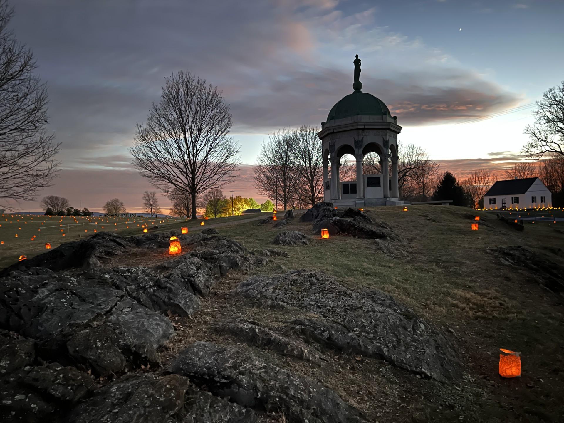
Monocacy National Battlefield
National Battlefield
During the summer of 1864, the Confederacy carried out a bold plan to turn the tide of the Civil War in their favor. They planned to capture Washington, DC and influence the election of 1864. On July...
Preserving America's early transportation history, the C&O Canal began as a dream of passage to Western wealth. Operating for nearly 100 years the canal was a lifeline for communities along the Potoma...
23,000 soldiers were killed, wounded or missing after twelve hours of savage combat on September 17, 1862. The Battle of Antietam ended the Confederate Army of Northern Virginia's first invasion into...
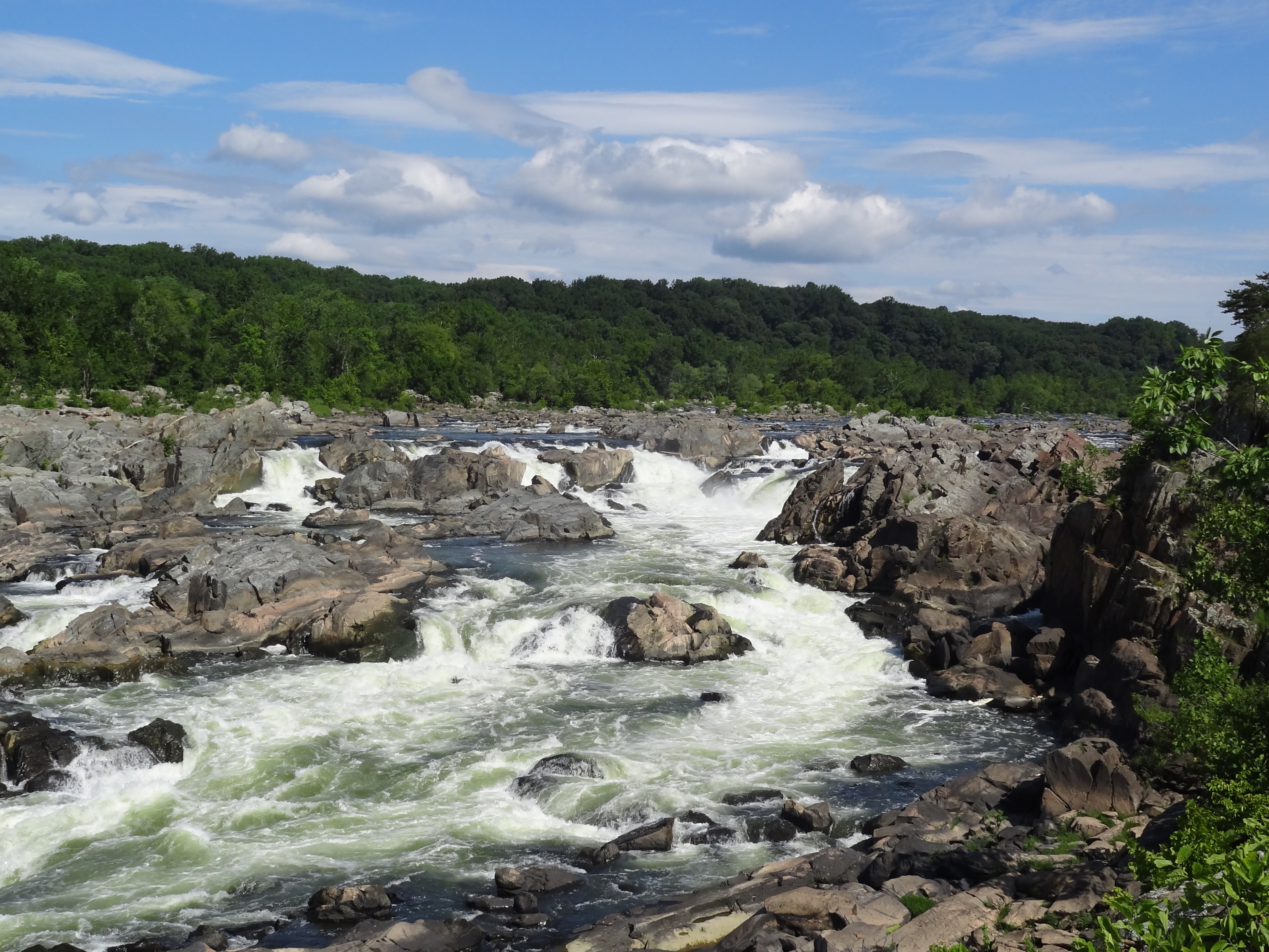
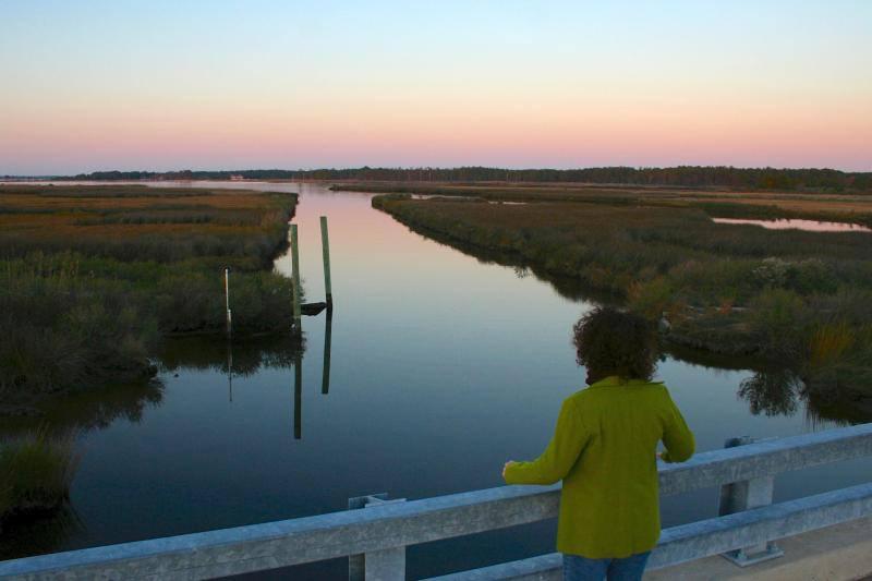
The Potomac River corridor is rich in both history and recreation, offering a chance to both explore your heritage and choose your adventure along the way. Start your journey here!
14 mi from route
~35 min detour
Free
near mile 35.8
At the confluence of the Shenandoah and Potomac rivers, on the ancestral home of the Tuscarora and Shawnee people, lies Harpers Ferry. Here you can explore John Brown's Raid against slavery. Find your...
15 mi from route
~39 min detour
$20
near mile 13.4
Harriet Tubman Underground Railroad National Historical Park
National Historical Park
Harriet Tubman was a deeply spiritual woman who lived her ideals and dedicated her life to freedom. She is the Underground Railroad’s best known conductor and before the Civil War repeatedly risked he...
17 mi from route
~42 min detour
Free
near mile 125.3
Park data from the National Park Service API. Alerts update every 2 hours.
More Details
What kind of drive is this?
This route is characterized as a 'turn-heavy local drive,' despite a highway share of 8%. While you'll spend some time on major arteries like the Eisenhower Memorial Highway, the Capital Beltway, and Dwight D. Eisenhower Highway, the majority of your journey will involve navigating local roads. The longest continuous stretch you'll encounter is 22.9 miles on the Eisenhower Memorial Highway. Be prepared for more frequent adjustments and turns as you get closer to your destination.
Only 8% highway — the rest is turn-by-turn surface driving.
29 navigation steps total — most of the decisions cluster near the start and finish.
Longest single stretch: 22.9 mi on Eisenhower Memorial Highway.
How Hard Is This Drive?
9/10
Expect a hands-on drive with frequent turns and local roads rather than long highway stretches. This route has several spots where lane changes, forks, or exits need your full attention. The trickiest moment comes around 25.1 miles in near I 70 Exit 53.
Driving Effort9/10
High effort - long or complex enough to need steady focus all day
Balances navigation complexity with total wheel time.
This is a demanding drive. With 17 significant decision points across 129.8 miles, you will need to stay alert - especially through interchange areas and urban stretches. Consider splitting it into segments if you are not comfortable with fast highway navigation.
Where does it get tricky?
The main spots that need attention: at 25.1 miles (I 70 Exit 53): Exit ramp - move to the correct lane early. Lane positioning matters here; at 48.4 miles (I 270): Highway fork - watch signs carefully. Lane positioning matters here; at 55 miles (I 270): Highway fork - watch signs carefully. Lane positioning matters here. Multiple destination signs - pick the right one.
Elevation Profile
Mostly flat terrain
919 ft67 ft
Total Climb
700 ft
Total Descent
1,130 ft
Highest Point
919 ft
~9.3 mi in
Elevation Range
852 ft
Towns Mentioned on Route Signs
Based on OSRM destination-sign hints, not a full list of every settlement the road passes.
Between Hagerstown, MD and Chesapeake Ranch Estates, MD, road signs point toward College Park and Upper Marlboro.
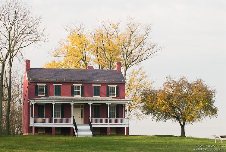
Hagerstown, nicknamed The Hub City, is a charming city on the edge of the Appalachian Mountains and near the Potomac River in northwestern Maryland, United States.
Top landmarks
•Washington County Museum of Fine Arts — art museum in Hagerstown, Maryland, United States
•Hager House — historic house in Maryland, United States
•Hagerstown City Park — historic public urban park in Hagerstown, Maryland, United States
Doable as a same-day drive at 2h 57m. Total distance: 129.8 miles.
Family Friendly
Moderate complexity with 1 natural rest stops along the way.
Solo Traveler
2h 57m drive, comfortable solo distance.
Scenic Drive
Mostly surface roads route profile with national parks nearby.
Frequently Asked Questions
The longest stretch is about 22.9 miles on Eisenhower Memorial Highway. The full list of main roads is in the Roads section above.
Yes — we found about 3 rest areas or service plazas within a short detour of the route (from OpenStreetMap). See the Rest Stops tab under Nearby Places for locations and mile markers. Plan to stretch, use the bathroom, and top off fluids every 2–3 hours on longer drives.
It helps. This route has a higher-than-average number of complex decision points, which get harder in the dark. If the last hour of the trip is on surface roads or mountain grades, aim to arrive at Chesapeake Ranch Estates, MD before sunset when you can. Check the Trip Plan for departure windows that land you in daylight.
Only with planning. This is a long drive for kids — consider splitting it into two days rather than pushing through. Plan at least 1 meaningful breaks. There are 3 rest areas along the route for bathroom stops.
The main spots that need attention: at 25.1 miles (I 70 Exit 53): Exit ramp - move to the correct lane early. Lane positioning matters here; at 48.4 miles (I 270): Highway fork - watch signs carefully. Lane positioning matters here; at 55 miles (I 270): Highway fork - watch signs carefully. Lane positioning matters here. Multiple destination signs - pick the right one.
Yes — Monocacy National Battlefield, Chesapeake & Ohio Canal National Historical Park and Antietam National Battlefield (6 total within detour distance). See the National Parks section for detour distances and tips on detours.
Yes. A round trip is manageable in a single day if you plan a break at Chesapeake Ranch Estates, MD before heading back.