Traveling from Columbus to Blackshear covers 207.2 miles across the heart of Georgia, typically taking about 4 hours and 33 minutes of drive time. This trip works perfectly as a single-day journey, allowing you to reach your destination without the need for an overnight stay. You can expect to budget roughly $33 for fuel, making it a relatively affordable trek through the Southeast. The route utilizes a combination of US 82, US 280, and Victory Drive to navigate between these two points. By staying on this path, you get a straightforward connection that balances distance and travel time effectively.
Trip Pace
Same-day drive is realistic
A same-day return is possible, but it will make for a full day on the road.
Break Rhythm
1 planned break
Plan on a short reset every 3 to 4 hours to stay fresh behind the wheel.
Midpoint
103.6 miles from Columbus, GA
A natural place for your longest stop of the day
, about 2h 16m into the drive
.
Main Roads
Road
Distance
Duration
US 82
83.2 mi
1h 45m
US 280
18.6 mi
21m
Victory Drive
16.3 mi
24m
Wall Street
16 mi
19m
Sylvester Highway
15.3 mi
21m
Albany Highway
14.2 mi
17m
Liberty Expressway
8.1 mi
10m
Columbus Highway
8 mi
9m
Longest stretch:
US 82
— 83.2 mi, about 1h 45m
Turn-by-Turn Driving Directions
Step-by-step road directions between Columbus, GA and Blackshear, GA.
1
Start on US 27; GA 1
0.5 mi·1 min·Veterans Parkway
2
Turn left onto US 27; US 280; GA 1; GA 520
0.7 mi·1 min·4th Street
3
Continue on US 27; US 280; GA 1; GA 520
16 mi·24 min·Victory Drive
4
Continue on US 280; GA 520
3.3 mi·3 min·US 280; GA 520
Use the straight lane.
5
Continue on US 280; GA 520
15 mi·17 min·US 280; GA 520
Use the straight / right lanes.
6
Continue on GA 520
16 mi·19 min·Wall Street
7
Continue on GA 520
1.0 mi·1 min·North Parrott Street
8
Continue on GA 520
8.0 mi·9 min·Columbus Highway
9
Continue on GA 45; GA 520
0.5 mi·43 sec·Martin Luther King Jr Drive
10
Continue on GA 45; GA 520
0.2 mi·27 sec·Roundtree Drive
11
Continue on GA 45; GA 520
0.3 mi·33 sec·Vine Street Northwest
12
Continue on GA 45; GA 520
0.6 mi·1 min·Rountree Drive Southwest
Use the straight / right lanes.
13
Continue on US 82; GA 520
1.1 mi·1 min·Forrester Drive Southeast
14
Continue on US 82; GA 520
5.4 mi·6 min·Albany Highway
15
Turn straight onto US 82; GA 520
1.0 mi·1 min·Highway Street
16
Continue on US 82; GA 520
8.8 mi·10 min·Albany Highway
Use the straight lane.
17
Keep slight right at fork onto US 82; GA 520
8.1 mi·10 min·Liberty Expressway
Toward US 82 East, GA 520 East: Tifton, Camilla
18
Take the exit onto US 82; GA 520
0.4 mi·54 sec·US 82; GA 520
Exit 3Toward US 82 East, GA 520: Sylvester, Tifton
19
Turn left onto US 82; GA 520
5.4 mi·8 min·Clark Avenue
Use the straight / right lanes.
20
Continue on US 82; GA 520
15 mi·21 min·Sylvester Highway
Use the straight / right lanes.
21
Continue on US 82; GA 520
18 mi·25 min·US 82; GA 520
Use the slight right lane.
22
Continue on US 82; US 319; GA 35; GA 520
1.5 mi·2 min·5th Street East
Use the straight / right lanes.
23
Continue on US 82; GA 520
15 mi·18 min·US 82; GA 520
Use the straight / right lanes.
24
Continue on US 82; US 129; GA 11; GA 520
1.1 mi·1 min·US 82; US 129; GA 11; GA 520
Use the straight lane.
25
Continue on US 82; GA 520
26 mi·32 min·US 82; GA 520
Use the straight / right lanes.
26
Continue on US 82; GA 520
23 mi·26 min·US 82; GA 520
27
Turn right onto Fulford Road
0.5 mi·57 sec·Fulford Road
28
At end of road, turn left onto Albany Avenue
4.9 mi·8 min·Albany Avenue
Use the left lane.
29
Turn left onto US 84; US 1 Business; GA 38
3.1 mi·5 min·Plant Avenue
Use the left lane.
30
Continue on US 84; GA 38
6.1 mi·8 min·US 84; GA 38
Use the straight lane.
31
Turn right onto GA 15; GA 121
26 ft·0 sec·West Main Street
32
Arrive at destination
GA 15; GA 121
Trip Plan
Since this is a straightforward 4-hour and 33-minute drive, plan for at least one dedicated stop to stretch your legs and refuel. Leaving early in the day is your best strategy to avoid fatigue and ensure you reach Blackshear with plenty of daylight remaining. Given the 83.2-mile stretch on US 82, make sure your tank is topped off before hitting that section to avoid any mid-stretch fuel anxiety. Use the flexibility of this one-day itinerary to pace yourself, as you are not under pressure to reach a halfway point for an overnight stay.
Morning Departure
An early start around 7-8 AM gets you there with plenty of daylight left.
Evening Departure
A late afternoon start means arriving after dark. Morning is better.
You can normally do this drive in one day.
Plan roughly 1 meaningful break for fuel, food, and rest.
The halfway point lands around 103.6 miles from Columbus, GA, or about 2h 16m into the drive.
The longest continuous stretch on this route runs about 83.2 miles.
This is a comfortable same-day trip.
Departure
Before you leave
Start with fuel, water, and navigation already sorted so the first hour feels easy.
First stop
Around 46 miles or 1h in
Use this first pause for coffee, a restroom break, and a quick traffic check ahead.
Halfway reset
Around 103.6 miles or 2h 16m in
This is the best place for your longest stop, a real meal, and a full fuel check.
Final approach
Final hour starts around 3h 43m
Traffic, exits, and arrival timing usually matter more near Blackshear, GA than in the middle of the route.
Before You Leave
+
Open the route before leaving Columbus, GA so your first major turns are already loaded.
+
Leave with enough water and a charging cable within reach, not packed away.
+
Check your fuel range against the first long segment, especially if you are starting outside city service areas.
Day 1
Settle into the route from Columbus, GA
This is one driving day of about 207.2 miles and 4h 33m.
Your first comfortable stop window is around 46 miles from Columbus, GA.
This route can stay practical as a one-day drive if traffic stays reasonable.
Plan about 1 real break rather than only quick fuel stops.
The longest stretch is on US 82 for about 83.2 miles.
Where to Stop
Rest stops, refuel points, and overnight suggestions along this route.
Place data sourced from public business listings. Hours and availability may vary.
Heads-up: tricky spots
5 of 6
5 decision points cluster between mile 78.9 and 198 — GPS handles the exact turns, but know they're coming. Your lane choice matters more than the turn itself.
6
78.9 mi into trip|~1h 41m in|US 82; GA 520 / Liberty Expressway
Keep slight right at fork onto US 82; GA 520 / Liberty Expressway toward US 82 East, GA 520 East: Tifton, Camilla
Highway fork - watch signs carefully. Multiple destination signs - pick the right one
Toward US 82 East, GA 520 East: Tifton, Camilla
6
87.1 mi into trip|~1h 52m in|US 82; GA 520
Take the exit onto US 82; GA 520 toward US 82 East, GA 520: Sylvester, Tifton
Exit ramp - move to the correct lane early. Multiple destination signs - pick the right one
Exit 3
Toward US 82 East, GA 520: Sylvester, Tifton
4
87.5 mi into trip|~1h 52m in|US 82; GA 520 / Clark Avenue
Turn left onto US 82; GA 520 / Clark Avenue
Lane positioning matters here
Use the straight / right lanes.
6
193.1 mi into trip|~4h 11m in|Albany Avenue
At end of road, turn left onto Albany Avenue
Lane positioning matters here
Use the left lane.
5
198 mi into trip|~4h 20m in|US 84; US 1 Business; GA 38 / Plant Avenue
Turn left onto US 84; US 1 Business; GA 38 / Plant Avenue
Lane positioning matters here
Use the left lane.
Fuel & Cost
Regular Gas
$32.40 one way
$64.80 round trip
$3.97/gal25.4 MPG avg73 kg CO2
Fuel Type
$/gal
One Way
Round Trip
midgrade
$4.34
$35.43
$70.86
premium
$4.70
$38.35
$76.70
diesel
$5.61
$45.75
$91.49
No toll roads detected on this route.
Estimated Trip Cost (one way, 1 person)
Fuel
$32
Meals
$25–$50
Total
$57–$82
Rough estimate based on US averages. Hotel $80–$140/night, meals $25–$50/day.
Estimated CO2 emission: 72.5 kg one way.
Prices: EIA weekly data, 2026-04-13.
Driving Electric?
About $22 in charging
· 0 stops
· 67% less CO2
Vehicle Type
kWh
Stops
DC Fast
Home Charge
Average EV
62.2
0
$21.76
$9.95
Efficient EV
51.8
0
$18.13
$8.29
EV Truck/SUV
82.9
1
$29.01
$13.26
Gas CO2
72 kg
EV CO2
24 kg (67% less)
This trip is well within single-charge range for most EVs. No charging stops needed if you start fully charged.
DC fast charging avg $0.35/kWh. Home charging avg $0.16/kWh. US grid CO2: 0.39 kg/kWh.
Travel Intel
Current conditions at both ends of the drive.
Forecast as of Apr 16, 2026
Origin
Columbus, GA
Late night
in Columbus on Sunday
Local time
2:01 AM
EDT
Current temp
54°F
Unavailable
Live forecast
Destination
Blackshear, GA
Late night
in Blackshear on Sunday
Local time
2:01 AM
EDT
Current temp
52°F
Unavailable
Live forecast
54°F
Albany, GA
104 mi in
Seasonal Notes
Summer travel usually means heavier construction, hotter rest stops, and busier weekend traffic around major cities.
Winter travel shortens daylight, so a route that looks manageable on paper can feel much longer after dark.
Holiday weekends tend to make both departure and arrival windows slower than the raw route time suggests.
Time zone
Same local time
Origin and destination are on the same clock, so arrival timing is easier to judge at a glance.
Temperature spread
2 degrees cooler at arrival
A meaningful temperature swing is a good cue to rethink layers, water, and how soon you want to arrive.
Road read
4h 33m on the road
An early start around 7-8 AM gets you there with plenty of daylight left.
Weather data from the National Weather Service. Conditions may change; check closer to your travel date.
National Parks Near This Route
Worth a detour if your schedule allows.
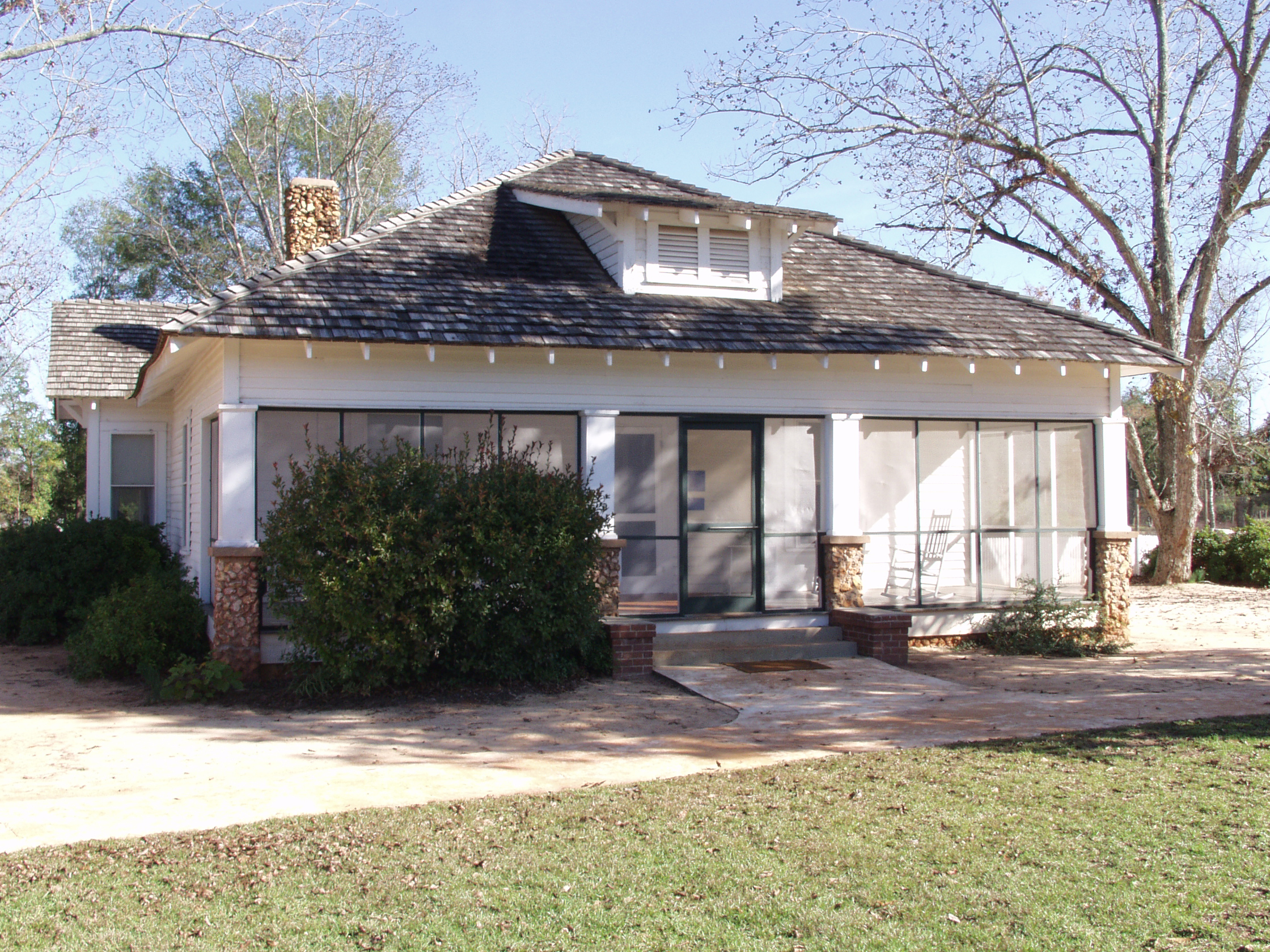
Jimmy Carter National Historical Park
National Historical Park
Few U.S. Presidents have had such close ties with where they were born and raised. The rural southern culture of Plains, Georgia revolves around farming, church, and school, which had a large influenc...
Park data from the National Park Service API. Alerts update every 2 hours.
More Details
What kind of drive is this?
Expect a mixed driving experience on this route, as roughly 56% of your time will be spent on highways. The road transitions through varying environments, keeping the journey from feeling like a monotonous interstate grind. You will face a longest uninterrupted stretch of 83.2 miles while traveling along US 82, which serves as a significant portion of your transit. Because the drive is classified as a mixed profile, you should be prepared for shifts in road quality and traffic density as you move between local roads and larger thoroughfares.
56% highway, the rest on surface roads — varied driving throughout.
32 navigation steps total — most of the decisions cluster near the start and finish.
Longest single stretch: 83.2 mi on US 82.
How Hard Is This Drive?
4/10
This route mixes highway mileage with some local-road sections near the start or finish. There are only a few real navigation decisions along the way. The trickiest moment comes around 78.9 miles in near US 82; GA 520 / Liberty Expressway.
Driving Effort4/10
Easy - simple navigation with a manageable amount of wheel time
Balances navigation complexity with total wheel time.
This is a straightforward 4h 33m drive. You will face about 6 decision points, but nothing that requires special attention if you follow navigation.
Where does it get tricky?
The main spots that need attention: at 78.9 miles (US 82; GA 520 / Liberty Expressway): Highway fork - watch signs carefully. Multiple destination signs - pick the right one; at 87.1 miles (US 82; GA 520): Exit ramp - move to the correct lane early. Multiple destination signs - pick the right one; at 87.5 miles (US 82; GA 520 / Clark Avenue): Lane positioning matters here.
Towns Mentioned on Route Signs
Based on OSRM destination-sign hints, not a full list of every settlement the road passes.
Between Columbus, GA and Blackshear, GA, road signs point toward Camilla and Tifton.
Camilla
78.9 mi in|~1h 41m|via US 82; GA 520
Tifton
87.1 mi in|~1h 52m|via US 82; GA 520
Who Is This Route For?
Weekend Trip
Doable as a same-day drive at 4h 33m. Total distance: 207.2 miles.
Family Friendly
Moderate complexity with 1 natural rest stops along the way.
Mixed highway & surface route profile with national parks nearby.
Frequently Asked Questions
The longest stretch is about 83.2 miles on US 82. The full list of main roads is in the Roads section above.
We did not find dedicated rest areas on this route. For a drive this long, plan bathroom and stretch breaks around gas stations, fast-food stops, or small-town downtowns — check the Nearby Places section for options.
Yes, with realistic expectations. Build in a stop roughly every 2 hours, have snacks and activities ready, and check the Nearby Places tabs for kid-friendly stops along the way.
The main spots that need attention: at 78.9 miles (US 82; GA 520 / Liberty Expressway): Highway fork - watch signs carefully. Multiple destination signs - pick the right one; at 87.1 miles (US 82; GA 520): Exit ramp - move to the correct lane early. Multiple destination signs - pick the right one; at 87.5 miles (US 82; GA 520 / Clark Avenue): Lane positioning matters here.
Yes — Jimmy Carter National Historical Park. See the National Parks section for detour distances and tips on detours.
Possible but tiring. At 4.6 hours each way, an in-and-out day trip would put you behind the wheel for 9.1 hours — manageable with a long break at Blackshear, GA, but most travelers stay overnight.