Origin
Burton, SC
Late night in Burton on Sunday
Local time
3:59 AM
EDT
Current temp
83°F
Unavailable
Live forecast
Compiled and reviewed by the US Trip Planner planning team at COD Solutions Oy · Last reviewed Apr 19, 2026 · Editorial standards
Drive Time
3h 45m
Distance
163.1 mi
262 km
Drive Score
8/10
Great drive
Same Day?
Yes, doable
Fuel Cost
$26
one way
EV Charging
Unknown
Estimated drive times based on typical traffic patterns. Actual times may vary with weather, construction, and real-time conditions.

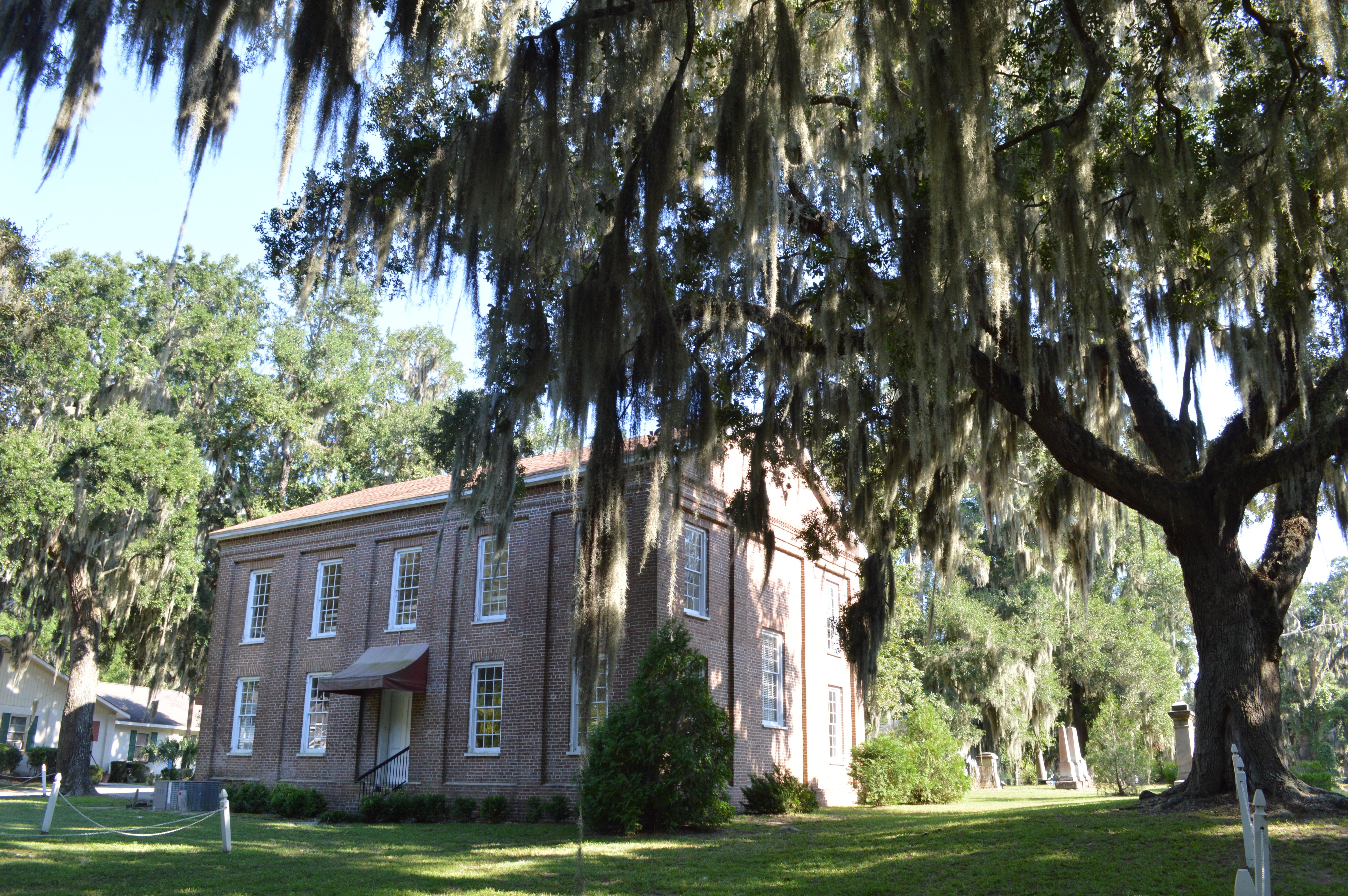
Burton, SC
Just a Couple Photos

Myrtle Beach, SC
Wikimedia Commons
Burton, SC to Myrtle Beach, SC is 163.1 miles and takes about 3h 45m via US 17, Ocean Highway, and Trask Parkway, with a fuel budget near $26 and enough daylight to finish in a day. This drive stays within South Carolina, traversing the Southeast region. It's primarily a highway-focused trip, making it a straightforward journey. With a recommended one-day drive time, you'll likely find this route efficient for reaching your destination.
Trip Pace
Same-day drive is realistic
A same-day return is realistic if you keep stops short.
Break Rhythm
1 planned break
A short stop every 2 to 3 hours is enough for this drive.
Midpoint
81.5 miles from Burton, SC
A natural place for your longest stop of the day , about 1h 55m into the drive .
| Road | Distance | Duration |
|---|---|---|
| US 17 | 119.2 mi | 2h 41m |
| Ocean Highway | 17.4 mi | 25m |
| Trask Parkway | 11.6 mi | 14m |
| Highway 17 | 7 mi | 8m |
| US 501 | 2 mi | 3m |
| Church Street | 1.3 mi | 2m |
| US Highway 17 Bypass South | 1.2 mi | 1m |
| Septima Clark Expressway | 0.6 mi | 1m |
Step-by-step road directions between Burton, SC and Myrtle Beach, SC.
Start on US 21
At end of road, turn left onto US 21
Take the exit
Merge onto US 17
Turn straight onto US 17
Continue on US 17
Continue on US 17
Keep slight right at fork onto US 17
Continue on US 17
Keep slight right at fork onto US 17
Merge onto US 17
Continue on US 17
Continue on US 17
Continue on US 17
Take the exit onto US 17
Continue on US 17
Continue on US Highway 17 Bypass South
Take the exit
Turn straight onto US 501
Turn slight right onto 8th Avenue North
Turn right onto US 17 Business
Turn left onto 5th Avenue North
Turn right
Arrive at destination
Given the 3h 45m estimated drive time, leaving in the morning from Burton, SC, will give you ample time to reach Myrtle Beach without feeling rushed. The fuel cost is estimated at $26, so plan accordingly. While the longest stretch is over 100 miles, you'll have opportunities to stop, though the data indicates only one planned stop. Keep an eye on your fuel gauge, especially during that long 119.2-mile segment on US 17, as services might be more spaced out.
Morning Departure
An early start around 7-8 AM gets you there with plenty of daylight left.
Evening Departure
A late afternoon start means arriving after dark. Morning is better.
This is a comfortable same-day trip.
Departure
Before you leave
Start with fuel, water, and navigation already sorted so the first hour feels easy.
First stop
Around 36 miles or 48m in
Use this first pause for coffee, a restroom break, and a quick traffic check ahead.
Halfway reset
Around 81.5 miles or 1h 55m in
This is the best place for your longest stop, a real meal, and a full fuel check.
Final approach
Final hour starts around 3h 4m
Traffic, exits, and arrival timing usually matter more near Myrtle Beach, SC than in the middle of the route.
Open the route before leaving Burton, SC so your first major turns are already loaded.
Leave with enough water and a charging cable within reach, not packed away.
Check your fuel range against the first long segment, especially if you are starting outside city service areas.
Day 1
Settle into the route from Burton, SC
This is one driving day of about 163.1 miles and 3h 45m.
Rest stops, refuel points, and overnight suggestions along this route.

Mid-route town
Meal stop
82 mi into the route
Best for: Lunch, fuel, and a longer reset
This sits close to the middle of the route, so it works well for the longest stop of the day.
A short stop after about 36 miles helps settle the day before fatigue starts building.
The midpoint is around 81.5 miles from Burton, SC, which is a good place for a longer meal and fuel stop.
Before the longest stretch
Fuel checkTop up before US 17 if your tank is already low. That segment runs about 119.2 miles.
These stop ideas are pacing suggestions — the exact town or exit can change with traffic, hotel plans, and fuel range.
5 decision points cluster between mile 12.5 and 163 — GPS handles the exact turns, but know they're coming. Your lane choice matters more than the turn itself.
Merge onto US 17
Merge point - match speed before joining. Lane positioning matters here
Keep slight right at fork onto US 17 toward US 17 North: Mount Pleasant, Georgetown
Highway fork - watch signs carefully. Lane positioning matters here. Multiple destination signs - pick the right one
Take the exit onto US 17 toward US 17 North: Myrtle Beach, North Myrtle Beach
Exit ramp - move to the correct lane early. Lane positioning matters here. Multiple destination signs - pick the right one
Turn right onto US 17 Business / North Kings Highway
Navigation decision point
Turn left onto 5th Avenue North
Navigation decision point
Regular Gas
$25.51 one way
$51.01 round trip
| Fuel Type | $/gal | One Way | Round Trip |
|---|---|---|---|
| midgrade | $4.34 | $27.89 | $55.78 |
| premium | $4.70 | $30.19 | $60.37 |
| diesel | $5.61 | $36.01 | $72.02 |
No toll roads detected on this route.
Estimated Trip Cost (one way, 1 person)
Fuel
$26
Meals
$25–$50
Total
$51–$76
Rough estimate based on US averages. Hotel $80–$140/night, meals $25–$50/day.
Estimated CO2 emission: 57.1 kg one way. Prices: EIA weekly data, 2026-04-13.
Driving Electric?
About $17 in charging · 0 stops · 67% less CO2
| Vehicle Type | kWh | Stops | DC Fast | Home Charge |
|---|---|---|---|---|
| Average EV | 48.9 | 0 | $17.13 | $7.83 |
| Efficient EV | 40.8 | 0 | $14.27 | $6.52 |
| EV Truck/SUV | 65.2 | 0 | $22.83 | $10.44 |
Gas CO2
57 kg
EV CO2
19 kg (67% less)
This trip is well within single-charge range for most EVs. No charging stops needed if you start fully charged.
DC fast charging avg $0.35/kWh. Home charging avg $0.16/kWh. US grid CO2: 0.39 kg/kWh.
Current conditions at both ends of the drive.
Origin
Late night in Burton on Sunday
Local time
3:59 AM
EDT
Current temp
83°F
Unavailable
Destination
Late night in Myrtle Beach on Sunday
Local time
3:59 AM
EDT
Current temp
58°F
Unavailable
Seasonal Notes
Summer travel usually means heavier construction, hotter rest stops, and busier weekend traffic around major cities.
Winter travel shortens daylight, so a route that looks manageable on paper can feel much longer after dark.
Holiday weekends tend to make both departure and arrival windows slower than the raw route time suggests.
Time zone
Origin and destination are on the same clock, so arrival timing is easier to judge at a glance.
Temperature spread
A meaningful temperature swing is a good cue to rethink layers, water, and how soon you want to arrive.
Road read
Use the two city cards together: check the sky where you start, then compare it with the local time and temperature at arrival.
Weather data from the National Weather Service. Conditions may change; check closer to your travel date.
Worth a detour if your schedule allows.

National Historical Park
Two forts stand at the entrance of Charleston Harbor. Patriots inside a palmetto log fort, later named Fort Moultrie, defeated the Royal Navy in 1776. As Charleston blazed a path towards secession to...
National Historical Park
The Reconstruction era,1861-1900 the historic period in which the United States grappled with the question of how to integrate millions of newly freed African Americans into social, political, economi...
Park data from the National Park Service API. Alerts update every 2 hours.
This route is an 87% highway-focused drive, meaning you'll spend most of your time on faster roads. Expect a significant uninterrupted stretch of 119.2 miles on US 17. The primary roads include US 17, Ocean Highway, and Trask Parkway, suggesting a mix of highway and potentially some stretches that feel more like a scenic parkway. The overall character is one of steady progress rather than winding backroads.
This is a straightforward highway drive that stays mostly on US 17 and Ocean Highway. This route has several spots where lane changes, forks, or exits need your full attention. The trickiest moment comes around 12.5 miles in near US 17.
Demanding - plan breaks and stay ahead of the key maneuvers
Balances navigation complexity with total wheel time.
This is a demanding drive. With 12 significant decision points across 163.1 miles, you will need to stay alert - especially through interchange areas and urban stretches. Consider splitting it into segments if you are not comfortable with fast highway navigation.
Where does it get tricky?
The main spots that need attention: at 12.5 miles (US 17): Merge point - match speed before joining. Lane positioning matters here; at 66.8 miles (US 17): Highway fork - watch signs carefully. Lane positioning matters here. Multiple destination signs - pick the right one; at 148.6 miles (US 17): Exit ramp - move to the correct lane early. Lane positioning matters here. Multiple destination signs - pick the right one.
Based on OSRM destination-sign hints, not a full list of every settlement the road passes.
On the drive from Burton, SC to Myrtle Beach, SC, road signs begin pointing toward Georgetown along the way.
Georgetown
Weekend Trip
Doable as a same-day drive at 3h 45m. Total distance: 163.1 miles.
Family Friendly
Moderate complexity with 1 natural rest stops along the way.
Solo Traveler
3h 45m drive, comfortable solo distance.
First-Time Driver
Mostly highway driving (87%). Some complex stretches to watch for.
Compiled by the US Trip Planner planning team at COD Solutions Oy from open government datasets — OSRM over OpenStreetMap for geometry, EIA for fuel prices, and NPS for national parks. See our methodology for refresh cadence and limitations.
Was this helpful?
Thanks for your feedback!
Your tip has been submitted. Thanks!
/500
Recent Tips
·
Explore more options from Burton, SC or browse trips ending in Myrtle Beach, SC.
Looking for more statewide routes? Browse SC road trips.