Driving from Brownsville to Galveston covers 397.1 miles, a journey that typically takes 7 hours and 53 minutes. Because this is a highway-focused route utilizing U.S. Highway 77 and US Highway 59 South, you can comfortably complete the trip in a single day if you start early. Budgeting approximately $61 for fuel will get you from the southern tip of Texas to the coast. Both cities are situated within the Great Plains region, meaning you will experience consistent terrain throughout your travel. While an overnight split is not strictly necessary, having the flexibility to take two planned stops will make the nearly eight-hour trek much more manageable. This route is a straightforward, practical choice for travelers prioritizing efficiency over rural detours.
Trip Pace
Same-day drive is realistic
A same-day return is possible, but it will make for a full day on the road.
Break Rhythm
2 planned breaks
Plan on a short reset every 3 to 4 hours to stay fresh behind the wheel.
Midpoint
198.6 miles from Brownsville, TX
A natural place for your longest stop of the day
, about 4h 1m into the drive
.
Main Roads
Road
Distance
Duration
U.S. Highway 77
126.7 mi
2h 20m
US Highway 59 South
88.6 mi
1h 38m
US 77
37.6 mi
44m
United States Highway 77
33 mi
37m
Gulf Freeway
32 mi
37m
South Sam Houston Tollway West
21 mi
24m
Southwest Freeway
20.1 mi
22m
North Expressway
10.6 mi
12m
Longest stretch:
U.S. Highway 77
— 126.7 mi, about 2h 20m
Traffic on I-69
Hour-of-day weekday pattern from 6 FHWA count stations on your route.
Peak
4 PM
~682 veh/hr typical
· worst 936
Quietest
2 AM
~109 veh/hr
Peak-to-quiet ratio
6.3×
busier at peak than in the quiet hours
12a6anoon6p11p
Averaged across 51 weeks of 2023 FHWA Travel Monitoring Analysis System data. Weekday hours only (Mon–Fri).
Turn-by-Turn Driving Directions
Step-by-step road directions between Brownsville, TX and Galveston, TX.
1
Start on US 77 Business
0.3 mi·40 sec·East Washington Street
2
Turn right onto East 7th Street
0.9 mi·1 min·East 7th Street
3
Turn left onto North Frontage Road
0.2 mi·20 sec·North Frontage Road
4
Take the ramp
0.4 mi·54 sec
Toward I 69E North, US 77 North, US 83 NorthUse the left lane.
5
Merge onto I 69E; US 77; US 83
11 mi·12 min·North Expressway
Use the straight / slight right lanes.
6
Continue on I 69E; US 77; US 83
102 mi·1 hr 53 min·U.S. Highway 77
Use the straight / slight right lanes.
7
Keep slight left at fork
0.2 mi·14 sec
8
Merge onto I 69E; US 77
1.2 mi·1 min·I 69E; US 77
9
Continue on U.S. Highway 77
12 mi·12 min·U.S. Highway 77
10
Take the exit
0.3 mi·34 sec
11
Turn straight onto US Highway 77 Frontage Road
485 ft·17 sec·US Highway 77 Frontage Road
12
Turn right onto County Road 10
1.0 mi·4 min·County Road 10
13
Turn left onto County Road 79
4.0 mi·15 min·County Road 79
14
Turn left onto County Road 18
0.2 mi·43 sec·County Road 18
15
Turn sharp right
1.1 mi·2 min
16
Take the ramp
0.4 mi·57 sec
17
Merge onto US 77
2.3 mi·2 min·Driscoll Bypass
18
Continue on US 77
13 mi·14 min·U.S. Highway 77
19
Merge onto I 37; US 77; I 69E
1.4 mi·1 min·I 37; US 77; I 69E
20
Keep slight left at fork
0.8 mi·50 sec
21
Continue on I 37; US 77; I 69E
463 ft·5 sec·I 37; US 77; I 69E
22
Take the exit onto US 77
38 mi·44 min·US 77
Toward Sinton, Victoria
23
Turn slight right onto US 77
33 mi·37 min·United States Highway 77
24
Keep slight left at fork onto Spur 91
1.5 mi·1 min·Spur 91
25
Merge onto US 59
89 mi·1 hr 38 min·US Highway 59 South
26
Take the exit
0.3 mi·37 sec
27
Continue on 59 Northbound Frontage Road
1.6 mi·2 min·59 Northbound Frontage Road
28
Continue on this road
0.4 mi·58 sec·this road
29
Continue on US 59 Northbound Frontage Road
2.0 mi·4 min·US 59 Northbound Frontage Road
30
Continue on Southwest Freeway Frontage Road
1.3 mi·2 min·Southwest Freeway Frontage Road
31
Take the ramp
0.2 mi·31 sec
Toward I 69 North, US 59 North
32
Merge onto I 69; US 59
20 mi·22 min·Southwest Freeway
Use the straight / slight right lanes.
33
Take the exit
0.2 mi·17 sec
Exit 115Toward Sam Houston TollwayUse the straight / slight right lanes.
34
Keep slight right at fork
0.6 mi·52 sec
Use the slight left / slight right lanes.
35
Merge onto BW 8
0.1 mi·10 sec·South Sam Houston Parkway West
36
Continue on SHT
21 mi·24 min·South Sam Houston Tollway West
Use the straight / slight right lanes.
37
Continue on BW 8
0.2 mi·16 sec·South Sam Houston Parkway East
38
Take the exit
0.7 mi·50 sec
Toward I 45 North, I 45 South: Houston, GalvestonUse the right lane.
39
Keep slight right at fork
0.6 mi·57 sec
Toward I 45 South: GalvestonUse the slight right lane.
40
Merge onto I 45
32 mi·37 min·Gulf Freeway
Use the straight / slight right lanes.
41
Continue on TX 87
2.3 mi·3 min·Broadway - Avenue J
42
Turn left onto Martin Luther King Boulevard - 29th Street
0.1 mi·20 sec·Martin Luther King Boulevard - 29th Street
43
Turn right onto Ball Street - Avenue H
0.1 mi·26 sec·Ball Street - Avenue H
44
Turn left onto 27th Street
259 ft·11 sec·27th Street
45
Arrive at destination
27th Street
Trip Plan
To maximize your comfort, aim to depart Brownsville early in the morning to beat potential traffic and ensure you arrive in Galveston with daylight to spare. Since the trip spans nearly eight hours, pacing yourself with at least two stops is essential to stay alert during the long highway stretches. Keep a close eye on your fuel gauge, especially during the 126.7-mile stretch on U.S. Highway 77, where service stations may be further apart than in urban corridors. Planning your two stops in advance will help you maintain a steady pace and avoid fatigue. Given the high highway percentage, using cruise control where appropriate can help keep your fuel consumption closer to the $61 estimate.
Morning Departure
Start early — leave by 6-7 AM to arrive at a reasonable hour.
Evening Departure
This is a long drive — plan for a morning departure or consider splitting it into two days.
You can normally do this drive in one day.
Plan roughly 2 meaningful breaks for fuel, food, and rest.
The halfway point lands around 198.6 miles from Brownsville, TX, or about 4h 1m into the drive.
The longest continuous stretch on this route runs about 126.7 miles.
This is a comfortable same-day trip.
Departure
Before you leave
Start with fuel, water, and navigation already sorted so the first hour feels easy.
First stop
Around 87 miles or 1h 38m in
Use this first pause for coffee, a restroom break, and a quick traffic check ahead.
Halfway reset
Around 198.6 miles or 4h 1m in
This is the best place for your longest stop, a real meal, and a full fuel check.
Final approach
Final hour starts around 6h 41m
Traffic, exits, and arrival timing usually matter more near Galveston, TX than in the middle of the route.
Before You Leave
+
Open the route before leaving Brownsville, TX so your first major turns are already loaded.
+
Leave with enough water and a charging cable within reach, not packed away.
+
Check your fuel range against the first long segment, especially if you are starting outside city service areas.
+
Pick one backup stop option before the midpoint in case traffic changes your pacing.
Day 1
Settle into the route from Brownsville, TX
This is one driving day of about 397.1 miles and 7h 53m.
Your first comfortable stop window is around 87 miles from Brownsville, TX.
This route can stay practical as a one-day drive if traffic stays reasonable.
Plan about 2 real breaks rather than only quick fuel stops.
The longest stretch is on U.S. Highway 77 for about 126.7 miles.
Where to Stop
Rest stops, refuel points, and overnight suggestions along this route.
Place data sourced from public business listings. Hours and availability may vary.
Heads-up: tricky spots
5 of 29
5 decision points cluster between mile 1.4 and 361.8 — GPS handles the exact turns, but know they're coming. Your lane choice matters more than the turn itself.
6
1.4 mi into trip|~2m in
Take the ramp toward I 69E North, US 77 North, US 83 North
Lane positioning matters here. Multiple destination signs - pick the right one
Use the left lane.
Toward I 69E North, US 77 North, US 83 North
7
339 mi into trip|~6h 43m in
Take the exit toward Sam Houston Tollway
Exit ramp - move to the correct lane early. Lane positioning matters here
Use the straight / slight right lanes.
Exit 115
Toward Sam Houston Tollway
6
339.2 mi into trip|~6h 43m in
Keep slight right at fork
Highway fork - watch signs carefully. Lane positioning matters here
Use the slight left / slight right lanes.
7
361.2 mi into trip|~7h 8m in
Take the exit toward I 45 North, I 45 South: Houston, Galveston
Exit ramp - move to the correct lane early. Lane positioning matters here. Multiple destination signs - pick the right one
Use the right lane.
Toward I 45 North, I 45 South: Houston, Galvest...
7
361.8 mi into trip|~7h 9m in
Keep slight right at fork toward I 45 South: Galveston
Highway fork - watch signs carefully. Lane positioning matters here
Use the slight right lane.
Toward I 45 South: Galveston
Fuel & Cost
Regular Gas
$54.39 one way
$108.78 round trip
$3.48/gal25.4 MPG avg139 kg CO2
Fuel Type
$/gal
One Way
Round Trip
midgrade
$3.89
$60.75
$121.51
premium
$4.23
$66.05
$132.11
diesel
$4.80
$74.98
$149.96
Estimated Tolls: $1.68
Sam Houston Tollway
(21 mi)$1.68
Toll estimates based on average 2024-2025 rates. EZ-Pass/SunPass discounts may lower the actual cost.
Estimated Trip Cost (one way, 1 person)
Fuel
$54
Tolls
$2
Meals
$25–$50
Total
$81–$106
Rough estimate based on US averages. Hotel $80–$140/night, meals $25–$50/day.
Estimated CO2 emission: 138.9 kg one way.
Prices: EIA weekly data, 2026-07-13.
Driving Electric?
About $42 in charging
· 1 stop
· 67% less CO2
Vehicle Type
kWh
Stops
DC Fast
Home Charge
Average EV
119.1
1
$41.70
$19.06
Efficient EV
99.3
1
$34.75
$15.88
EV Truck/SUV
158.8
1
$55.59
$25.41
Gas CO2
139 kg
EV CO2
46 kg (67% less)
Plan for 1 charging stop. A 30-minute DC fast charge mid-route should be enough to complete the trip comfortably.
DC fast charging avg $0.35/kWh. Home charging avg $0.16/kWh. US grid CO2: 0.39 kg/kWh.
Travel Intel
Current conditions at both ends of the drive.
Forecast as of Jul 17, 2026
Origin
Brownsville, TX
Morning
in Brownsville on Sunday
Local time
11:44 AM
CDT
Current temp
80°F
Partly Cloudy
SE 8 to 13 mph1% chanceLive forecast
Flash Flood Warning
Flash Flood Warning issued July 16 at 10:46PM CDT until July 17 at 3:45AM CDT by NWS Austin/San Antonio TX
Flood Warning
Flood Warning issued July 16 at 9:36PM CDT until July 19 at 3:00AM CDT by NWS Austin/San Antonio TX
Destination
Galveston, TX
Morning
in Galveston on Sunday
Local time
11:44 AM
CDT
Current temp
83°F
Partly Cloudy then Slight Chance Showers And Thunderstorms
S 15 mph20% chanceLive forecast
Flash Flood Warning
Flash Flood Warning issued July 16 at 10:46PM CDT until July 17 at 3:45AM CDT by NWS Austin/San Antonio TX
Flood Warning
Flood Warning issued July 16 at 9:36PM CDT until July 19 at 3:00AM CDT by NWS Austin/San Antonio TX
Seasonal Notes
Summer travel usually means heavier construction, hotter rest stops, and busier weekend traffic around major cities.
Winter travel shortens daylight, so a route that looks manageable on paper can feel much longer after dark.
Holiday weekends tend to make both departure and arrival windows slower than the raw route time suggests.
Time zone
Same local time
Origin and destination are on the same clock, so arrival timing is easier to judge at a glance.
Temperature spread
3 degrees warmer at arrival
A meaningful temperature swing is a good cue to rethink layers, water, and how soon you want to arrive.
Road read
7h 53m on the road
Start early — leave by 6-7 AM to arrive at a reasonable hour.
Weather data from the National Weather Service. Conditions may change; check closer to your travel date.
National Parks Near This Route
Worth a detour if your schedule allows.
Palo Alto Battlefield National Historical Park
National Historical Park
On May 8, 1846, U.S. and Mexican troops clashed on the prairie of Palo Alto. The battle was the first in a two-year long war that changed the map of North America. Although the two countries have deve...
8 mi from route
~19 min detour
Free
near mile 13.7
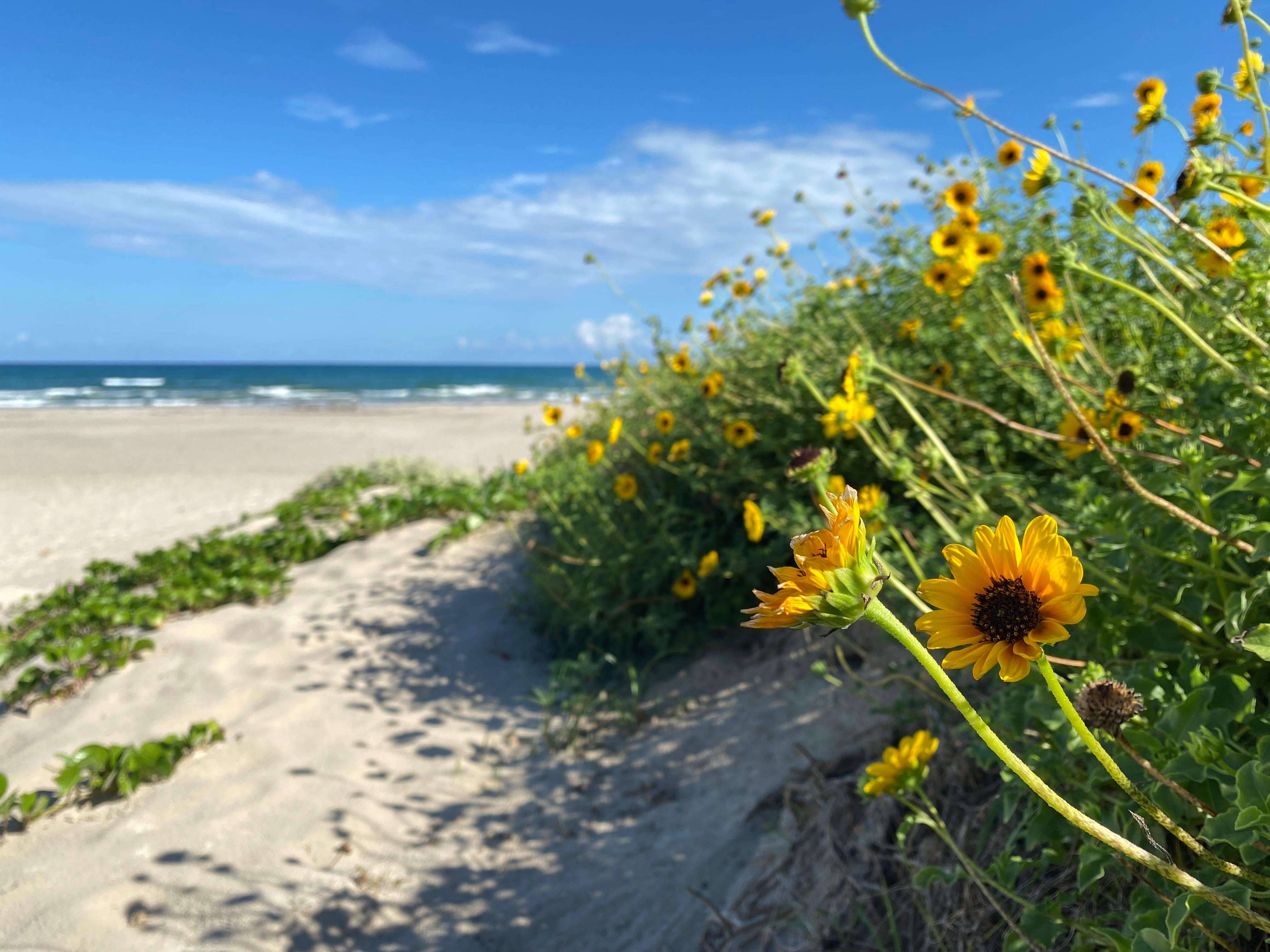
Protecting sixty-six miles of wild coastline along the Gulf of America, the narrow barrier island is home to one of the last intact coastal prairie habitats in the United States. Along the hypersaline...
27 mi from route
~68 min detour
$25
near mile 82.2
Park data from the National Park Service API. Alerts update every 2 hours.
More Details
What kind of drive is this?
Expect a focused, highway-heavy experience, as 89% of this route consists of high-speed transit. You will spend a significant portion of your time on U.S. Highway 77, which features a longest uninterrupted stretch of 126.7 miles. The road maintains a consistent pace, moving you steadily through the Texas landscape without the frequent technical turns found on local backroads. Because the drive is primarily highway-oriented, the character of the road remains fairly uniform from start to finish. You should prepare for a consistent driving rhythm that favors steady cruising over frequent navigational changes.
89% highway — fuel and pacing are the main things to plan.
45 navigation steps total — most of the decisions cluster near the start and finish.
Longest single stretch: 126.7 mi on U.S. Highway 77.
How Hard Is This Drive?
10/10
This is a straightforward highway drive that stays mostly on U.S. Highway 77 and US Highway 59 South. This route has several spots where lane changes, forks, or exits need your full attention. The trickiest moment comes around 1.4 miles in.
Driving Effort10/10
High effort - long or complex enough to need steady focus all day
Balances navigation complexity with total wheel time.
This is a demanding drive. With 29 significant decision points across 397.1 miles, you will need to stay alert - especially through interchange areas and urban stretches. Consider splitting it into segments if you are not comfortable with fast highway navigation.
Where does it get tricky?
The main spots that need attention: at 1.4 miles: Lane positioning matters here. Multiple destination signs - pick the right one; at 339 miles: Exit ramp - move to the correct lane early. Lane positioning matters here; at 339.2 miles: Highway fork - watch signs carefully. Lane positioning matters here.
Elevation Profile
Mostly flat terrain
106 ft5 ft
Total Climb
119 ft
Total Descent
149 ft
Highest Point
106 ft
~312 mi in
Elevation Range
101 ft
Towns Mentioned on Route Signs
Based on OSRM destination-sign hints, not a full list of every settlement the road passes.
Between Brownsville, TX and Galveston, TX, road signs point toward Sinton, Victoria and Sam Houston Tollway.
Located at the southernmost tip of Texas, Brownsville is a popular location for Mexican and American beach tourists. It is part of the Rio Grande Valley, a four-county region known for its abundance in citrus fruit production and Winter Texan population. The city features a combination of different climate regimes: Gulf Coast plains and the Great Plains. There is a lot to do in this city: historical museums, art galleries, beaches, birding locations and natural wildlife refuges. As Brownsville is a border town, its culture is predominantly Hispanic.
Galveston is a city on Galveston Island, off the Texas Gulf Coast, approximately 45 minutes southeast of Houston. Galveston is a port of entry and a destination for almost all the cruise ships with ports of call in Texas. Many Houstonians have beach houses in Galveston or elsewhere in Galveston County where they sometimes relocate during the summer, or simply drive to Galveston to enjoy the local beach. This article also covers Port Bolivar, which is just to the northeast, an 18-minute ferry ride away.
Top landmarks
•USS Cavalla — 1943 Gato-class submarine
•Hotel Galvez — historic place in Galveston, Galveston County, Texas
Doable as a same-day drive at 7h 53m. Total distance: 397.1 miles.
Family Friendly
Moderate complexity with 2 natural rest stops along the way.
Solo Traveler
7h 53m drive, plan rest stops for pacing.
Frequently Asked Questions
The longest stretch is about 126.7 miles on U.S. Highway 77. The full list of main roads is in the Roads section above.
Expect about $1.68 in tolls one way, starting with Sam Houston Tollway. Most Northeast and Midwest toll agencies accept E-ZPass; in the West and Texas, transponders like TxTag or FasTrak apply. If you do not have a transponder, cashless tolling plates will mail a bill to the vehicle's registered address — usually with a surcharge, so a rental-car toll pass is often cheaper than paying by mail.
Yes — we found about 19 rest areas or service plazas within a short detour of the route (from OpenStreetMap). See the Rest Stops tab under Nearby Places for locations and mile markers. Plan to stretch, use the bathroom, and top off fluids every 2–3 hours on longer drives.
It helps. This route has a higher-than-average number of complex decision points, which get harder in the dark. If the last hour of the trip is on surface roads or mountain grades, aim to arrive at Galveston, TX before sunset when you can. Check the Trip Plan for departure windows that land you in daylight.
Only with planning. This is a long drive for kids — consider splitting it into two days rather than pushing through. Plan at least 2 meaningful breaks. There are 19 rest areas along the route for bathroom stops.
The main spots that need attention: at 1.4 miles: Lane positioning matters here. Multiple destination signs - pick the right one; at 339 miles: Exit ramp - move to the correct lane early. Lane positioning matters here; at 339.2 miles: Highway fork - watch signs carefully. Lane positioning matters here.
Yes — Palo Alto Battlefield National Historical Park and Padre Island National Seashore. See the National Parks section for detour distances and tips on detours.
Not recommended in a single day. At 7.9 hours each way, a round trip means 15.8 hours of driving — that is an unsafe level of fatigue for most drivers. Plan at least one night at Galveston, TX before the return drive.