Arcata to Oakland is 282.8 miles and takes about 5h 52m via Redwood Highway, with a fuel budget near $65 and enough daylight to finish in a day. This trip takes you south along California's Pacific Coast, staying within the state. The drive primarily uses surface roads, offering a more grounded perspective than a pure freeway cruise. With only one recommended stop and a manageable duration, this route is ideal for a single-day transit, especially if you're looking to avoid extensive highway time.
Trip Pace
Same-day drive is realistic
A same-day return is possible, but it will make for a full day on the road.
Break Rhythm
1 planned break
Plan on a short reset every 3 to 4 hours to stay fresh behind the wheel.
Midpoint
141.4 miles from Arcata, CA
A natural place for your longest stop of the day
, about 3h into the drive
.
Main Roads
Road
Distance
Duration
Redwood Highway
251.9 mi
5h 5m
John T. Knox Freeway
13.6 mi
17m
Willits Bypass
5.4 mi
6m
Eastshore Freeway
3.8 mi
4m
Broadway Street
3 mi
6m
4th Street
1.5 mi
4m
San Pablo Avenue
1.1 mi
2m
MacArthur Freeway
0.5 mi
<1m
Longest stretch:
Redwood Highway
— 251.9 mi, about 5h 5m
Turn-by-Turn Driving Directions
Step-by-step road directions between Arcata, CA and Oakland, CA.
1
Start on this road
296 ft·7 sec·this road
2
Merge onto US 101
0.1 mi·9 sec·Redwood Highway
3
Take the exit
0.2 mi·34 sec
Toward 14th StreetUse the slight right lane.
4
Turn left onto 14th Street
471 ft·20 sec·14th Street
Use the left lane.
5
Take the ramp
0.2 mi·25 sec
Use the left lane.
6
Merge onto US 101
6.7 mi·9 min·Redwood Highway
Use the straight lane.
7
Continue on US 101
1.5 mi·4 min·4th Street
Use the left / right lanes.
8
Turn left onto US 101
3.0 mi·6 min·Broadway Street
Use the left / right lanes.
9
Continue on US 101
129 mi·2 hr 38 min·Redwood Highway
Use the straight / slight right lanes.
10
Continue on US 101
5.4 mi·6 min·Willits Bypass
Use the straight / slight right lanes.
11
Continue on US 101; CA 20
116 mi·2 hr 18 min·Redwood Highway
Use the straight / slight right lanes.
12
Keep slight right at fork onto I 580
14 mi·17 min·John T. Knox Freeway
Exit 451BToward I 580: Richmond Bridge, OaklandUse the straight / slight right lanes.
13
Merge onto I 80; I 580
3.8 mi·4 min·Eastshore Freeway
Use the straight / slight right lanes.
14
Keep slight left at fork onto I 580
0.3 mi·21 sec·Interstate Highway 80
Toward I 580 East, I 880 South: Downtown Oakland, Hayward, Stockton, Alameda, San JoseUse the straight / slight right lanes.
15
Keep slight left at fork onto I 580
0.5 mi·42 sec·MacArthur Freeway
Toward I 580: Downtown Oakland, Hayward, StocktonUse the slight left / slight right lanes.
16
Take the exit
0.2 mi·13 sec
Exit 19AToward MacArthur Boulevard, San Pablo Avenue, Emery StreetUse the straight / slight left lanes.
17
Keep slight right at fork
0.1 mi·12 sec
Toward San Pablo Avenue, Emery StreetUse the slight right lane.
18
Turn right onto Watts Street
216 ft·11 sec·Watts Street
19
Turn right onto Peralta Street
182 ft·11 sec·Peralta Street
20
Turn left onto 35th Street
0.2 mi·23 sec·35th Street
21
Turn right onto San Pablo Avenue
1.1 mi·2 min·San Pablo Avenue
22
Turn slight right onto Martin Luther King Junior Way
0.3 mi·1 min·Martin Luther King Junior Way
23
Turn left onto 14th Street
0.3 mi·1 min·14th Street
24
Arrive at destination
14th Street
Trip Plan
To make the most of this 5h 52m drive, consider leaving Arcata in the morning to ensure you have ample daylight. With a total distance of 282.8 miles, a single stop is recommended, so plan it strategically for fuel or a quick break. The longest stretch is over 250 miles on Redwood Highway, so make sure you're comfortable with that segment before you depart. Keep an eye on your fuel gauge, as the estimated cost is $65, and plan your fill-up accordingly before you get too low, especially on the surface road portions.
Morning Departure
An early start around 7-8 AM gets you there with plenty of daylight left.
Evening Departure
A late afternoon start means arriving after dark. Morning is better.
You can normally do this drive in one day.
Plan roughly 1 meaningful break for fuel, food, and rest.
The halfway point lands around 141.4 miles from Arcata, CA, or about 3h into the drive.
The longest continuous stretch on this route runs about 251.9 miles.
This is a comfortable same-day trip.
Departure
Before you leave
Start with fuel, water, and navigation already sorted so the first hour feels easy.
First stop
Around 62 miles or 1h 22m in
Use this first pause for coffee, a restroom break, and a quick traffic check ahead.
Halfway reset
Around 141.4 miles or 3h in
This is the best place for your longest stop, a real meal, and a full fuel check.
Final approach
Final hour starts around 4h 47m
Traffic, exits, and arrival timing usually matter more near Oakland, CA than in the middle of the route.
Before You Leave
+
Open the route before leaving Arcata, CA so your first major turns are already loaded.
+
Leave with enough water and a charging cable within reach, not packed away.
+
Check your fuel range against the first long segment, especially if you are starting outside city service areas.
Day 1
Settle into the route from Arcata, CA
This is one driving day of about 282.8 miles and 5h 52m.
Your first comfortable stop window is around 62 miles from Arcata, CA.
This route can stay practical as a one-day drive if traffic stays reasonable.
Plan about 1 real break rather than only quick fuel stops.
The longest stretch is on Redwood Highway for about 251.9 miles.
Where to Stop
Rest stops, refuel points, and overnight suggestions along this route.
Place data sourced from public business listings. Hours and availability may vary.
Heads-up: tricky spots
5 of 17
5 decision points cluster between mile 262.4 and 280.7 — GPS handles the exact turns, but know they're coming. Your lane choice matters more than the turn itself.
9
262.4 mi into trip|~5h 23m in|I 580 / John T. Knox Freeway
Keep slight right at fork onto I 580 / John T. Knox Freeway toward I 580: Richmond Bridge, Oakland
Highway fork - watch signs carefully. Lane positioning matters here. Multiple destination signs - pick the right one
Use the straight / slight right lanes.
Exit 451B
Toward I 580: Richmond Bridge, Oakland
8
279.7 mi into trip|~5h 45m in|I 580 / Interstate Highway 80
Keep slight left at fork onto I 580 / Interstate Highway 80 toward I 580 East, I 880 South: Downtown Oakland, Hayward, Stockton, Alameda, San Jose
Highway fork - watch signs carefully. Lane positioning matters here. Multiple destination signs - pick the right one
Use the straight / slight right lanes.
Toward I 580 East, I 880 South: Downtown Oaklan...
8
280 mi into trip|~5h 46m in|I 580 / MacArthur Freeway
Keep slight left at fork onto I 580 / MacArthur Freeway toward I 580: Downtown Oakland, Hayward, Stockton
Highway fork - watch signs carefully. Lane positioning matters here. Multiple destination signs - pick the right one
Use the slight left / slight right lanes.
Toward I 580: Downtown Oakland, Hayward, Stockt...
8
280.5 mi into trip|~5h 46m in
Take the exit toward MacArthur Boulevard, San Pablo Avenue, Emery Street
Exit ramp - move to the correct lane early. Lane positioning matters here. Multiple destination signs - pick the right one
Use the straight / slight left lanes.
Exit 19A
Toward MacArthur Boulevard, San Pablo Avenue, E...
9
280.7 mi into trip|~5h 46m in
Keep slight right at fork toward San Pablo Avenue, Emery Street
Highway fork - watch signs carefully. Lane positioning matters here. Multiple destination signs - pick the right one
Use the slight right lane.
Toward San Pablo Avenue, Emery Street
Fuel & Cost
Regular Gas
$59.17 one way
$118.33 round trip
$5.31/gal25.4 MPG avg99 kg CO2
Fuel Type
$/gal
One Way
Round Trip
midgrade
$5.52
$61.45
$122.90
premium
$5.67
$63.07
$126.15
diesel
$4.80
$53.40
$106.80
No toll roads detected on this route.
Estimated Trip Cost (one way, 1 person)
Fuel
$59
Meals
$25–$50
Total
$84–$109
Rough estimate based on US averages. Hotel $80–$140/night, meals $25–$50/day.
Estimated CO2 emission: 98.9 kg one way.
Prices: EIA weekly data, 2026-07-13.
Driving Electric?
About $30 in charging
· 1 stop
· 67% less CO2
Vehicle Type
kWh
Stops
DC Fast
Home Charge
Average EV
84.8
1
$29.69
$13.57
Efficient EV
70.7
0
$24.75
$11.31
EV Truck/SUV
113.1
1
$39.59
$18.10
Gas CO2
99 kg
EV CO2
33 kg (67% less)
Plan for 1 charging stop. A 30-minute DC fast charge mid-route should be enough to complete the trip comfortably.
DC fast charging avg $0.35/kWh. Home charging avg $0.16/kWh. US grid CO2: 0.39 kg/kWh.
Travel Intel
Current conditions at both ends of the drive.
Forecast as of Jul 18, 2026
Origin
Arcata, CA
Late night
in Arcata on Sunday
Local time
12:39 AM
PDT
Current temp
51°F
Widespread Fog
W 0 to 8 mph0% chanceLive forecast
Flash Flood Warning
Flash Flood Warning issued July 17 at 6:44PM PDT until July 17 at 9:45PM PDT by NWS Las Vegas NV
Red Flag Warning
Red Flag Warning issued July 17 at 2:01PM PDT until July 17 at 8:00PM PDT by NWS Medford OR
Destination
Oakland, CA
Late night
in Oakland on Sunday
Local time
12:39 AM
PDT
Current temp
56°F
Mostly Cloudy
SW 5 to 9 mph2% chanceLive forecast
Flash Flood Warning
Flash Flood Warning issued July 17 at 6:44PM PDT until July 17 at 9:45PM PDT by NWS Las Vegas NV
Red Flag Warning
Red Flag Warning issued July 17 at 2:01PM PDT until July 17 at 8:00PM PDT by NWS Medford OR
51°F
Fort Bragg, CA
141 mi in
Seasonal Notes
Summer travel usually means heavier construction, hotter rest stops, and busier weekend traffic around major cities.
Winter travel shortens daylight, so a route that looks manageable on paper can feel much longer after dark.
Holiday weekends tend to make both departure and arrival windows slower than the raw route time suggests.
Time zone
Same local time
Origin and destination are on the same clock, so arrival timing is easier to judge at a glance.
Temperature spread
5 degrees warmer at arrival
A meaningful temperature swing is a good cue to rethink layers, water, and how soon you want to arrive.
Road read
5h 52m on the road
An early start around 7-8 AM gets you there with plenty of daylight left.
Weather data from the National Weather Service. Conditions may change; check closer to your travel date.
National Parks Near This Route
Worth a detour if your schedule allows.
Rosie the Riveter WWII Home Front National Historical Park
National Historical Park
Celebrate and honor the contributions and sacrifices of American civilians on the WWII home front. Discover how diverse communities lived, worked, and interacted. Many faces, many stories, many truths...
2 mi from route
~4 min detour
Free
near mile 273.1
Walk among old growth coast redwoods, cooling their roots in the fresh water of Redwood Creek and lifting their crowns to reach the sun and fog. Federally protected as a National Monument since 1908,...
6 mi from route
~15 min detour
$15
near mile 263.3
Established in 1988, San Francisco Maritime National Historical Park celebrates America’s maritime heritage on the Pacific Coast. Our 50-acre park has grown around Aquatic Park Cove, a protected area...
8 mi from route
~21 min detour
Free
near mile 282.8
Experience a park so rich it supports 19 distinct ecosystems with over 2,000 plant and animal species. Go for a hike, enjoy a vista, have a picnic or learn about the centuries of overlapping history f...
9 mi from route
~21 min detour
Free
near mile 263.3
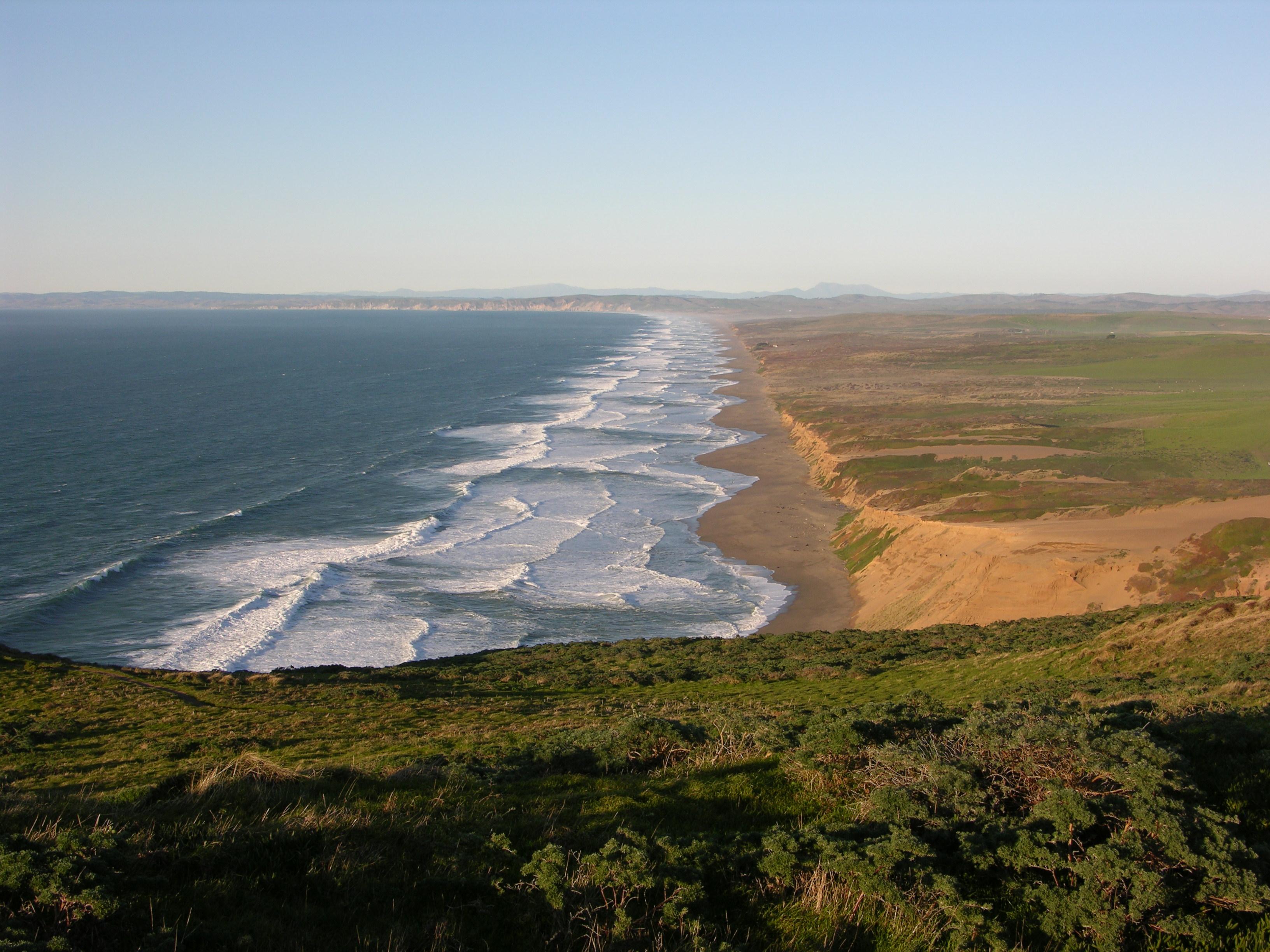
From its thunderous ocean breakers crashing against rocky headlands and expansive sand beaches to its open grasslands, brushy hillsides, and forested ridges, Point Reyes offers visitors over 1500 spec...
18 mi from route
~45 min detour
Free
near mile 253.6
On July 17, 1944, a massive explosion jolted the San Francisco East Bay area, shattering windows and lighting up the night sky. At Port Chicago Naval Magazine, 320 men were killed instantly when two s...
19 mi from route
~48 min detour
Free
near mile 273.1
Park data from the National Park Service API. Alerts update every 2 hours.
More Details
What kind of drive is this?
This drive is mostly surface roads, with only about 17% on highways (a highway share of 6 out of 10). You'll spend the majority of your time on local roads, with the longest continuous stretch on Redwood Highway covering 251.9 miles. Expect to navigate through towns and potentially encounter more traffic signals and varied speed limits as you transition from the more open highway sections to the John T. Knox Freeway and Willits Bypass.
Only 6% highway — the rest is turn-by-turn surface driving.
24 navigation steps total — most of the decisions cluster near the start and finish.
Longest single stretch: 251.9 mi on Redwood Highway.
How Hard Is This Drive?
8/10
Expect a hands-on drive with frequent turns and local roads rather than long highway stretches. This route has several spots where lane changes, forks, or exits need your full attention. The trickiest moment comes around 262.4 miles in near I 580 / John T. Knox Freeway.
Driving Effort8/10
Demanding - plan breaks and stay ahead of the key maneuvers
Balances navigation complexity with total wheel time.
This is a demanding drive. With 17 significant decision points across 282.8 miles, you will need to stay alert - especially through interchange areas and urban stretches. Consider splitting it into segments if you are not comfortable with fast highway navigation.
Where does it get tricky?
The main spots that need attention: at 262.4 miles (I 580 / John T. Knox Freeway): Highway fork - watch signs carefully. Lane positioning matters here. Multiple destination signs - pick the right one; at 279.7 miles (I 580 / Interstate Highway 80): Highway fork - watch signs carefully. Lane positioning matters here. Multiple destination signs - pick the right one; at 280 miles (I 580 / MacArthur Freeway): Highway fork - watch signs carefully. Lane positioning matters here. Multiple destination signs - pick the right one.
Arcata is a city in the North Coast of California. Arcata is a small university town on the north end of Humboldt Bay. It is well known for its hippie counter culture, progressive politics, and vegetarian restaurants. Arcata is the perfect place to relax while enjoying fresh air, the ocean, and the tallest trees on Earth. The pace of things is quite calm here, with usually as many bicyclists or people on foot as cars go by.
Top landmarks
•Hotel Arcata — historic hotel in Arcata, California
Oakland is a port city in the Bay Area of California in the United States. Once an industrial area overshadowed by San Francisco, its larger neighbor to the west, this city of 440,000 people (2020) has begun to step out from under San Francisco's shadow with its notable natural and architectural features and its rise as the multicultural "hipster" city of the Bay Area.
Top landmarks
•San Francisco–Oakland Bay Bridge — suspension bridge connecting San Francisco and Oakland, California, USA
•Lake Merritt — lagoon in Oakland, California, USA
•Oakland Museum of California — art museum in Oakland, California
Doable as a same-day drive at 5h 52m. Total distance: 282.8 miles.
Family Friendly
Moderate complexity with 1 natural rest stops along the way.
Solo Traveler
5h 52m drive, comfortable solo distance.
Scenic Drive
Mostly surface roads route profile with national parks nearby.
Frequently Asked Questions
The longest stretch is about 251.9 miles on Redwood Highway. The full list of main roads is in the Roads section above.
Yes — we found about 7 rest areas or service plazas within a short detour of the route (from OpenStreetMap). See the Rest Stops tab under Nearby Places for locations and mile markers. Plan to stretch, use the bathroom, and top off fluids every 2–3 hours on longer drives.
It helps. This route has a higher-than-average number of complex decision points, which get harder in the dark. If the last hour of the trip is on surface roads or mountain grades, aim to arrive at Oakland, CA before sunset when you can. Check the Trip Plan for departure windows that land you in daylight.
Only with planning. This is a long drive for kids — consider splitting it into two days rather than pushing through. Plan at least 1 meaningful breaks. There are 7 rest areas along the route for bathroom stops.
The main spots that need attention: at 262.4 miles (I 580 / John T. Knox Freeway): Highway fork - watch signs carefully. Lane positioning matters here. Multiple destination signs - pick the right one; at 279.7 miles (I 580 / Interstate Highway 80): Highway fork - watch signs carefully. Lane positioning matters here. Multiple destination signs - pick the right one; at 280 miles (I 580 / MacArthur Freeway): Highway fork - watch signs carefully. Lane positioning matters here. Multiple destination signs - pick the right one.
Yes — Rosie the Riveter WWII Home Front National Historical Park, Muir Woods National Monument and San Francisco Maritime National Historical Park (6 total within detour distance). See the National Parks section for detour distances and tips on detours.
Not recommended in a single day. At 5.9 hours each way, a round trip means 11.7 hours of driving — that is an unsafe level of fatigue for most drivers. Plan at least one night at Oakland, CA before the return drive.