Traveling between Amarillo and Lubbock covers 122.7 miles across the heart of the Texas Great Plains. You can expect to spend about 2 hours and 9 minutes on the road, making this an ideal day trip that doesn't require an overnight stay. Your journey will primarily utilize the Marshall Formby Memorial Highway, the Canyon Expressway, and Spur 326. Budgeting approximately $19 for fuel should comfortably cover your transit between these two cities. Since both locations reside within the same region, you will experience a consistent landscape as you navigate south. This straightforward route is perfect for travelers looking for an efficient connection between two major Texas hubs without the need for complex multi-day planning.
Trip Pace
Same-day drive is realistic
A same-day return is realistic if you keep stops short.
Midpoint
61.3 miles from Amarillo, TX
A natural place for your longest stop of the day
, about 1h 5m into the drive
.
Main Roads
Road
Distance
Duration
Marshall Formby Memorial Highway
104.5 mi
1h 44m
Canyon Expressway
14 mi
16m
Spur 326
2.8 mi
4m
North Pierce Street
1.4 mi
3m
East Amarillo Boulevard
<0.1 mi
<1m
19th Street
<0.1 mi
—
Some road-level metrics are being recalculated.
Longest stretch:
Marshall Formby Memorial Highway
— 104.5 mi, about 1h 44m
Turn-by-Turn Driving Directions
Step-by-step road directions between Amarillo, TX and Lubbock, TX.
1
Start on I 40 Business; Original US Route 66; US 60
286 ft·8 sec·East Amarillo Boulevard
2
Turn right onto US 60; US 87; US 66 Access
0.4 mi·57 sec·North Pierce Street
3
Continue on US 60; US 87; US 66 Access
1.0 mi·2 min·North Pierce Street
4
Continue on US 60; US 87
14 mi·16 min·Canyon Expressway
Use the straight / slight right lanes.
5
Keep slight left at fork onto I 27
104 mi·1 hr 44 min·Marshall Formby Memorial Highway
6
Take the exit onto Spur 326
2.8 mi·4 min·Spur 326
Exit 536AToward Spur 326: Avenue Q
7
Turn left onto US 62; TX 114
33 ft·0 sec·19th Street
8
Arrive at destination
US 62; TX 114
Trip Plan
Since this drive clocks in at just over two hours with no mandatory stops, you have plenty of flexibility in your schedule. Aim to depart mid-morning to avoid any potential peak local traffic around the departure and arrival hubs. Given the $19 fuel estimate, topping off your tank in Amarillo before you head out is a smart way to ensure a stress-free trip. If you feel the need to stretch your legs, take advantage of the fact that you aren't locked into a long-haul itinerary and build in a break whenever you reach the end of the longer highway segments. Keep a close watch on your navigation as you transition between the Canyon Expressway and the local spurs to ensure you stay on the most efficient path.
Morning Departure
Leave by 9 AM and you'll arrive before lunch.
Evening Departure
Even a 4 PM departure gets you there before dark in summer.
You can normally do this drive in one day.
You may only need one short stretch break if traffic stays light.
The halfway point lands around 61.3 miles from Amarillo, TX, or about 1h 5m into the drive.
The longest continuous stretch on this route runs about 104.5 miles.
This is a comfortable same-day trip.
Departure
Before you leave
Start with fuel, water, and navigation already sorted so the first hour feels easy.
First stop
Around 27 miles or 31m in
Use this first pause for coffee, a restroom break, and a quick traffic check ahead.
Halfway reset
Around 61.3 miles or 1h 5m in
This is the best place for your longest stop, a real meal, and a full fuel check.
Final approach
Final hour starts around 1h 45m
Traffic, exits, and arrival timing usually matter more near Lubbock, TX than in the middle of the route.
Before You Leave
+
Open the route before leaving Amarillo, TX so your first major turns are already loaded.
+
Leave with enough water and a charging cable within reach, not packed away.
+
Check your fuel range against the first long segment, especially if you are starting outside city service areas.
Day 1
Settle into the route from Amarillo, TX
This is one driving day of about 122.7 miles and 2h 9m.
Your first comfortable stop window is around 27 miles from Amarillo, TX.
This route can stay practical as a one-day drive if traffic stays reasonable.
The longest stretch is on Marshall Formby Memorial Highway for about 104.5 miles.
Where to Stop
Rest stops, refuel points, and overnight suggestions along this route.
Place data sourced from public business listings. Hours and availability may vary.
Heads-up: tricky spots
4 of 4
4 decision points cluster between mile 0.1 and 122.7 — GPS handles the exact turns, but know they're coming. Your lane choice matters more than the turn itself.
4
0.1 mi into trip|~0m in|US 60; US 87; US 66 Access / North Pierce Street
Turn right onto US 60; US 87; US 66 Access / North Pierce Street
Navigation decision point
4
15.4 mi into trip|~19m in|I 27 / Marshall Formby Memorial Highway
Keep slight left at fork onto I 27 / Marshall Formby Memorial Highway
Highway fork - watch signs carefully
5
119.9 mi into trip|~2h 4m in|Spur 326
Take the exit onto Spur 326 toward Spur 326: Avenue Q
Exit ramp - move to the correct lane early
Exit 536A
Toward Spur 326: Avenue Q
4
122.7 mi into trip|~2h 9m in|US 62; TX 114 / 19th Street
Turn left onto US 62; TX 114 / 19th Street
Navigation decision point
Fuel & Cost
Regular Gas
$18.54 one way
$37.08 round trip
$3.84/gal25.4 MPG avg43 kg CO2
Fuel Type
$/gal
One Way
Round Trip
midgrade
$4.20
$20.29
$40.59
premium
$4.54
$21.91
$43.81
diesel
$5.61
$27.09
$54.18
No toll roads detected on this route.
Estimated Trip Cost (one way, 1 person)
Fuel
$19
Meals
$25–$50
Total
$44–$69
Rough estimate based on US averages. Hotel $80–$140/night, meals $25–$50/day.
Estimated CO2 emission: 42.9 kg one way.
Prices: EIA weekly data, 2026-04-13.
Driving Electric?
About $13 in charging
· 0 stops
· 67% less CO2
Vehicle Type
kWh
Stops
DC Fast
Home Charge
Average EV
36.8
0
$12.88
$5.89
Efficient EV
30.7
0
$10.74
$4.91
EV Truck/SUV
49.1
0
$17.18
$7.85
Gas CO2
43 kg
EV CO2
14 kg (67% less)
This trip is well within single-charge range for most EVs. No charging stops needed if you start fully charged.
DC fast charging avg $0.35/kWh. Home charging avg $0.16/kWh. US grid CO2: 0.39 kg/kWh.
Travel Intel
Current conditions at both ends of the drive.
Forecast as of Apr 15, 2026
Origin
Amarillo, TX
Late night
in Amarillo on Sunday
Local time
2:57 AM
CDT
Current temp
84°F
Unavailable
Live forecast
Destination
Lubbock, TX
Late night
in Lubbock on Sunday
Local time
2:57 AM
CDT
Current temp
80°F
Unavailable
Live forecast
Seasonal Notes
Summer travel usually means heavier construction, hotter rest stops, and busier weekend traffic around major cities.
Winter travel shortens daylight, so a route that looks manageable on paper can feel much longer after dark.
Holiday weekends tend to make both departure and arrival windows slower than the raw route time suggests.
Time zone
Same local time
Origin and destination are on the same clock, so arrival timing is easier to judge at a glance.
Temperature spread
4 degrees cooler at arrival
A meaningful temperature swing is a good cue to rethink layers, water, and how soon you want to arrive.
Road read
2h 9m on the road
Use the two city cards together: check the sky where you start, then compare it with the local time and temperature at arrival.
Weather data from the National Weather Service. Conditions may change; check closer to your travel date.
National Parks Near This Route
Worth a detour if your schedule allows.
Alibates Flint Quarries National Monument
National Monument
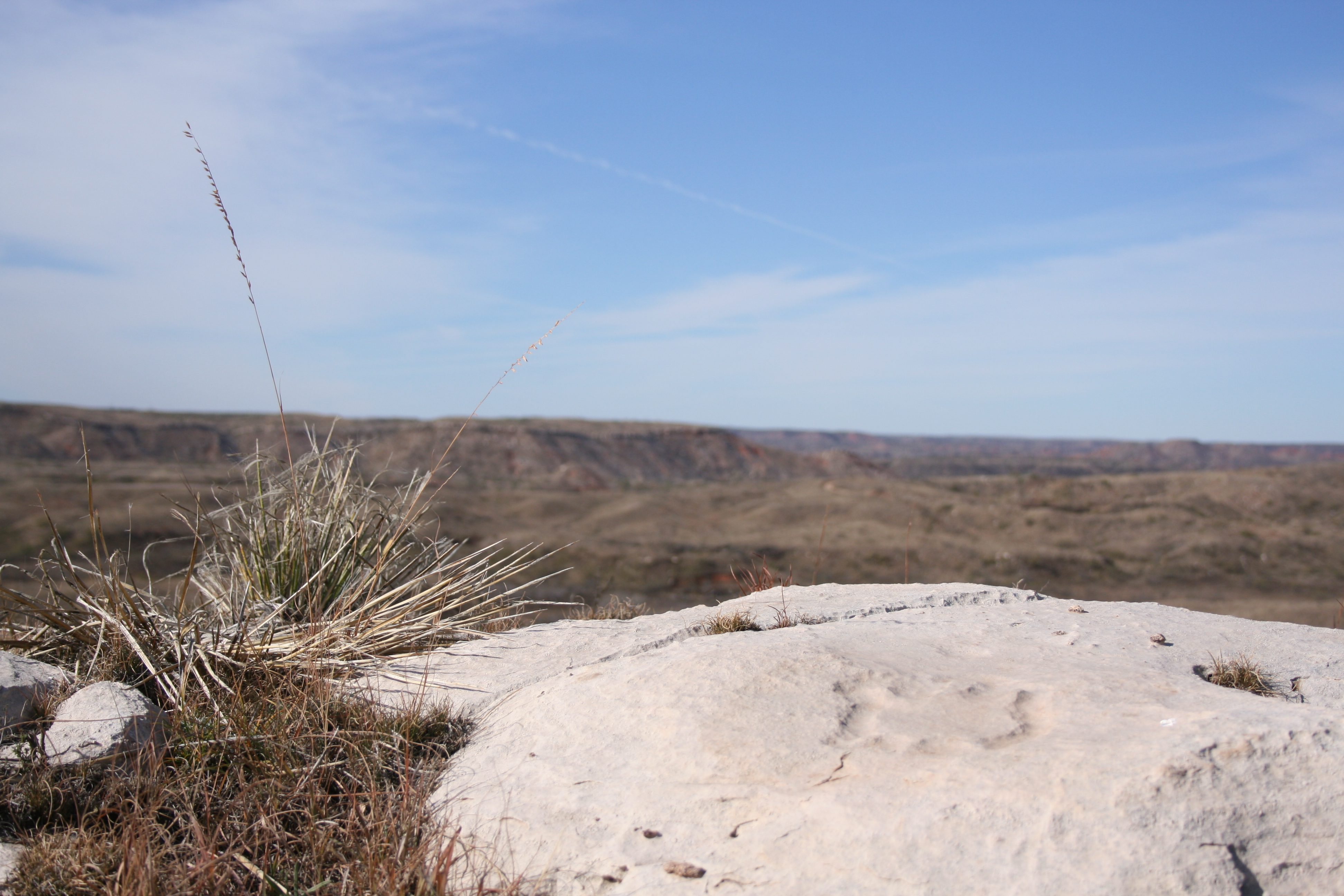
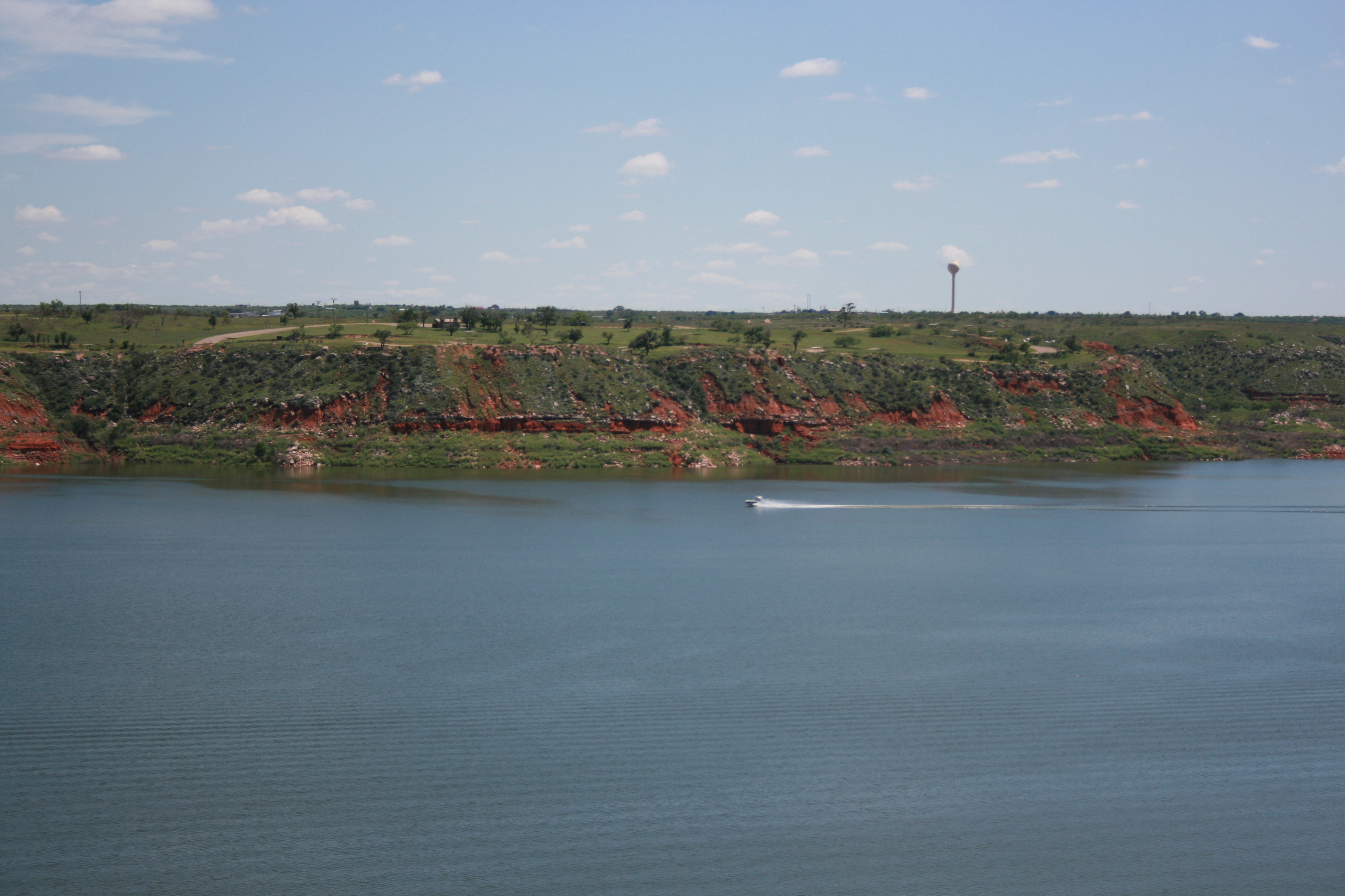
13,000 years ago, Alibates Flint was used by mammoth hunters as a source of flint for tools. Learn how important this site was to the survival, commerce, and culture of the people of the High Plains.
Set within the wide‑open Texas Plains, Lake Meredith National Recreation Area offers a peaceful retreat in the heart of rugged grasslands. Over thousands of years, the Canadian River carved dramatic 2...
Park data from the National Park Service API. Alerts update every 2 hours.
More Details
What kind of drive is this?
Expect a turn-heavy local drive that demands your attention more than a standard interstate cruise would. While only 11% of your journey consists of highway driving, you will spend a significant portion of your time on the Marshall Formby Memorial Highway. In fact, you will find yourself on that specific stretch for 104.5 miles, which serves as the longest uninterrupted portion of the trip. The road's personality shifts from the initial expressway segments into a more technical local experience as you navigate toward your destination. Because this is not a monotonous highway grind, you should prepare for a driving experience that feels more grounded and connected to the local topography.
Only 11% highway — the rest is turn-by-turn surface driving.
8 navigation steps total — most of the decisions cluster near the start and finish.
Longest single stretch: 104.5 mi on Marshall Formby Memorial Highway.
How Hard Is This Drive?
2/10
Expect a hands-on drive with frequent turns and local roads rather than long highway stretches. Navigation is very simple - set it and forget it for most of the drive. The trickiest moment comes around 0.1 miles in near US 60; US 87; US 66 Access / North Pierce Street.
Driving Effort2/10
Very easy - short and simple to drive
Balances navigation complexity with total wheel time.
The drive from Amarillo, TX to Lubbock, TX is easy. At 2h 9m with 11% highway, most drivers will find it relaxed and low-stress.
Where does it get tricky?
The main spots that need attention: at 0.1 miles (US 60; US 87; US 66 Access / North Pierce Street): Navigation decision point; at 15.4 miles (I 27 / Marshall Formby Memorial Highway): Highway fork - watch signs carefully; at 119.9 miles (Spur 326): Exit ramp - move to the correct lane early.
Lubbock is the largest city in the Panhandle of Texas and serves as the area's agricultural and economic hub. Lubbock, commonly known as the Hub City, is in the center of the South Plains, an expansive cotton-growing region.
Mostly surface roads route profile with national parks nearby.
Frequently Asked Questions
The longest stretch is about 104.5 miles on Marshall Formby Memorial Highway. The full list of main roads is in the Roads section above.
Yes, with realistic expectations. Build in a stop roughly every 2 hours, have snacks and activities ready, and check the Nearby Places tabs for kid-friendly stops along the way.
The main spots that need attention: at 0.1 miles (US 60; US 87; US 66 Access / North Pierce Street): Navigation decision point; at 15.4 miles (I 27 / Marshall Formby Memorial Highway): Highway fork - watch signs carefully; at 119.9 miles (Spur 326): Exit ramp - move to the correct lane early.
Yes — Alibates Flint Quarries National Monument and Lake Meredith National Recreation Area. See the National Parks section for detour distances and tips on detours.
Yes. A round trip is manageable in a single day if you plan a break at Lubbock, TX before heading back.