Origin
Alexandria, NH
Night in Alexandria on Saturday
Local time
10:51 PM
EDT
Current temp
50°F
Unavailable
Live forecast
Compiled and reviewed by the US Trip Planner planning team at COD Solutions Oy · Last reviewed Apr 19, 2026 · Editorial standards
Drive Time
2h 9m
Distance
70.9 mi
114 km
Drive Score
9/10
Great drive
Same Day?
Yes, doable
Fuel Cost
$11
one way
EV Charging
Unknown
Estimated drive times based on typical traffic patterns. Actual times may vary with weather, construction, and real-time conditions.

Alexandria, NH
Wikimedia Commons

Keene, NH
Wikimedia Commons
Traveling from Alexandria to Keene covers a distance of 70.9 miles through the heart of New Hampshire. You can expect the journey to take approximately 2 hours and 9 minutes, making it a perfectly manageable single-day trip that does not require an overnight stay. With a fuel budget of about $11, this is an economical way to navigate between these two points in the Northeast. The route utilizes a combination of NH 4A, NH Route 10, and local segments to connect the regions. It is an ideal choice if you are looking for a straightforward, practical drive that gets you to your destination efficiently without needing a complex itinerary.
Trip Pace
Same-day drive is realistic
A same-day return is realistic if you keep stops short.
Midpoint
35.5 miles from Alexandria, NH
A natural place for your longest stop of the day , about 1h 4m into the drive .
| Road | Distance | Duration |
|---|---|---|
| NH 4A | 10.1 mi | 16m |
| NH Route 10 | 9.4 mi | 15m |
| Route 10 | 7.6 mi | 13m |
| U.S. Route 4 | 7 mi | 12m |
| State Route 10 | 5.5 mi | 8m |
| Brook Road | 5.4 mi | 13m |
| Ragged Mountain Highway | 5.4 mi | 10m |
| State Route 103A | 4 mi | 7m |
Step-by-step road directions between Alexandria, NH and Keene, NH.
Start on Town Pound Road
Continue on Washburn Road
Turn left onto Cass Mill Road
Turn right onto NH 104
Turn sharp left onto US 4
At end of road, turn right onto NH 4A; NH 11
Turn left onto NH 103A
Continue on NH 103A
Continue on NH 103A
At end of road, turn right onto NH 103
Continue on NH 103
Enter roundabout onto NH 103
Continue on NH 103
Turn left onto Brook Road
Turn left onto NH 10
Continue on NH 10
Continue on NH 10
Continue on NH 10; NH 123
Continue on NH 10
Continue on NH 10
Turn straight onto NH 10
Continue on NH 10
Turn right onto NH 9
Turn left onto Washington Street
Turn right onto Central Square
Continue on Central Square
Turn left onto Roxbury Street
Arrive at destination
Since this is a relatively short trip, you have the flexibility to depart whenever fits your schedule best. Because the duration is just over two hours, you can easily complete the drive in one go without needing to plan for major stops. Keep your $11 fuel budget in mind when filling up, as you will want to ensure you have enough gas to cover the entire 70.9-mile distance comfortably. If you prefer a relaxed pace, consider mapping out a quick break around the time you transition from NH 4A to NH Route 10 to stretch your legs. Staying mindful of the transition between road types will help you maintain a smooth and stress-free experience throughout your journey.
Morning Departure
Leave by 9 AM and you'll arrive before lunch.
Evening Departure
Even a 4 PM departure gets you there before dark in summer.
This is a comfortable same-day trip.
Departure
Before you leave
Start with fuel, water, and navigation already sorted so the first hour feels easy.
First stop
Around 16 miles or 31m in
Use this first pause for coffee, a restroom break, and a quick traffic check ahead.
Halfway reset
Around 35.5 miles or 1h 4m in
This is the best place for your longest stop, a real meal, and a full fuel check.
Final approach
Final hour starts around 1h 50m
Traffic, exits, and arrival timing usually matter more near Keene, NH than in the middle of the route.
Open the route before leaving Alexandria, NH so your first major turns are already loaded.
Leave with enough water and a charging cable within reach, not packed away.
Check your fuel range against the first long segment, especially if you are starting outside city service areas.
Day 1
Settle into the route from Alexandria, NH
This is one driving day of about 70.9 miles and 2h 9m.
Rest stops, refuel points, and overnight suggestions along this route.

Mid-route town
Meal stop
35 mi into the route
Best for: Lunch, fuel, and a longer reset
This sits close to the middle of the route, so it works well for the longest stop of the day.
A short stop after about 16 miles helps settle the day before fatigue starts building.
The midpoint is around 35.5 miles from Alexandria, NH, which is a good place for a longer meal and fuel stop.
These stop ideas are pacing suggestions — the exact town or exit can change with traffic, hotel plans, and fuel range.
5 decision points cluster between mile 9.8 and 69.2 — GPS handles the exact turns, but know they're coming. Your lane choice matters more than the turn itself.
Turn sharp left onto US 4 / U.S. Route 4
Sharp turn - reduce speed on approach
At end of road, turn right onto NH 4A; NH 11
Lane positioning matters here
At end of road, turn right onto NH 103 / Route 103
Navigation decision point
Enter roundabout onto NH 103 / State Route 103
Roundabout - know your exit number before entering
Turn left onto Washington Street
Lane positioning matters here
Regular Gas
$11.41 one way
$22.83 round trip
| Fuel Type | $/gal | One Way | Round Trip |
|---|---|---|---|
| midgrade | $4.50 | $12.56 | $25.12 |
| premium | $4.86 | $13.58 | $27.15 |
| diesel | $5.61 | $15.65 | $31.31 |
No toll roads detected on this route.
Estimated Trip Cost (one way, 1 person)
Fuel
$11
Meals
$25–$50
Total
$36–$61
Rough estimate based on US averages. Hotel $80–$140/night, meals $25–$50/day.
Estimated CO2 emission: 24.8 kg one way. Prices: EIA weekly data, 2026-04-13.
Driving Electric?
About $7 in charging · 0 stops · 68% less CO2
| Vehicle Type | kWh | Stops | DC Fast | Home Charge |
|---|---|---|---|---|
| Average EV | 21.3 | 0 | $7.44 | $3.40 |
| Efficient EV | 17.7 | 0 | $6.20 | $2.84 |
| EV Truck/SUV | 28.4 | 0 | $9.93 | $4.54 |
Gas CO2
25 kg
EV CO2
8 kg (68% less)
This trip is well within single-charge range for most EVs. No charging stops needed if you start fully charged.
DC fast charging avg $0.35/kWh. Home charging avg $0.16/kWh. US grid CO2: 0.39 kg/kWh.
Current conditions at both ends of the drive.
Origin
Night in Alexandria on Saturday
Local time
10:51 PM
EDT
Current temp
50°F
Unavailable
Destination
Night in Keene on Saturday
Local time
10:51 PM
EDT
Current temp
52°F
Unavailable
Seasonal Notes
Summer travel usually means heavier construction, hotter rest stops, and busier weekend traffic around major cities.
Winter travel shortens daylight, so a route that looks manageable on paper can feel much longer after dark.
Holiday weekends tend to make both departure and arrival windows slower than the raw route time suggests.
Time zone
Origin and destination are on the same clock, so arrival timing is easier to judge at a glance.
Temperature spread
A meaningful temperature swing is a good cue to rethink layers, water, and how soon you want to arrive.
Road read
Use the two city cards together: check the sky where you start, then compare it with the local time and temperature at arrival.
Weather data from the National Weather Service. Conditions may change; check closer to your travel date.
Worth a detour if your schedule allows.
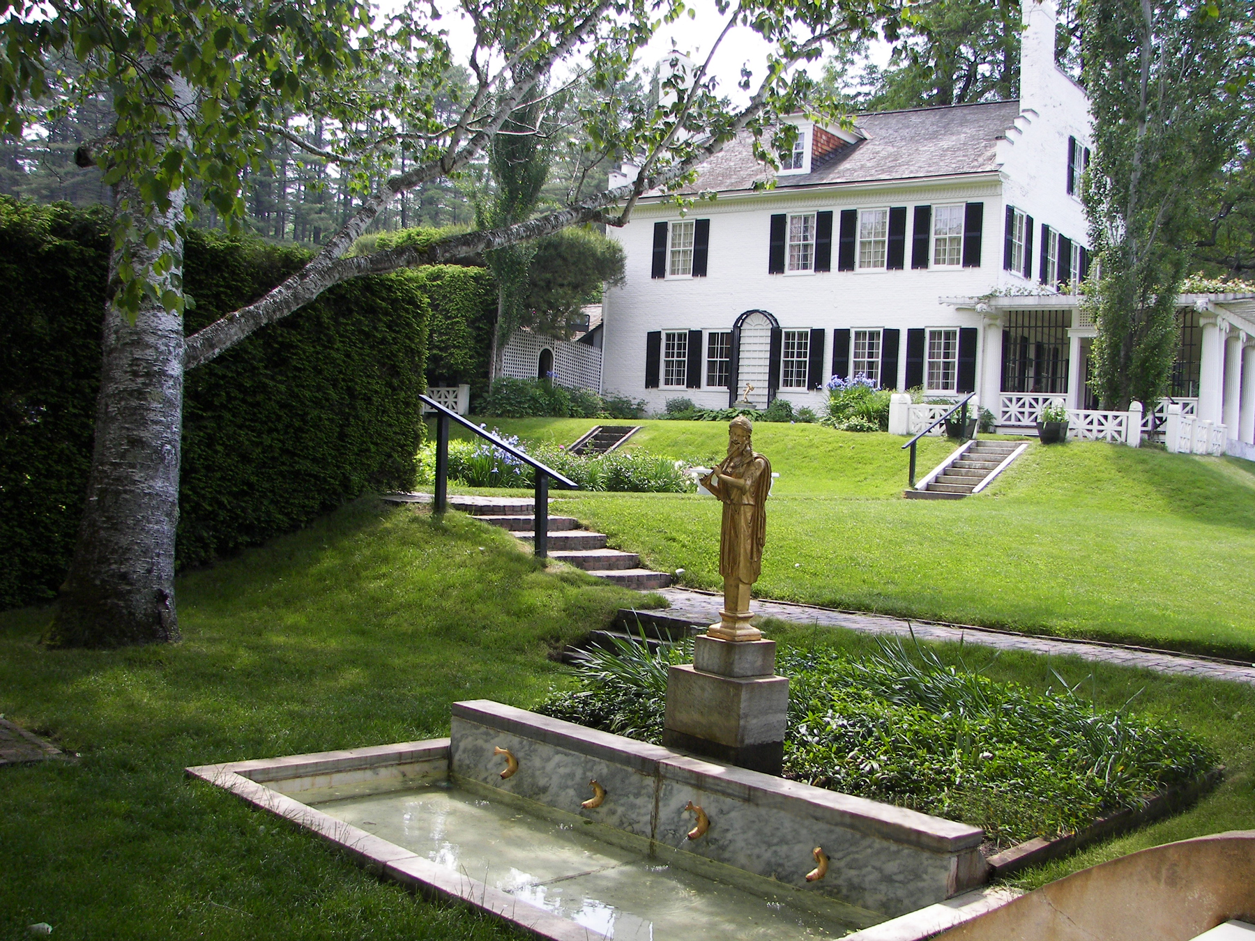
National Historical Park
Your National Park for the Arts preserves the home and studio of sculptor Augustus Saint-Gaudens (1848-1907). Here stories flow through a landscape of inspiration. Discover the history behind the capt...
Park data from the National Park Service API. Alerts update every 2 hours.
This 70.9-mile trip features a mixed drive profile that keeps you engaged behind the wheel. While about 54% of the route consists of highway travel, you will also navigate smaller local roads that offer a change of pace from standard interstate driving. You will encounter a longest uninterrupted stretch of 10.1 miles on NH 4A, providing a brief period of steady driving before the road transitions. As you move along NH Route 10, the character of the drive shifts, requiring you to stay attentive to the varying road types. It balances the utility of faster highway sections with the more technical nature of local New Hampshire roadways.
This route mixes highway mileage with some local-road sections near the start or finish. There are only a few real navigation decisions along the way. The trickiest moment comes around 9.8 miles in near US 4 / U.S. Route 4.
Easy - simple navigation with a manageable amount of wheel time
Balances navigation complexity with total wheel time.
This is a straightforward 2h 9m drive. You will face about 13 decision points, but nothing that requires special attention if you follow navigation.
Where does it get tricky?
The main spots that need attention: at 9.8 miles (US 4 / U.S. Route 4): Sharp turn - reduce speed on approach; at 16.8 miles (NH 4A; NH 11): Lane positioning matters here; at 32 miles (NH 103 / Route 103): Navigation decision point.
Gently rolling terrain
Total Climb
1,006 ft
Total Descent
1,143 ft
Highest Point
1,296 ft
~25.3 mi in
Elevation Range
814 ft
Weekend Trip
Doable as a same-day drive at 2h 9m. Total distance: 70.9 miles.
Family Friendly
Moderate complexity with 0 natural rest stops along the way.
Solo Traveler
2h 9m drive, comfortable solo distance.
First-Time Driver
Mostly highway driving (54%). Straightforward navigation.
Scenic Drive
Mixed highway & surface route profile with national parks nearby.
Compiled by the US Trip Planner planning team at COD Solutions Oy from open government datasets — OSRM over OpenStreetMap for geometry, EIA for fuel prices, USGS 3DEP for elevation, and NPS for national parks. See our methodology for refresh cadence and limitations.
Was this helpful?
Thanks for your feedback!
Your tip has been submitted. Thanks!
/500
Recent Tips
·
Explore more options from Alexandria, NH or browse trips ending in Keene, NH.
Looking for more statewide routes? Browse NH road trips.