Ahwahnee, CA to Oakland, CA is 176.8 miles and takes about 3h 43m via CA 99, with a fuel budget near $41 and enough daylight to finish in a day. This trip stays within California, traveling from the Pacific Coast region to the Pacific Coast region. It’s a straightforward, highway-focused drive that's perfect for a single-day journey. You’ll find the route offers a practical way to get from the Sierra Nevada foothills towards the Bay Area, with most of your travel on well-maintained highways. Consider this route if you need an efficient and predictable drive.
Trip Pace
Same-day drive is realistic
A same-day return is realistic if you keep stops short.
Break Rhythm
1 planned break
A short stop every 2 to 3 hours is enough for this drive.
Midpoint
88.4 miles from Ahwahnee, CA
A natural place for your longest stop of the day
, about 1h 58m into the drive
.
Main Roads
Road
Distance
Duration
CA 99
53.7 mi
1h 2m
Central Yosemite Highway
35.6 mi
49m
Arthur H. Breed Junior Freeway
29.7 mi
34m
Robert T. Monagan Freeway
13.9 mi
15m
Boot Jack - Ahwahnee Road
11.3 mi
16m
Nimitz Freeway
9.8 mi
11m
CA 120
6.8 mi
7m
CA 49
5.3 mi
7m
Longest stretch:
CA 99
— 53.7 mi, about 1h 2m
Turn-by-Turn Driving Directions
Step-by-step road directions between Ahwahnee, CA and Oakland, CA.
1
Start on CA 49
4.4 mi·6 min·Boot Jack Road
2
Continue on CA 49
11 mi·16 min·Boot Jack - Ahwahnee Road
3
Turn straight onto CA 49
5.3 mi·7 min·CA 49
4
Turn left
75 ft·11 sec
5
Turn left onto CA 140
36 mi·49 min·Central Yosemite Highway
Use the straight / right lanes.
6
Take the ramp
0.3 mi·35 sec
7
Merge onto CA 99; CA 140
0.8 mi·52 sec·CA 99; CA 140
8
Continue on CA 99; CA 59; CA 140
53 mi·1 hr 2 min·CA 99; CA 59; CA 140
Use the straight / slight right lanes.
9
Take the exit
0.9 mi·1 min
Toward CA 120 West: Manteca, San Francisco
10
Merge onto CA 120
6.8 mi·7 min·CA 120
Use the straight / slight right lanes.
11
Merge onto I 5
1.2 mi·1 min·Westside Freeway
12
Keep slight right at fork onto I 205
14 mi·15 min·Robert T. Monagan Freeway
13
Continue on I 580
18 mi·20 min·Arthur H. Breed Junior Freeway
Use the straight / slight right lanes.
14
Keep slight right at fork onto I 580
12 mi·13 min·Arthur H. Breed Junior Freeway
Use the straight / slight right lanes.
15
Keep slight left at fork onto I 238
2.4 mi·2 min·Castro Valley Freeway
Exit 34Toward I 238Use the slight left / slight right lanes.
16
Keep slight left at fork
0.4 mi·52 sec
Toward I 880 NorthUse the straight / slight right lanes.
17
Merge onto I 880
9.8 mi·11 min·Nimitz Freeway
Use the straight / slight right lanes.
18
Take the exit
0.2 mi·32 sec
Exit 41AToward Oak Street, Lakeside DriveUse the straight / slight right lanes.
19
Turn right onto Oak Street
0.3 mi·49 sec·Oak Street
Use the straight / right lanes.
20
Turn left onto 12th Street
0.3 mi·45 sec·12th Street
Use the straight lane.
21
Turn right onto Harrison Street
0.1 mi·24 sec·Harrison Street
Use the right lane.
22
Turn left onto 14th Street
0.2 mi·48 sec·14th Street
23
Arrive at destination
14th Street
Trip Plan
Given the 3h 43m estimated drive time, leaving Ahwahnee in the morning will comfortably get you to Oakland before evening. With only one recommended stop and a fuel cost around $41, this route is economical and doesn't require extensive planning. The longest stretch without a planned stop is 53.7 miles on CA 99, so you can easily manage your fuel and rest breaks. Keep an eye on traffic as you approach the Bay Area, as congestion can increase, especially during peak hours. This is a flexible drive, so you can depart whenever suits your schedule.
Morning Departure
An early start around 7-8 AM gets you there with plenty of daylight left.
Evening Departure
A late afternoon start means arriving after dark. Morning is better.
You can normally do this drive in one day.
Plan roughly 1 meaningful break for fuel, food, and rest.
The halfway point lands around 88.4 miles from Ahwahnee, CA, or about 1h 58m into the drive.
The longest continuous stretch on this route runs about 53.7 miles.
This is a comfortable same-day trip.
Departure
Before you leave
Start with fuel, water, and navigation already sorted so the first hour feels easy.
First stop
Around 39 miles or 56m in
Use this first pause for coffee, a restroom break, and a quick traffic check ahead.
Halfway reset
Around 88.4 miles or 1h 58m in
This is the best place for your longest stop, a real meal, and a full fuel check.
Final approach
Final hour starts around 3h 4m
Traffic, exits, and arrival timing usually matter more near Oakland, CA than in the middle of the route.
Before You Leave
+
Open the route before leaving Ahwahnee, CA so your first major turns are already loaded.
+
Leave with enough water and a charging cable within reach, not packed away.
+
Check your fuel range against the first long segment, especially if you are starting outside city service areas.
Day 1
Settle into the route from Ahwahnee, CA
This is one driving day of about 176.8 miles and 3h 43m.
Your first comfortable stop window is around 39 miles from Ahwahnee, CA.
This route can stay practical as a one-day drive if traffic stays reasonable.
Plan about 1 real break rather than only quick fuel stops.
The longest stretch is on CA 99 for about 53.7 miles.
Where to Stop
Rest stops, refuel points, and overnight suggestions along this route.
Place data sourced from public business listings. Hours and availability may vary.
Heads-up: tricky spots
5 of 16
5 decision points cluster between mile 21 and 176.5 — GPS handles the exact turns, but know they're coming. Your lane choice matters more than the turn itself.
6
21 mi into trip|~31m in|CA 140 / Central Yosemite Highway
Turn left onto CA 140 / Central Yosemite Highway
Lane positioning matters here
Use the straight / right lanes.
8
163 mi into trip|~3h 25m in|I 238 / Castro Valley Freeway
Keep slight left at fork onto I 238 / Castro Valley Freeway toward I 238
Highway fork - watch signs carefully. Lane positioning matters here
Use the slight left / slight right lanes.
Exit 34
Toward I 238
7
165.4 mi into trip|~3h 28m in
Keep slight left at fork toward I 880 North
Highway fork - watch signs carefully. Lane positioning matters here
Use the straight / slight right lanes.
Toward I 880 North
8
175.6 mi into trip|~3h 40m in
Take the exit toward Oak Street, Lakeside Drive
Exit ramp - move to the correct lane early. Lane positioning matters here. Multiple destination signs - pick the right one
Use the straight / slight right lanes.
Exit 41A
Toward Oak Street, Lakeside Drive
7
176.5 mi into trip|~3h 42m in|Harrison Street
Turn right onto Harrison Street
Lane positioning matters here
Use the right lane.
Fuel & Cost
Regular Gas
$40.64 one way
$81.27 round trip
$5.84/gal25.4 MPG avg62 kg CO2
Fuel Type
$/gal
One Way
Round Trip
midgrade
$6.02
$41.88
$83.75
premium
$6.18
$43.00
$85.99
diesel
$5.61
$39.04
$78.07
No toll roads detected on this route.
Estimated Trip Cost (one way, 1 person)
Fuel
$41
Meals
$25–$50
Total
$66–$91
Rough estimate based on US averages. Hotel $80–$140/night, meals $25–$50/day.
Estimated CO2 emission: 61.9 kg one way.
Prices: EIA weekly data, 2026-04-13.
Driving Electric?
About $19 in charging
· 0 stops
· 66% less CO2
Vehicle Type
kWh
Stops
DC Fast
Home Charge
Average EV
53
0
$18.56
$8.49
Efficient EV
44.2
0
$15.47
$7.07
EV Truck/SUV
70.7
0
$24.75
$11.32
Gas CO2
62 kg
EV CO2
21 kg (66% less)
This trip is well within single-charge range for most EVs. No charging stops needed if you start fully charged.
DC fast charging avg $0.35/kWh. Home charging avg $0.16/kWh. US grid CO2: 0.39 kg/kWh.
Travel Intel
Current conditions at both ends of the drive.
Forecast as of Apr 18, 2026
Origin
Ahwahnee, CA
Late night
in Ahwahnee on Tuesday
Local time
3:41 AM
PDT
Current temp
43°F
Unavailable
Live forecast
Destination
Oakland, CA
Late night
in Oakland on Tuesday
Local time
3:41 AM
PDT
Current temp
47°F
Unavailable
Live forecast
Seasonal Notes
Summer travel usually means heavier construction, hotter rest stops, and busier weekend traffic around major cities.
Winter travel shortens daylight, so a route that looks manageable on paper can feel much longer after dark.
Holiday weekends tend to make both departure and arrival windows slower than the raw route time suggests.
Time zone
Same local time
Origin and destination are on the same clock, so arrival timing is easier to judge at a glance.
Temperature spread
4 degrees warmer at arrival
A meaningful temperature swing is a good cue to rethink layers, water, and how soon you want to arrive.
Road read
3h 43m on the road
Use the two city cards together: check the sky where you start, then compare it with the local time and temperature at arrival.
Weather data from the National Weather Service. Conditions may change; check closer to your travel date.
National Parks Near This Route
Worth a detour if your schedule allows.
San Francisco Maritime National Historical Park
National Historical Park
Established in 1988, San Francisco Maritime National Historical Park celebrates America’s maritime heritage on the Pacific Coast. Our 50-acre park has grown around Aquatic Park Cove, a protected area...
8 mi from route
~21 min detour
Free
near mile 176.8
Rosie the Riveter WWII Home Front National Historical Park
National Historical Park
Celebrate and honor the contributions and sacrifices of American civilians on the WWII home front. Discover how diverse communities lived, worked, and interacted. Many faces, many stories, many truths...
9 mi from route
~22 min detour
Free
near mile 176.8
Experience a park so rich it supports 19 distinct ecosystems with over 2,000 plant and animal species. Go for a hike, enjoy a vista, have a picnic or learn about the centuries of overlapping history f...
18 mi from route
~46 min detour
Free
near mile 176.8
Walk among old growth coast redwoods, cooling their roots in the fresh water of Redwood Creek and lifting their crowns to reach the sun and fog. Federally protected as a National Monument since 1908,...
18 mi from route
~45 min detour
$15
near mile 176.8
On July 17, 1944, a massive explosion jolted the San Francisco East Bay area, shattering windows and lighting up the night sky. At Port Chicago Naval Magazine, 320 men were killed instantly when two s...
22 mi from route
~55 min detour
Free
near mile 176.8
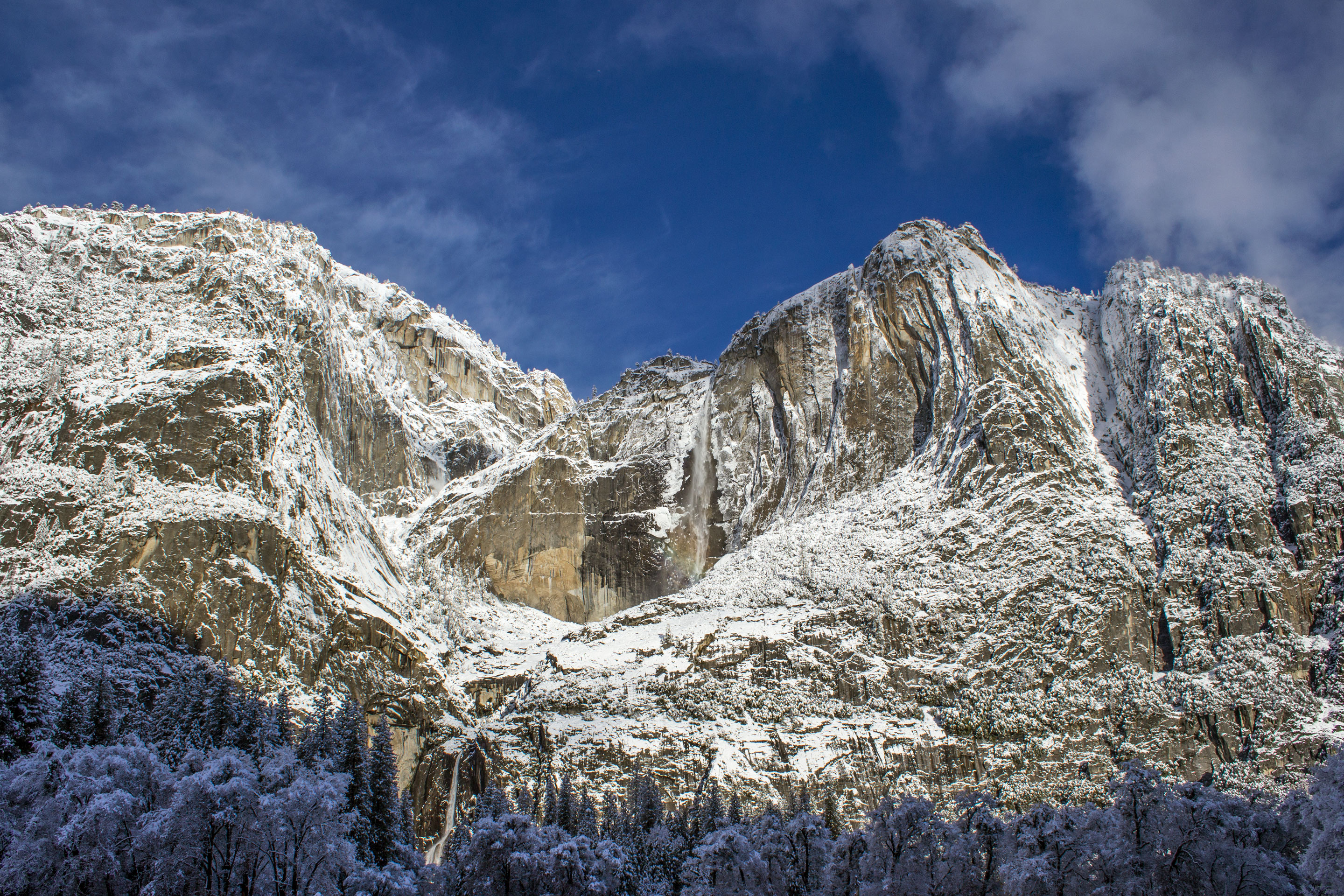
Not just a great valley, but a shrine to human foresight, the strength of granite, the power of glaciers, the persistence of life, and the tranquility of the High Sierra. First protected in 1864, Yose...
Park data from the National Park Service API. Alerts update every 2 hours.
More Details
What kind of drive is this?
This is primarily a highway-focused drive, with 69% of the route utilizing major freeways. You'll experience a significant stretch of CA 99 for 53.7 miles, offering a consistent pace. The Central Yosemite Highway and Arthur H. Breed Junior Freeway also contribute to the highway character. Expect a generally smooth and direct journey with minimal interruptions, allowing for steady progress towards your destination. The road largely maintains a high-speed profile for the majority of the trip.
69% highway — fuel and pacing are the main things to plan.
23 navigation steps total — most of the decisions cluster near the start and finish.
Longest single stretch: 53.7 mi on CA 99.
How Hard Is This Drive?
9/10
This is a straightforward highway drive that stays mostly on CA 99 and Central Yosemite Highway. This route has several spots where lane changes, forks, or exits need your full attention. The trickiest moment comes around 21 miles in near CA 140 / Central Yosemite Highway.
Driving Effort9/10
High effort - long or complex enough to need steady focus all day
Balances navigation complexity with total wheel time.
This is a demanding drive. With 16 significant decision points across 176.8 miles, you will need to stay alert - especially through interchange areas and urban stretches. Consider splitting it into segments if you are not comfortable with fast highway navigation.
Where does it get tricky?
The main spots that need attention: at 21 miles (CA 140 / Central Yosemite Highway): Lane positioning matters here; at 163 miles (I 238 / Castro Valley Freeway): Highway fork - watch signs carefully. Lane positioning matters here; at 165.4 miles: Highway fork - watch signs carefully. Lane positioning matters here.
Towns Mentioned on Route Signs
Based on OSRM destination-sign hints, not a full list of every settlement the road passes.
On the drive from Ahwahnee, CA to Oakland, CA, road signs begin pointing toward San Francisco along the way.
Oakland is a port city in the Bay Area of California in the United States. Once an industrial area overshadowed by San Francisco, its larger neighbor to the west, this city of 440,000 people (2020) has begun to step out from under San Francisco's shadow with its notable natural and architectural features and its rise as the multicultural "hipster" city of the Bay Area.
Top landmarks
•San Francisco–Oakland Bay Bridge — suspension bridge connecting San Francisco and Oakland, California, USA
•Lake Merritt — lagoon in Oakland, California, USA
•Oakland Museum of California — art museum in Oakland, California
Doable as a same-day drive at 3h 43m. Total distance: 176.8 miles.
Family Friendly
Moderate complexity with 1 natural rest stops along the way.
Solo Traveler
3h 43m drive, comfortable solo distance.
Frequently Asked Questions
The longest stretch is about 53.7 miles on CA 99. The full list of main roads is in the Roads section above.
We did not find dedicated rest areas on this route. For a drive this long, plan bathroom and stretch breaks around gas stations, fast-food stops, or small-town downtowns — check the Nearby Places section for options.
It helps. This route has a higher-than-average number of complex decision points, which get harder in the dark. If the last hour of the trip is on surface roads or mountain grades, aim to arrive at Oakland, CA before sunset when you can. Check the Trip Plan for departure windows that land you in daylight.
Only with planning. This is a long drive for kids — consider splitting it into two days rather than pushing through. Plan at least 1 meaningful breaks. Dedicated rest areas are limited, so plan gas or food stops as your bathroom breaks.
The main spots that need attention: at 21 miles (CA 140 / Central Yosemite Highway): Lane positioning matters here; at 163 miles (I 238 / Castro Valley Freeway): Highway fork - watch signs carefully. Lane positioning matters here; at 165.4 miles: Highway fork - watch signs carefully. Lane positioning matters here.
Yes — San Francisco Maritime National Historical Park, Rosie the Riveter WWII Home Front National Historical Park and Golden Gate National Recreation Area (6 total within detour distance). See the National Parks section for detour distances and tips on detours.
Possible but tiring. At 3.7 hours each way, an in-and-out day trip would put you behind the wheel for 7.5 hours — manageable with a long break at Oakland, CA, but most travelers stay overnight.