If you are planning to travel from Adams to Menomonee Falls, expect a journey covering 141.3 miles that typically takes about 2 hours and 54 minutes. This drive serves as a straightforward day trip, as the duration is manageable without needing an overnight stay. You will primarily navigate via West Grove Street, South Main Street, and Highway 13 to reach your destination within the Midwest. Budgeting approximately $19 for fuel should keep you covered for the entire trip. Since the drive is relatively short, it offers plenty of flexibility for your schedule, making it an easy transition between these two Wisconsin locations.
Trip Pace
Same-day drive is realistic
A same-day return is realistic if you keep stops short.
Break Rhythm
1 planned break
A short stop every 2 to 3 hours is enough for this drive.
Midpoint
70.6 miles from Adams, WI
A natural place for your longest stop of the day
, about 1h 28m into the drive
.
Main Roads
Road
Distance
Duration
I 94
55.6 mi
59m
I 39
34.1 mi
36m
State Highway 13
23.5 mi
32m
State Highway 16
14.4 mi
19m
West Main Street
4.6 mi
9m
Redford Boulevard
4.5 mi
7m
Waukesha Avenue
1.5 mi
2m
Main Street
1.2 mi
2m
Longest stretch:
I 94
— 55.6 mi, about 59m
Turn-by-Turn Driving Directions
Step-by-step road directions between Adams, WI and Menomonee Falls, WI.
1
Start on this road
62 ft·9 sec·this road
2
Turn left onto West Grove Street
163 ft·11 sec·West Grove Street
3
Turn right onto WI 13
0.7 mi·1 min·South Main Street
4
Continue on WI 13
23 mi·32 min·State Highway 13
Use the straight lane.
5
Continue on WI 16
14 mi·19 min·State Highway 16
Use the straight / right lanes.
6
Enter roundabout
17 ft·1 sec
7
Continue
0.3 mi·40 sec
8
Merge onto I 39
4.5 mi·4 min·I 39
9
Keep slight right at fork onto I 39
30 mi·31 min·I 39
Use the straight / slight right lanes.
10
Keep slight left at fork onto I 94
56 mi·59 min·I 94
Exit 138AToward I 94: MilwaukeeUse the straight / slight right lanes.
11
Take the exit
0.3 mi·31 sec
Exit 295Toward CTH F: Waukesha, SussexUse the straight / slight right lanes.
12
Keep slight left at fork
188 ft·6 sec
Toward CTH F North: Waukesha, Sussex
13
Turn left onto CTH F
4.5 mi·7 min·Redford Boulevard
Use the left / straight lanes.
14
Continue on CTH F
1.5 mi·2 min·Waukesha Avenue
15
Turn straight
374 ft·12 sec
16
Turn straight onto CTH F
1.2 mi·2 min·Main Street
17
At end of road, turn left onto CTH F; CTH V
0.4 mi·54 sec·Town Line Road
18
Enter roundabout onto CTH F
74 ft·4 sec·West Main Street
19
Continue on CTH F
4.6 mi·9 min·West Main Street
20
Turn left onto WI 175
21 ft·0 sec·Appleton Avenue
21
Arrive at destination
WI 175
Trip Plan
Given the turn-heavy nature of this 2-hour and 54-minute drive, it is best to plan your departure during daylight hours to maintain better visibility on local roads. You only need to build in one stop to keep your trip efficient, though the lack of high-speed highway segments makes it easy to pull over whenever you need a break. Keep a close eye on your fuel gauge, as the $19 estimate is based on typical consumption for this distance, but local driving can sometimes burn fuel faster than steady highway cruising. Since you are staying entirely on local routes, use the flexibility of the trip to pace yourself and avoid rushing through the turns. A concrete tip for this route: since you are avoiding major highways, double-check your navigation settings before leaving Adams to ensure you are comfortable with the specific local roads selected for your journey.
Morning Departure
Leave by 9 AM and you'll arrive before lunch.
Evening Departure
Even a 4 PM departure gets you there before dark in summer.
You can normally do this drive in one day.
Plan roughly 1 meaningful break for fuel, food, and rest.
The halfway point lands around 70.6 miles from Adams, WI, or about 1h 28m into the drive.
The longest continuous stretch on this route runs about 55.6 miles.
This is a comfortable same-day trip.
Departure
Before you leave
Start with fuel, water, and navigation already sorted so the first hour feels easy.
First stop
Around 31 miles or 43m in
Use this first pause for coffee, a restroom break, and a quick traffic check ahead.
Halfway reset
Around 70.6 miles or 1h 28m in
This is the best place for your longest stop, a real meal, and a full fuel check.
Final approach
Final hour starts around 2h 17m
Traffic, exits, and arrival timing usually matter more near Menomonee Falls, WI than in the middle of the route.
Before You Leave
+
Open the route before leaving Adams, WI so your first major turns are already loaded.
+
Leave with enough water and a charging cable within reach, not packed away.
+
Check your fuel range against the first long segment, especially if you are starting outside city service areas.
Day 1
Settle into the route from Adams, WI
This is one driving day of about 141.3 miles and 2h 54m.
Your first comfortable stop window is around 31 miles from Adams, WI.
This route can stay practical as a one-day drive if traffic stays reasonable.
Plan about 1 real break rather than only quick fuel stops.
The longest stretch is on I 94 for about 55.6 miles.
Where to Stop
Rest stops, refuel points, and overnight suggestions along this route.
Place data sourced from public business listings. Hours and availability may vary.
Heads-up: tricky spots
5 of 12
5 decision points cluster between mile 0 and 129 — GPS handles the exact turns, but know they're coming. Your lane choice matters more than the turn itself.
5
0 mi into trip|~0m in|West Grove Street
Turn left onto West Grove Street
Navigation decision point
6
43.5 mi into trip|~59m in|I 39
Keep slight right at fork onto I 39
Highway fork - watch signs carefully. Lane positioning matters here
Use the straight / slight right lanes.
8
73.1 mi into trip|~1h 31m in|I 94
Keep slight left at fork onto I 94 toward I 94: Milwaukee
Highway fork - watch signs carefully. Lane positioning matters here
Use the straight / slight right lanes.
Exit 138A
Toward I 94: Milwaukee
8
128.7 mi into trip|~2h 30m in
Take the exit toward CTH F: Waukesha, Sussex
Exit ramp - move to the correct lane early. Lane positioning matters here. Multiple destination signs - pick the right one
Use the straight / slight right lanes.
Exit 295
Toward CTH F: Waukesha, Sussex
7
129 mi into trip|~2h 31m in
Keep slight left at fork toward CTH F North: Waukesha, Sussex
Highway fork - watch signs carefully. Multiple destination signs - pick the right one
Toward CTH F North: Waukesha, Sussex
Fuel & Cost
Regular Gas
$22.09 one way
$44.18 round trip
$3.97/gal25.4 MPG avg49 kg CO2
Fuel Type
$/gal
One Way
Round Trip
midgrade
$4.36
$24.25
$48.51
premium
$4.89
$27.19
$54.38
diesel
$5.61
$31.20
$62.39
No toll roads detected on this route.
Estimated Trip Cost (one way, 1 person)
Fuel
$22
Meals
$25–$50
Total
$47–$72
Rough estimate based on US averages. Hotel $80–$140/night, meals $25–$50/day.
Estimated CO2 emission: 49.4 kg one way.
Prices: EIA weekly data, 2026-04-13.
Driving Electric?
About $15 in charging
· 0 stops
· 65% less CO2
Vehicle Type
kWh
Stops
DC Fast
Home Charge
Average EV
42.4
0
$14.84
$6.78
Efficient EV
35.3
0
$12.36
$5.65
EV Truck/SUV
56.5
0
$19.78
$9.04
Gas CO2
49 kg
EV CO2
17 kg (65% less)
This trip is well within single-charge range for most EVs. No charging stops needed if you start fully charged.
DC fast charging avg $0.35/kWh. Home charging avg $0.16/kWh. US grid CO2: 0.39 kg/kWh.
Travel Intel
Current conditions at both ends of the drive.
Forecast as of Apr 15, 2026
Origin
Adams, WI
Night
in Adams on Saturday
Local time
9:51 PM
CDT
Current temp
64°F
Unavailable
Live forecast
Destination
Menomonee Falls, WI
Night
in Menomonee Falls on Saturday
Local time
9:51 PM
CDT
Current temp
62°F
Unavailable
Live forecast
69°F
Cottage Grove, WI
71 mi in
Seasonal Notes
Summer travel usually means heavier construction, hotter rest stops, and busier weekend traffic around major cities.
Winter travel shortens daylight, so a route that looks manageable on paper can feel much longer after dark.
Holiday weekends tend to make both departure and arrival windows slower than the raw route time suggests.
Time zone
Same local time
Origin and destination are on the same clock, so arrival timing is easier to judge at a glance.
Temperature spread
2 degrees cooler at arrival
A meaningful temperature swing is a good cue to rethink layers, water, and how soon you want to arrive.
Road read
2h 54m on the road
Use the two city cards together: check the sky where you start, then compare it with the local time and temperature at arrival.
Weather data from the National Weather Service. Conditions may change; check closer to your travel date.
National Parks Near This Route
Worth a detour if your schedule allows.
Ice Age National Scenic Trail
National Scenic Trail
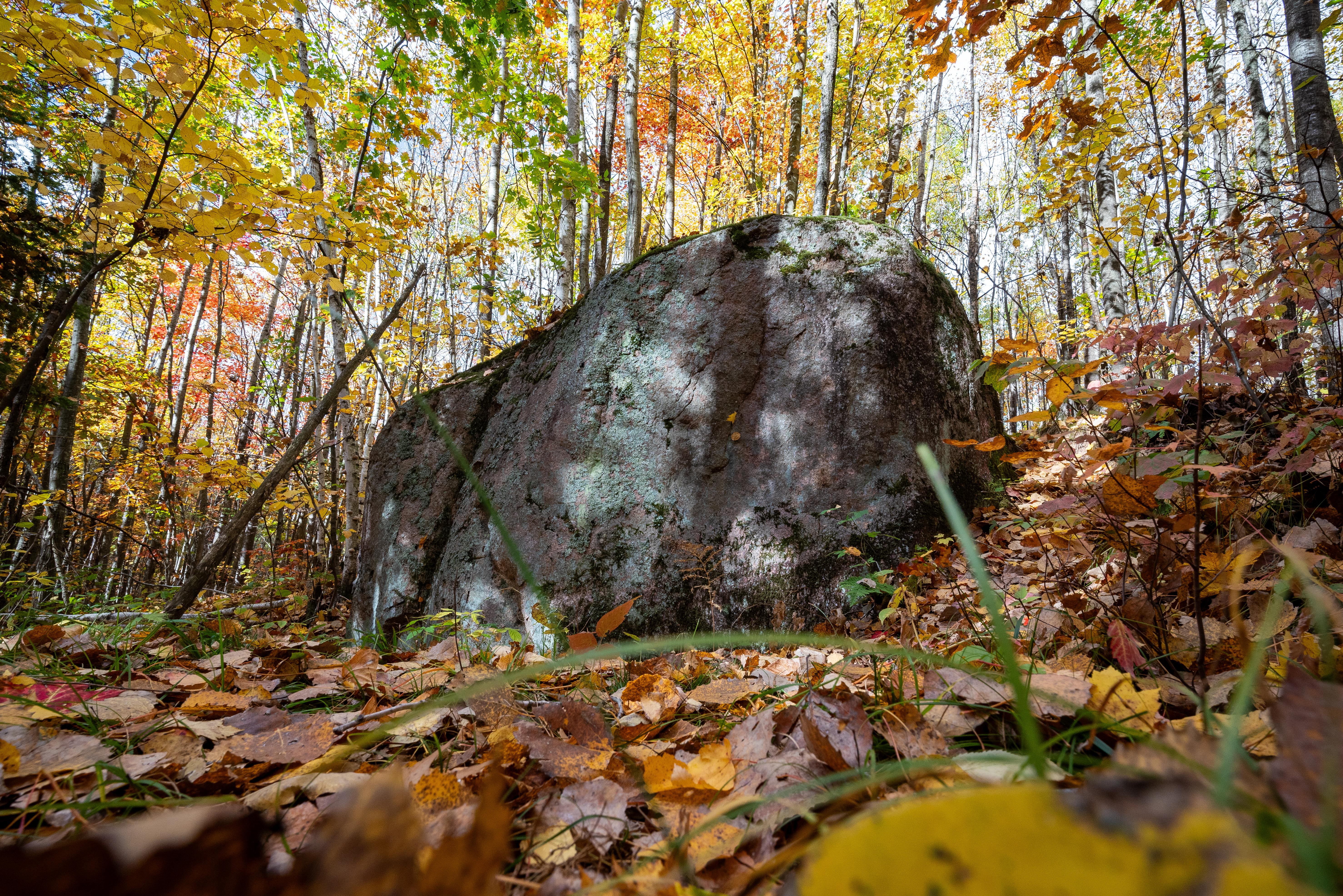
The Ice Age National Scenic Trail spans 1,200 miles, traverses some of Wisconsin's finest geologic and glacial features, and passes through the ancestral lands of 15 Tribes. The Trail is built, manage...
13 mi from route
~32 min detour
Free
Caution: Averill–Kelly Creek Wilderness Segment — Dangerous Ford at New Wood River
Caution: Skunk and Foster Lakes Segment — Storm Damage
Park data from the National Park Service API. Alerts update every 2 hours.
More Details
What kind of drive is this?
Prepare for a turn-heavy local drive that keeps you engaged behind the wheel. Unlike a monotonous interstate slog, this route features zero highway miles, meaning you will be navigating local roads for the entire 141.3-mile duration. Because there are no long stretches—even the longest segment on West Grove Street offers no continuous highway speed—you should anticipate a slower, more rhythmic pace. The character of the road changes frequently as you transition through various local thoroughfares. This is a hands-on driving experience where your focus will remain on navigating the twists and turns of the regional landscape.
90% highway — fuel and pacing are the main things to plan.
21 navigation steps total — most of the decisions cluster near the start and finish.
Longest single stretch: 55.6 mi on I 94.
How Hard Is This Drive?
7/10
This is a straightforward highway drive that stays mostly on I 94 and I 39. This route has several spots where lane changes, forks, or exits need your full attention. The trickiest moment comes early in the drive near West Grove Street.
Driving Effort7/10
Demanding - plan breaks and stay ahead of the key maneuvers
Balances navigation complexity with total wheel time.
This is a demanding drive. With 12 significant decision points across 141.3 miles, you will need to stay alert - especially through interchange areas and urban stretches. Consider splitting it into segments if you are not comfortable with fast highway navigation.
Where does it get tricky?
The main spots that need attention: near the start (West Grove Street): Navigation decision point; at 43.5 miles (I 39): Highway fork - watch signs carefully. Lane positioning matters here; at 73.1 miles (I 94): Highway fork - watch signs carefully. Lane positioning matters here.
Elevation Profile
Mostly flat terrain
1,014 ft798 ft
Total Climb
388 ft
Total Descent
451 ft
Highest Point
1,014 ft
~121.1 mi in
Elevation Range
216 ft
Towns Mentioned on Route Signs
Based on OSRM destination-sign hints, not a full list of every settlement the road passes.
Between Adams, WI and Menomonee Falls, WI, road signs point toward Cth F: Waukesha, Sussex and Cth F North: Waukesha.
Cth F: Waukesha
128.7 mi in|~2h 30m
Sussex
128.7 mi in|~2h 30m
Cth F North: Waukesha
129 mi in|~2h 31m
Who Is This Route For?
Weekend Trip
Doable as a same-day drive at 2h 54m. Total distance: 141.3 miles.
Family Friendly
Moderate complexity with 1 natural rest stops along the way.
Solo Traveler
2h 54m drive, comfortable solo distance.
First-Time Driver
Mostly highway driving (90%). Some complex stretches to watch for.
Frequently Asked Questions
The longest stretch is about 55.6 miles on I 94. The full list of main roads is in the Roads section above.
It helps. This route has a higher-than-average number of complex decision points, which get harder in the dark. If the last hour of the trip is on surface roads or mountain grades, aim to arrive at Menomonee Falls, WI before sunset when you can. Check the Trip Plan for departure windows that land you in daylight.
Only with planning. This is a long drive for kids — consider splitting it into two days rather than pushing through. Plan at least 1 meaningful breaks. Dedicated rest areas are limited, so plan gas or food stops as your bathroom breaks.
The main spots that need attention: near the start (West Grove Street): Navigation decision point; at 43.5 miles (I 39): Highway fork - watch signs carefully. Lane positioning matters here; at 73.1 miles (I 94): Highway fork - watch signs carefully. Lane positioning matters here.
Yes — Ice Age National Scenic Trail. See the National Parks section for detour distances and tips on detours.
Yes. A round trip is manageable in a single day if you plan a break at Menomonee Falls, WI before heading back.