This 154.7-mile journey from Scottsville, KY, to Lexington, KY, is an easy one-day trip, taking around 3 hours and 3 minutes to complete. You'll primarily navigate via the Cumberland Parkway and US 127, with about 64% of the drive on highways. Budget approximately $24 for fuel for this drive. The route offers a straightforward path through Kentucky's Southeast region, making it a practical option for a quick excursion. With only one suggested stop and a longest stretch of over 50 miles on the Cumberland Parkway, you can cover significant ground efficiently.
Trip Pace
Same-day drive is realistic
A same-day return is realistic if you keep stops short.
Break Rhythm
1 planned break
A short stop every 2 to 3 hours is enough for this drive.
Midpoint
77.4 miles from Scottsville, KY
A natural place for your longest stop of the day
, about 1h 26m into the drive
.
Main Roads
Road
Distance
Duration
Cumberland Parkway
50.3 mi
53m
US 127
48.4 mi
56m
Lexington Road
15.2 mi
19m
Scottsville Road
12.5 mi
14m
New Glasgow Road
8.5 mi
9m
Danville Road
6 mi
6m
South Main Street
3.9 mi
6m
Nicholasville Road
2.2 mi
3m
Longest stretch:
Cumberland Parkway
— 50.3 mi, about 53m
Turn-by-Turn Driving Directions
Step-by-step road directions between Scottsville, KY and Lexington, KY.
1
Start on KY 101
1.3 mi·2 min·Smiths Grove Road
2
Turn right onto US 31E
8.5 mi·9 min·New Glasgow Road
3
Continue on US 31E
12 mi·14 min·Scottsville Road
4
Take the exit
0.4 mi·52 sec
5
Merge onto Cumberland Parkway
50 mi·53 min·Cumberland Parkway
6
Take the exit
0.3 mi·30 sec
Exit 62Toward US 127: Jamestown, Russell Springs
7
Merge onto US 127
48 mi·56 min·US 127
8
Turn right onto US 150; KY 34; KY 52
0.3 mi·37 sec·West Main Street
9
Turn left onto KY 34
0.3 mi·23 sec·Wilderness Road
10
Continue on KY 34
0.9 mi·1 min·East Lexington Avenue
11
Continue on KY 34
0.7 mi·1 min·Lexington Road
12
Continue on KY 34
3.6 mi·5 min·Lexington Road
13
Continue on KY 34
1.4 mi·2 min·Chenault Bridge Road
14
Turn left onto US 27
6.4 mi·7 min·Lexington Road
15
Continue on US 27
6.0 mi·6 min·Danville Road
16
Turn right onto US 27 Business
3.9 mi·6 min·South Main Street
17
Turn right onto US 27
4.5 mi·5 min·Lexington Road
18
Continue on US 27
2.2 mi·3 min·Nicholasville Road
19
Take the exit
0.3 mi·44 sec
Toward KY 4 East: New Circle RoadUse the right lane.
20
Merge onto KY 4
1.0 mi·1 min·New Circle Road
21
Take the exit
0.2 mi·33 sec
Exit 18Toward KY 1974: LexingtonUse the straight / slight right lanes.
22
Turn right onto KY 1974
0.2 mi·28 sec·Tates Creek Road
23
Turn left onto Gainesway Drive
1.0 mi·2 min·Gainesway Drive
24
Turn left onto Coldstream Drive
261 ft·9 sec·Coldstream Drive
25
Arrive at destination
Coldstream Drive
Trip Plan
For this 3-hour, 3-minute drive, leaving in the morning allows you plenty of time to reach Lexington without feeling rushed. With only one recommended stop and a longest unbroken stretch of 50.3 miles, you have flexibility in planning your breaks. Keep an eye on your fuel gauge, especially as you transition off the Cumberland Parkway; a $24 fuel cost estimate suggests filling up beforehand is wise. The most direct path involves the Cumberland Parkway and US 127, so staying oriented on these main roads will keep you on track.
Morning Departure
An early start around 7-8 AM gets you there with plenty of daylight left.
Evening Departure
A late afternoon start means arriving after dark. Morning is better.
You can normally do this drive in one day.
Plan roughly 1 meaningful break for fuel, food, and rest.
The halfway point lands around 77.4 miles from Scottsville, KY, or about 1h 26m into the drive.
The longest continuous stretch on this route runs about 50.3 miles.
This is a comfortable same-day trip.
Departure
Before you leave
Start with fuel, water, and navigation already sorted so the first hour feels easy.
First stop
Around 34 miles or 39m in
Use this first pause for coffee, a restroom break, and a quick traffic check ahead.
Halfway reset
Around 77.4 miles or 1h 26m in
This is the best place for your longest stop, a real meal, and a full fuel check.
Final approach
Final hour starts around 2h 25m
Traffic, exits, and arrival timing usually matter more near Lexington, KY than in the middle of the route.
Before You Leave
+
Open the route before leaving Scottsville, KY so your first major turns are already loaded.
+
Leave with enough water and a charging cable within reach, not packed away.
+
Check your fuel range against the first long segment, especially if you are starting outside city service areas.
Day 1
Settle into the route from Scottsville, KY
This is one driving day of about 154.7 miles and 3h 3m.
Your first comfortable stop window is around 34 miles from Scottsville, KY.
This route can stay practical as a one-day drive if traffic stays reasonable.
Plan about 1 real break rather than only quick fuel stops.
The longest stretch is on Cumberland Parkway for about 50.3 miles.
Where to Stop
Rest stops, refuel points, and overnight suggestions along this route.
Place data sourced from public business listings. Hours and availability may vary.
Heads-up: tricky spots
5 of 14
5 decision points cluster between mile 72.9 and 153.4 — GPS handles the exact turns, but know they're coming. Your lane choice matters more than the turn itself.
6
72.9 mi into trip|~1h 20m in
Take the exit toward US 127: Jamestown, Russell Springs
Exit ramp - move to the correct lane early. Multiple destination signs - pick the right one
Exit 62
Toward US 127: Jamestown, Russell Springs
4
121.6 mi into trip|~2h 17m in|US 150; KY 34; KY 52 / West Main Street
Turn right onto US 150; KY 34; KY 52 / West Main Street
Navigation decision point
6
151.8 mi into trip|~2h 57m in
Take the exit toward KY 4 East: New Circle Road
Exit ramp - move to the correct lane early. Lane positioning matters here
Use the right lane.
Toward KY 4 East: New Circle Road
7
153.2 mi into trip|~2h 59m in
Take the exit toward KY 1974: Lexington
Exit ramp - move to the correct lane early. Lane positioning matters here
Use the straight / slight right lanes.
Exit 18
Toward KY 1974: Lexington
4
153.4 mi into trip|~3h in|KY 1974 / Tates Creek Road
Turn right onto KY 1974 / Tates Creek Road
Navigation decision point
Fuel & Cost
Regular Gas
$24.19 one way
$48.37 round trip
$3.97/gal25.4 MPG avg54 kg CO2
Fuel Type
$/gal
One Way
Round Trip
midgrade
$4.36
$26.55
$53.11
premium
$4.89
$29.77
$59.54
diesel
$5.61
$34.16
$68.31
No toll roads detected on this route.
Estimated Trip Cost (one way, 1 person)
Fuel
$24
Meals
$25–$50
Total
$49–$74
Rough estimate based on US averages. Hotel $80–$140/night, meals $25–$50/day.
Estimated CO2 emission: 54.1 kg one way.
Prices: EIA weekly data, 2026-04-13.
Driving Electric?
About $16 in charging
· 0 stops
· 67% less CO2
Vehicle Type
kWh
Stops
DC Fast
Home Charge
Average EV
46.4
0
$16.24
$7.43
Efficient EV
38.7
0
$13.54
$6.19
EV Truck/SUV
61.9
0
$21.66
$9.90
Gas CO2
54 kg
EV CO2
18 kg (67% less)
This trip is well within single-charge range for most EVs. No charging stops needed if you start fully charged.
DC fast charging avg $0.35/kWh. Home charging avg $0.16/kWh. US grid CO2: 0.39 kg/kWh.
Travel Intel
Current conditions at both ends of the drive.
Forecast as of Apr 15, 2026
Origin
Scottsville, KY
Late night
in Scottsville on Sunday
Local time
5:14 AM
CDT
Current temp
75°F
Unavailable
Live forecast
Destination
Lexington, KY
Morning
in Lexington on Sunday
Local time
6:14 AM
EDT
Current temp
73°F
Unavailable
Live forecast
80°F
Junction City, KY
77 mi in
Seasonal Notes
Summer travel usually means heavier construction, hotter rest stops, and busier weekend traffic around major cities.
Winter travel shortens daylight, so a route that looks manageable on paper can feel much longer after dark.
Holiday weekends tend to make both departure and arrival windows slower than the raw route time suggests.
Time zone
1 hour later
The destination clock does not match departure time, so double-check hotel check-in windows and late arrival plans.
Temperature spread
2 degrees cooler at arrival
A meaningful temperature swing is a good cue to rethink layers, water, and how soon you want to arrive.
Road read
3h 3m on the road
Use the two city cards together: check the sky where you start, then compare it with the local time and temperature at arrival.
Weather data from the National Weather Service. Conditions may change; check closer to your travel date.
National Parks Near This Route
Worth a detour if your schedule allows.
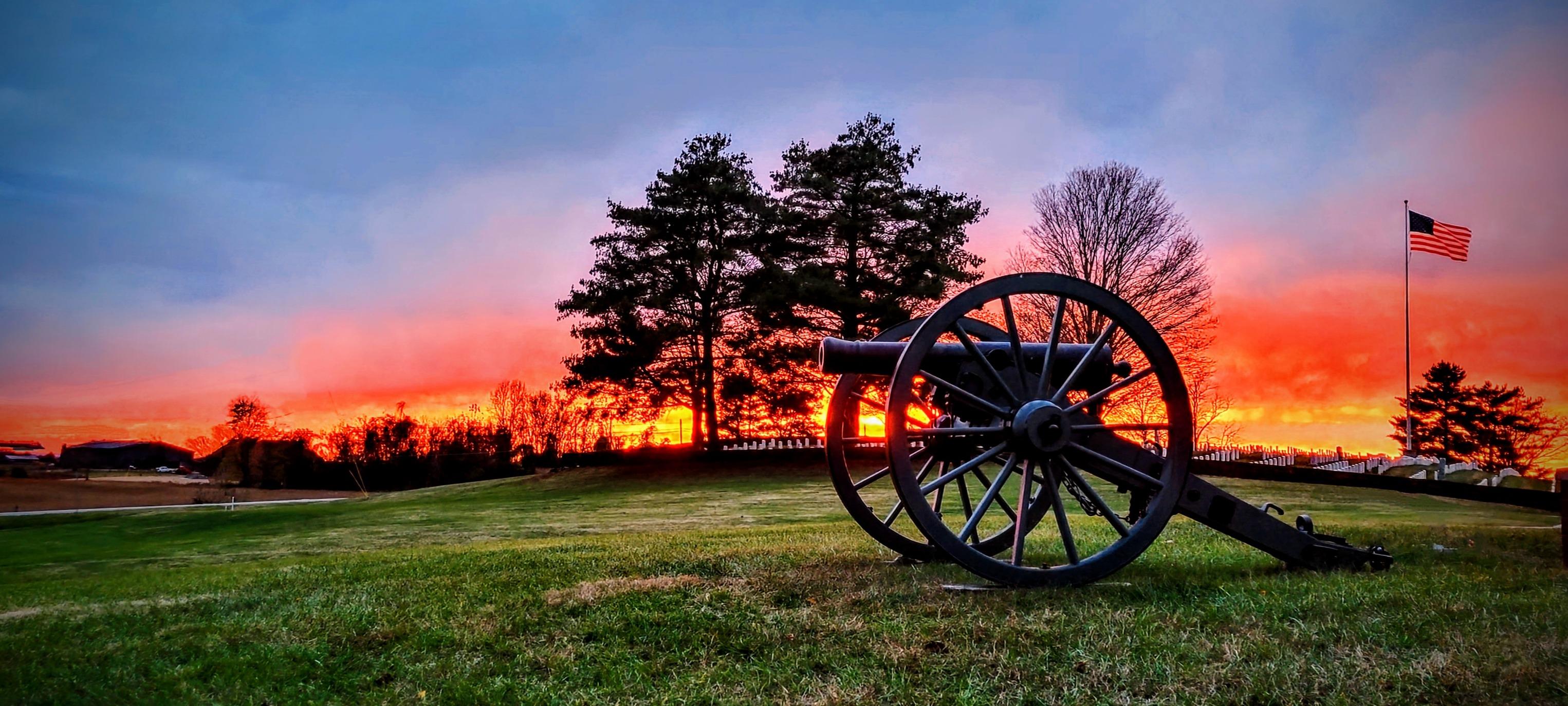
Camp Nelson National Monument
National Monument
The US Army established Camp Nelson as a fortified supply depot in April 1863. Over the next 3 years, the site evolved into a massive recruitment and training center for United States Colored Troops a...
1 mi from route
~3 min detour
Free
near mile 138.7
The US won a significant victory early in the Civil War at the Battle of Mill Springs. Explore the rolling fields of Kentucky where the battle took place and learn about that state's strategic importa...
Rolling hills, deep river valleys, and the world's longest known cave system. Mammoth Cave National Park is home to thousands of years of human history and a rich diversity of plant and animal life, e...
19 mi from route
~47 min detour
Free
near mile 21.3
Park data from the National Park Service API. Alerts update every 2 hours.
More Details
What kind of drive is this?
Expect a highway-focused drive, with 64% of the 154.7 miles on more direct routes. The character of the road shifts as you progress, beginning with stretches like the 50.3-mile segment on the Cumberland Parkway before transitioning to roads like US 127. This blend offers a mix of faster travel and more local road experiences as you approach Lexington. The drive is not a monotonous interstate grind but rather a progressive journey with varying road types.
64% highway — fuel and pacing are the main things to plan.
25 navigation steps total — most of the decisions cluster near the start and finish.
Longest single stretch: 50.3 mi on Cumberland Parkway.
How Hard Is This Drive?
5/10
This is a straightforward highway drive that stays mostly on Cumberland Parkway and US 127. You will hit about 14 points where you need to pay attention to lane position or signs. The trickiest moment comes around 72.9 miles in.
Driving Effort5/10
Moderate - straightforward overall, but long enough or busy enough to require pacing
Balances navigation complexity with total wheel time.
This drive requires moderate attention. Across 154.7 miles you will encounter 14 spots where lane choice or exit timing matters. Not difficult for experienced highway drivers, but worth previewing the tricky sections before you go.
Where does it get tricky?
The main spots that need attention: at 72.9 miles: Exit ramp - move to the correct lane early. Multiple destination signs - pick the right one; at 121.6 miles (US 150; KY 34; KY 52 / West Main Street): Navigation decision point; at 151.8 miles: Exit ramp - move to the correct lane early. Lane positioning matters here.
Towns Mentioned on Route Signs
Based on OSRM destination-sign hints, not a full list of every settlement the road passes.
On the drive from Scottsville, KY to Lexington, KY, road signs begin pointing toward Russell Springs along the way.
Lexington is the second largest city in Kentucky, located in the Bluegrass Region. Known as the Horse Capital of the World, Lexington has traditionally been dominated by the horse industry and is also heavily influenced by the University of Kentucky, the state's flagship university and the largest employer in the city. The horse industry has greatly influenced Lexington's culture and scenic beauty; the University of Kentucky and Transylvania University contribute to a college town atmosphere with a richer and more diverse culture than some might expect from its size and location. Lexington's compact central downtown district is surrounded by historic neighborhoods. Lexington is in the heart of the Bluegrass region of Kentucky and is still home to hundreds of horse farms.
Doable as a same-day drive at 3h 3m. Total distance: 154.7 miles.
Family Friendly
Moderate complexity with 1 natural rest stops along the way.
Solo Traveler
3h 3m drive, comfortable solo distance.
First-Time Driver
Mostly highway driving (64%). Some complex stretches to watch for.
Frequently Asked Questions
The longest stretch is about 50.3 miles on Cumberland Parkway. The full list of main roads is in the Roads section above.
We did not find dedicated rest areas on this route. For a drive this long, plan bathroom and stretch breaks around gas stations, fast-food stops, or small-town downtowns — check the Nearby Places section for options.
Yes, with realistic expectations. Build in a stop roughly every 2 hours, have snacks and activities ready, and check the Nearby Places tabs for kid-friendly stops along the way.
The main spots that need attention: at 72.9 miles: Exit ramp - move to the correct lane early. Multiple destination signs - pick the right one; at 121.6 miles (US 150; KY 34; KY 52 / West Main Street): Navigation decision point; at 151.8 miles: Exit ramp - move to the correct lane early. Lane positioning matters here.
Yes — Camp Nelson National Monument, Mill Springs Battlefield National Monument and Mammoth Cave National Park. See the National Parks section for detour distances and tips on detours.
Possible but tiring. At 3.1 hours each way, an in-and-out day trip would put you behind the wheel for 6.1 hours — manageable with a long break at Lexington, KY, but most travelers stay overnight.