Santa Fe to Crownpoint is 192.5 miles and takes about 3 hours 33 minutes via Coronado Freeway and I 25, with a fuel budget near $29 and enough daylight to finish in a day. This drive stays within the Desert Southwest, making it a straightforward, single-day trip. You'll spend most of your time on major highways, so expect a focused, efficient journey. This route is ideal if you're looking for a direct path with minimal complexity, prioritizing getting to your destination smoothly. It's a practical choice for those who want to cover ground without extensive detours.
Trip Pace
Same-day drive is realistic
A same-day return is realistic if you keep stops short.
Break Rhythm
1 planned break
A short stop every 2 to 3 hours is enough for this drive.
Midpoint
96.3 miles from Santa Fe, NM
A natural place for your longest stop of the day
, about 1h 42m into the drive
.
Main Roads
Road
Distance
Duration
Coronado Freeway
105.1 mi
1h 46m
I 25
57.3 mi
58m
State Highway 371
24 mi
36m
Old Pecos Trail
2.9 mi
5m
Chaco Boulevard
0.8 mi
2m
Old Santa Fe Trail
0.6 mi
1m
Cathedral Place
0.2 mi
<1m
East Alameda Street
0.1 mi
<1m
Longest stretch:
Coronado Freeway
— 105.1 mi, about 1h 46m
Turn-by-Turn Driving Directions
Step-by-step road directions between Santa Fe, NM and Crownpoint, NM.
1
Start on East San Francisco Street
294 ft·11 sec·East San Francisco Street
2
Turn right onto Cathedral Place
0.2 mi·26 sec·Cathedral Place
3
At end of road, turn right onto East Alameda Street
0.1 mi·24 sec·East Alameda Street
4
Turn left onto Old Santa Fe Trail
0.6 mi·1 min·Old Santa Fe Trail
5
Continue on Old Pecos Trail
2.9 mi·5 min·Old Pecos Trail
Use the straight / right lanes.
6
Take the ramp
0.3 mi·37 sec
Toward I 25 South: Albuquerque
7
Merge onto I 25
57 mi·58 min·I 25
Use the straight / slight right lanes.
8
Take the exit
0.2 mi·24 sec
Exit 226A-BToward I 40: Gallup, Santa RosaUse the straight / slight right lanes.
9
Keep slight right at fork
0.5 mi·45 sec
Exit 226BToward I 40 West: GallupUse the straight / slight right lanes.
10
Merge onto I 40
105 mi·1 hr 46 min·Coronado Freeway
Use the straight / slight right lanes.
11
Take the exit
0.5 mi·43 sec
Exit 53Toward NM 612, NM 371: Thoreau
12
Turn right onto NM 371
24 mi·36 min·State Highway 371
13
Turn left onto N1042
519 ft·14 sec·Stacher Street
14
Continue on N1042
0.8 mi·2 min·Chaco Boulevard
15
Turn right onto N1043
92 ft·4 sec·N1043
16
Arrive at destination
N1043
Trip Plan
Given the 3 hour 33 minute duration, this is a comfortable one-day trip, so you have flexibility with your departure time. Plan to leave Santa Fe in the morning to ensure you have ample daylight for the entire drive. With a 192.5-mile distance, you won't need to make extensive stops, but keep an eye on your fuel gauge, especially during the longest 105.1-mile stretch on the Coronado Freeway, as services can be spread out. The $29 fuel estimate is a good baseline, but it's always wise to top off before heading out.
Morning Departure
An early start around 7-8 AM gets you there with plenty of daylight left.
Evening Departure
A late afternoon start means arriving after dark. Morning is better.
You can normally do this drive in one day.
Plan roughly 1 meaningful break for fuel, food, and rest.
The halfway point lands around 96.3 miles from Santa Fe, NM, or about 1h 42m into the drive.
The longest continuous stretch on this route runs about 105.1 miles.
This is a comfortable same-day trip.
Departure
Before you leave
Start with fuel, water, and navigation already sorted so the first hour feels easy.
First stop
Around 42 miles or 46m in
Use this first pause for coffee, a restroom break, and a quick traffic check ahead.
Halfway reset
Around 96.3 miles or 1h 42m in
This is the best place for your longest stop, a real meal, and a full fuel check.
Final approach
Final hour starts around 2h 45m
Traffic, exits, and arrival timing usually matter more near Crownpoint, NM than in the middle of the route.
Before You Leave
+
Open the route before leaving Santa Fe, NM so your first major turns are already loaded.
+
Leave with enough water and a charging cable within reach, not packed away.
+
Check your fuel range against the first long segment, especially if you are starting outside city service areas.
Day 1
Settle into the route from Santa Fe, NM
This is one driving day of about 192.5 miles and 3h 33m.
Your first comfortable stop window is around 42 miles from Santa Fe, NM.
This route can stay practical as a one-day drive if traffic stays reasonable.
Plan about 1 real break rather than only quick fuel stops.
The longest stretch is on Coronado Freeway for about 105.1 miles.
Where to Stop
Rest stops, refuel points, and overnight suggestions along this route.
Place data sourced from public business listings. Hours and availability may vary.
Heads-up: tricky spots
5 of 12
5 decision points cluster between mile 0.2 and 167.1 — GPS handles the exact turns, but know they're coming. Your lane choice matters more than the turn itself.
6
0.2 mi into trip|~0m in|East Alameda Street
At end of road, turn right onto East Alameda Street
Complex interchange - multiple decisions in a short stretch
5
4.1 mi into trip|~8m in|I 25
Merge onto I 25
Merge point - match speed before joining. Lane positioning matters here
Use the straight / slight right lanes.
8
61.3 mi into trip|~1h 6m in
Take the exit toward I 40: Gallup, Santa Rosa
Exit ramp - move to the correct lane early. Lane positioning matters here. Multiple destination signs - pick the right one
Use the straight / slight right lanes.
Exit 226A-B
Toward I 40: Gallup, Santa Rosa
8
61.5 mi into trip|~1h 7m in
Keep slight right at fork toward I 40 West: Gallup
Highway fork - watch signs carefully. Lane positioning matters here
Use the straight / slight right lanes.
Exit 226B
Toward I 40 West: Gallup
6
167.1 mi into trip|~2h 54m in
Take the exit toward NM 612, NM 371: Thoreau
Exit ramp - move to the correct lane early. Multiple destination signs - pick the right one
Exit 53
Toward NM 612, NM 371: Thoreau
Fuel & Cost
Regular Gas
$29.07 one way
$58.14 round trip
$3.84/gal25.4 MPG avg67 kg CO2
Fuel Type
$/gal
One Way
Round Trip
midgrade
$4.21
$31.91
$63.83
premium
$4.56
$34.55
$69.10
diesel
$5.61
$42.50
$85.00
No toll roads detected on this route.
Estimated Trip Cost (one way, 1 person)
Fuel
$29
Meals
$25–$50
Total
$54–$79
Rough estimate based on US averages. Hotel $80–$140/night, meals $25–$50/day.
Estimated CO2 emission: 67.4 kg one way.
Prices: EIA weekly data, 2026-04-13.
Driving Electric?
About $20 in charging
· 0 stops
· 66% less CO2
Vehicle Type
kWh
Stops
DC Fast
Home Charge
Average EV
57.8
0
$20.21
$9.24
Efficient EV
48.1
0
$16.84
$7.70
EV Truck/SUV
77
0
$26.95
$12.32
Gas CO2
67 kg
EV CO2
23 kg (66% less)
This trip is well within single-charge range for most EVs. No charging stops needed if you start fully charged.
DC fast charging avg $0.35/kWh. Home charging avg $0.16/kWh. US grid CO2: 0.39 kg/kWh.
Travel Intel
Current conditions at both ends of the drive.
Forecast as of Apr 15, 2026
Origin
Santa Fe, NM
Evening
in Santa Fe on Saturday
Local time
8:49 PM
MDT
Current temp
72°F
Unavailable
Live forecast
Destination
Crownpoint, NM
Evening
in Crownpoint on Saturday
Local time
8:49 PM
MDT
Current temp
40°F
Unavailable
Live forecast
Seasonal Notes
Summer travel usually means heavier construction, hotter rest stops, and busier weekend traffic around major cities.
Winter travel shortens daylight, so a route that looks manageable on paper can feel much longer after dark.
Holiday weekends tend to make both departure and arrival windows slower than the raw route time suggests.
Time zone
Same local time
Origin and destination are on the same clock, so arrival timing is easier to judge at a glance.
Temperature spread
32 degrees cooler at arrival
A meaningful temperature swing is a good cue to rethink layers, water, and how soon you want to arrive.
Road read
3h 33m on the road
Use the two city cards together: check the sky where you start, then compare it with the local time and temperature at arrival.
Weather data from the National Weather Service. Conditions may change; check closer to your travel date.
National Parks Near This Route
Worth a detour if your schedule allows.
Petroglyph National Monument
National Monument
Petroglyph National Monument protects one of the largest petroglyph sites in North America, featuring designs and symbols carved onto volcanic rocks by Native Americans and Spanish settlers 400 to 700...
3 mi from route
~8 min detour
Free
near mile 66.4
Caution: Be City Smart: Take precautions to secure your vehicle and valuables.
Pecos is a natural and cultural crossroads through which hunters, gatherers, traders, missionaries, immigrants, soldiers, ranchers, and other travelers passed and lived. Follow in their footsteps and...
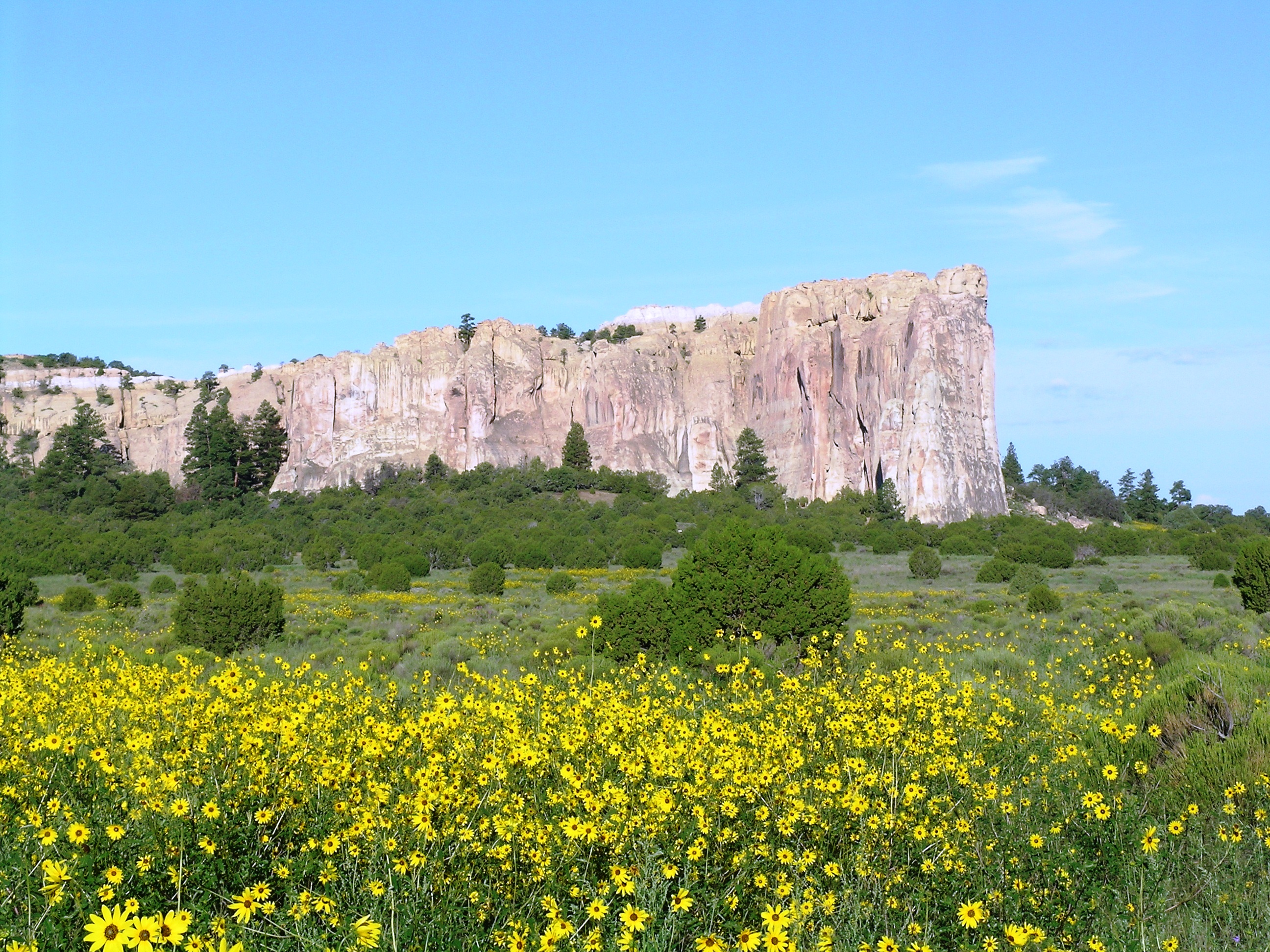
The richly diverse volcanic landscape of El Malpais (el-mal-pie-EES) offers solitude, recreation, and adventure. Explore incredible geologic features such as young lava flows, cinder cones, lava tubes...
19 mi from route
~47 min detour
Free
near mile 132.8
Bandelier National Monument protects over 33,000 acres of ruggedly beautiful canyon and mesa country. Petroglyphs, dwellings carved into the soft rock cliffs, and standing masonry walls pay tribute to...
20 mi from route
~49 min detour
$25
near mile 13.3
The Manhattan Project is one of the most transformative events of the 20th century. It ushered in the nuclear age with the development of the world’s first atomic bombs. Most of this development took...
24 mi from route
~61 min detour
Free
near mile 13.3
Imagine the refreshment of finding water after days of dusty travel. A reliable waterhole hidden at the base of a sandstone bluff made El Morro (the headland) a popular campsite for hundreds of years....
26 mi from route
~64 min detour
Free
near mile 166
Park data from the National Park Service API. Alerts update every 2 hours.
More Details
What kind of drive is this?
This route is overwhelmingly highway-focused, with 97% of the drive taking place on major roads like the Coronado Freeway and I 25. You'll experience long stretches of consistent driving, including one segment of 105.1 miles on the Coronado Freeway. The character of the drive is primarily that of a high-speed journey, allowing for steady progress. Expect a predominantly utilitarian road experience as you navigate these well-maintained highways across New Mexico.
97% highway — fuel and pacing are the main things to plan.
16 navigation steps total — most of the decisions cluster near the start and finish.
Longest single stretch: 105.1 mi on Coronado Freeway.
How Hard Is This Drive?
5/10
This is a straightforward highway drive that stays mostly on Coronado Freeway and I 25. You will hit about 12 points where you need to pay attention to lane position or signs. The trickiest moment comes around 0.2 miles in near East Alameda Street.
Driving Effort5/10
Moderate - straightforward overall, but long enough or busy enough to require pacing
Balances navigation complexity with total wheel time.
This drive requires moderate attention. Across 192.5 miles you will encounter 12 spots where lane choice or exit timing matters. Not difficult for experienced highway drivers, but worth previewing the tricky sections before you go.
Where does it get tricky?
The main spots that need attention: at 0.2 miles (East Alameda Street): Complex interchange - multiple decisions in a short stretch; at 4.1 miles (I 25): Merge point - match speed before joining. Lane positioning matters here; at 61.3 miles: Exit ramp - move to the correct lane early. Lane positioning matters here. Multiple destination signs - pick the right one.
Towns Mentioned on Route Signs
Based on OSRM destination-sign hints, not a full list of every settlement the road passes.
On the drive from Santa Fe, NM to Crownpoint, NM, road signs begin pointing toward Santa Rosa along the way.
Santa Rosa
61.3 mi in|~1h 6m
Who Is This Route For?
Weekend Trip
Doable as a same-day drive at 3h 33m. Total distance: 192.5 miles.
Family Friendly
Moderate complexity with 1 natural rest stops along the way.
Solo Traveler
3h 33m drive, comfortable solo distance.
First-Time Driver
Mostly highway driving (97%). Some complex stretches to watch for.
Frequently Asked Questions
The longest stretch is about 105.1 miles on Coronado Freeway. The full list of main roads is in the Roads section above.
We did not find dedicated rest areas on this route. For a drive this long, plan bathroom and stretch breaks around gas stations, fast-food stops, or small-town downtowns — check the Nearby Places section for options.
Yes, with realistic expectations. Build in a stop roughly every 2 hours, have snacks and activities ready, and check the Nearby Places tabs for kid-friendly stops along the way.
Mostly yes along the main roads, but rural stretches through NM can have sparse or no coverage. Before you leave, download offline Google Maps or Apple Maps for the route, and consider downloading music or podcasts instead of streaming. If you depend on data for navigation, keep a paper backup of the turn-by-turn directions.
The main spots that need attention: at 0.2 miles (East Alameda Street): Complex interchange - multiple decisions in a short stretch; at 4.1 miles (I 25): Merge point - match speed before joining. Lane positioning matters here; at 61.3 miles: Exit ramp - move to the correct lane early. Lane positioning matters here. Multiple destination signs - pick the right one.
Yes — Petroglyph National Monument, Pecos National Historical Park and El Malpais National Monument (6 total within detour distance). See the National Parks section for detour distances and tips on detours.
Possible but tiring. At 3.6 hours each way, an in-and-out day trip would put you behind the wheel for 7.1 hours — manageable with a long break at Crownpoint, NM, but most travelers stay overnight.