Rest Area
0 mi from route
Compiled and reviewed by the US Trip Planner planning team at COD Solutions Oy · Last reviewed Jul 19, 2026 · Editorial standards
Drive Time
5h 39m
Distance
274.8 mi
442 km
Drive Score
8/10
Great drive
Same Day?
Yes, doable
Fuel Cost
$57
one way
EV Charging
Unknown
Estimated drive times based on typical traffic patterns. Actual times may vary with weather, construction, and real-time conditions.

Oakland, CA
Wikimedia Commons

Eureka, CA
Wikimedia Commons
Oakland to Eureka is 274.8 miles and takes about 5h 39m via Redwood Highway, with a fuel budget near $63 and enough daylight to finish in a day. This drive takes you from the Pacific Coast region of California to another part of the Pacific Coast, offering a straightforward trip up the coast. With most of the route on surface roads, it's a more relaxed pace than a pure freeway dash. Consider this trip if you're looking for a single-day drive with minimal highway time, keeping your budget for fuel in check at around $63.
Trip Pace
Same-day drive is realistic
A same-day return is possible, but it will make for a full day on the road.
Break Rhythm
1 planned break
Plan on a short reset every 3 to 4 hours to stay fresh behind the wheel.
Midpoint
137.4 miles from Oakland, CA
A natural place for your longest stop of the day , about 2h 47m into the drive .
| Road | Distance | Duration |
|---|---|---|
| Redwood Highway | 245.2 mi | 4h 56m |
| John T. Knox Freeway | 12.9 mi | 17m |
| Willits Bypass | 4.7 mi | 5m |
| Eastshore Freeway | 3.3 mi | 4m |
| Broadway Street | 2.9 mi | 6m |
| MacArthur Freeway | 1.7 mi | 2m |
| West 5th Street | 0.6 mi | 1m |
| 14th Street | 0.4 mi | 1m |
Step-by-step road directions between Oakland, CA and Eureka, CA.
Start on 14th Street
Turn right onto Castro Street
Take the ramp
Merge onto I 980
Take the exit
Keep slight left at fork
Merge onto I 580
Continue on I 80; I 580
Keep slight right at fork onto I 580
Keep slight left at fork
Merge onto US 101
Continue on US 101
Take the exit
Merge onto US 101
Continue on US 101
Continue on US 101
Turn right onto US 101
Turn right onto H Street
Arrive at destination
For this 5h 39m drive, leaving in the morning is advisable to maximize daylight, especially since most of the route is on surface roads. The longest stretch is 245.2 miles on the Redwood Highway, so plan for a mid-drive break around the halfway point to stay refreshed. With a fuel cost estimated at $63, it's wise to ensure you have a full tank before departing Oakland, as services might be more spread out on the Redwood Highway. Given it's a single-day trip, you have the flexibility to stop more often if needed.
Morning Departure
An early start around 7-8 AM gets you there with plenty of daylight left.
Evening Departure
A late afternoon start means arriving after dark. Morning is better.
This is a comfortable same-day trip.
Departure
Before you leave
Start with fuel, water, and navigation already sorted so the first hour feels easy.
First stop
Around 60 miles or 1h 15m in
Use this first pause for coffee, a restroom break, and a quick traffic check ahead.
Halfway reset
Around 137.4 miles or 2h 47m in
This is the best place for your longest stop, a real meal, and a full fuel check.
Final approach
Final hour starts around 4h 35m
Traffic, exits, and arrival timing usually matter more near Eureka, CA than in the middle of the route.
Open the route before leaving Oakland, CA so your first major turns are already loaded.
Leave with enough water and a charging cable within reach, not packed away.
Check your fuel range against the first long segment, especially if you are starting outside city service areas.
Day 1
Settle into the route from Oakland, CA
This is one driving day of about 274.8 miles and 5h 39m.
Rest stops, refuel points, and overnight suggestions along this route.

Mid-route town
Meal stop
137 mi into the route
Best for: Lunch, fuel, and a longer reset
This sits close to the middle of the route, so it works well for the longest stop of the day.
A short stop after about 60 miles helps settle the day before fatigue starts building.
The midpoint is around 137.4 miles from Oakland, CA, which is a good place for a longer meal and fuel stop.
Before the longest stretch
Fuel checkTop up before Redwood Highway if your tank is already low. That segment runs about 245.2 miles.
These stop ideas are pacing suggestions — the exact town or exit can change with traffic, hotel plans, and fuel range.
Picked by where they fit in your drive — first break, midpoint reset, final stretch.
Place data sourced from public business listings. Hours and availability may vary.
5 decision points cluster between mile 0.6 and 20 — GPS handles the exact turns, but know they're coming. Your lane choice matters more than the turn itself.
Take the ramp toward I 980 East, CA 24: Walnut Creek, San Francisco, Hayward
Multiple destination signs - pick the right one
Take the exit toward I 580: San Francisco, Hayward
Exit ramp - move to the correct lane early. Lane positioning matters here. Multiple destination signs - pick the right one
Keep slight left at fork toward I 580 West: San Francisco, MacArthur Freeway
Highway fork - watch signs carefully. Lane positioning matters here. Multiple destination signs - pick the right one
Keep slight right at fork onto I 580 / John T. Knox Freeway toward I 580 West: Point Richmond, San Rafael
Highway fork - watch signs carefully. Lane positioning matters here. Multiple destination signs - pick the right one
Keep slight left at fork toward US 101 North: San Rafeal
Highway fork - watch signs carefully
Regular Gas
$57.49 one way
$114.98 round trip
| Fuel Type | $/gal | One Way | Round Trip |
|---|---|---|---|
| midgrade | $5.52 | $59.71 | $119.42 |
| premium | $5.67 | $61.29 | $122.58 |
| diesel | $4.80 | $51.89 | $103.77 |
No toll roads detected on this route.
Estimated Trip Cost (one way, 1 person)
Fuel
$57
Meals
$25–$50
Total
$82–$107
Rough estimate based on US averages. Hotel $80–$140/night, meals $25–$50/day.
Estimated CO2 emission: 96.1 kg one way. Prices: EIA weekly data, 2026-07-13.
Driving Electric?
About $29 in charging · 1 stop · 67% less CO2
| Vehicle Type | kWh | Stops | DC Fast | Home Charge |
|---|---|---|---|---|
| Average EV | 82.4 | 1 | $28.85 | $13.19 |
| Efficient EV | 68.7 | 0 | $24.05 | $10.99 |
| EV Truck/SUV | 109.9 | 1 | $38.47 | $17.59 |
Gas CO2
96 kg
EV CO2
32 kg (67% less)
Plan for 1 charging stop. A 30-minute DC fast charge mid-route should be enough to complete the trip comfortably.
DC fast charging avg $0.35/kWh. Home charging avg $0.16/kWh. US grid CO2: 0.39 kg/kWh.
Current conditions at both ends of the drive.
Origin
Late night in Oakland on Sunday
Local time
1:19 AM
PDT
Current temp
56°F
Mostly Cloudy
Flash Flood Warning
Flash Flood Warning issued July 17 at 8:16PM PDT until July 17 at 9:45PM PDT by NWS Las Vegas NV
Beach Hazards Statement
Beach Hazards Statement issued July 17 at 12:53PM PDT until July 21 at 11:00PM PDT by NWS Los Angeles/Oxnard CA
Destination
Late night in Eureka on Sunday
Local time
1:19 AM
PDT
Current temp
52°F
Widespread Fog
Flash Flood Warning
Flash Flood Warning issued July 17 at 8:16PM PDT until July 17 at 9:45PM PDT by NWS Las Vegas NV
Beach Hazards Statement
Beach Hazards Statement issued July 17 at 12:53PM PDT until July 21 at 11:00PM PDT by NWS Los Angeles/Oxnard CA
Seasonal Notes
Summer travel usually means heavier construction, hotter rest stops, and busier weekend traffic around major cities.
Winter travel shortens daylight, so a route that looks manageable on paper can feel much longer after dark.
Holiday weekends tend to make both departure and arrival windows slower than the raw route time suggests.
Time zone
Origin and destination are on the same clock, so arrival timing is easier to judge at a glance.
Temperature spread
A meaningful temperature swing is a good cue to rethink layers, water, and how soon you want to arrive.
Road read
An early start around 7-8 AM gets you there with plenty of daylight left.
Weather data from the National Weather Service. Conditions may change; check closer to your travel date.
Worth a detour if your schedule allows.

National Historical Park
Celebrate and honor the contributions and sacrifices of American civilians on the WWII home front. Discover how diverse communities lived, worked, and interacted. Many faces, many stories, many truths...

National Monument
Walk among old growth coast redwoods, cooling their roots in the fresh water of Redwood Creek and lifting their crowns to reach the sun and fog. Federally protected as a National Monument since 1908,...

National Recreation Area
Experience a park so rich it supports 19 distinct ecosystems with over 2,000 plant and animal species. Go for a hike, enjoy a vista, have a picnic or learn about the centuries of overlapping history f...

National Historical Park
Established in 1988, San Francisco Maritime National Historical Park celebrates America’s maritime heritage on the Pacific Coast. Our 50-acre park has grown around Aquatic Park Cove, a protected area...
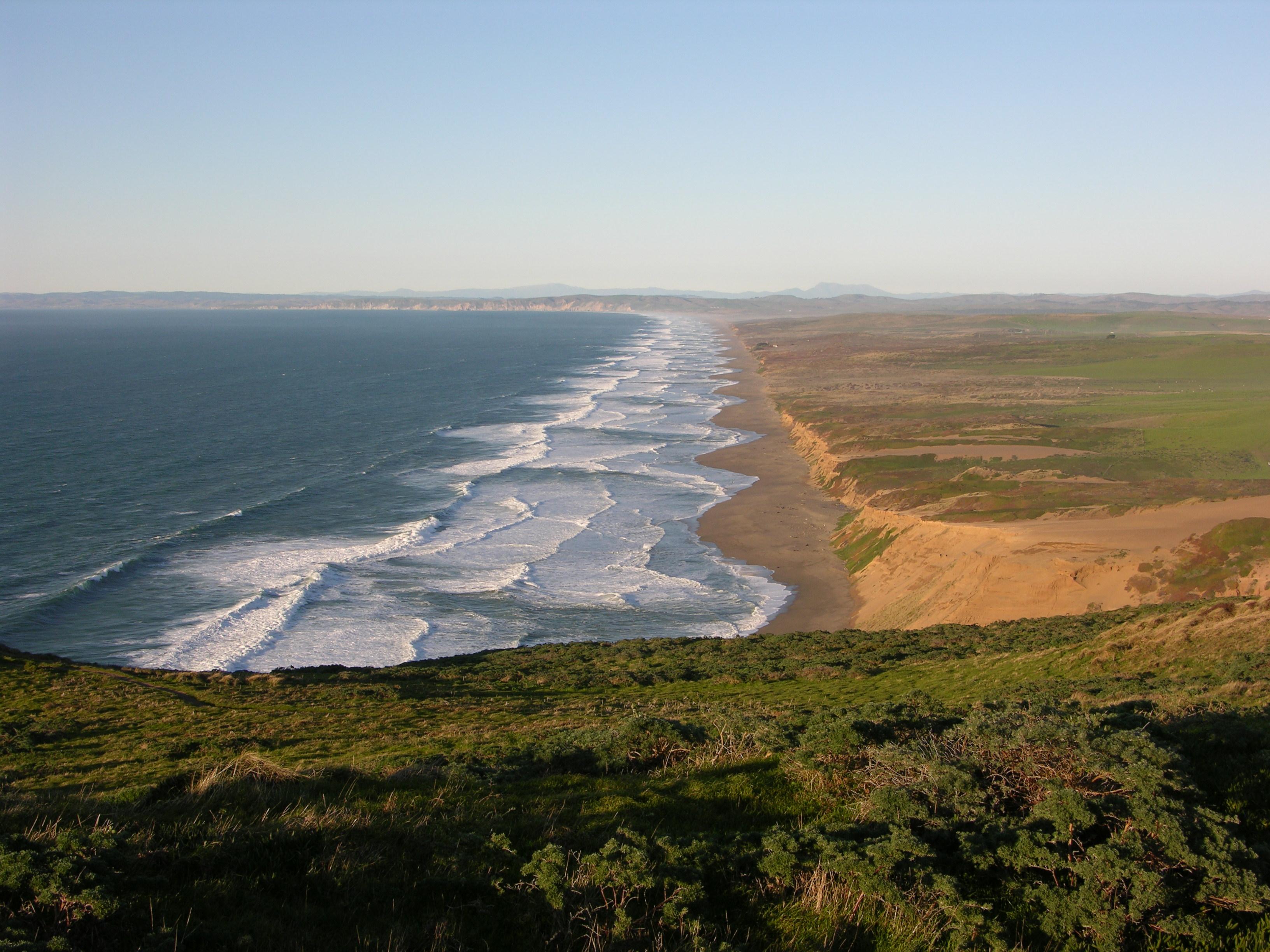
National Seashore
From its thunderous ocean breakers crashing against rocky headlands and expansive sand beaches to its open grasslands, brushy hillsides, and forested ridges, Point Reyes offers visitors over 1500 spec...

National Memorial
On July 17, 1944, a massive explosion jolted the San Francisco East Bay area, shattering windows and lighting up the night sky. At Port Chicago Naval Magazine, 320 men were killed instantly when two s...
Park data from the National Park Service API. Alerts update every 2 hours.
This drive is primarily on surface roads, with only 7% of the 274.8 miles on highways like the John T. Knox Freeway and Willits Bypass. You'll experience a long stretch of 245.2 miles on the Redwood Highway, which suggests a consistent, non-freeway driving experience for most of the trip. Expect to transition from more urban or suburban road conditions to more rural cruising as you head north.
Expect a hands-on drive with frequent turns and local roads rather than long highway stretches. This route has several spots where lane changes, forks, or exits need your full attention. The trickiest moment comes around 0.6 miles in.
High effort - long or complex enough to need steady focus all day
Balances navigation complexity with total wheel time.
This is a demanding drive. With 13 significant decision points across 274.8 miles, you will need to stay alert - especially through interchange areas and urban stretches. Consider splitting it into segments if you are not comfortable with fast highway navigation.
Where does it get tricky?
The main spots that need attention: at 0.6 miles: Multiple destination signs - pick the right one; at 1.2 miles: Exit ramp - move to the correct lane early. Lane positioning matters here. Multiple destination signs - pick the right one; at 1.5 miles: Highway fork - watch signs carefully. Lane positioning matters here. Multiple destination signs - pick the right one.
Gently rolling terrain
Total Climb
1,641 ft
Total Descent
1,639 ft
Highest Point
1,512 ft
~137.4 mi in
Elevation Range
1,507 ft
Founded 1852
Oakland is a port city in the Bay Area of California in the United States. Once an industrial area overshadowed by San Francisco, its larger neighbor to the west, this city of 440,000 people (2020) has begun to step out from under San Francisco's shadow with its notable natural and architectural features and its rise as the multicultural "hipster" city of the Bay Area.
Top landmarks
Founded 1850
Eureka is a city in Humboldt County, California. With a population of slightly over 25,000, it is the largest coastal city on the West Coast of the United States north of San Francisco and south of Portland and the center of the California North Coast (Redwood Coast). Eureka is Ancient Greek for "I have found it," and the city got its name as a hopeful statement made by miners during the California Gold Rush, but it was the timber industry that gave the town its early wealth. Now, with logging in decline, it retains the charm of that era with older Victorian buildings and the feel of an old-fashioned working town. Situated on the shores of Humboldt Bay, Eureka provides an urban environment in this rugged corner of California with a quaint but lively city center, thriving arts scene, and variety of shopping and dining options without the hectic rush of other major cities in the state.
Top landmarks
City content from Wikivoyage (CC BY-SA 4.0) and Wikidata (CC0).
Weekend Trip
Doable as a same-day drive at 5h 39m. Total distance: 274.8 miles.
Family Friendly
Moderate complexity with 1 natural rest stops along the way.
Solo Traveler
5h 39m drive, comfortable solo distance.
Scenic Drive
Mostly surface roads route profile with national parks nearby.
Compiled by the US Trip Planner planning team at COD Solutions Oy from open government datasets — OSRM over OpenStreetMap for geometry, EIA for fuel prices, USGS 3DEP for elevation, and NPS for national parks. See our methodology for refresh cadence and limitations.
Was this helpful?
Thanks for your feedback!
Your tip has been submitted. Thanks!
/500
Recent Tips
·
Explore more options from Oakland, CA or browse trips ending in Eureka, CA.
Looking for more statewide routes? Browse CA road trips.