Origin
Nutley, NJ
Morning in Nutley on Tuesday
Local time
6:50 AM
EDT
Current temp
62°F
Unavailable
Live forecast
Compiled and reviewed by the US Trip Planner planning team at COD Solutions Oy · Last reviewed Apr 21, 2026 · Editorial standards
Drive Time
1h 58m
Distance
89.7 mi
144 km
Drive Score
7/10
Good drive
Same Day?
Yes, doable
Fuel Cost
$15
one way
EV Charging
Unknown
Estimated drive times based on typical traffic patterns. Actual times may vary with weather, construction, and real-time conditions.

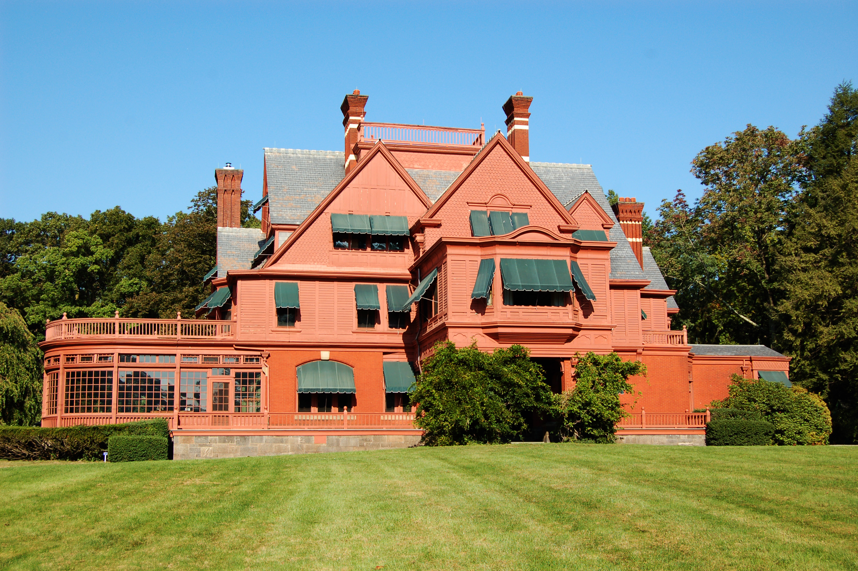
Nutley, NJ
Wikimedia Commons

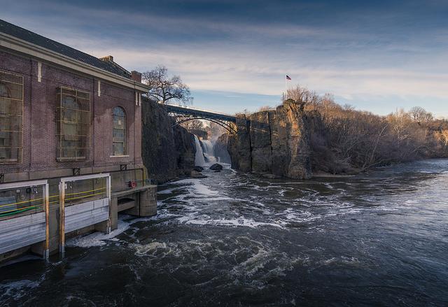
Camden, NJ
Wikimedia Commons
This 89.7-mile drive from Nutley, NJ, to Camden, NJ, is a straightforward trip that can easily be completed in under two hours. With a projected fuel cost of around $15, it's an economical option for a day trip, requiring no overnight stays. The route is heavily focused on highway driving, making it efficient for getting from point A to point B. You'll spend most of your time on the New Jersey Turnpike, which accounts for a significant portion of the journey. This is a practical, no-frills drive through the Northeast region of New Jersey.
Trip Pace
Same-day drive is realistic
A same-day return is realistic if you keep stops short.
Midpoint
44.9 miles from Nutley, NJ
A natural place for your longest stop of the day , about 1h 1m into the drive .
| Road | Distance | Duration |
|---|---|---|
| New Jersey Turnpike | 66.5 mi | 1h 17m |
| NJ 21 | 7.8 mi | 13m |
| Kaighns Avenue | 7.5 mi | 12m |
| US 1 | 1.7 mi | 2m |
| NJ 81 | 1.1 mi | 2m |
| Park Avenue | 0.8 mi | 1m |
| NJ 73 | 0.7 mi | 1m |
| NJ-73 | 0.6 mi | <1m |
Step-by-step road directions between Nutley, NJ and Camden, NJ.
Start on Hillside Avenue
Turn left onto Chestnut Street
Turn right onto Passaic Avenue
Turn left onto Park Avenue
Turn right onto CR 624
Take the ramp
Merge onto NJ 21
Merge onto US 1; US 9
Continue on US 1; US 9
Take the exit
Continue on NJ 81
Keep slight right at fork
Keep slight left at fork
Merge onto I 95; NJTP
Keep slight left at fork onto NJTP
Take the exit
Keep slight right at fork
Merge onto NJ 73
Continue on NJ-73
Take the exit
Merge onto NJ 38
Keep slight left at fork onto US 130
Turn slight right onto CR 607
Turn left onto CR 551
Arrive at destination
Given the short duration and modest fuel cost of approximately $15, this route offers plenty of flexibility. Consider departing mid-morning to avoid the heaviest commuter traffic, especially on the New Jersey Turnpike. While there are no mandated stops, you'll find ample service areas along the turnpike if you need a break. The longest uninterrupted stretch is 66.5 miles on the New Jersey Turnpike, so plan your refueling accordingly before you embark or be aware of service plazas. This trip is best tackled in a single day without the need to split it.
Morning Departure
Leave by 9 AM and you'll arrive before lunch.
Evening Departure
Even a 4 PM departure gets you there before dark in summer.
This is a comfortable same-day trip.
Departure
Before you leave
Start with fuel, water, and navigation already sorted so the first hour feels easy.
First stop
Around 20 miles or 32m in
Use this first pause for coffee, a restroom break, and a quick traffic check ahead.
Halfway reset
Around 44.9 miles or 1h 1m in
This is the best place for your longest stop, a real meal, and a full fuel check.
Final approach
Final hour starts around 1h 37m
Traffic, exits, and arrival timing usually matter more near Camden, NJ than in the middle of the route.
Open the route before leaving Nutley, NJ so your first major turns are already loaded.
Day 1
Settle into the route from Nutley, NJ
This is one driving day of about 89.7 miles and 1h 58m.
Rest stops, refuel points, and overnight suggestions along this route.

Mid-route town
Meal stop
45 mi into the route
Best for: Lunch, fuel, and a longer reset
This sits close to the middle of the route, so it works well for the longest stop of the day.
A short stop after about 20 miles helps settle the day before fatigue starts building.
The midpoint is around 44.9 miles from Nutley, NJ, which is a good place for a longer meal and fuel stop.
Before the longest stretch
Fuel checkTop up before New Jersey Turnpike if your tank is already low. That segment runs about 66.5 miles.
These stop ideas are pacing suggestions — the exact town or exit can change with traffic, hotel plans, and fuel range.
5 decision points cluster between mile 12.7 and 87.4 — GPS handles the exact turns, but know they're coming. Your lane choice matters more than the turn itself.
Keep slight right at fork toward I 95 South, NJTP South: Trenton
Highway fork - watch signs carefully. Lane positioning matters here. Multiple destination signs - pick the right one
Keep slight left at fork toward I 95 South, NJTP South: Trenton
Highway fork - watch signs carefully. Multiple destination signs - pick the right one
Keep slight left at fork onto NJTP / New Jersey Turnpike toward NJTP South: Camden, Wilmington
Highway fork - watch signs carefully. Multiple destination signs - pick the right one
Keep slight right at fork toward NJ 73 North: Camden
Highway fork - watch signs carefully. Lane positioning matters here
Keep slight left at fork onto US 130 / South Crescent Boulevard toward US 130 South, US 30 East
Highway fork - watch signs carefully. Multiple destination signs - pick the right one
Regular Gas
$14.87 one way
$29.74 round trip
| Fuel Type | $/gal | One Way | Round Trip |
|---|---|---|---|
| midgrade | $4.61 | $16.29 | $32.57 |
| premium | $4.93 | $17.40 | $34.79 |
| diesel | $5.61 | $19.80 | $39.61 |
Estimated Tolls: $9.31
Toll estimates based on average 2024-2025 rates. EZ-Pass/SunPass discounts may lower the actual cost.
Estimated Trip Cost (one way, 1 person)
Fuel
$15
Tolls
$9
Meals
$25–$50
Total
$49–$74
Rough estimate based on US averages. Hotel $80–$140/night, meals $25–$50/day.
Estimated CO2 emission: 31.4 kg one way. Prices: EIA weekly data, 2026-04-13.
Driving Electric?
About $9 in charging · 0 stops · 68% less CO2
| Vehicle Type | kWh | Stops | DC Fast | Home Charge |
|---|---|---|---|---|
| Average EV | 26.9 | 0 | $9.42 | $4.31 |
| Efficient EV | 22.4 | 0 | $7.85 | $3.59 |
| EV Truck/SUV | 35.9 | 0 | $12.56 | $5.74 |
Gas CO2
31 kg
EV CO2
10 kg (68% less)
This trip is well within single-charge range for most EVs. No charging stops needed if you start fully charged.
DC fast charging avg $0.35/kWh. Home charging avg $0.16/kWh. US grid CO2: 0.39 kg/kWh.
Current conditions at both ends of the drive.
Origin
Morning in Nutley on Tuesday
Local time
6:50 AM
EDT
Current temp
62°F
Unavailable
Destination
Morning in Camden on Tuesday
Local time
6:50 AM
EDT
Current temp
88°F
Mostly Sunny
61°F
Manalapan, NJ
45 mi in
Seasonal Notes
Summer travel usually means heavier construction, hotter rest stops, and busier weekend traffic around major cities.
Winter travel shortens daylight, so a route that looks manageable on paper can feel much longer after dark.
Holiday weekends tend to make both departure and arrival windows slower than the raw route time suggests.
Time zone
Origin and destination are on the same clock, so arrival timing is easier to judge at a glance.
Temperature spread
A meaningful temperature swing is a good cue to rethink layers, water, and how soon you want to arrive.
Road read
The weather snapshot is not static. If you are leaving later, give both cities one more quick forecast check before departure.
Weather data from the National Weather Service. Conditions may change; check closer to your travel date.
Worth a detour if your schedule allows.
National Historical Park
Today, the brick buildings on Main Street in West Orange, NJ seem quiet, betraying little evidence of the research, development, and innovation of their heyday. Visitors can step back in time to Thoma...
National Historical Park
Silk cloth and steam locomotives; textiles and continuous paper rolls; firearms and aircraft engines. What do these things have in common? All were manufactured in the same place - Paterson, NJ. In 17...

National Recreation Area
Spanning 27,000 acres from Sandy Hook in New Jersey to Breezy Point in New York City, the park is both the gateway from the ocean into New York Harbor, and the gateway to the National Park Service for...
National Historical Park
Morristown National Historical Park commemorates the sites of General Washington and the Continental Army’s winter encampment from December 1779 to June 1780, where soldiers survived the coldest winte...
Park data from the National Park Service API. Alerts update every 2 hours.
Expect a highway-centric experience for this 1h 58m journey, with 87% of the drive on major roadways. The bulk of your travel will be on the New Jersey Turnpike, including a continuous stretch of 66.5 miles. You'll also navigate NJ 21 and Kaighns Avenue as you approach your destination. While primarily a highway-focused drive, be prepared for transitions as you exit the turnpike and enter more urban settings in Camden. The character is predominantly one of efficient travel on well-traveled infrastructure.
This is a straightforward highway drive that stays mostly on New Jersey Turnpike and NJ 21. This route has several spots where lane changes, forks, or exits need your full attention. The trickiest moment comes around 12.7 miles in.
Demanding - stay alert through the decision-heavy sections
Balances navigation complexity with total wheel time.
This drive requires moderate attention. Across 89.7 miles you will encounter 19 spots where lane choice or exit timing matters. Not difficult for experienced highway drivers, but worth previewing the tricky sections before you go.
Where does it get tricky?
The main spots that need attention: at 12.7 miles: Highway fork - watch signs carefully. Lane positioning matters here. Multiple destination signs - pick the right one; at 12.7 miles: Highway fork - watch signs carefully. Multiple destination signs - pick the right one; at 62.8 miles (NJTP / New Jersey Turnpike): Highway fork - watch signs carefully. Multiple destination signs - pick the right one.
Based on OSRM destination-sign hints, not a full list of every settlement the road passes.
Between Nutley, NJ and Camden, NJ, road signs point toward Njtp South: Trenton, Njtp South: Camden and Wilmington.
Njtp South: Trenton
Njtp South: Camden
Wilmington
Nutley is a town of 27,000 in Essex County, in Northern New Jersey.
Camden is a city in Camden County, New Jersey, across the Delaware River from Philadelphia. Camden is a former industrial boom-town that has fallen onto hard times. Decades of disinvestment and government mismanagement have contributed to Camden's sky-high crime rate, and many of the city's neighborhoods are hotbeds of gang- and drug-related violence. However, the government has begun developing the Delaware River waterfront, which is now a popular and well-traveled tourist destination offering grand views of the Philadelphia skyline and a multitude of activities for adults and children. Headlines about violence and crime in Camden may dissuade many tourists to the Philadelphia area from visiting, but a one-day trip to the waterfront may be well worth the trip.
City content from Wikivoyage (CC BY-SA 4.0) and Wikidata (CC0).
Weekend Trip
Doable as a same-day drive at 1h 58m. Total distance: 89.7 miles.
Family Friendly
Moderate complexity with 0 natural rest stops along the way.
Solo Traveler
1h 58m drive, comfortable solo distance.
First-Time Driver
Mostly highway driving (87%). Some complex stretches to watch for.
Compiled by the US Trip Planner planning team at COD Solutions Oy from open government datasets — OSRM over OpenStreetMap for geometry, EIA for fuel prices, and NPS for national parks. See our methodology for refresh cadence and limitations.
Was this helpful?
Thanks for your feedback!
Your tip has been submitted. Thanks!
/500
Recent Tips
·
Explore more options from Nutley, NJ or browse trips ending in Camden, NJ.
Looking for more statewide routes? Browse NJ road trips.