Monroe, LA to Mandeville, LA is 248.2 miles and takes about 4h 45m via US 425 and I-55, with a fuel budget near $37 and enough daylight to finish in a day. This trip stays within Louisiana, moving from the Southeast region to the Southeast region. With 97% of this drive on highways, expect a straightforward trip that's mostly cruising on major roads. It's a practical choice if you're looking for a direct connection between these two points in the state without extensive planning.
Trip Pace
Same-day drive is realistic
A same-day return is possible, but it will make for a full day on the road.
Break Rhythm
1 planned break
Plan on a short reset every 3 to 4 hours to stay fresh behind the wheel.
Midpoint
124.1 miles from Monroe, LA
A natural place for your longest stop of the day
, about 2h 25m into the drive
.
Main Roads
Road
Distance
Duration
US 425
74.1 mi
1h 25m
I 55
43.2 mi
46m
US 98
43.2 mi
48m
US 84
28.3 mi
32m
West Florida Republic Parkway
24.3 mi
25m
I 20
20.3 mi
22m
US 61
3.3 mi
3m
US 190
2.1 mi
2m
Longest stretch:
US 425
— 74.1 mi, about 1h 25m
Traffic on I-55
Hour-of-day weekday pattern from 4 FHWA count stations on your route.
Peak
3 PM
~598 veh/hr typical
· worst 874
Quietest
1 AM
~82 veh/hr
Peak-to-quiet ratio
7.3×
busier at peak than in the quiet hours
12a6anoon6p11p
Averaged across 44 weeks of 2023 FHWA Travel Monitoring Analysis System data. Weekday hours only (Mon–Fri).
Turn-by-Turn Driving Directions
Step-by-step road directions between Monroe, LA and Mandeville, LA.
1
Start on this road
38 ft·7 sec·this road
2
Turn left
45 ft·5 sec
3
Turn right onto US 80; LA 15
265 ft·8 sec·Louisville Avenue
4
Turn right onto US 165 Business; LA 15
0.2 mi·18 sec·North 5th Street
5
Continue on US 165 Business; LA 15
458 ft·7 sec·North 5th Street
6
Continue on US 165 Business; LA 15
0.7 mi·1 min·Lea Joyner Memorial Expressway
7
Take the ramp
0.2 mi·22 sec
8
Merge onto I 20
20 mi·22 min·I 20
9
Take the exit
0.3 mi·41 sec
Toward US 425: Rayville, Archibald
10
Turn right onto US 425
74 mi·1 hr 25 min·US 425
11
Turn left onto South Canal Street
0.7 mi·1 min·South Canal Street
12
Turn right onto State Street
0.4 mi·54 sec·State Street
13
Turn left onto South Martin Luther King Jr Street
0.2 mi·20 sec·South Martin Luther King Jr Street
14
Turn right onto East Franklin Street
0.8 mi·1 min·East Franklin Street
15
Turn slight left onto Devereaux Drive
1.1 mi·1 min·Devereaux Drive
16
Take the ramp onto Devereaux Drive
0.1 mi·19 sec·Devereaux Drive
17
Merge onto US 61; US 84
3.3 mi·3 min·US 61; US 84
18
Take the exit onto US 84
28 mi·32 min·US 84
19
Take the exit
0.3 mi·39 sec
20
Keep slight left at fork
167 ft·4 sec
21
Turn right onto US 98; MS 184
0.6 mi·43 sec·US 98; MS 184
22
Turn right onto US 98
29 mi·32 min·US 98
23
Take the exit onto US 98
14 mi·14 min·US 98
24
Continue on I 55
43 mi·46 min·I 55
25
Take the exit
0.2 mi·27 sec
Exit 29AToward I 12 East: Slidell
26
Merge onto I 12
24 mi·25 min·West Florida Republic Parkway
Use the straight / slight right lanes.
27
Take the exit
0.3 mi·41 sec
Toward US 190: Covington, Mandeville
28
Keep slight right at fork
0.4 mi·51 sec
Toward US 190 East: Mandeville
29
Merge onto US 190
1.8 mi·2 min·US 190
30
Take the exit onto US 190
0.3 mi·40 sec·US 190
Toward US 190 East, LA 22 West: Mandeville, PonchatoulaUse the straight / slight right lanes.
31
Keep slight left at fork onto US 190
209 ft·7 sec·US 190
Toward US 190 East: Mandeville, Fontainebleau State Park
32
Turn left onto US 190
1.3 mi·2 min·Highway 190
Use the left / straight lanes.
33
Continue on US 190
0.3 mi·28 sec·Emerald Road
34
Continue on US 190
0.4 mi·33 sec·Highway 190
35
Continue on US 190
1.0 mi·1 min·Florida Street
36
Turn right onto LA 1087
0.4 mi·1 min·Girod Street
37
Turn right onto LA 1087
160 ft·4 sec·Monroe Street
38
Arrive at destination
LA 1087
Trip Plan
This 4h 45m drive is easily manageable in a single day, so you can leave whenever you're ready. Consider an early start to maximize your daylight hours. With only one recommended stop and a fuel cost around $37, you won't need to plan extensively for breaks or refueling. Keep an eye out for the transition points between US 425 and I-55, as this is where the driving environment will change the most.
Morning Departure
An early start around 7-8 AM gets you there with plenty of daylight left.
Evening Departure
A late afternoon start means arriving after dark. Morning is better.
You can normally do this drive in one day.
Plan roughly 1 meaningful break for fuel, food, and rest.
The halfway point lands around 124.1 miles from Monroe, LA, or about 2h 25m into the drive.
The longest continuous stretch on this route runs about 74.1 miles.
This is a comfortable same-day trip.
Departure
Before you leave
Start with fuel, water, and navigation already sorted so the first hour feels easy.
First stop
Around 55 miles or 1h 3m in
Use this first pause for coffee, a restroom break, and a quick traffic check ahead.
Halfway reset
Around 124.1 miles or 2h 25m in
This is the best place for your longest stop, a real meal, and a full fuel check.
Final approach
Final hour starts around 3h 54m
Traffic, exits, and arrival timing usually matter more near Mandeville, LA than in the middle of the route.
Before You Leave
+
Open the route before leaving Monroe, LA so your first major turns are already loaded.
+
Leave with enough water and a charging cable within reach, not packed away.
+
Check your fuel range against the first long segment, especially if you are starting outside city service areas.
Day 1
Settle into the route from Monroe, LA
This is one driving day of about 248.2 miles and 4h 45m.
Your first comfortable stop window is around 55 miles from Monroe, LA.
This route can stay practical as a one-day drive if traffic stays reasonable.
Plan about 1 real break rather than only quick fuel stops.
The longest stretch is on US 425 for about 74.1 miles.
Where to Stop
Rest stops, refuel points, and overnight suggestions along this route.
Place data sourced from public business listings. Hours and availability may vary.
Heads-up: tricky spots
5 of 27
5 decision points cluster between mile 0.1 and 244.8 — GPS handles the exact turns, but know they're coming. Your lane choice matters more than the turn itself.
5
0.1 mi into trip|~0m in|US 165 Business; LA 15 / North 5th Street
Turn right onto US 165 Business; LA 15 / North 5th Street
Navigation decision point
5
21.5 mi into trip|~24m in
Take the exit toward US 425: Rayville, Archibald
Exit ramp - move to the correct lane early. Multiple destination signs - pick the right one
Toward US 425: Rayville, Archibald
5
131.2 mi into trip|~2h 34m in
Keep slight left at fork
Highway fork - watch signs carefully
7
244.5 mi into trip|~4h 39m in|US 190
Take the exit onto US 190 toward US 190 East, LA 22 West: Mandeville, Ponchatoula
Exit ramp - move to the correct lane early. Lane positioning matters here. Multiple destination signs - pick the right one
Use the straight / slight right lanes.
Toward US 190 East, LA 22 West: Mandeville, Pon...
6
244.8 mi into trip|~4h 39m in|US 190
Keep slight left at fork onto US 190 toward US 190 East: Mandeville, Fontainebleau State Park
Highway fork - watch signs carefully. Multiple destination signs - pick the right one
Toward US 190 East: Mandeville, Fontainebleau S...
Fuel & Cost
Regular Gas
$34.45 one way
$68.91 round trip
$3.53/gal25.4 MPG avg87 kg CO2
Fuel Type
$/gal
One Way
Round Trip
midgrade
$3.95
$38.55
$77.10
premium
$4.29
$41.91
$83.82
diesel
$4.80
$46.86
$93.73
No toll roads detected on this route.
Estimated Trip Cost (one way, 1 person)
Fuel
$34
Meals
$25–$50
Total
$59–$84
Rough estimate based on US averages. Hotel $80–$140/night, meals $25–$50/day.
Estimated CO2 emission: 86.8 kg one way.
Prices: EIA weekly data, 2026-07-13.
Driving Electric?
About $26 in charging
· 0 stops
· 67% less CO2
Vehicle Type
kWh
Stops
DC Fast
Home Charge
Average EV
74.5
0
$26.06
$11.91
Efficient EV
62.1
0
$21.72
$9.93
EV Truck/SUV
99.3
1
$34.75
$15.88
Gas CO2
87 kg
EV CO2
29 kg (67% less)
Plan for 0 charging stops, roughly every 270 miles. Allow 25-40 minutes per stop at a DC fast charger.
DC fast charging avg $0.35/kWh. Home charging avg $0.16/kWh. US grid CO2: 0.39 kg/kWh.
Travel Intel
Current conditions at both ends of the drive.
Forecast as of Jul 18, 2026
Origin
Monroe, LA
Late night
in Monroe on Sunday
Local time
5:23 AM
CDT
Current temp
77°F
Partly Cloudy
SW 5 mph1% chanceLive forecast
Heat Advisory
Heat Advisory issued July 18 at 1:20AM CDT until July 18 at 6:00PM CDT by NWS New Orleans LA
Heat Advisory
Heat Advisory issued July 17 at 11:57PM CDT until July 20 at 7:00PM CDT by NWS Jackson MS
Destination
Mandeville, LA
Late night
in Mandeville on Sunday
Local time
5:23 AM
CDT
Current temp
93°F
Sunny
NW 5 to 10 mph4% chanceLive forecast
Heat Advisory
Heat Advisory issued July 18 at 1:20AM CDT until July 18 at 6:00PM CDT by NWS New Orleans LA
Heat Advisory
Heat Advisory issued July 17 at 11:57PM CDT until July 20 at 7:00PM CDT by NWS Jackson MS
Seasonal Notes
Summer travel usually means heavier construction, hotter rest stops, and busier weekend traffic around major cities.
Winter travel shortens daylight, so a route that looks manageable on paper can feel much longer after dark.
Holiday weekends tend to make both departure and arrival windows slower than the raw route time suggests.
Time zone
Same local time
Origin and destination are on the same clock, so arrival timing is easier to judge at a glance.
Temperature spread
16 degrees warmer at arrival
A meaningful temperature swing is a good cue to rethink layers, water, and how soon you want to arrive.
Road read
4h 45m on the road
An early start around 7-8 AM gets you there with plenty of daylight left.
Weather data from the National Weather Service. Conditions may change; check closer to your travel date.
National Parks Near This Route
Worth a detour if your schedule allows.
New Orleans Jazz National Historical Park
National Historical Park
Discover the roots of jazz at the New Orleans Jazz National Historical Park. Located in the heart of the French Quarter, our park offers live performances, exhibits, and programs that celebrate the le...
27 mi from route
~68 min detour
Free
near mile 248.2
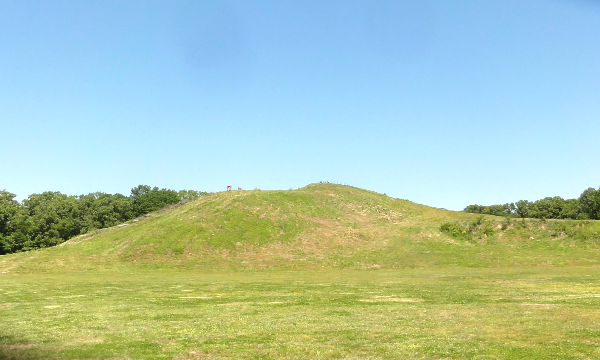
Now a nearly forgotten culture, Poverty Point at its peak 3,000 years ago was part of an enormous trading network that stretched for hundreds of miles across the continent. It was - and is - also an e...
27 mi from route
~67 min detour
Free
near mile 25.7
Park data from the National Park Service API. Alerts update every 2 hours.
More Details
What kind of drive is this?
You'll spend most of your time on highways, with 97% of the 248.2 miles on them. The longest stretch without a significant change in road type is 74.1 miles on US 425. Expect to encounter a lot of exits and merges as you transition between US 425 and I-55. The remaining 3% of the drive will be on surface roads as you approach your destination.
97% highway — fuel and pacing are the main things to plan.
38 navigation steps total — most of the decisions cluster near the start and finish.
Longest single stretch: 74.1 mi on US 425.
How Hard Is This Drive?
10/10
This is a straightforward highway drive that stays mostly on US 425 and I 55. This route has several spots where lane changes, forks, or exits need your full attention. The trickiest moment comes around 0.1 miles in near US 165 Business; LA 15 / North 5th Street.
Driving Effort10/10
High effort - long or complex enough to need steady focus all day
Balances navigation complexity with total wheel time.
This is a demanding drive. With 27 significant decision points across 248.2 miles, you will need to stay alert - especially through interchange areas and urban stretches. Consider splitting it into segments if you are not comfortable with fast highway navigation.
Where does it get tricky?
The main spots that need attention: at 0.1 miles (US 165 Business; LA 15 / North 5th Street): Navigation decision point; at 21.5 miles: Exit ramp - move to the correct lane early. Multiple destination signs - pick the right one; at 131.2 miles: Highway fork - watch signs carefully.
Elevation Profile
Mostly flat terrain
468 ft8 ft
Total Climb
437 ft
Total Descent
505 ft
Highest Point
468 ft
~141.8 mi in
Elevation Range
460 ft
Towns Mentioned on Route Signs
Based on OSRM destination-sign hints, not a full list of every settlement the road passes.
On the drive from Monroe, LA to Mandeville, LA, road signs begin pointing toward Archibald along the way.
Monroe is the third-largest city in Northern Louisiana, largest city in Northeast Louisiana, and the parish seat of Ouachita Parish. It is also home to the University of Louisiana at Monroe and their sports team, the ULM Warhawks.
Founded as Fort Miro, it took on the name of Monroe after the paddle-wheeler James Monroe that came to town in the early 19th century, and, by extrapolation, the former president James Monroe. An interesting bit of trivia is that Monroe was once the headquarters of Delta Airlines, which got its start as the crop dusting operation Delta Dusters in nearby Tallulah.
Slathered down with highly religious views and the effects of years of racial inequality, Monroe can have a rather gritty appearance imbued with a fragrant aroma from its paper mill, but, well, take heart, Wikivoyage traveler.
Top landmarks
•Neville High School — high school in Louisiana, United States
•Bright-Lamkin-Easterling House — historic house in Monroe, Louisiana, United States
•Bynum House — historic house in Monroe, Louisiana, United States
Doable as a same-day drive at 4h 45m. Total distance: 248.2 miles.
Family Friendly
Moderate complexity with 1 natural rest stops along the way.
Solo Traveler
4h 45m drive, comfortable solo distance.
First-Time Driver
Mostly highway driving (97%). Some complex stretches to watch for.
Frequently Asked Questions
The longest stretch is about 74.1 miles on US 425. The full list of main roads is in the Roads section above.
Yes — we found about 5 rest areas or service plazas within a short detour of the route (from OpenStreetMap). See the Rest Stops tab under Nearby Places for locations and mile markers. Plan to stretch, use the bathroom, and top off fluids every 2–3 hours on longer drives.
It helps. This route has a higher-than-average number of complex decision points, which get harder in the dark. If the last hour of the trip is on surface roads or mountain grades, aim to arrive at Mandeville, LA before sunset when you can. Check the Trip Plan for departure windows that land you in daylight.
Only with planning. This is a long drive for kids — consider splitting it into two days rather than pushing through. Plan at least 1 meaningful breaks. There are 5 rest areas along the route for bathroom stops.
The main spots that need attention: at 0.1 miles (US 165 Business; LA 15 / North 5th Street): Navigation decision point; at 21.5 miles: Exit ramp - move to the correct lane early. Multiple destination signs - pick the right one; at 131.2 miles: Highway fork - watch signs carefully.
Yes — New Orleans Jazz National Historical Park and Poverty Point National Monument. See the National Parks section for detour distances and tips on detours.
Possible but tiring. At 4.8 hours each way, an in-and-out day trip would put you behind the wheel for 9.5 hours — manageable with a long break at Mandeville, LA, but most travelers stay overnight.