This 491.1-mile journey from Gruver, TX to El Paso, TX is estimated to take around 8 hours and 18 minutes of driving time. With a fuel cost estimated at $75, this route is best tackled over two recommended days, allowing for two planned stops along the way. The drive primarily utilizes local roads, indicated by its turn-heavy profile and 0% highway share, suggesting a more intimate experience with the Texas landscape. You'll be traveling within the Great Plains region for the entirety of this trip, experiencing a consistent, familiar environment. This isn't a quick day trip; planning for an overnight break is advisable to fully enjoy the drive without feeling rushed.
Trip Pace
Best split across 2 days
Treat the return leg as its own travel day rather than an afterthought.
Break Rhythm
2 planned breaks
Plan on a short reset every 3 to 4 hours to stay fresh behind the wheel.
Midpoint
245.2 miles from Gruver, TX
A natural place for your longest stop of the day
, about 4h 38m into the drive
.
Main Roads
Road
Distance
Duration
US 54
95 mi
2h 15m
US Highway 54
66.7 mi
1h 26m
I 40
58.2 mi
58m
Bell Street
52.8 mi
1h
Central Avenue
43.8 mi
51m
West 7th Street
40.8 mi
41m
TX 15
39.1 mi
49m
US Highway 54 South
34.8 mi
37m
Longest stretch:
US 54
— 95 mi, about 2h 15m
Turn-by-Turn Driving Directions
Step-by-step road directions between Gruver, TX and El Paso, TX.
1
Start on Loop 84
45 ft·3 sec·East 4th Street
2
Turn right onto TX 136
0.3 mi·36 sec·Main Avenue
3
Turn left onto TX 15; TX 136
11 mi·11 min·TX 15; TX 136
4
Keep slight right at fork onto TX 15
28 mi·37 min·TX 15
5
At end of road, turn right onto US 287
0.4 mi·31 sec·US 287
6
Turn left onto US 54
31 mi·33 min·Texas Street
7
Continue on US 54
0.4 mi·29 sec·Denver Avenue
8
Turn right onto US 54
41 mi·41 min·West 7th Street
9
Continue on US 54
53 mi·1 hr·Bell Street
10
Take the exit onto US 54
0.5 mi·59 sec·US 54
11
Merge onto I 40
58 mi·58 min·I 40
12
Take the exit
0.2 mi·32 sec
Toward Santa Rosa
13
Keep slight right at fork
321 ft·7 sec
Toward Santa Rosa
14
Turn straight onto I 40 Bus; US 54; US 84
1.3 mi·2 min·Historic Route 66
15
Turn left onto US 54
38 mi·56 min·US Highway 54
16
Continue on US 54; US 60; US 285
3.9 mi·4 min·8th Street
17
Turn left onto US 54
78 mi·1 hr 52 min·US 54
18
Continue on US 54
44 mi·51 min·Central Avenue
19
Take the ramp onto US 54
9.8 mi·12 min·Saint Francis Drive
20
Take the exit onto US 54; US 70
4.9 mi·7 min·US 54; US 70
21
Take the exit onto US 70
0.3 mi·1 min·US 70
22
Turn left onto US Highway 54 South
35 mi·37 min·US Highway 54 South
23
Continue on US 54
0.8 mi·1 min·Main Street
24
Continue on US 54
29 mi·30 min·US Highway 54
25
Continue on US 54
7.6 mi·9 min·Gateway South Boulevard
26
Keep slight left at fork onto US 54
12 mi·14 min·US 54
Use the straight / slight right lanes.
27
Take the exit
0.2 mi·30 sec
Exit 20AToward US 62: Paisano DriveUse the slight right lane.
28
Turn right onto US 62
2.6 mi·4 min·East Paisano Drive
29
Turn right onto South Mesa Street
0.2 mi·21 sec·South Mesa Street
30
Arrive at destination
North Mesa Street
Trip Plan
To make the most of this 8-hour and 18-minute drive, consider departing early in the morning to maximize daylight hours. Given the turn-heavy nature and the 491.1-mile distance, splitting this trip into two days is highly recommended, with two stops planned. This allows for a more relaxed pace and time to refuel and rest. Keep an eye on your navigation system, as the local road focus means you'll be relying heavily on directions to stay on track. The estimated $75 fuel cost is a good baseline, but always factor in a buffer for unexpected detours or local attractions you might discover.
Morning Departure
Start early — leave by 6-7 AM to arrive at a reasonable hour.
Evening Departure
This is a long drive — plan for a morning departure or consider splitting it into two days.
This drive is better paced as a 2-day trip.
Plan roughly 2 meaningful breaks for fuel, food, and rest.
The halfway point lands around 245.2 miles from Gruver, TX, or about 4h 38m into the drive.
The longest continuous stretch on this route runs about 95 miles.
Consider an overnight stop or starting very early.
Departure
Before you leave
Start with fuel, water, and navigation already sorted so the first hour feels easy.
First stop
Around 108 miles or 2h 1m in
Use this first pause for coffee, a restroom break, and a quick traffic check ahead.
Halfway reset
Around 245.2 miles or 4h 38m in
This is the best place for your longest stop, a real meal, and a full fuel check.
Overnight split
Day 1 wrap after about 245.2 miles or 4h 38m
Stop before fatigue turns the last few hours into a grind. You want day two to start fresh, not just resumed.
Final approach
Final hour starts around 8h 43m
Traffic, exits, and arrival timing usually matter more near El Paso, TX than in the middle of the route.
Before You Leave
+
Open the route before leaving Gruver, TX so your first major turns are already loaded.
+
Leave with enough water and a charging cable within reach, not packed away.
+
Check your fuel range against the first long segment, especially if you are starting outside city service areas.
+
Pick one backup stop option before the midpoint in case traffic changes your pacing.
+
Treat this as a 2-day road trip and book the overnight stop before the busiest arrival window.
Day 1
Settle into the route from Gruver, TX
Aim for roughly 245 miles and 4.9 hours of wheel time on this day.
Day 2
Finish the approach into El Paso, TX
Aim for roughly 245 miles and 4.9 hours of wheel time on this day.
Your first comfortable stop window is around 108 miles from Gruver, TX.
This route usually feels better as a 2-day drive than as one long push.
Plan about 2 real breaks rather than only quick fuel stops.
The longest stretch is on US 54 for about 95 miles.
Where to Stop
Rest stops, refuel points, and overnight suggestions along this route.
Place data sourced from public business listings. Hours and availability may vary.
Heads-up: tricky spots
5 of 17
5 decision points cluster between mile 0 and 487.5 — GPS handles the exact turns, but know they're coming. Your lane choice matters more than the turn itself.
5
0 mi into trip|~0m in|TX 136 / Main Avenue
Turn right onto TX 136 / Main Avenue
Navigation decision point
4
11.2 mi into trip|~12m in|TX 15
Keep slight right at fork onto TX 15
Highway fork - watch signs carefully
6
223.7 mi into trip|~4h 5m in
Keep slight right at fork toward Santa Rosa
Highway fork - watch signs carefully
Toward Santa Rosa
6
475.9 mi into trip|~9h 33m in|US 54
Keep slight left at fork onto US 54
Highway fork - watch signs carefully. Lane positioning matters here
Use the straight / slight right lanes.
7
487.5 mi into trip|~9h 48m in
Take the exit toward US 62: Paisano Drive
Exit ramp - move to the correct lane early. Lane positioning matters here
Use the slight right lane.
Exit 20A
Toward US 62: Paisano Drive
Fuel & Cost
Regular Gas
$67.18 one way
$134.37 round trip
$3.48/gal25.4 MPG avg172 kg CO2
Fuel Type
$/gal
One Way
Round Trip
midgrade
$3.89
$75.04
$150.09
premium
$4.23
$81.59
$163.18
diesel
$4.80
$92.62
$185.23
No toll roads detected on this route.
Estimated Trip Cost (one way, 1 person)
Fuel
$67
Hotel (1n)
$80–$140
Meals
$50–$100
Total
$197–$307
Rough estimate based on US averages. Hotel $80–$140/night, meals $25–$50/day.
Estimated CO2 emission: 171.6 kg one way.
Prices: EIA weekly data, 2026-07-13.
Driving Electric?
About $52 in charging
· 1 stop
· 67% less CO2
Vehicle Type
kWh
Stops
DC Fast
Home Charge
Average EV
147.2
1
$51.50
$23.54
Efficient EV
122.6
1
$42.92
$19.62
EV Truck/SUV
196.2
2
$68.67
$31.39
Gas CO2
172 kg
EV CO2
57 kg (67% less)
Plan for 1 charging stop. A 30-minute DC fast charge mid-route should be enough to complete the trip comfortably.
DC fast charging avg $0.35/kWh. Home charging avg $0.16/kWh. US grid CO2: 0.39 kg/kWh.
Travel Intel
Current conditions at both ends of the drive.
Forecast as of Jul 16, 2026
Origin
Gruver, TX
Late night
in Gruver on Sunday
Local time
2:08 AM
CDT
Current temp
64°F
Mostly Clear
SSE 10 to 15 mph4% chanceLive forecast
Special Weather Statement
Special Weather Statement issued July 16 at 5:35PM CDT by NWS Shreveport LA
Special Weather Statement
Special Weather Statement issued July 16 at 5:31PM CDT by NWS Shreveport LA
Destination
El Paso, TX
Late night
in El Paso on Sunday
Local time
1:08 AM
MDT
Current temp
93°F
Slight Chance Showers And Thunderstorms
ESE 7 mph16% chanceLive forecast
Special Weather Statement
Special Weather Statement issued July 16 at 5:35PM CDT by NWS Shreveport LA
Special Weather Statement
Special Weather Statement issued July 16 at 5:31PM CDT by NWS Shreveport LA
60°F
Edgewood, NM
245 mi in
Seasonal Notes
Summer travel usually means heavier construction, hotter rest stops, and busier weekend traffic around major cities.
Winter travel shortens daylight, so a route that looks manageable on paper can feel much longer after dark.
Holiday weekends tend to make both departure and arrival windows slower than the raw route time suggests.
For long drives, weather on day two can matter just as much as conditions at departure, so check the whole travel window rather than only the first day.
Time zone
1 hour earlier
The destination clock does not match departure time, so double-check hotel check-in windows and late arrival plans.
Temperature spread
29 degrees warmer at arrival
A meaningful temperature swing is a good cue to rethink layers, water, and how soon you want to arrive.
Road read
9h 53m on the road
This is long enough that the arrival forecast matters almost as much as departure conditions. Recheck both ends before you roll.
Weather data from the National Weather Service. Conditions may change; check closer to your travel date.
National Parks Near This Route
Worth a detour if your schedule allows.
Chamizal National Memorial
National Memorial
Chamizal is more than just an urban park to recreate or enjoy a quiet afternoon. These grounds are a reminder of the harmonious settlement of a 100-year boundary dispute between the United States and...
2 mi from route
~5 min detour
Free
near mile 490.5
Park data from the National Park Service API. Alerts update every 2 hours.
More Details
What kind of drive is this?
Expect a turn-heavy local drive for the entire 491.1 miles from Gruver to El Paso. With a 0% highway share, this route is all about navigating through local streets and connecting roads, using Main Avenue, Texas Street, and Denver Avenue as key segments. There's no mention of a longest uninterrupted stretch, implying frequent turns and changes in direction. This driving personality means you'll be constantly engaged, making it a less monotonous experience than a long interstate cruise but requiring consistent attention to navigation.
60% highway — fuel and pacing are the main things to plan.
30 navigation steps total — most of the decisions cluster near the start and finish.
Longest single stretch: 95 mi on US 54.
How Hard Is This Drive?
6/10
This route mixes highway mileage with some local-road sections near the start or finish. You will hit about 17 points where you need to pay attention to lane position or signs. The trickiest moment comes early in the drive near TX 136 / Main Avenue.
Driving Effort6/10
Moderate - straightforward overall, but long enough or busy enough to require pacing
Balances navigation complexity with total wheel time.
This drive requires moderate attention. Across 490.5 miles you will encounter 17 spots where lane choice or exit timing matters. Not difficult for experienced highway drivers, but worth previewing the tricky sections before you go.
Where does it get tricky?
The main spots that need attention: near the start (TX 136 / Main Avenue): Navigation decision point; at 11.2 miles (TX 15): Highway fork - watch signs carefully; at 223.7 miles: Highway fork - watch signs carefully.
Elevation Profile
High-altitude sections with notable climbs
6,340 ft3,178 ft
Total Climb
3,549 ft
Total Descent
3,013 ft
Highest Point
6,340 ft
~280.3 mi in
Elevation Range
3,162 ft
Notable High Points
4,171 ft at ~105.1 miles+190 ft prominence
6,340 ft at ~280.3 miles+165 ft prominence
4,084 ft at ~455.4 miles+82 ft prominence
Towns Mentioned on Route Signs
Based on OSRM destination-sign hints, not a full list of every settlement the road passes.
On the drive from Gruver, TX to El Paso, TX, road signs begin pointing toward Santa Rosa along the way.
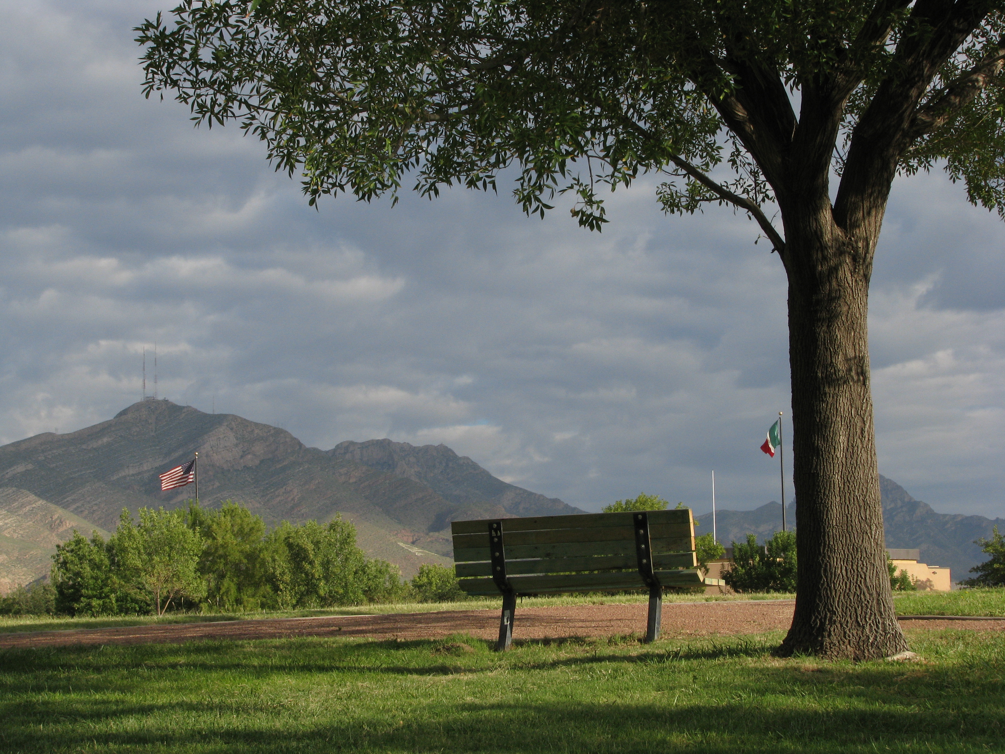
El Paso is the sixth largest city in Texas, with 679,000 residents (2020). It is on the United States-Mexico border. The city on the other side of the border is Ciudad Juarez, Chihuahua. El Paso is often called the Sun City. Collectively, the city of El Paso and other nearby cities, such as Juarez and Las Cruces, New Mexico are referred to as The Borderland.
Top landmarks
•El Paso Museum of Art — art museum in El Paso, Texas
•Union Depot — historic place in El Paso, El Paso County, Texas
•Plaza Theatre — building in El Paso, El Paso County, Texas
Moderate complexity with 2 natural rest stops along the way.
Solo Traveler
9h 53m drive, plan rest stops for pacing.
Frequently Asked Questions
The longest stretch is about 95 miles on US 54. The full list of main roads is in the Roads section above.
Yes — a 2-day pace is more comfortable than one long haul. A sensible stopping point is after roughly 245 miles on day one.
Yes — we found about 12 rest areas or service plazas within a short detour of the route (from OpenStreetMap). See the Rest Stops tab under Nearby Places for locations and mile markers. Plan to stretch, use the bathroom, and top off fluids every 2–3 hours on longer drives.
It helps. This route has a higher-than-average number of complex decision points, which get harder in the dark. If the last hour of the trip is on surface roads or mountain grades, aim to arrive at El Paso, TX before sunset when you can. Check the Trip Plan for departure windows that land you in daylight.
Only with planning. This is a long drive for kids — consider splitting it into two days rather than pushing through. Plan at least 2 meaningful breaks. There are 12 rest areas along the route for bathroom stops.
The main spots that need attention: near the start (TX 136 / Main Avenue): Navigation decision point; at 11.2 miles (TX 15): Highway fork - watch signs carefully; at 223.7 miles: Highway fork - watch signs carefully.
Yes — Chamizal National Memorial. See the National Parks section for detour distances and tips on detours.
Not recommended in a single day. At 9.9 hours each way, a round trip means 19.8 hours of driving — that is an unsafe level of fatigue for most drivers. Plan at least one night at El Paso, TX before the return drive.