If you are planning to travel from Franklin to Louisville, expect a straightforward 133.6-mile journey that typically takes about 2 hours and 29 minutes. This trip is perfectly suited for a single-day excursion, as it connects two points within the Southeast region of Kentucky without requiring an overnight stay. You will primarily utilize I-65, supported by Scottsville Road and East Cedar Street, making it a highly efficient corridor. With an estimated fuel cost of just $20, it is a budget-friendly option for travelers looking to move between these two Kentucky cities. Given the direct nature of the path, you can easily complete the drive in one go, allowing you to maximize your time once you arrive at your destination.
Trip Pace
Same-day drive is realistic
A same-day return is realistic if you keep stops short.
Midpoint
66.8 miles from Franklin, KY
A natural place for your longest stop of the day
, about 1h 15m into the drive
.
Main Roads
Road
Distance
Duration
I 65
129.1 mi
2h 20m
Scottsville Road
1.8 mi
2m
East Cedar Street
1.4 mi
2m
West Muhammad Ali Boulevard
0.4 mi
1m
South 5th Street
0.2 mi
<1m
South Brook Street
0.2 mi
<1m
Rapids Road
<0.1 mi
<1m
West Jefferson Street
<0.1 mi
<1m
Longest stretch:
I 65
— 129.1 mi, about 2h 20m
Turn-by-Turn Driving Directions
Step-by-step road directions between Franklin, KY and Louisville, KY.
1
Start on North Water Street
99 ft·9 sec·North Water Street
2
Turn left onto KY 73
1.4 mi·2 min·East Cedar Street
3
Continue on KY 73
0.6 mi·1 min·Scottsville Road
4
Turn right onto KY 73
255 ft·11 sec·Rapids Road
5
Turn left onto KY 100
1.2 mi·1 min·Scottsville Road
6
Take the ramp
0.3 mi·37 sec
7
Merge onto I 65
129 mi·2 hr 20 min·I 65
Use the straight / slight right lanes.
8
Take the exit
0.2 mi·24 sec
Exit 136BToward Brook StreetUse the straight / slight right lanes.
9
Continue on South Brook Street
0.2 mi·34 sec·South Brook Street
10
Turn left onto West Muhammad Ali Boulevard
0.4 mi·1 min·West Muhammad Ali Boulevard
Use the left / straight lanes.
11
Turn right onto South 5th Street
0.2 mi·36 sec·South 5th Street
12
Turn left onto West Jefferson Street
221 ft·7 sec·West Jefferson Street
13
Arrive at destination
West Jefferson Street
Trip Plan
Since this is a relatively short trip of under two and a half hours, you have significant flexibility regarding your departure time. You won't need to worry about planning extensive stops or overnight breaks, as the route is designed to be completed in a single, comfortable stint. Keep in mind that because nearly the entire drive is on I-65, traffic conditions on the interstate will be the primary factor influencing your total travel time. It is wise to check for congestion reports on the interstate before you leave Franklin to ensure a smooth transition. Budgeting $20 for fuel should cover your needs, but keeping a little extra set aside for potential price fluctuations at the pump is always a smart move for any road trip.
Morning Departure
Leave by 9 AM and you'll arrive before lunch.
Evening Departure
Even a 4 PM departure gets you there before dark in summer.
You can normally do this drive in one day.
You may only need one short stretch break if traffic stays light.
The halfway point lands around 66.8 miles from Franklin, KY, or about 1h 15m into the drive.
The longest continuous stretch on this route runs about 129.1 miles.
This is a comfortable same-day trip.
Departure
Before you leave
Start with fuel, water, and navigation already sorted so the first hour feels easy.
First stop
Around 29 miles or 33m in
Use this first pause for coffee, a restroom break, and a quick traffic check ahead.
Halfway reset
Around 66.8 miles or 1h 15m in
This is the best place for your longest stop, a real meal, and a full fuel check.
Final approach
Final hour starts around 2h 1m
Traffic, exits, and arrival timing usually matter more near Louisville, KY than in the middle of the route.
Before You Leave
+
Open the route before leaving Franklin, KY so your first major turns are already loaded.
+
Leave with enough water and a charging cable within reach, not packed away.
+
Check your fuel range against the first long segment, especially if you are starting outside city service areas.
Day 1
Settle into the route from Franklin, KY
This is one driving day of about 133.6 miles and 2h 29m.
Your first comfortable stop window is around 29 miles from Franklin, KY.
This route can stay practical as a one-day drive if traffic stays reasonable.
The longest stretch is on I 65 for about 129.1 miles.
Where to Stop
Rest stops, refuel points, and overnight suggestions along this route.
Place data sourced from public business listings. Hours and availability may vary.
Heads-up: tricky spots
5 of 9
5 decision points cluster between mile 0 and 133.6 — GPS handles the exact turns, but know they're coming. Your lane choice matters more than the turn itself.
4
0 mi into trip|~0m in|KY 73 / East Cedar Street
Turn left onto KY 73 / East Cedar Street
Navigation decision point
5
3.5 mi into trip|~6m in|I 65
Merge onto I 65
Merge point - match speed before joining. Lane positioning matters here
Use the straight / slight right lanes.
7
132.6 mi into trip|~2h 26m in
Take the exit toward Brook Street
Exit ramp - move to the correct lane early. Lane positioning matters here
Use the straight / slight right lanes.
Exit 136B
Toward Brook Street
5
133 mi into trip|~2h 27m in|West Muhammad Ali Boulevard
Turn left onto West Muhammad Ali Boulevard
Lane positioning matters here
Use the left / straight lanes.
5
133.6 mi into trip|~2h 29m in|West Jefferson Street
Turn left onto West Jefferson Street
Navigation decision point
Fuel & Cost
Regular Gas
$20.89 one way
$41.77 round trip
$3.97/gal25.4 MPG avg47 kg CO2
Fuel Type
$/gal
One Way
Round Trip
midgrade
$4.36
$22.93
$45.87
premium
$4.89
$25.71
$51.42
diesel
$5.61
$29.50
$58.99
No toll roads detected on this route.
Estimated Trip Cost (one way, 1 person)
Fuel
$21
Meals
$25–$50
Total
$46–$71
Rough estimate based on US averages. Hotel $80–$140/night, meals $25–$50/day.
Estimated CO2 emission: 46.7 kg one way.
Prices: EIA weekly data, 2026-04-13.
Driving Electric?
About $14 in charging
· 0 stops
· 66% less CO2
Vehicle Type
kWh
Stops
DC Fast
Home Charge
Average EV
40.1
0
$14.03
$6.41
Efficient EV
33.4
0
$11.69
$5.34
EV Truck/SUV
53.4
0
$18.70
$8.55
Gas CO2
47 kg
EV CO2
16 kg (66% less)
This trip is well within single-charge range for most EVs. No charging stops needed if you start fully charged.
DC fast charging avg $0.35/kWh. Home charging avg $0.16/kWh. US grid CO2: 0.39 kg/kWh.
Travel Intel
Current conditions at both ends of the drive.
Forecast as of Apr 20, 2026
Origin
Franklin, KY
Late night
in Franklin on Tuesday
Local time
4:03 AM
CDT
Current temp
74°F
Unavailable
Live forecast
Destination
Louisville, KY
Late night
in Louisville on Tuesday
Local time
5:03 AM
EDT
Current temp
76°F
Unavailable
Live forecast
Seasonal Notes
Summer travel usually means heavier construction, hotter rest stops, and busier weekend traffic around major cities.
Winter travel shortens daylight, so a route that looks manageable on paper can feel much longer after dark.
Holiday weekends tend to make both departure and arrival windows slower than the raw route time suggests.
Time zone
1 hour later
The destination clock does not match departure time, so double-check hotel check-in windows and late arrival plans.
Temperature spread
2 degrees warmer at arrival
A meaningful temperature swing is a good cue to rethink layers, water, and how soon you want to arrive.
Road read
2h 29m on the road
Use the two city cards together: check the sky where you start, then compare it with the local time and temperature at arrival.
Weather data from the National Weather Service. Conditions may change; check closer to your travel date.
National Parks Near This Route
Worth a detour if your schedule allows.
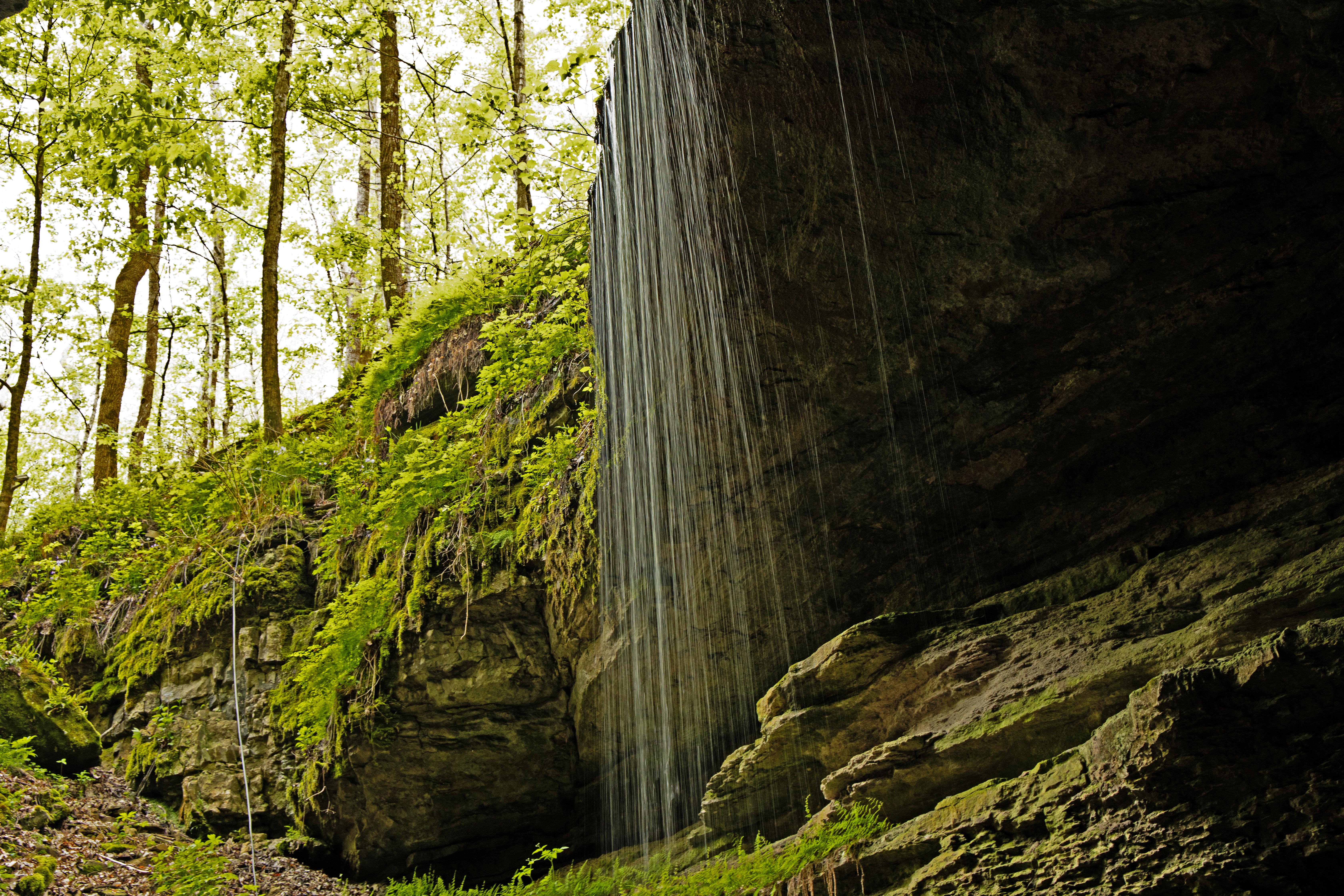
Mammoth Cave National Park
National Park
Rolling hills, deep river valleys, and the world's longest known cave system. Mammoth Cave National Park is home to thousands of years of human history and a rich diversity of plant and animal life, e...
8 mi from route
~20 min detour
Free
near mile 46.1
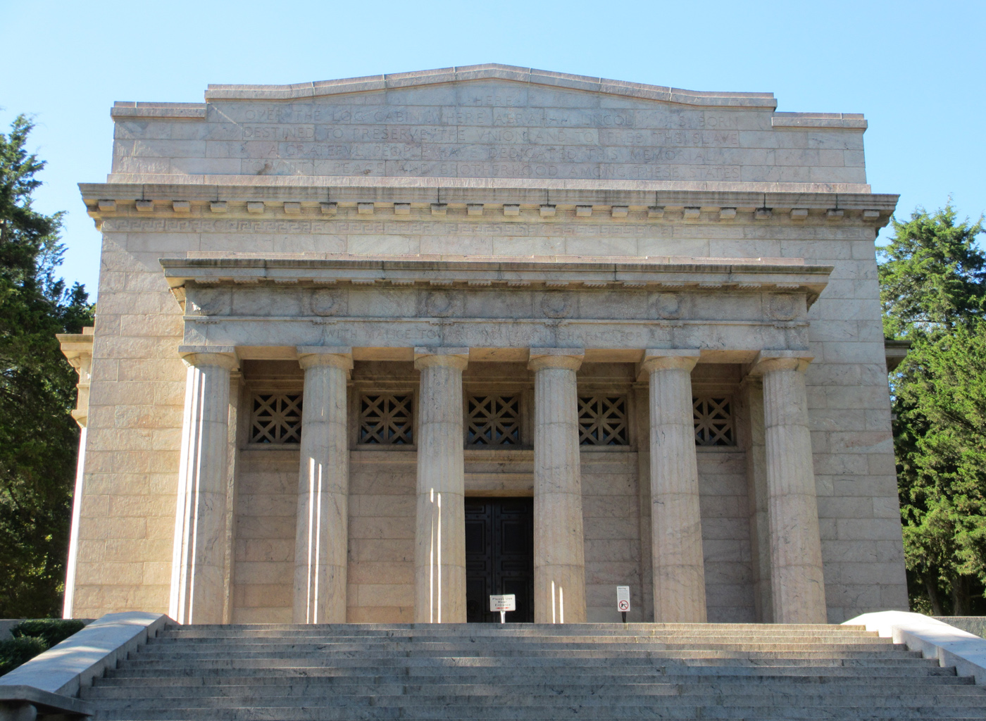
Abraham Lincoln Birthplace National Historical Park
National Historical Park
For over a century people from around the world have come to rural Central Kentucky to honor the humble beginnings of our 16th president, Abraham Lincoln. His early life on Kentucky's frontier shaped...
11 mi from route
~27 min detour
Free
near mile 82.9
Park data from the National Park Service API. Alerts update every 2 hours.
More Details
What kind of drive is this?
Expect a highly efficient, highway-focused experience, as 97% of your travel occurs on major thoroughfares. The vast majority of your time behind the wheel will be spent on a 129.1-mile stretch along I-65, which serves as the backbone of this trip. Because this route is dominated by interstate driving, it offers a consistent, predictable pace rather than a winding or technical backroad challenge. You will start with short local segments on Scottsville Road and East Cedar Street before merging onto the interstate for the duration of the trip. This setup is ideal if you prefer steady speeds and minimal navigation adjustments throughout your transit.
97% highway — fuel and pacing are the main things to plan.
13 navigation steps total — most of the decisions cluster near the start and finish.
Longest single stretch: 129.1 mi on I 65.
How Hard Is This Drive?
3/10
This is a straightforward highway drive that stays mostly on I 65 and Scottsville Road. There are only a few real navigation decisions along the way. The trickiest moment comes early in the drive near KY 73 / East Cedar Street.
Driving Effort3/10
Easy - simple navigation with a manageable amount of wheel time
Balances navigation complexity with total wheel time.
This is a straightforward 2h 29m drive. You will face about 9 decision points, but nothing that requires special attention if you follow navigation.
Where does it get tricky?
The main spots that need attention: near the start (KY 73 / East Cedar Street): Navigation decision point; at 3.5 miles (I 65): Merge point - match speed before joining. Lane positioning matters here; at 132.6 miles: Exit ramp - move to the correct lane early. Lane positioning matters here.
Franklin is a city in Kentucky's Caves and Lakes region. In the mid-2000s, the community of Franklin was honored as one of the "50 Best Small Southern Towns."
Louisville, the largest city in Kentucky, is known for the Kentucky Derby horserace and as the "gateway to the south" from southern Indiana. It's a lively mid-sized city with an excellent dining scene, ample opportunities for bourbon tasting, and interesting public art. Louisville is also the namesake of the Official Bat of Major League Baseball — the Louisville Slugger.
Top landmarks
•Waverly Hills Sanatorium — former hospital in Kentucky, United States
•Bowman Field — public airport in Louisville, Kentucky, United States
•Cathedral of the Assumption — Catholic cathedral in Louisville, Kentucky
The longest stretch is about 129.1 miles on I 65. The full list of main roads is in the Roads section above.
Yes, with realistic expectations. Build in a stop roughly every 2 hours, have snacks and activities ready, and check the Nearby Places tabs for kid-friendly stops along the way.
The main spots that need attention: near the start (KY 73 / East Cedar Street): Navigation decision point; at 3.5 miles (I 65): Merge point - match speed before joining. Lane positioning matters here; at 132.6 miles: Exit ramp - move to the correct lane early. Lane positioning matters here.
Yes — Mammoth Cave National Park and Abraham Lincoln Birthplace National Historical Park. See the National Parks section for detour distances and tips on detours.
Yes. A round trip is manageable in a single day if you plan a break at Louisville, KY before heading back.