Scenic Overlook & Rest Area
0 mi from route
Compiled and reviewed by the US Trip Planner planning team at COD Solutions Oy · Last reviewed Jul 19, 2026 · Editorial standards
Drive Time
12h 42m
Distance
761.7 mi
1,226 km
Drive Score
7/10
Good drive
Same Day?
2-day trip
Fuel Cost
$104
one way
EV Charging
Unknown
Estimated drive times based on typical traffic patterns. Actual times may vary with weather, construction, and real-time conditions.

Deer Park, TX
Wikimedia Commons

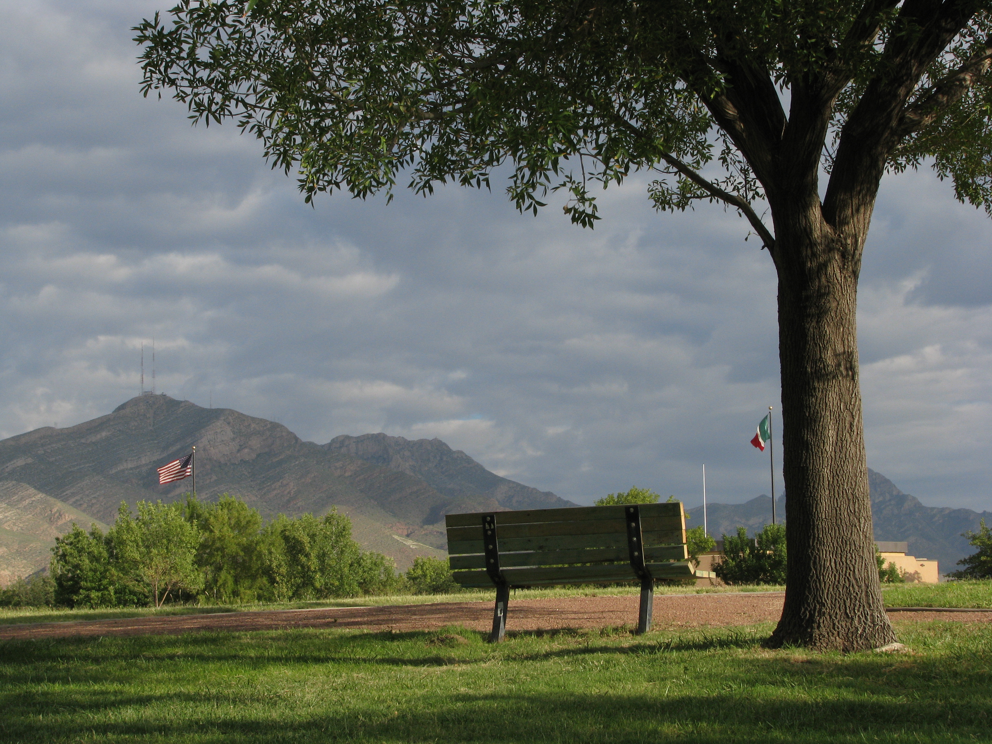
El Paso, TX
Wikimedia Commons
Spanning 761.7 miles across Texas, your journey from Deer Park to El Paso is a significant cross-state undertaking. You should budget approximately 12 hours and 42 minutes of pure drive time, making this a challenging trek that is best tackled over two days rather than a single marathon session. Relying on major arteries like the Katy Freeway and I-10, you will remain within the Great Plains region throughout the entire trip. Expect to spend roughly $116 on fuel, though this can fluctuate based on your vehicle's efficiency. Because of the sheer distance, planning an overnight stay is the most practical way to arrive in El Paso feeling refreshed. This route is a straightforward, long-distance haul that prioritizes efficiency over scenic diversions.
Trip Pace
Best split across 2 days
Treat the return leg as its own travel day rather than an afterthought.
Break Rhythm
3 planned breaks
Plan on a short reset every 3 to 4 hours to stay fresh behind the wheel.
Midpoint
380.9 miles from Deer Park, TX
A natural place for your longest stop of the day , about 6h 35m into the drive .
| Road | Distance | Duration |
|---|---|---|
| I 10 | 538.4 mi | 8h 36m |
| Katy Freeway | 174.7 mi | 3h 1m |
| Anderson Loop | 20.4 mi | 22m |
| Gulf Freeway | 7.8 mi | 9m |
| Farm-to-Market Road 1518 | 5.4 mi | 9m |
| Pasadena Freeway | 5.2 mi | 5m |
| La Porte Freeway | 2.5 mi | 2m |
| Gordon A Blake Highway | 2 mi | 3m |
Hour-of-day weekday pattern from 60 FHWA count stations on your route.
Peak
3 PM
~1,728 veh/hr typical · worst 2,320
Quietest
2 AM
~229 veh/hr
Peak-to-quiet ratio
7.5×
busier at peak than in the quiet hours
Averaged across 52 weeks of 2023 FHWA Travel Monitoring Analysis System data. Weekday hours only (Mon–Fri).
Step-by-step road directions between Deer Park, TX and El Paso, TX.
Start on Center Street
Turn left onto Highway 225
Take the ramp
Merge onto TX 225
Continue on TX 225
Continue on TX 225
Take the exit
Merge onto I 610
Take the exit
Keep slight right at fork
Merge onto I 45
Take the exit
Merge onto I 10; US 90
Keep slight left at fork onto I 10; US 90; TX 130
Take the exit
Turn straight onto Interstate 10 East
Turn right onto FM 1518
At end of road, turn left onto FM 78
Turn left
Take the ramp
Merge onto Loop 1604
Take the exit
Turn straight onto North Loop 1604 West
Turn right onto Interstate 10 West
Take the ramp
Merge onto I 10; US 87
Keep slight right at fork onto I 10; US 87
Take the exit
Turn straight onto East Missouri Avenue
Turn left onto TX 20
Arrive at destination
To manage the 761.7-mile distance effectively, plan for at least three dedicated stops to stretch your legs and refuel. Leaving Deer Park early in the morning is your best strategy to avoid peak traffic congestion as you navigate toward the main highway arteries. Since you are facing a massive 538.4-mile stretch on I-10, prioritize checking your tire pressure and fluid levels before you depart, as the heat and speed can be demanding on your vehicle. We strongly recommend splitting the trip into two days to maintain safety and comfort. Keep your $116 fuel budget in mind, but always set aside a little extra for unexpected price surges at remote stations along the long desert-adjacent stretches.
Morning Departure
Start early — leave by 6-7 AM to arrive at a reasonable hour.
Evening Departure
This is a long drive — plan for a morning departure or consider splitting it into two days.
Consider an overnight stop or starting very early.
Departure
Before you leave
Start with fuel, water, and navigation already sorted so the first hour feels easy.
First stop
Around 168 miles or 2h 59m in
Use this first pause for coffee, a restroom break, and a quick traffic check ahead.
Halfway reset
Around 380.9 miles or 6h 35m in
This is the best place for your longest stop, a real meal, and a full fuel check.
Overnight split
Day 1 wrap after about 380.9 miles or 6h 35m
Stop before fatigue turns the last few hours into a grind. You want day two to start fresh, not just resumed.
Final approach
Final hour starts around 11h 43m
Traffic, exits, and arrival timing usually matter more near El Paso, TX than in the middle of the route.
Open the route before leaving Deer Park, TX so your first major turns are already loaded.
Leave with enough water and a charging cable within reach, not packed away.
Check your fuel range against the first long segment, especially if you are starting outside city service areas.
Pick one backup stop option before the midpoint in case traffic changes your pacing.
Treat this as a 2-day road trip and book the overnight stop before the busiest arrival window.
Day 1
Settle into the route from Deer Park, TX
Aim for roughly 381 miles and 6.4 hours of wheel time on this day.
Day 2
Finish the approach into El Paso, TX
Aim for roughly 381 miles and 6.4 hours of wheel time on this day.
Rest stops, refuel points, and overnight suggestions along this route.

First major stop
Coffee and fuel
251 mi into the route
Best for: Coffee, fuel, and an easy first stretch
This is a natural early stop once the first hours of the drive are behind you.

Second major stop
Overnight candidate
503 mi into the route
Best for: Hotel check-in, dinner, and a fresh start
This lines up well with a realistic day-end stop if you are breaking the drive into stages.
Find hotels in McCamey, TXNight 1
381 mi · about 6.4h in
A practical overnight split lands near Junction, TX after about 381 miles or 6.4 hours of driving.
Find hotelsA short stop after about 168 miles helps settle the day before fatigue starts building.
The midpoint is around 380.9 miles from Deer Park, TX, which is a good place for a longer meal and fuel stop.
Before the longest stretch
Fuel checkTop up before I 10 if your tank is already low. That segment runs about 538.4 miles.
Overnight split
Hotel stopFor a steadier pace, wrap day one after about 381 miles or 6.4 hours on the road.
These stop ideas are pacing suggestions — the exact town or exit can change with traffic, hotel plans, and fuel range.
Picked by where they fit in your drive — first break, midpoint reset, final stretch.
Near the end, right off the route
El Paso, Texas
Hours: 10 am–6 pm
+19152123150
Visit websiteNear the end, right off the route
El Paso, Texas
Hours: 9 am–4 pm
+19155335147
Visit websiteNear the end, short detour
El Paso, Texas
Hours: 6 am–11 pm
+19152120092
Visit websiteNear the end, right off the route
El Paso, Texas
Hours: 1–5 pm
+19155436747
Visit websiteEarly in the drive, short detour
San Antonio, Texas
Hours: 9 am–6 pm
+12102578118
Visit websiteAround the midpoint, short detour
Sonora, Texas
Hours: 1–5 pm
+13253873754
Visit websiteEarly in the drive, short detour
Hill Country Village, Texas
Hours: Closed
+12104753174
Visit websiteNear the end, short detour
El Paso, Texas
Hours: 9 am–5 pm
+19152120966
Visit websitePlace data sourced from public business listings. Hours and availability may vary.
5 decision points cluster between mile 10.4 and 761 — GPS handles the exact turns, but know they're coming. Your lane choice matters more than the turn itself.
Take the exit toward I 45 North, TX 35 South: Alvin, Downtown
Exit ramp - move to the correct lane early. Lane positioning matters here. Multiple destination signs - pick the right one
Keep slight right at fork toward I 45 North: Downtown
Highway fork - watch signs carefully. Lane positioning matters here
Take the exit toward I 10 West: San Antonio
Exit ramp - move to the correct lane early. Lane positioning matters here
Take the exit toward TX 1518: Schertz
Exit ramp - move to the correct lane early. Lane positioning matters here
Take the exit toward Missouri Avenue, Downtown
Exit ramp - move to the correct lane early. Lane positioning matters here. Multiple destination signs - pick the right one
Regular Gas
$104.33 one way
$208.66 round trip
| Fuel Type | $/gal | One Way | Round Trip |
|---|---|---|---|
| midgrade | $3.89 | $116.53 | $233.07 |
| premium | $4.23 | $126.70 | $253.40 |
| diesel | $4.80 | $143.82 | $287.65 |
No toll roads detected on this route.
Estimated Trip Cost (one way, 1 person)
Fuel
$104
Hotel (1n)
$80–$140
Meals
$50–$100
Total
$234–$344
Rough estimate based on US averages. Hotel $80–$140/night, meals $25–$50/day.
Estimated CO2 emission: 266.5 kg one way. Prices: EIA weekly data, 2026-07-13.
Driving Electric?
About $80 in charging · 2 stops · 67% less CO2
| Vehicle Type | kWh | Stops | DC Fast | Home Charge |
|---|---|---|---|---|
| Average EV | 228.5 | 2 | $79.98 | $36.56 |
| Efficient EV | 190.4 | 2 | $66.65 | $30.47 |
| EV Truck/SUV | 304.7 | 3 | $106.64 | $48.75 |
Gas CO2
267 kg
EV CO2
89 kg (67% less)
Plan for 2 charging stops, roughly every 270 miles. Allow 25-40 minutes per stop at a DC fast charger.
DC fast charging avg $0.35/kWh. Home charging avg $0.16/kWh. US grid CO2: 0.39 kg/kWh.
Current conditions at both ends of the drive.
Origin
Morning in Deer Park on Sunday
Local time
11:41 AM
CDT
Current temp
91°F
Slight Chance Showers And Thunderstorms
Special Weather Statement
Special Weather Statement issued July 16 at 3:04PM CDT by NWS Austin/San Antonio TX
Flash Flood Warning
Flash Flood Warning issued July 16 at 3:03PM CDT until July 16 at 6:00PM CDT by NWS Midland/Odessa TX
Destination
Morning in El Paso on Sunday
Local time
10:41 AM
MDT
Current temp
93°F
Slight Chance Showers And Thunderstorms
Special Weather Statement
Special Weather Statement issued July 16 at 3:04PM CDT by NWS Austin/San Antonio TX
Flash Flood Warning
Flash Flood Warning issued July 16 at 3:03PM CDT until July 16 at 6:00PM CDT by NWS Midland/Odessa TX
Seasonal Notes
Summer travel usually means heavier construction, hotter rest stops, and busier weekend traffic around major cities.
Winter travel shortens daylight, so a route that looks manageable on paper can feel much longer after dark.
Holiday weekends tend to make both departure and arrival windows slower than the raw route time suggests.
For long drives, weather on day two can matter just as much as conditions at departure, so check the whole travel window rather than only the first day.
Time zone
The destination clock does not match departure time, so double-check hotel check-in windows and late arrival plans.
Temperature spread
A meaningful temperature swing is a good cue to rethink layers, water, and how soon you want to arrive.
Road read
This is long enough that the arrival forecast matters almost as much as departure conditions. Recheck both ends before you roll.
Weather data from the National Weather Service. Conditions may change; check closer to your travel date.
Worth a detour if your schedule allows.
National Memorial
Chamizal is more than just an urban park to recreate or enjoy a quiet afternoon. These grounds are a reminder of the harmonious settlement of a 100-year boundary dispute between the United States and...

National Historical Park
Welcome to San Antonio Missions, a National Park Service site and the only UNESCO World Heritage Site in Texas. Each mission in the park is a center of community and has been since the early 1700s. Th...

National Historical Park
Lyndon B. Johnson National Historical Park tells the story of our 36th president beginning with his ancestors until his final resting place on his beloved LBJ Ranch. This entire "circle of life" gives...
Park data from the National Park Service API. Alerts update every 2 hours.
Prepare for a high-speed interstate experience, as 96% of this route consists of highway travel. The driving environment is dominated by I-10, which serves as the backbone of your journey. You will face a significant, uninterrupted stretch of 538.4 miles on I-10, requiring steady focus and stamina behind the wheel. As you transition from the Houston area through the Anderson Loop and beyond, the landscape remains consistent with the Great Plains. While the road is efficient, the intensity of such a long highway-heavy drive means you should be prepared for the mental fatigue that comes with miles of open pavement.
This is a straightforward highway drive that stays mostly on I 10 and Katy Freeway. This route has several spots where lane changes, forks, or exits need your full attention. The trickiest moment comes around 10.4 miles in.
High effort - long or complex enough to need steady focus all day
Balances navigation complexity with total wheel time.
This is a demanding drive. With 24 significant decision points across 761.7 miles, you will need to stay alert - especially through interchange areas and urban stretches. Consider splitting it into segments if you are not comfortable with fast highway navigation.
Where does it get tricky?
The main spots that need attention: at 10.4 miles: Exit ramp - move to the correct lane early. Lane positioning matters here. Multiple destination signs - pick the right one; at 10.6 miles: Highway fork - watch signs carefully. Lane positioning matters here; at 18.7 miles: Exit ramp - move to the correct lane early. Lane positioning matters here.
Hilly terrain with moderate elevation changes
Total Climb
4,397 ft
Total Descent
859 ft
Highest Point
4,497 ft
~652.9 mi in
Elevation Range
4,322 ft
Notable High Points
Based on OSRM destination-sign hints, not a full list of every settlement the road passes.
On the drive from Deer Park, TX to El Paso, TX, road signs begin pointing toward Loop 1604 North along the way.
Loop 1604 North
Founded 1948
“The Sun City” · Founded 1680
El Paso is the sixth largest city in Texas, with 679,000 residents (2020). It is on the United States-Mexico border. The city on the other side of the border is Ciudad Juarez, Chihuahua. El Paso is often called the Sun City. Collectively, the city of El Paso and other nearby cities, such as Juarez and Las Cruces, New Mexico are referred to as The Borderland.
Top landmarks
City content from Wikivoyage (CC BY-SA 4.0) and Wikidata (CC0).
Compiled by the US Trip Planner planning team at COD Solutions Oy from open government datasets — OSRM over OpenStreetMap for geometry, EIA for fuel prices, USGS 3DEP for elevation, NPS for national parks, and FHWA TMAS for hourly traffic volumes. See our methodology for refresh cadence and limitations.
Was this helpful?
Thanks for your feedback!
Your tip has been submitted. Thanks!
/500
Recent Tips
·
Explore more options from Deer Park, TX or browse trips ending in El Paso, TX.
Looking for more statewide routes? Browse TX road trips.