Spanning 231.8 miles, your journey from Bossier City to New Iberia takes approximately 3 hours and 23 minutes. This route is perfectly suited for a single-day trip, allowing you to reach your destination without the need for an overnight stay. Expect to spend roughly $31 on fuel for the trek. You will be traveling entirely within the Southeast region of Louisiana, moving from the northern part of the state down toward the heart of Acadiana. Whether you are heading south for business or a change of scenery, this direct path is straightforward enough to keep your planning simple and manageable.
Trip Pace
Same-day drive is realistic
A same-day return is possible, but it will make for a full day on the road.
Break Rhythm
1 planned break
Plan on a short reset every 3 to 4 hours to stay fresh behind the wheel.
Midpoint
115.6 miles from Bossier City, LA
A natural place for your longest stop of the day
, about 2h into the drive
.
Main Roads
Road
Distance
Duration
Louisiana Korean War Veterans Memorial Highway
197.9 mi
3h 22m
LA 182
12.3 mi
18m
Veterans Memorial Expressway
8.8 mi
9m
US 90
6.3 mi
8m
Northwest Evangeline Thruway
2.2 mi
3m
Purple Heart Recipients Highway
1.4 mi
2m
Southwest Evangeline Thruway
1.2 mi
1m
Barksdale Boulevard
0.2 mi
<1m
Longest stretch:
Louisiana Korean War Veterans Memorial Highway
— 197.9 mi, about 3h 22m
Turn-by-Turn Driving Directions
Step-by-step road directions between Bossier City, LA and New Iberia, LA.
1
Start on Monroe Street
78 ft·4 sec·Monroe Street
2
Turn right onto Barksdale Boulevard
0.2 mi·32 sec·Barksdale Boulevard
3
Take the ramp
0.2 mi·31 sec
4
Merge onto I 20; US 71
1.4 mi·2 min·Purple Heart Recipients Highway
5
Take the exit
0.8 mi·1 min
Toward I 49 South: Alexandria
6
Continue on I 49
198 mi·3 hr 22 min·Louisiana Korean War Veterans Memorial Highway
7
Continue on I 49; US 167
8.8 mi·9 min·Veterans Memorial Expressway
8
Continue on I 49; LA 182
2.2 mi·3 min·Northwest Evangeline Thruway
9
Continue on US 90; LA 182
6.3 mi·8 min·US 90; LA 182
10
Keep slight right at fork onto US 90; LA 182
0.5 mi·33 sec·Southwest Evangeline Thruway
11
Keep slight right at fork onto US 90; LA 182
0.7 mi·46 sec·Southwest Evangeline Thruway
12
Take the exit onto LA 182
12 mi·18 min·LA 182
13
Turn right onto Julia Street
207 ft·9 sec·Julia Street
14
Arrive at destination
Julia Street
Trip Plan
Given the turn-heavy nature of this 231.8-mile route, plan to leave early in the day to give yourself plenty of time to navigate the local roads comfortably. With only one scheduled stop recommended, prioritize your break in a location that allows you to stretch your legs after navigating the initial segments of the drive. Keep a close eye on your fuel gauge, as the $31 estimated cost can fluctuate based on how much idle time you encounter on the slower local stretches. Since this is a manageable one-day trip, the flexibility of your departure time is your greatest asset. Use that freedom to avoid peak traffic hours on the more congested local roads leading out of Bossier City.
Morning Departure
An early start around 7-8 AM gets you there with plenty of daylight left.
Evening Departure
A late afternoon start means arriving after dark. Morning is better.
You can normally do this drive in one day.
Plan roughly 1 meaningful break for fuel, food, and rest.
The halfway point lands around 115.6 miles from Bossier City, LA, or about 2h into the drive.
The longest continuous stretch on this route runs about 197.9 miles.
This is a comfortable same-day trip.
Departure
Before you leave
Start with fuel, water, and navigation already sorted so the first hour feels easy.
First stop
Around 51 miles or 54m in
Use this first pause for coffee, a restroom break, and a quick traffic check ahead.
Halfway reset
Around 115.6 miles or 2h in
This is the best place for your longest stop, a real meal, and a full fuel check.
Final approach
Final hour starts around 3h 16m
Traffic, exits, and arrival timing usually matter more near New Iberia, LA than in the middle of the route.
Before You Leave
+
Open the route before leaving Bossier City, LA so your first major turns are already loaded.
+
Leave with enough water and a charging cable within reach, not packed away.
+
Check your fuel range against the first long segment, especially if you are starting outside city service areas.
Day 1
Settle into the route from Bossier City, LA
This is one driving day of about 231.3 miles and 4h 9m.
Your first comfortable stop window is around 51 miles from Bossier City, LA.
This route can stay practical as a one-day drive if traffic stays reasonable.
Plan about 1 real break rather than only quick fuel stops.
The longest stretch is on Louisiana Korean War Veterans Memorial Highway for about 197.9 miles.
Where to Stop
Rest stops, refuel points, and overnight suggestions along this route.
Place data sourced from public business listings. Hours and availability may vary.
Heads-up: tricky spots
5 of 8
5 decision points cluster between mile 0 and 231.3 — GPS handles the exact turns, but know they're coming. Your lane choice matters more than the turn itself.
5
0 mi into trip|~0m in|Barksdale Boulevard
Turn right onto Barksdale Boulevard
Navigation decision point
4
1.8 mi into trip|~3m in
Take the exit toward I 49 South: Alexandria
Exit ramp - move to the correct lane early
Toward I 49 South: Alexandria
4
217.8 mi into trip|~3h 49m in|US 90; LA 182 / Southwest Evangeline Thruway
Keep slight right at fork onto US 90; LA 182 / Southwest Evangeline Thruway
Highway fork - watch signs carefully
4
218.2 mi into trip|~3h 49m in|US 90; LA 182 / Southwest Evangeline Thruway
Keep slight right at fork onto US 90; LA 182 / Southwest Evangeline Thruway
Highway fork - watch signs carefully
4
231.3 mi into trip|~4h 9m in|Julia Street
Turn right onto Julia Street
Navigation decision point
Fuel & Cost
Regular Gas
$32.11 one way
$64.22 round trip
$3.53/gal25.4 MPG avg81 kg CO2
Fuel Type
$/gal
One Way
Round Trip
midgrade
$3.95
$35.92
$71.85
premium
$4.29
$39.06
$78.11
diesel
$4.80
$43.67
$87.35
Estimated Tolls: $0.20
Northwest Evangeline Thruway
(2.2 mi)$0.15
Southwest Evangeline Thruway
(0.7 mi)$0.05
Toll estimates based on average 2024-2025 rates. EZ-Pass/SunPass discounts may lower the actual cost.
Estimated Trip Cost (one way, 1 person)
Fuel
$32
Tolls
$0
Meals
$25–$50
Total
$57–$82
Rough estimate based on US averages. Hotel $80–$140/night, meals $25–$50/day.
Estimated CO2 emission: 80.9 kg one way.
Prices: EIA weekly data, 2026-07-13.
Driving Electric?
About $24 in charging
· 0 stops
· 67% less CO2
Vehicle Type
kWh
Stops
DC Fast
Home Charge
Average EV
69.4
0
$24.29
$11.10
Efficient EV
57.8
0
$20.24
$9.25
EV Truck/SUV
92.5
1
$32.38
$14.80
Gas CO2
81 kg
EV CO2
27 kg (67% less)
Plan for 0 charging stops, roughly every 270 miles. Allow 25-40 minutes per stop at a DC fast charger.
DC fast charging avg $0.35/kWh. Home charging avg $0.16/kWh. US grid CO2: 0.39 kg/kWh.
Travel Intel
Current conditions at both ends of the drive.
Forecast as of Jul 18, 2026
Origin
Bossier City, LA
Afternoon
in Bossier City on Sunday
Local time
3:09 PM
CDT
Current temp
95°F
Mostly Sunny
W 5 mph1% chanceLive forecast
Heat Advisory
Heat Advisory issued July 18 at 10:12AM CDT until July 20 at 7:00PM CDT by NWS Jackson MS
Heat Advisory
Heat Advisory issued July 18 at 10:11AM CDT until July 18 at 6:00PM CDT by NWS New Orleans LA
Destination
New Iberia, LA
Afternoon
in New Iberia on Sunday
Local time
3:09 PM
CDT
Current temp
93°F
Mostly Sunny
NW 5 mph4% chanceLive forecast
Heat Advisory
Heat Advisory issued July 18 at 10:12AM CDT until July 20 at 7:00PM CDT by NWS Jackson MS
Heat Advisory
Heat Advisory issued July 18 at 10:11AM CDT until July 18 at 6:00PM CDT by NWS New Orleans LA
76°F
Alexandria, LA
116 mi in
Seasonal Notes
Summer travel usually means heavier construction, hotter rest stops, and busier weekend traffic around major cities.
Winter travel shortens daylight, so a route that looks manageable on paper can feel much longer after dark.
Holiday weekends tend to make both departure and arrival windows slower than the raw route time suggests.
Time zone
Same local time
Origin and destination are on the same clock, so arrival timing is easier to judge at a glance.
Temperature spread
2 degrees cooler at arrival
A meaningful temperature swing is a good cue to rethink layers, water, and how soon you want to arrive.
Road read
4h 9m on the road
An early start around 7-8 AM gets you there with plenty of daylight left.
Weather data from the National Weather Service. Conditions may change; check closer to your travel date.
National Parks Near This Route
Worth a detour if your schedule allows.
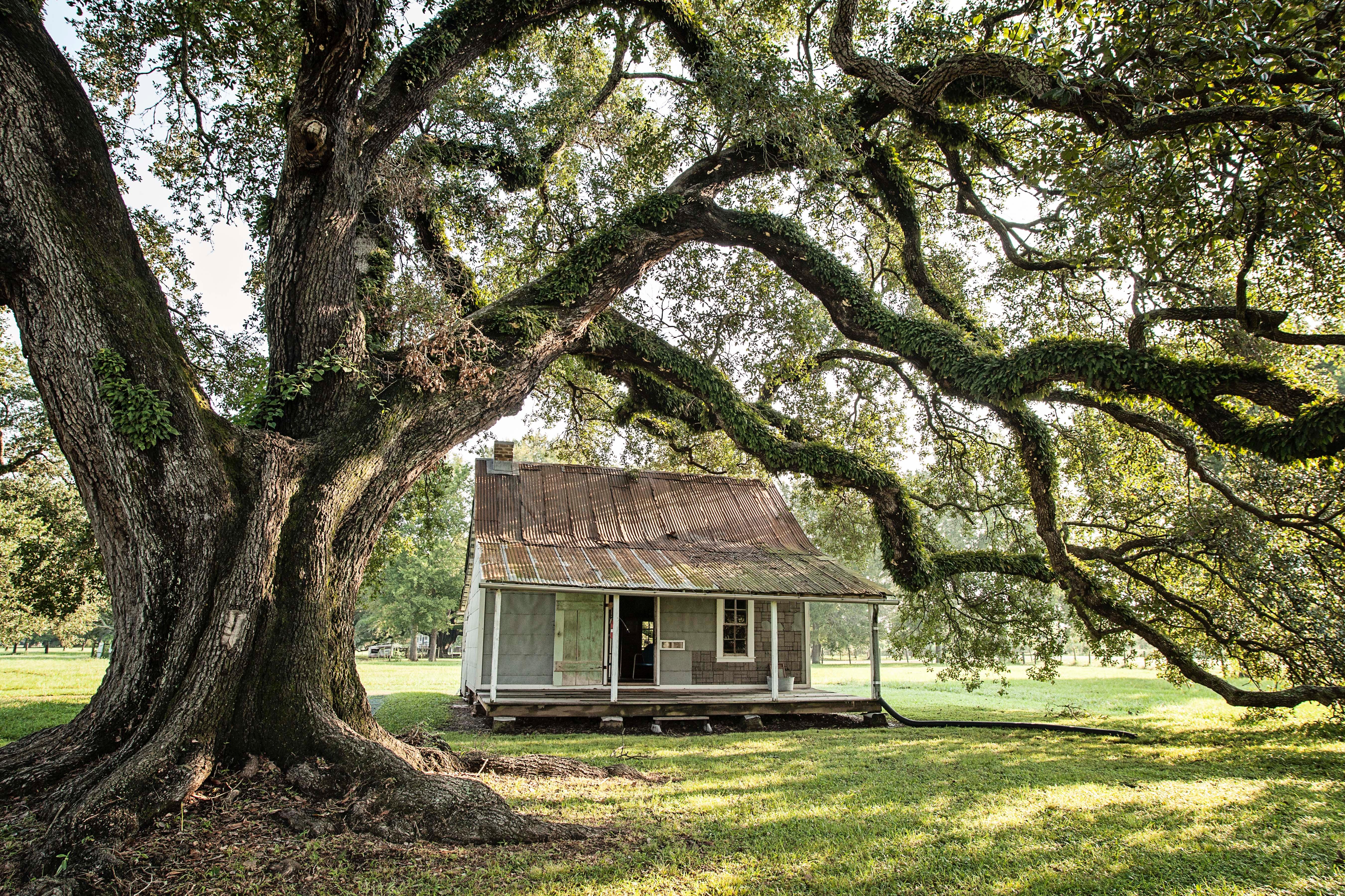
Cane River Creole National Historical Park
National Historical Park
The Cane River region is home to a unique culture; the Creoles. Generations of the same families of workers, enslaved and tenant, and owners lived on these lands for over 200 years. The park tells the...
4 mi from route
~11 min detour
Free
near mile 79.9
Park data from the National Park Service API. Alerts update every 2 hours.
More Details
What kind of drive is this?
Prepare for a turn-heavy local drive rather than a monotonous interstate cruise. You will start your trip on Barksdale Boulevard, which offers zero miles of uninterrupted highway stretches before you transition onto the Purple Heart Recipients Highway and I-49 South. Because the highway share is 0%, you should anticipate a more active driving experience that requires your full attention on local roads. The character of the route changes as you navigate these technical sections, moving away from the typical high-speed interstate feel. Stay alert, as the winding nature of the path keeps you engaged behind the wheel for the duration of the 3.5-hour drive.
Only 12% highway — the rest is turn-by-turn surface driving.
14 navigation steps total — most of the decisions cluster near the start and finish.
Longest single stretch: 197.9 mi on Louisiana Korean War Veterans Memorial Highway.
How Hard Is This Drive?
4/10
Expect a hands-on drive with frequent turns and local roads rather than long highway stretches. There are only a few real navigation decisions along the way. The trickiest moment comes early in the drive near Barksdale Boulevard.
Driving Effort4/10
Easy - simple navigation with a manageable amount of wheel time
Balances navigation complexity with total wheel time.
This is a straightforward 4h 9m drive. You will face about 8 decision points, but nothing that requires special attention if you follow navigation.
Where does it get tricky?
The main spots that need attention: near the start (Barksdale Boulevard): Navigation decision point; at 1.8 miles: Exit ramp - move to the correct lane early; at 217.8 miles (US 90; LA 182 / Southwest Evangeline Thruway): Highway fork - watch signs carefully.
Bossier City is the second-largest city in Northern Louisiana and the largest city in Bossier Parish. Home to Barksdale Air Force Base, which hosts several Air Force commands, as well as the backup landing site of Air Force One, Bossier City's recent history revolves largely around the U.S. military. In addition, most of the casinos in the Ark-La-Tex (the three-states region where Louisiana, Arkansas, and Texas intersect) are within the corporate limits of Bossier City.
Top landmarks
•Bossier High School — high school in Bossier City, Louisiana, United States
Mostly surface roads route profile with national parks nearby.
Frequently Asked Questions
The longest stretch is about 197.9 miles on Louisiana Korean War Veterans Memorial Highway. The full list of main roads is in the Roads section above.
Expect about $0.20 in tolls one way, starting with Northwest Evangeline Thruway. Most Northeast and Midwest toll agencies accept E-ZPass; in the West and Texas, transponders like TxTag or FasTrak apply. If you do not have a transponder, cashless tolling plates will mail a bill to the vehicle's registered address — usually with a surcharge, so a rental-car toll pass is often cheaper than paying by mail.
Yes — we found about 12 rest areas or service plazas within a short detour of the route (from OpenStreetMap). See the Rest Stops tab under Nearby Places for locations and mile markers. Plan to stretch, use the bathroom, and top off fluids every 2–3 hours on longer drives.
Yes, with realistic expectations. Build in a stop roughly every 2 hours, have snacks and activities ready, and check the Nearby Places tabs for kid-friendly stops along the way.
The main spots that need attention: near the start (Barksdale Boulevard): Navigation decision point; at 1.8 miles: Exit ramp - move to the correct lane early; at 217.8 miles (US 90; LA 182 / Southwest Evangeline Thruway): Highway fork - watch signs carefully.
Yes — Cane River Creole National Historical Park. See the National Parks section for detour distances and tips on detours.
Possible but tiring. At 4.2 hours each way, an in-and-out day trip would put you behind the wheel for 8.3 hours — manageable with a long break at New Iberia, LA, but most travelers stay overnight.