Traveling from Ardmore to Bixby covers 183.4 miles through the heart of the Oklahoma Great Plains. You can expect a drive time of approximately 3 hours and 32 minutes, making this a very manageable single-day trip. With a fuel budget of about $28, the route is cost-effective for a quick getaway or a necessary commute. You will navigate via the Governor Roy Joseph Turner Turnpike, the J. A. Richardson Loop, and Veterans Memorial Highway. Because the entire journey stays within the Great Plains region, the landscape remains consistent throughout your travels. It is a straightforward trip that does not require an overnight stay, allowing you to reach your destination with plenty of daylight to spare.
Trip Pace
Same-day drive is realistic
A same-day return is realistic if you keep stops short.
Break Rhythm
1 planned break
A short stop every 2 to 3 hours is enough for this drive.
Midpoint
91.7 miles from Ardmore, OK
A natural place for your longest stop of the day
, about 1h 49m into the drive
.
Main Roads
Road
Distance
Duration
Governor Roy Joseph Turner Turnpike
37.9 mi
37m
J. A. Richardson Loop
32 mi
37m
Veterans Memorial Highway
27.2 mi
30m
World War I Veterans Memorial Highway
19.1 mi
19m
Chickasaw Turnpike
17.3 mi
20m
OK 1
9.9 mi
12m
West 151st Street South
7.3 mi
10m
West Main Street
6.6 mi
9m
Longest stretch:
Governor Roy Joseph Turner Turnpike
— 37.9 mi, about 37m
Turn-by-Turn Driving Directions
Step-by-step road directions between Ardmore, OK and Bixby, OK.
1
Start on this road
51 ft·4 sec·this road
2
Turn right onto West Broadway Street
58 ft·1 sec·West Broadway Street
3
Continue on West Broadway Street
1.2 mi·2 min·West Broadway Street
4
Take the ramp
0.4 mi·51 sec
Toward I 35: Oklahoma CityUse the straight / slight right lanes.
5
Merge onto I 35
19 mi·19 min·World War I Veterans Memorial Highway
Use the straight lane.
6
Take the exit
0.2 mi·23 sec
Exit 51Toward US 77: Turner Falls AreaUse the slight right lane.
7
Keep slight right at fork
210 ft·5 sec
Use the straight / slight left lanes.
8
Turn straight onto US 77
1.6 mi·2 min·US 77
Use the straight / right lanes.
9
Continue on US 77
1.9 mi·2 min·US 77
Use the straight / left lanes.
10
Turn right
136 ft·5 sec
Use the right lane.
11
Merge onto OK 7; US 77
6.6 mi·9 min·West Main Street
Use the straight / right lanes.
12
Turn left onto OK 7 Spur
6.6 mi·7 min·Chickasaw Turnpike
13
Keep slight right at fork onto OK 301
11 mi·12 min·Chickasaw Turnpike
14
At end of road, turn left onto OK 1
9.8 mi·12 min·OK 1
Use the left / right lanes.
15
Take the exit onto OK 1
0.2 mi·37 sec·OK 1
Toward OK 1 East, OK 3 West: Oklahoma City, Seminole, McAlesterUse the straight / right lanes.
16
Merge onto OK 1; OK 3
32 mi·37 min·J. A. Richardson Loop
Use the straight / slight right lanes.
17
Continue on US 377; OK 3E; OK 99
2.9 mi·3 min·South Milt Phillips Avenue
Use the straight / right lanes.
18
Continue on OK 99; US 377
14 mi·16 min·Veterans Memorial Highway
Use the straight / right lanes.
19
Continue on OK 99; US 377
3.3 mi·3 min·Jim Thorpe Boulevard
Use the straight / left / right lanes.
20
Continue on OK 99; US 377
13 mi·14 min·Veterans Memorial Highway
Use the straight / left / right lanes.
21
Continue on OK 99; US 377
4.4 mi·5 min·South 8th Avenue
Use the straight lane.
22
Take the exit
314 ft·7 sec
Use the straight / left lanes.
23
Continue on this road
0.2 mi·23 sec·this road
24
Turn slight right
510 ft·13 sec
Toward I 44 East: Tulsa
25
Merge onto I 44
38 mi·37 min·Governor Roy Joseph Turner Turnpike
Use the straight lane.
26
Take the exit onto OK 364
4.8 mi·5 min·Creek Turnpike
Exit 218BToward OK 364 East: Jenks, Broken Arrow, JoplinUse the slight right lane.
27
Take the exit
0.5 mi·1 min
Toward US 75 South: OkmulgeeUse the straight / slight right lanes.
28
Merge onto US 75
3.9 mi·5 min·Okmulgee Beeline
Toward US 75 South: OkmulgeeUse the straight lane.
29
Take the exit
0.3 mi·50 sec
Toward OK 67: Kiefer, BixbyUse the straight / slight right lanes.
30
Turn left onto OK 67
7.3 mi·10 min·West 151st Street South
Toward OK 67 East: BixbyUse the straight lane.
31
Turn right onto North Armstrong Street
0.2 mi·42 sec·North Armstrong Street
32
Arrive at destination
North Armstrong Street
Trip Plan
Since this is a 3-hour and 32-minute journey, a single well-timed stop is all you really need to stay refreshed. Plan your departure to avoid peak traffic hours to ensure you maintain a consistent speed across the 183.4-mile distance. Keep your fuel budget of $28 in mind, as prices can fluctuate depending on where you choose to pull off the turnpike. Because the longest stretch of road is 37.9 miles, use those segments to make steady progress before checking your map for the next turn. Taking advantage of the flexibility this one-day route offers allows you to tailor your departure time to fit your specific schedule without the pressure of a multi-day itinerary.
Morning Departure
An early start around 7-8 AM gets you there with plenty of daylight left.
Evening Departure
A late afternoon start means arriving after dark. Morning is better.
You can normally do this drive in one day.
Plan roughly 1 meaningful break for fuel, food, and rest.
The halfway point lands around 91.7 miles from Ardmore, OK, or about 1h 49m into the drive.
The longest continuous stretch on this route runs about 37.9 miles.
This is a comfortable same-day trip.
Departure
Before you leave
Start with fuel, water, and navigation already sorted so the first hour feels easy.
First stop
Around 40 miles or 47m in
Use this first pause for coffee, a restroom break, and a quick traffic check ahead.
Halfway reset
Around 91.7 miles or 1h 49m in
This is the best place for your longest stop, a real meal, and a full fuel check.
Final approach
Final hour starts around 2h 53m
Traffic, exits, and arrival timing usually matter more near Bixby, OK than in the middle of the route.
Before You Leave
+
Open the route before leaving Ardmore, OK so your first major turns are already loaded.
+
Leave with enough water and a charging cable within reach, not packed away.
+
Check your fuel range against the first long segment, especially if you are starting outside city service areas.
Day 1
Settle into the route from Ardmore, OK
This is one driving day of about 183.4 miles and 3h 32m.
Your first comfortable stop window is around 40 miles from Ardmore, OK.
This route can stay practical as a one-day drive if traffic stays reasonable.
Plan about 1 real break rather than only quick fuel stops.
The longest stretch is on Governor Roy Joseph Turner Turnpike for about 37.9 miles.
Where to Stop
Rest stops, refuel points, and overnight suggestions along this route.
Place data sourced from public business listings. Hours and availability may vary.
Heads-up: tricky spots
5 of 22
5 decision points cluster between mile 20.8 and 166.5 — GPS handles the exact turns, but know they're coming. Your lane choice matters more than the turn itself.
7
20.8 mi into trip|~22m in
Take the exit toward US 77: Turner Falls Area
Exit ramp - move to the correct lane early. Lane positioning matters here
Use the slight right lane.
Exit 51
Toward US 77: Turner Falls Area
7
21 mi into trip|~23m in
Keep slight right at fork
Highway fork - watch signs carefully. Lane positioning matters here
Use the straight / slight left lanes.
7
58.2 mi into trip|~1h 9m in|OK 1
Take the exit onto OK 1 toward OK 1 East, OK 3 West: Oklahoma City, Seminole, McAlester
Exit ramp - move to the correct lane early. Lane positioning matters here. Multiple destination signs - pick the right one
Use the straight / right lanes.
Toward OK 1 East, OK 3 West: Oklahoma City, Sem...
7
128.2 mi into trip|~2h 31m in
Take the exit
Exit ramp - move to the correct lane early. Lane positioning matters here
Use the straight / left lanes.
8
166.5 mi into trip|~3h 8m in|OK 364 / Creek Turnpike
Take the exit onto OK 364 / Creek Turnpike toward OK 364 East: Jenks, Broken Arrow, Joplin
Exit ramp - move to the correct lane early. Lane positioning matters here. Multiple destination signs - pick the right one
Use the slight right lane.
Exit 218B
Toward OK 364 East: Jenks, Broken Arrow, Joplin
Fuel & Cost
Regular Gas
$28.67 one way
$57.34 round trip
$3.97/gal25.4 MPG avg64 kg CO2
Fuel Type
$/gal
One Way
Round Trip
midgrade
$4.36
$31.48
$62.96
premium
$4.89
$35.29
$70.59
diesel
$5.61
$40.49
$80.98
Estimated Tolls: $3.43
Turner Turnpike
(37.9 mi)$1.89
Chickasaw Turnpike
(10.7 mi)$0.75
Chickasaw Turnpike
(6.6 mi)$0.46
Creek Turnpike
(4.8 mi)$0.33
Toll estimates based on average 2024-2025 rates. EZ-Pass/SunPass discounts may lower the actual cost.
Estimated Trip Cost (one way, 1 person)
Fuel
$29
Tolls
$3
Meals
$25–$50
Total
$57–$82
Rough estimate based on US averages. Hotel $80–$140/night, meals $25–$50/day.
Estimated CO2 emission: 64.2 kg one way.
Prices: EIA weekly data, 2026-04-13.
Driving Electric?
About $19 in charging
· 0 stops
· 67% less CO2
Vehicle Type
kWh
Stops
DC Fast
Home Charge
Average EV
55
0
$19.26
$8.80
Efficient EV
45.9
0
$16.05
$7.34
EV Truck/SUV
73.4
0
$25.68
$11.74
Gas CO2
64 kg
EV CO2
21 kg (67% less)
This trip is well within single-charge range for most EVs. No charging stops needed if you start fully charged.
DC fast charging avg $0.35/kWh. Home charging avg $0.16/kWh. US grid CO2: 0.39 kg/kWh.
Travel Intel
Current conditions at both ends of the drive.
Forecast as of Apr 20, 2026
Origin
Ardmore, OK
Late night
in Ardmore on Tuesday
Local time
5:49 AM
CDT
Current temp
76°F
Unavailable
Live forecast
Destination
Bixby, OK
Late night
in Bixby on Tuesday
Local time
5:49 AM
CDT
Current temp
74°F
Unavailable
Live forecast
Seasonal Notes
Summer travel usually means heavier construction, hotter rest stops, and busier weekend traffic around major cities.
Winter travel shortens daylight, so a route that looks manageable on paper can feel much longer after dark.
Holiday weekends tend to make both departure and arrival windows slower than the raw route time suggests.
Time zone
Same local time
Origin and destination are on the same clock, so arrival timing is easier to judge at a glance.
Temperature spread
2 degrees cooler at arrival
A meaningful temperature swing is a good cue to rethink layers, water, and how soon you want to arrive.
Road read
3h 32m on the road
Use the two city cards together: check the sky where you start, then compare it with the local time and temperature at arrival.
Weather data from the National Weather Service. Conditions may change; check closer to your travel date.
National Parks Near This Route
Worth a detour if your schedule allows.
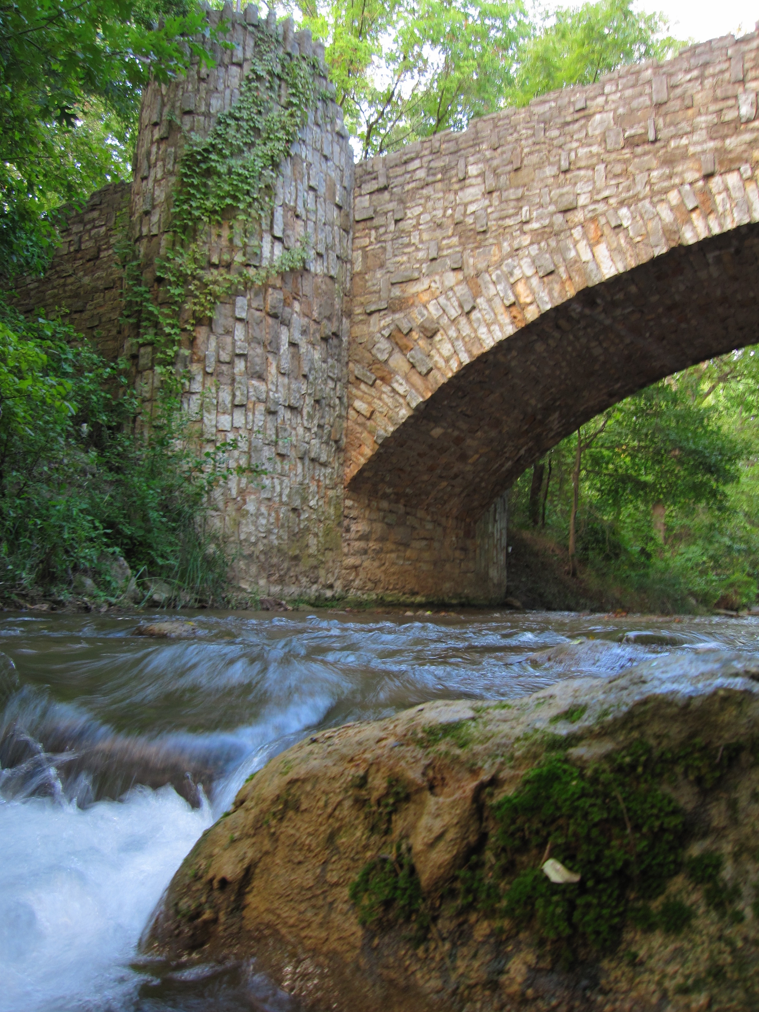
Chickasaw National Recreation Area
National Recreation Area
Springs, streams, lakes - whatever its form, water is the attraction at Chickasaw National Recreation Area.
Park data from the National Park Service API. Alerts update every 2 hours.
More Details
What kind of drive is this?
This 183.4-mile trek offers a mixed driving profile that blends high-speed turnpikes with local navigation. About 40% of your time will be spent on highways, providing a balance between steady cruising and slower, more deliberate stretches. You will encounter your longest continuous segment on the Governor Roy Joseph Turner Turnpike, which spans 37.9 miles of uninterrupted pavement. As you transition between the various main roads, the road personality shifts from wide-open highway lanes to the more localized flow of the J. A. Richardson Loop. Expect a functional, practical driving experience that keeps you moving efficiently toward your goal in Bixby.
40% highway, the rest on surface roads — varied driving throughout.
32 navigation steps total — most of the decisions cluster near the start and finish.
Longest single stretch: 37.9 mi on Governor Roy Joseph Turner Turnpike.
How Hard Is This Drive?
10/10
This route mixes highway mileage with some local-road sections near the start or finish. This route has several spots where lane changes, forks, or exits need your full attention. The trickiest moment comes around 20.8 miles in.
Driving Effort10/10
High effort - long or complex enough to need steady focus all day
Balances navigation complexity with total wheel time.
This is a demanding drive. With 22 significant decision points across 183.4 miles, you will need to stay alert - especially through interchange areas and urban stretches. Consider splitting it into segments if you are not comfortable with fast highway navigation.
Where does it get tricky?
The main spots that need attention: at 20.8 miles: Exit ramp - move to the correct lane early. Lane positioning matters here; at 21 miles: Highway fork - watch signs carefully. Lane positioning matters here; at 58.2 miles (OK 1): Exit ramp - move to the correct lane early. Lane positioning matters here. Multiple destination signs - pick the right one.
Elevation Profile
Mostly flat terrain
1,225 ft805 ft
Total Climb
447 ft
Total Descent
514 ft
Highest Point
1,225 ft
~52.4 mi in
Elevation Range
421 ft
Towns Mentioned on Route Signs
Based on OSRM destination-sign hints, not a full list of every settlement the road passes.
Between Ardmore, OK and Bixby, OK, road signs point toward Seminole, Mcalester, Broken Arrow and Joplin.
Ardmore is in the Chickasaw Country region of Oklahoma. It is a regional center for the area and offers lodging and restaurants, as well as performing arts centers. Ardmore can serve as a base for exploring the nearby region and the Arbuckle Mountains.
Doable as a same-day drive at 3h 32m. Total distance: 183.4 miles.
Family Friendly
Moderate complexity with 1 natural rest stops along the way.
Solo Traveler
3h 32m drive, comfortable solo distance.
Scenic Drive
Mixed highway & surface route profile with national parks nearby.
Frequently Asked Questions
The longest stretch is about 37.9 miles on Governor Roy Joseph Turner Turnpike. The full list of main roads is in the Roads section above.
Expect about $3.43 in tolls one way, starting with Turner Turnpike. Most Northeast and Midwest toll agencies accept E-ZPass; in the West and Texas, transponders like TxTag or FasTrak apply. If you do not have a transponder, cashless tolling plates will mail a bill to the vehicle's registered address — usually with a surcharge, so a rental-car toll pass is often cheaper than paying by mail.
We did not find dedicated rest areas on this route. For a drive this long, plan bathroom and stretch breaks around gas stations, fast-food stops, or small-town downtowns — check the Nearby Places section for options.
It helps. This route has a higher-than-average number of complex decision points, which get harder in the dark. If the last hour of the trip is on surface roads or mountain grades, aim to arrive at Bixby, OK before sunset when you can. Check the Trip Plan for departure windows that land you in daylight.
Only with planning. This is a long drive for kids — consider splitting it into two days rather than pushing through. Plan at least 1 meaningful breaks. Dedicated rest areas are limited, so plan gas or food stops as your bathroom breaks.
The main spots that need attention: at 20.8 miles: Exit ramp - move to the correct lane early. Lane positioning matters here; at 21 miles: Highway fork - watch signs carefully. Lane positioning matters here; at 58.2 miles (OK 1): Exit ramp - move to the correct lane early. Lane positioning matters here. Multiple destination signs - pick the right one.
Yes — Chickasaw National Recreation Area. See the National Parks section for detour distances and tips on detours.
Possible but tiring. At 3.5 hours each way, an in-and-out day trip would put you behind the wheel for 7.1 hours — manageable with a long break at Bixby, OK, but most travelers stay overnight.