Spanning 94.9 miles across the Mountain West, this trip from Alamo to Las Vegas is a straightforward journey that typically takes 1 hour and 47 minutes. Since the entire route sits within Nevada, you will stay in the same region for the duration of your travel. It is a perfect candidate for a single-day trip, allowing you to reach your destination quickly without the need for an overnight stop. Budget approximately $19 for fuel, which covers the modest demands of this drive. Whether you are heading into the city for business or leisure, this route offers a practical and efficient connection between these two points.
Trip Pace
Same-day drive is realistic
A same-day return is realistic if you keep stops short.
Midpoint
47.5 miles from Alamo, NV
A natural place for your longest stop of the day
, about 53m into the drive
.
Main Roads
Road
Distance
Duration
Great Basin Highway
72.9 mi
1h 20m
Las Vegas Freeway
20.2 mi
21m
West Bonanza Road
0.6 mi
1m
US 93
0.4 mi
<1m
Broadway
0.2 mi
<1m
D Street
0.2 mi
<1m
North Purple Sage Avenue
<0.1 mi
<1m
East Bonanza Road
—
—
Some road-level metrics are being recalculated.
Longest stretch:
Great Basin Highway
— 72.9 mi, about 1h 20m
Turn-by-Turn Driving Directions
Step-by-step road directions between Alamo, NV and Las Vegas, NV.
1
Start on North Purple Sage Avenue
283 ft·14 sec·North Purple Sage Avenue
2
Turn left onto 4469
0.2 mi·44 sec·Broadway
3
Turn right onto US 93
73 mi·1 hr 20 min·Great Basin Highway
4
Take the exit onto US 93
0.4 mi·54 sec·US 93
Toward I 15 South, US 93 South: Las Vegas
5
Merge onto I 15; US 93
20 mi·21 min·Las Vegas Freeway
Use the straight / slight right lanes.
6
Take the exit
0.2 mi·31 sec
Exit 44Toward Washington Avenue, D Street, City ParkwayUse the straight / slight right lanes.
7
Continue on this road
473 ft·19 sec·this road
Use the straight / left / right lanes.
8
Turn left onto D Street
0.1 mi·17 sec·D Street
Use the left / straight lanes.
9
Continue on D Street
418 ft·15 sec·D Street
10
Turn left onto NV 579
0.6 mi·1 min·West Bonanza Road
11
Arrive at destination
NV 579
Trip Plan
Because this drive is relatively short, you have the flexibility to depart whenever suits your schedule best. Keep in mind that there are no scheduled stops in the current plan, so ensure your vehicle is fueled up before you leave Alamo to comfortably cover the $19 estimated cost. Since the route relies heavily on local roads, stay alert for speed limit changes, especially as you enter the Las Vegas area. Use the 1 hour and 47 minute travel time as a baseline, but allow for a little extra time if you are navigating during peak traffic hours near the city. Planning to complete the journey in one day is the most efficient approach for this 94.9-mile trip.
Morning Departure
Leave by 9 AM and you'll arrive before lunch.
Evening Departure
Even a 4 PM departure gets you there before dark in summer.
You can normally do this drive in one day.
You may only need one short stretch break if traffic stays light.
The halfway point lands around 47.5 miles from Alamo, NV, or about 53m into the drive.
The longest continuous stretch on this route runs about 72.9 miles.
This is a comfortable same-day trip.
Departure
Before you leave
Start with fuel, water, and navigation already sorted so the first hour feels easy.
First stop
Around 21 miles or 23m in
Use this first pause for coffee, a restroom break, and a quick traffic check ahead.
Halfway reset
Around 47.5 miles or 53m in
This is the best place for your longest stop, a real meal, and a full fuel check.
Final approach
Final hour starts around 1h 27m
Traffic, exits, and arrival timing usually matter more near Las Vegas, NV than in the middle of the route.
Before You Leave
+
Open the route before leaving Alamo, NV so your first major turns are already loaded.
Day 1
Settle into the route from Alamo, NV
This is one driving day of about 94.9 miles and 1h 47m.
Your first comfortable stop window is around 21 miles from Alamo, NV.
This route can stay practical as a one-day drive if traffic stays reasonable.
The longest stretch is on Great Basin Highway for about 72.9 miles.
Nearby Places
Restaurants, cafes, gas stations and more along your route.
Tableau
4.4
★ ★ ★ ★ ☆
Near the end, ~9 min detour
3.7 mi from route
~9 min detour
Very expen
mile 94.9
Place data sourced from public business listings. Hours and availability may vary.
Heads-up: tricky spots
5 of 8
5 decision points cluster between mile 0.1 and 94.1 — GPS handles the exact turns, but know they're coming. Your lane choice matters more than the turn itself.
5
0.1 mi into trip|~0m in|4469 / Broadway
Turn left onto 4469 / Broadway
Navigation decision point
5
73.2 mi into trip|~1h 21m in|US 93
Take the exit onto US 93 toward I 15 South, US 93 South: Las Vegas
Exit ramp - move to the correct lane early. Multiple destination signs - pick the right one
Toward I 15 South, US 93 South: Las Vegas
5
73.7 mi into trip|~1h 22m in|I 15; US 93 / Las Vegas Freeway
Merge onto I 15; US 93 / Las Vegas Freeway
Merge point - match speed before joining. Lane positioning matters here
Use the straight / slight right lanes.
8
93.8 mi into trip|~1h 44m in
Take the exit toward Washington Avenue, D Street, City Parkway
Exit ramp - move to the correct lane early. Lane positioning matters here. Multiple destination signs - pick the right one
Use the straight / slight right lanes.
Exit 44
Toward Washington Avenue, D Street, City Parkwa...
5
94.1 mi into trip|~1h 45m in|D Street
Turn left onto D Street
Lane positioning matters here
Use the left / straight lanes.
Fuel & Cost
Regular Gas
$18.91 one way
$37.81 round trip
$5.06/gal25.4 MPG avg33 kg CO2
Fuel Type
$/gal
One Way
Round Trip
midgrade
$5.36
$20.01
$40.01
premium
$5.59
$20.89
$41.78
diesel
$5.61
$20.95
$41.91
No toll roads detected on this route.
Estimated Trip Cost (one way, 1 person)
Fuel
$19
Meals
$25–$50
Total
$44–$69
Rough estimate based on US averages. Hotel $80–$140/night, meals $25–$50/day.
Estimated CO2 emission: 33.2 kg one way.
Prices: EIA weekly data, 2026-04-13.
Driving Electric?
About $10 in charging
· 0 stops
· 67% less CO2
Vehicle Type
kWh
Stops
DC Fast
Home Charge
Average EV
28.5
0
$9.96
$4.56
Efficient EV
23.7
0
$8.30
$3.80
EV Truck/SUV
38
0
$13.29
$6.07
Gas CO2
33 kg
EV CO2
11 kg (67% less)
This trip is well within single-charge range for most EVs. No charging stops needed if you start fully charged.
DC fast charging avg $0.35/kWh. Home charging avg $0.16/kWh. US grid CO2: 0.39 kg/kWh.
Travel Intel
Current conditions at both ends of the drive.
Forecast as of Apr 15, 2026
Origin
Alamo, NV
Late night
in Alamo on Sunday
Local time
1:10 AM
PDT
Current temp
42°F
Unavailable
Live forecast
Destination
Las Vegas, NV
Late night
in Las Vegas on Sunday
Local time
1:10 AM
PDT
Current temp
58°F
Unavailable
Live forecast
Seasonal Notes
Summer travel usually means heavier construction, hotter rest stops, and busier weekend traffic around major cities.
Winter travel shortens daylight, so a route that looks manageable on paper can feel much longer after dark.
Holiday weekends tend to make both departure and arrival windows slower than the raw route time suggests.
Time zone
Same local time
Origin and destination are on the same clock, so arrival timing is easier to judge at a glance.
Temperature spread
16 degrees warmer at arrival
A meaningful temperature swing is a good cue to rethink layers, water, and how soon you want to arrive.
Road read
1h 47m on the road
Use the two city cards together: check the sky where you start, then compare it with the local time and temperature at arrival.
Weather data from the National Weather Service. Conditions may change; check closer to your travel date.
National Parks Near This Route
Worth a detour if your schedule allows.
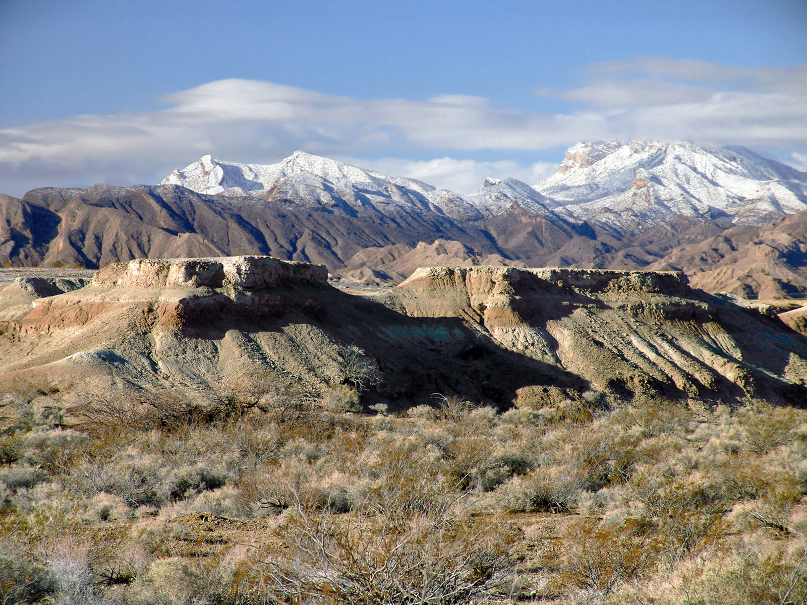
Tule Springs Fossil Beds National Monument
National Monument
Over the last ~570,000 years, water has transformed the Upper Las Vegas Valley. Tule Springs Fossil Beds National Monument is an urban park that preserves the unique story of this ever-changing enviro...
16 mi from route
~40 min detour
Free
near mile 88.4
Park Closure: South Unit temporarily closed south of Grand Teton Drive; Trailheads remain open.
Park data from the National Park Service API. Alerts update every 2 hours.
More Details
What kind of drive is this?
Expect a turn-heavy local drive as you transition between rural stretches and the urban approach to Las Vegas. The trip utilizes the Great Basin Highway, the Las Vegas Freeway, and West Bonanza Road to navigate the terrain. With a highway share of just 22%, the majority of your time is spent on local roads that require your full attention. You will encounter your longest stretch of continuous driving on the Great Basin Highway, which spans 72.9 miles. This mix of road types keeps the drive engaging and requires you to shift your driving style as you move from open highway sections into the more technical local segments.
Only 22% highway — the rest is turn-by-turn surface driving.
11 navigation steps total — most of the decisions cluster near the start and finish.
Longest single stretch: 72.9 mi on Great Basin Highway.
How Hard Is This Drive?
3/10
Expect a hands-on drive with frequent turns and local roads rather than long highway stretches. There are only a few real navigation decisions along the way. The trickiest moment comes around 0.1 miles in near 4469 / Broadway.
Driving Effort3/10
Easy - simple navigation with a manageable amount of wheel time
Balances navigation complexity with total wheel time.
This is a straightforward 1h 47m drive. You will face about 8 decision points, but nothing that requires special attention if you follow navigation.
Where does it get tricky?
The main spots that need attention: at 0.1 miles (4469 / Broadway): Navigation decision point; at 73.2 miles (US 93): Exit ramp - move to the correct lane early. Multiple destination signs - pick the right one; at 73.7 miles (I 15; US 93 / Las Vegas Freeway): Merge point - match speed before joining. Lane positioning matters here.
Situated in the midst of the southern Nevada desert, Las Vegas is the largest city in the state of Nevada. Nicknamed Sin City, Las Vegas and its surrounding communities are famed for their mega-casino resorts, often lavishly decorated with names and themes meant to evoke romance, mystery, and exotic destinations. Along the brightly-lit Strip through the center of the city, visitors will find all manner of amusements and entertainment: circuses, stage shows, thrill rides, erotica, exotic animals, fine dining restaurants, nightclubs, shopping, and elaborate fountain displays, to say nothing of the age-old allure of gambling and drinking.
Mostly surface roads route profile with national parks nearby.
Frequently Asked Questions
The longest stretch is about 72.9 miles on Great Basin Highway. The full list of main roads is in the Roads section above.
Yes. At under 2 hours behind the wheel, this works well for families — plan one quick stop if you have younger kids.
Mostly yes along the main roads, but rural stretches through NV can have sparse or no coverage. Before you leave, download offline Google Maps or Apple Maps for the route, and consider downloading music or podcasts instead of streaming. If you depend on data for navigation, keep a paper backup of the turn-by-turn directions.
The main spots that need attention: at 0.1 miles (4469 / Broadway): Navigation decision point; at 73.2 miles (US 93): Exit ramp - move to the correct lane early. Multiple destination signs - pick the right one; at 73.7 miles (I 15; US 93 / Las Vegas Freeway): Merge point - match speed before joining. Lane positioning matters here.
Yes — Tule Springs Fossil Beds National Monument. See the National Parks section for detour distances and tips on detours.
Yes. A round trip is manageable in a single day if you plan a break at Las Vegas, NV before heading back.